

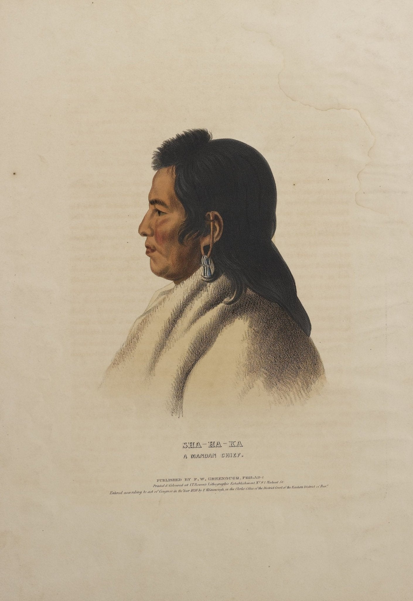
1838 Sha-Ha-Ka: A Mandan Chief Hand-Colored Lithograph
Sale price$1,500.00
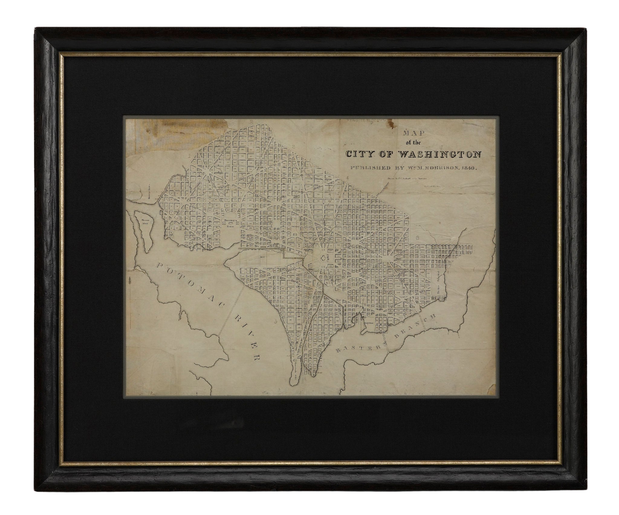
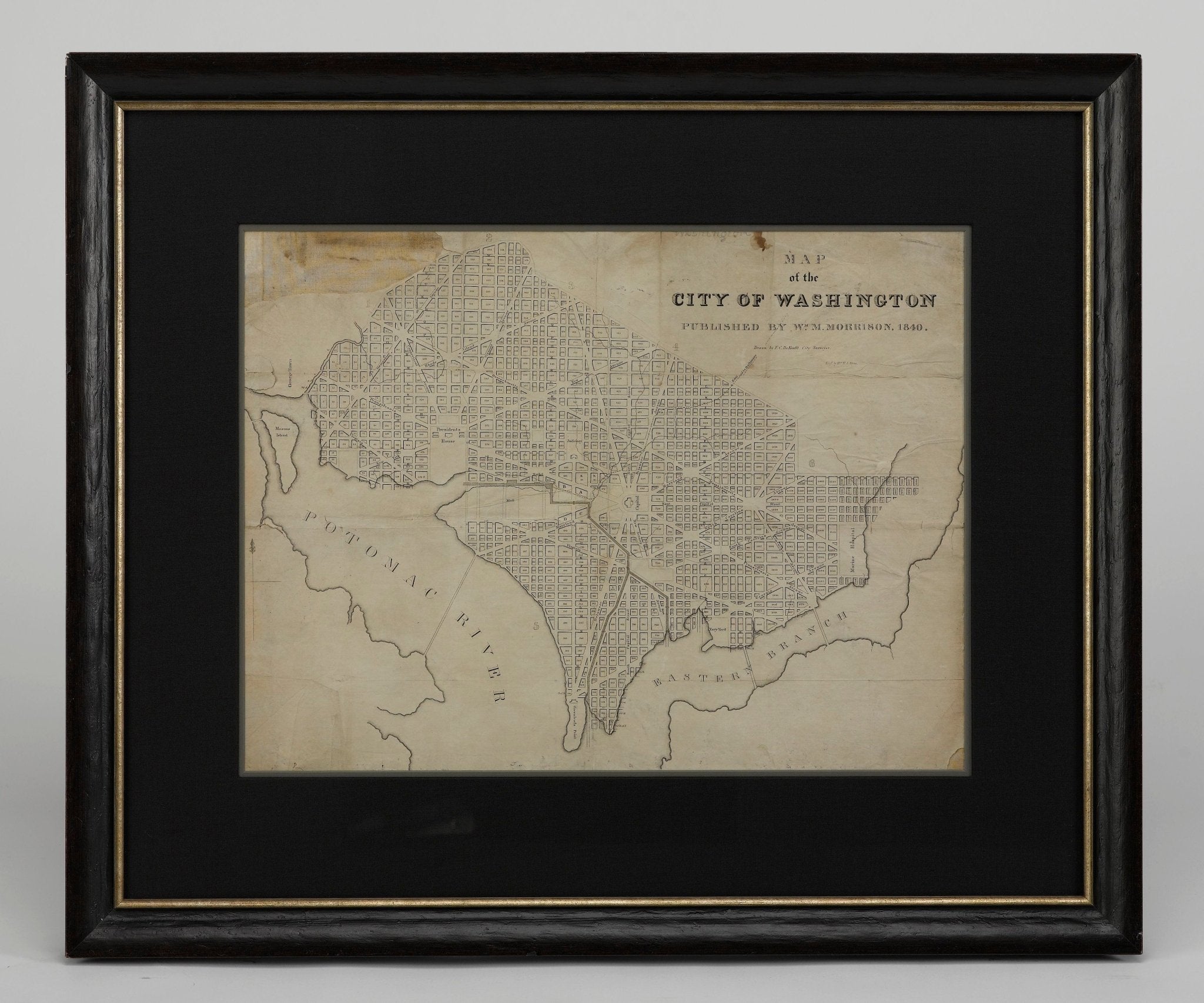
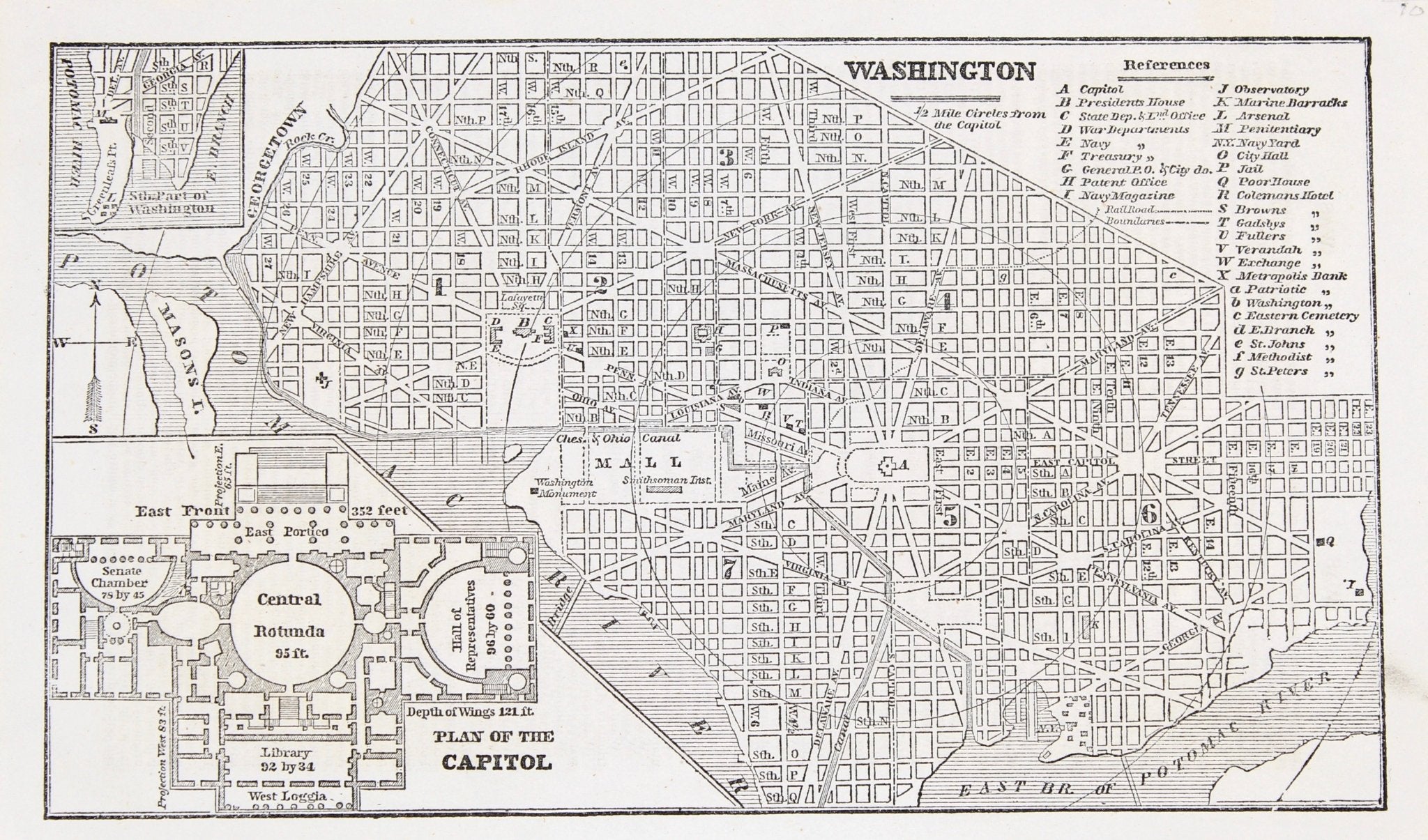
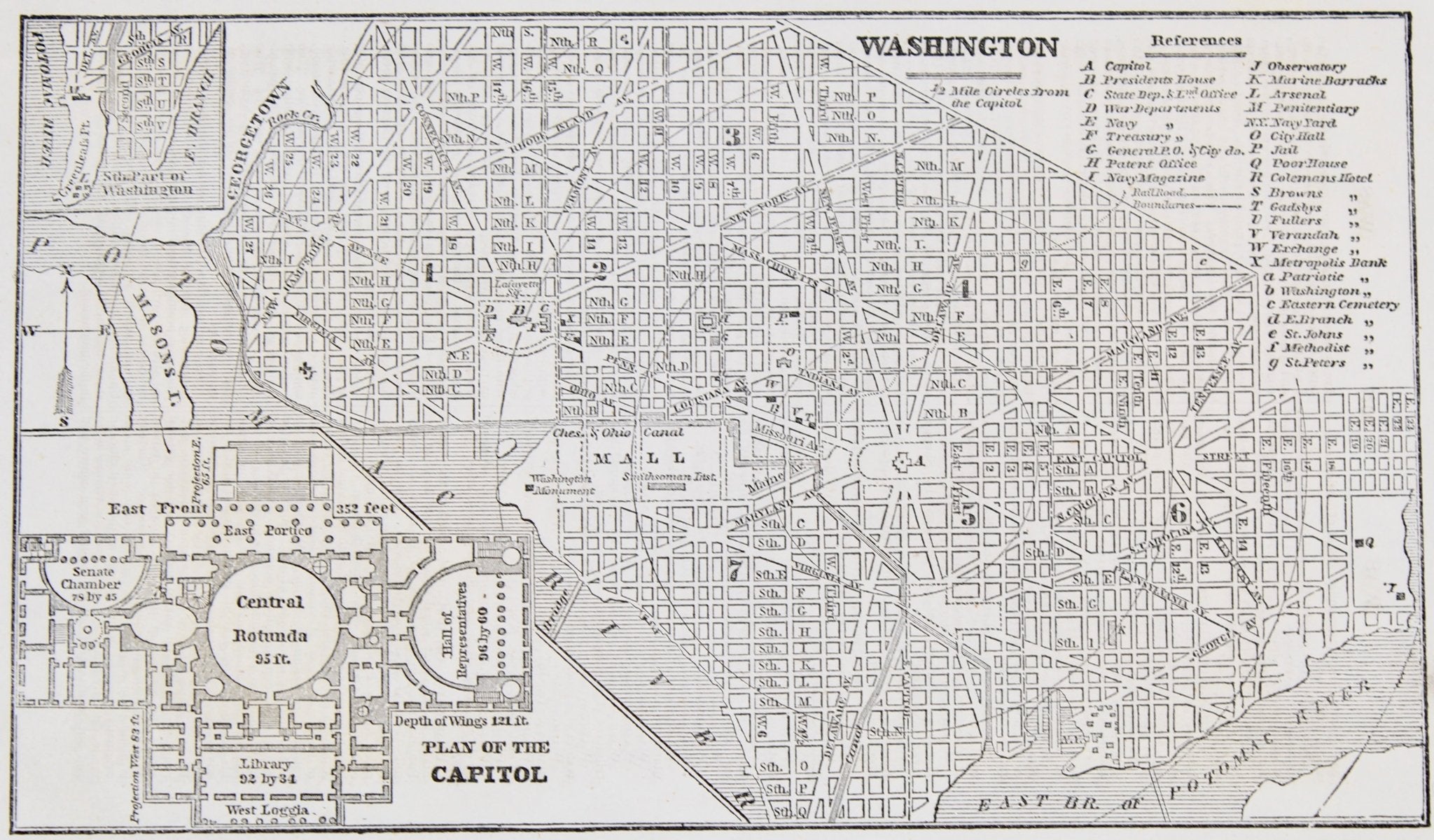
1840 "Map of the City of Washington" Published by William M. Morrison
Sale price$3,650.00
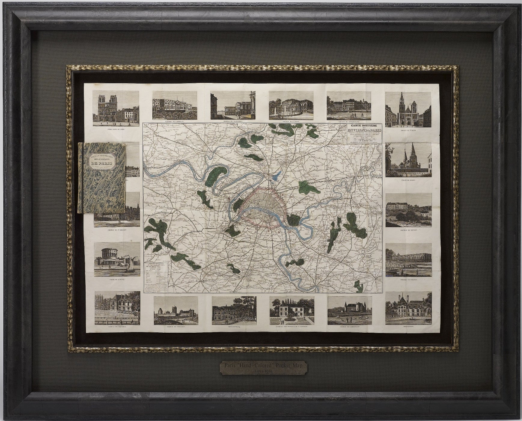
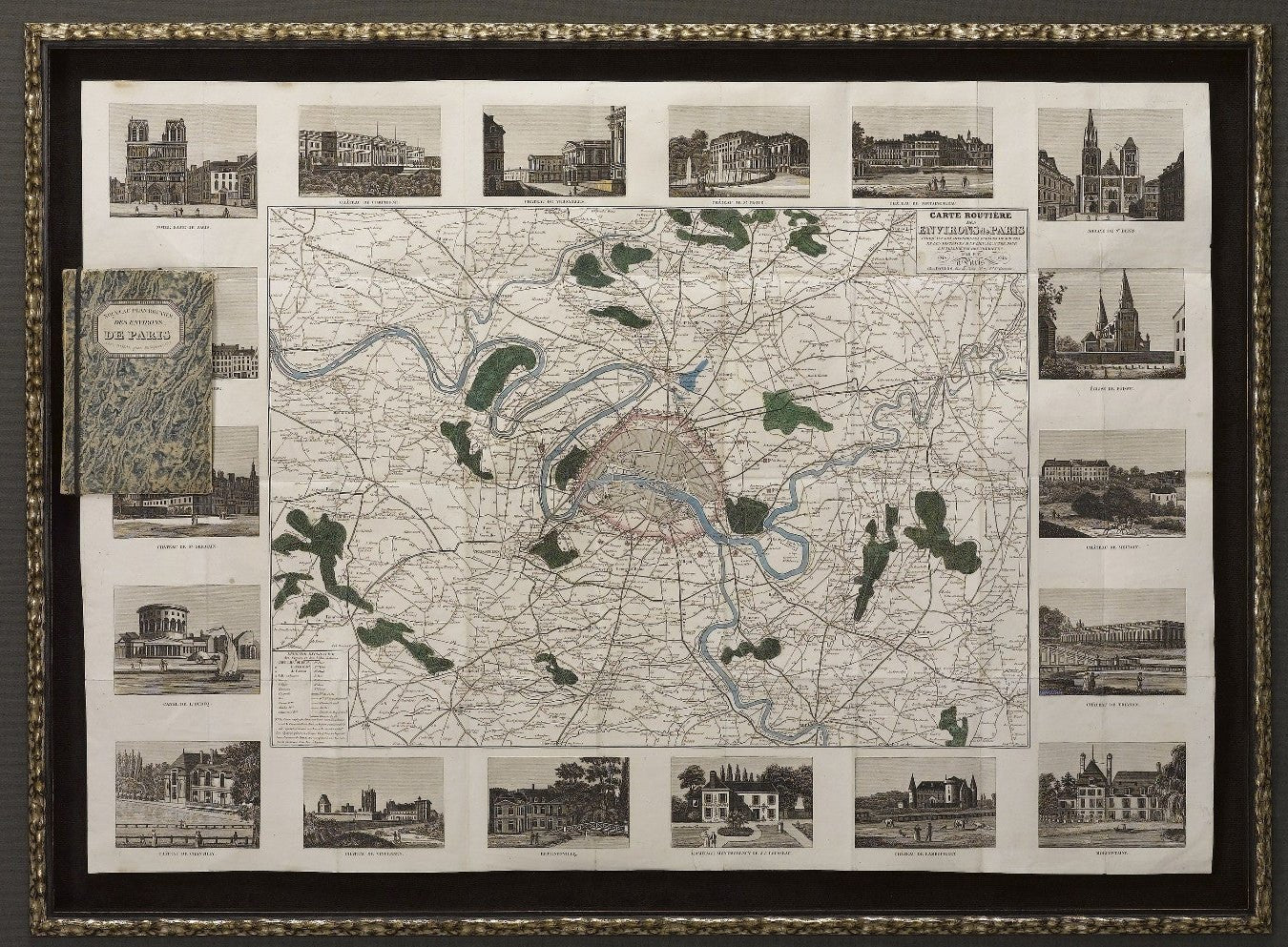
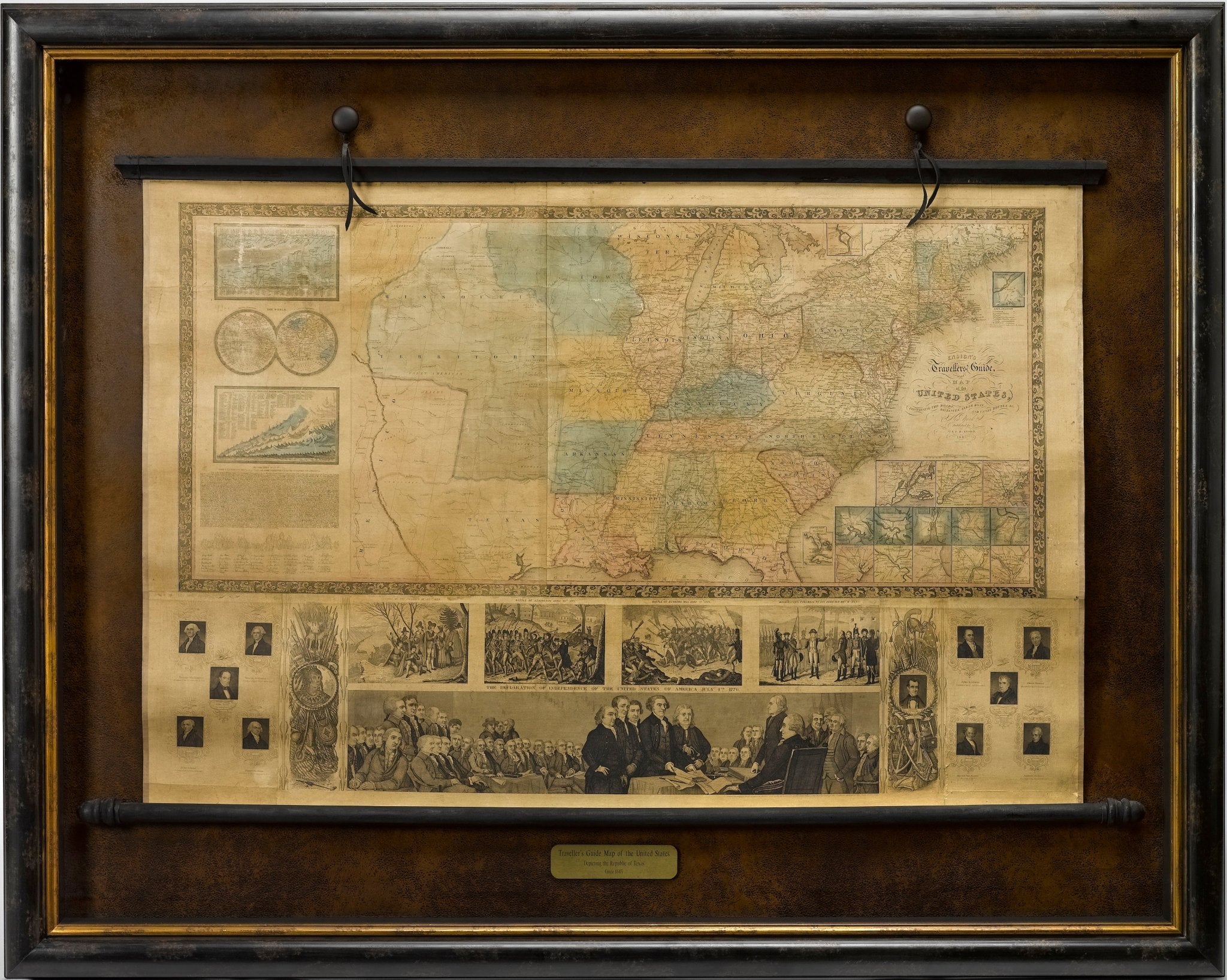
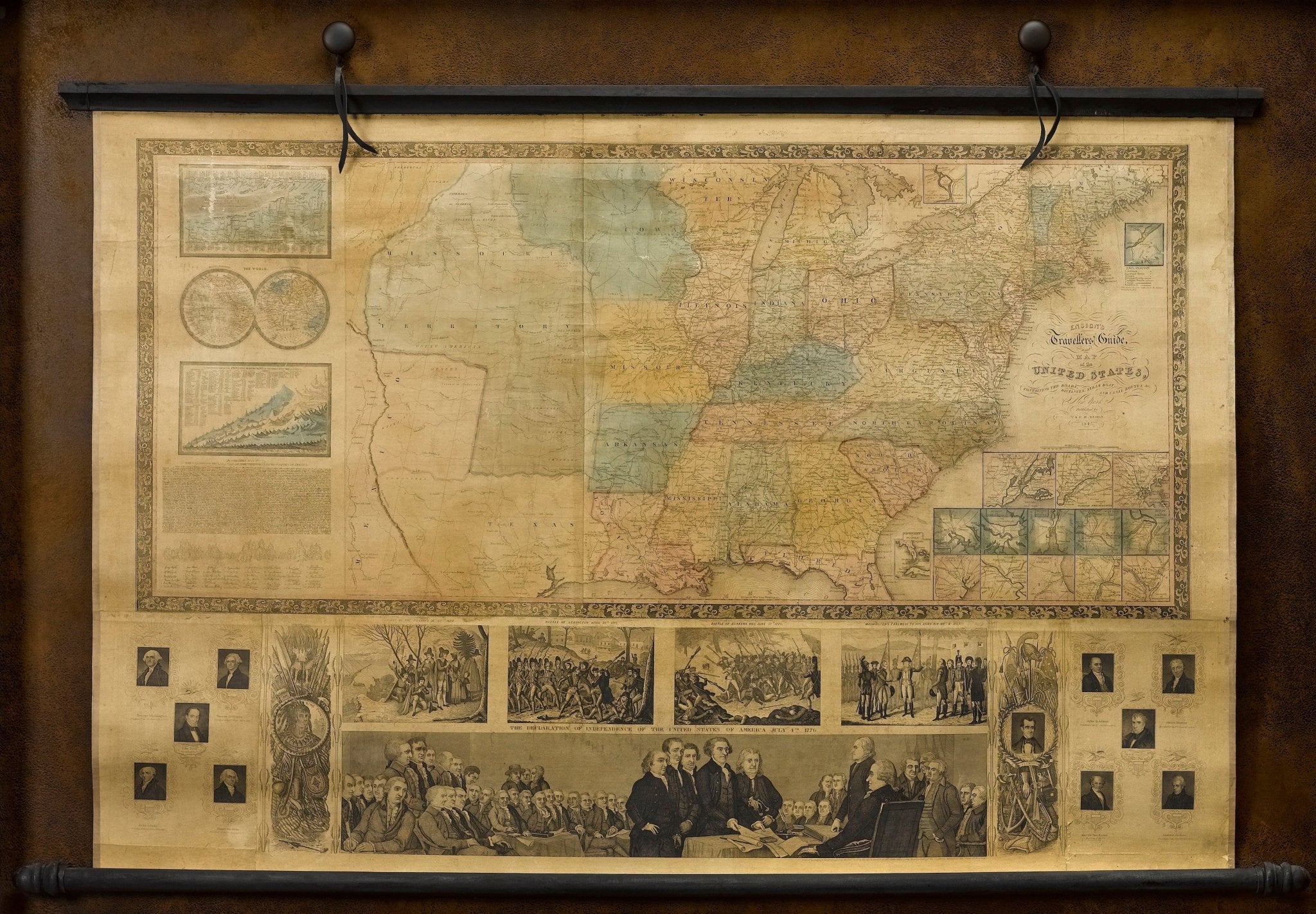
1841 "Carte Routiere des Environs de Paris" Folding Pocket Map
Sale price$3,250.00
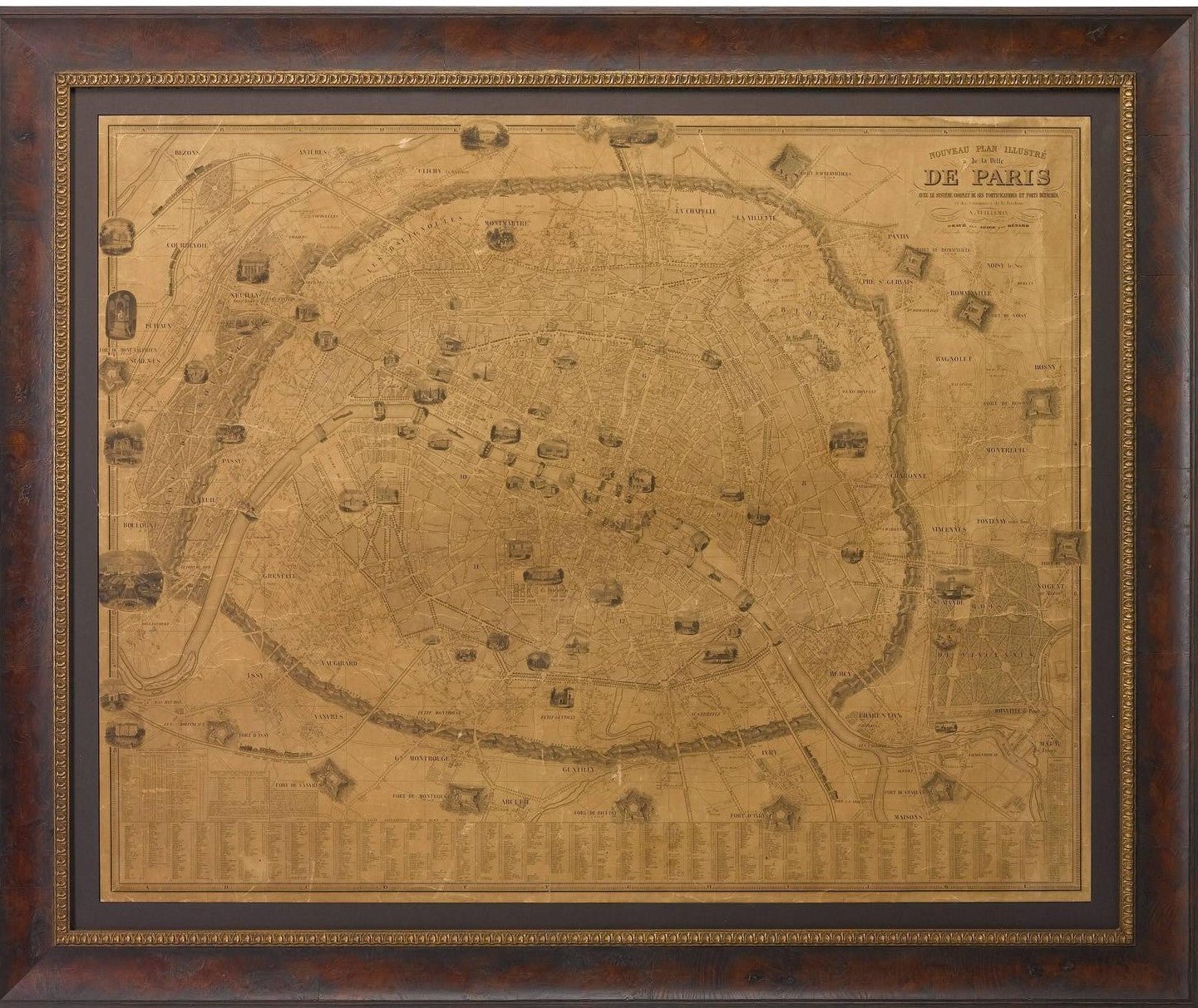
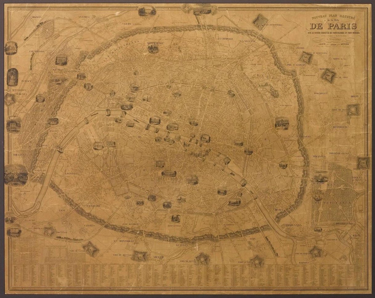
1845 "Nouveau Plan Illustre de la Ville de Paris" Map by A. Vuillemin
Sale price$3,950.00
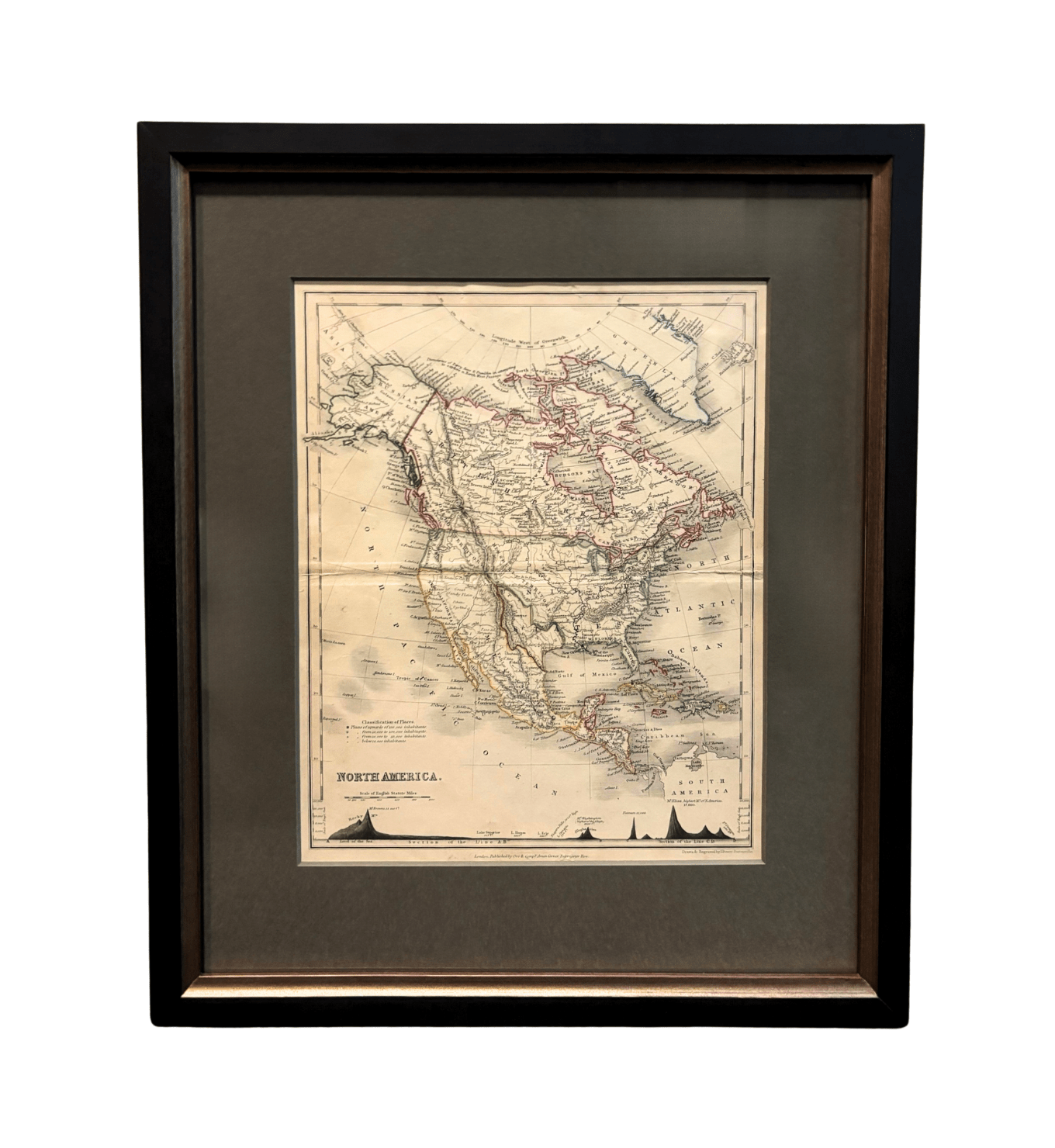
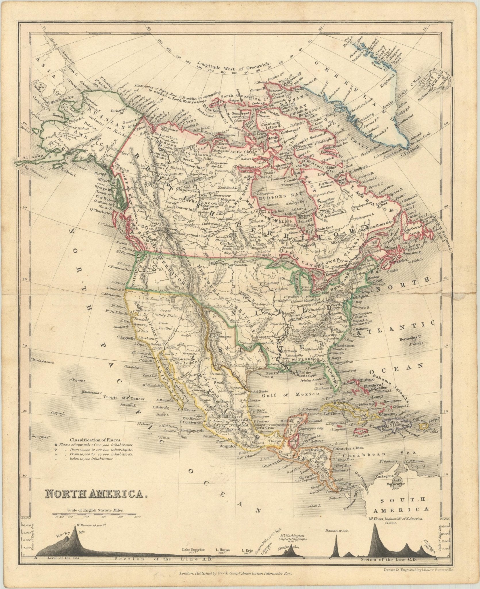
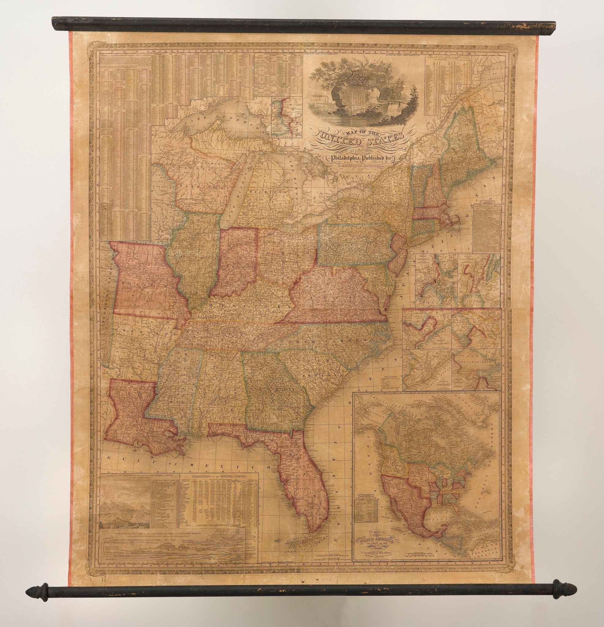
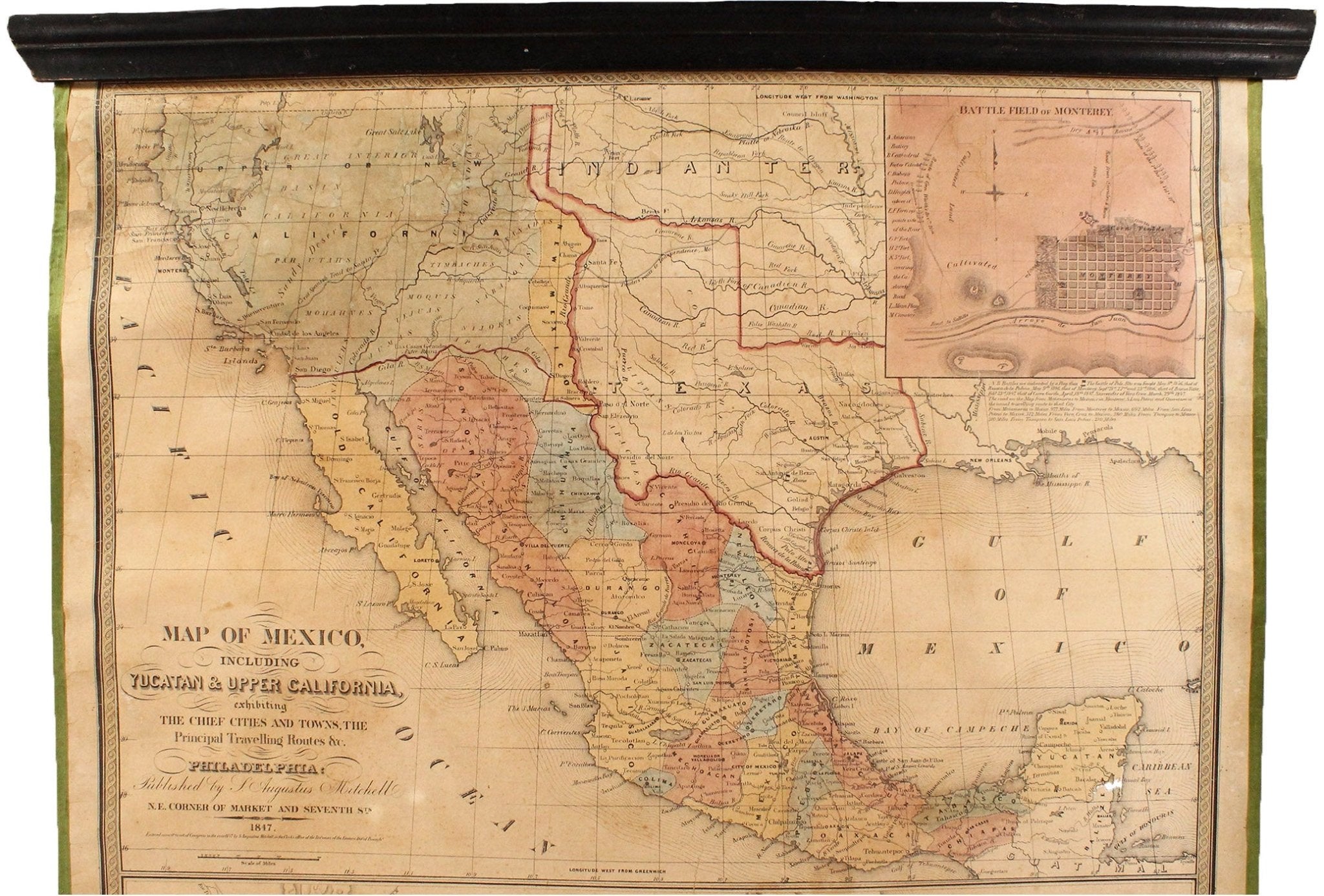
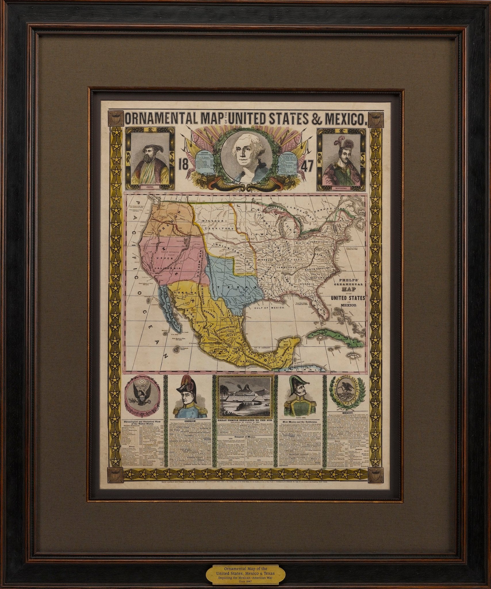
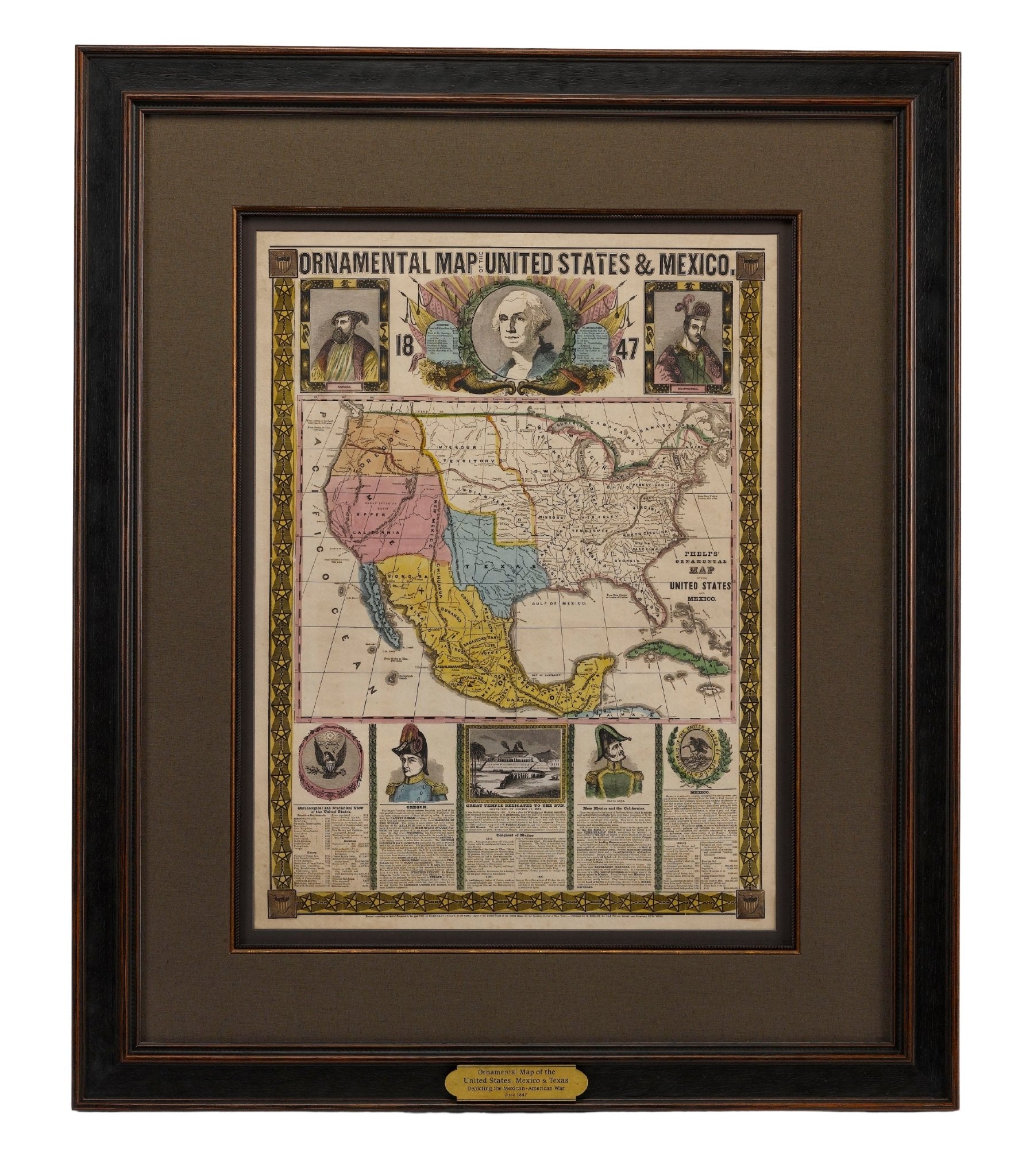
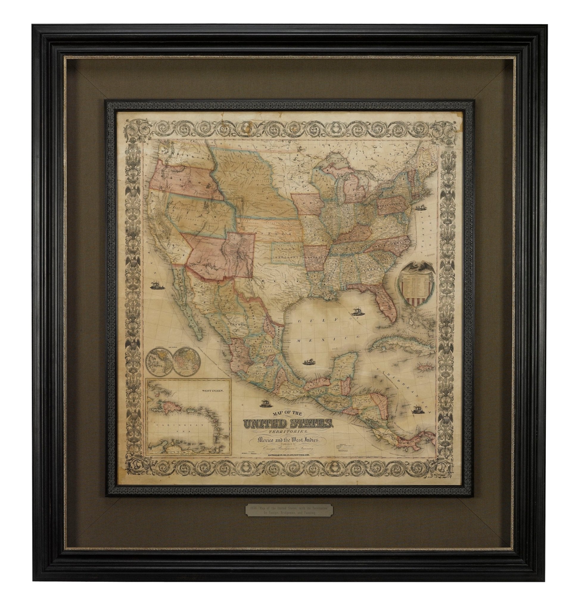
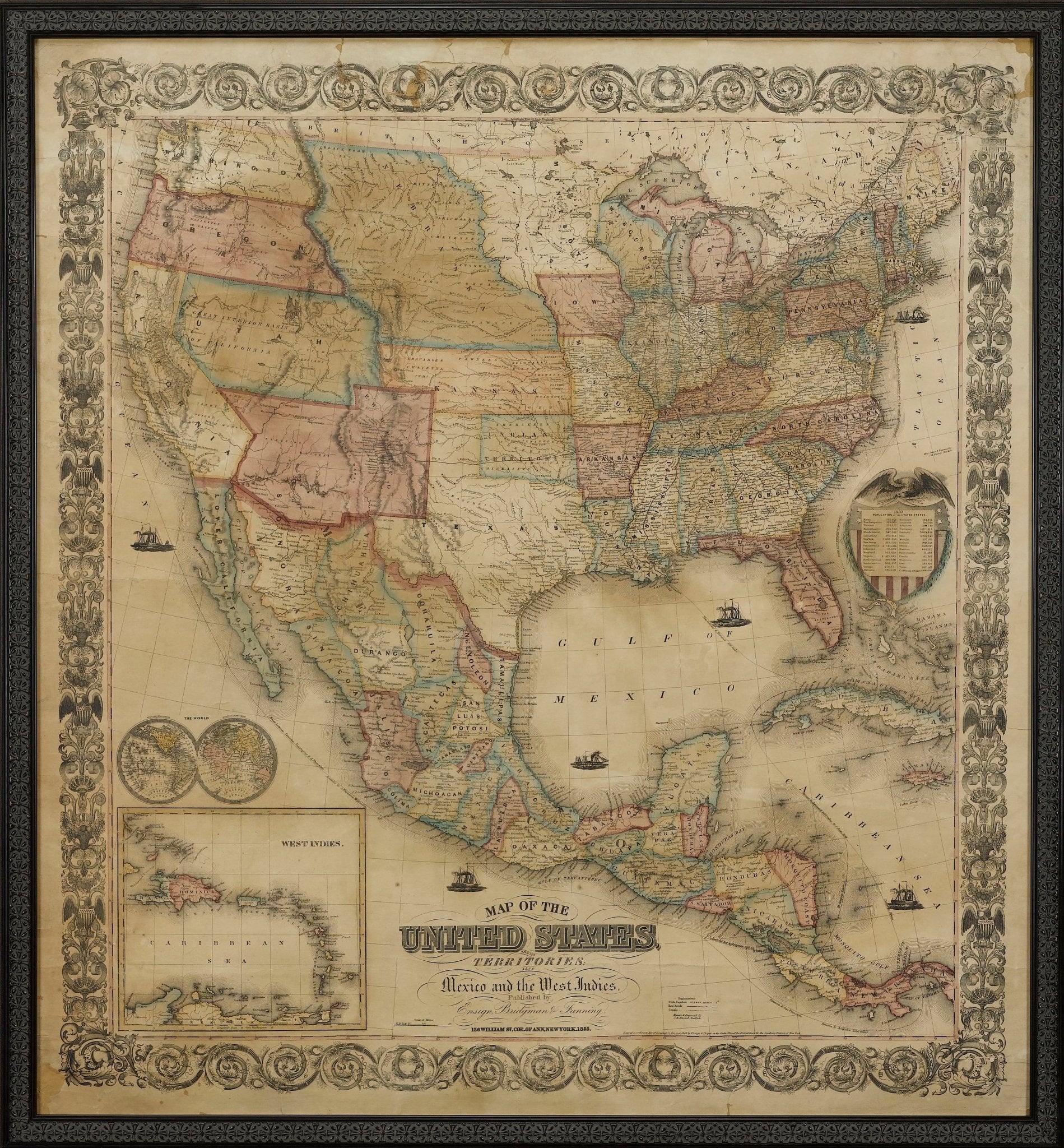
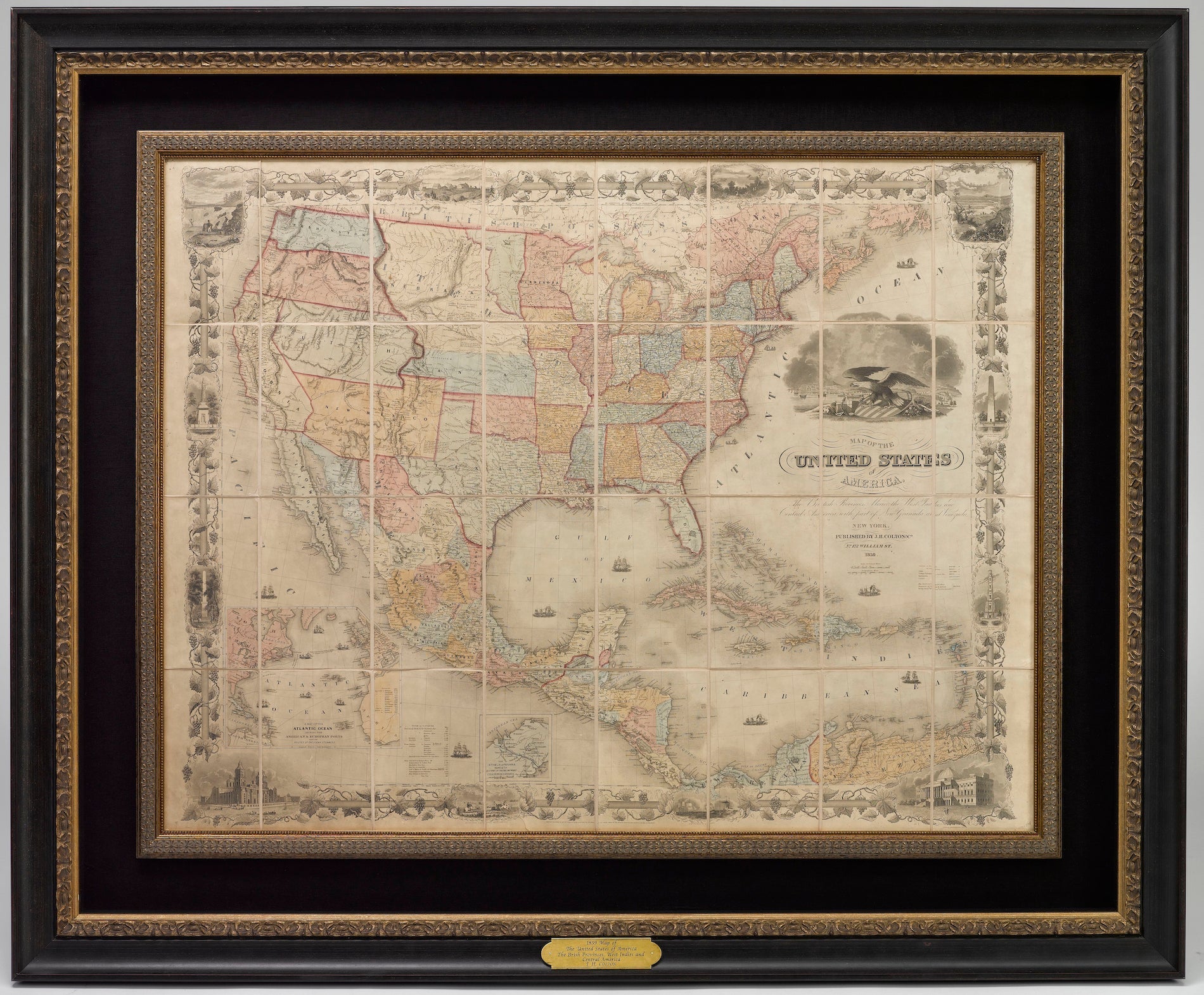
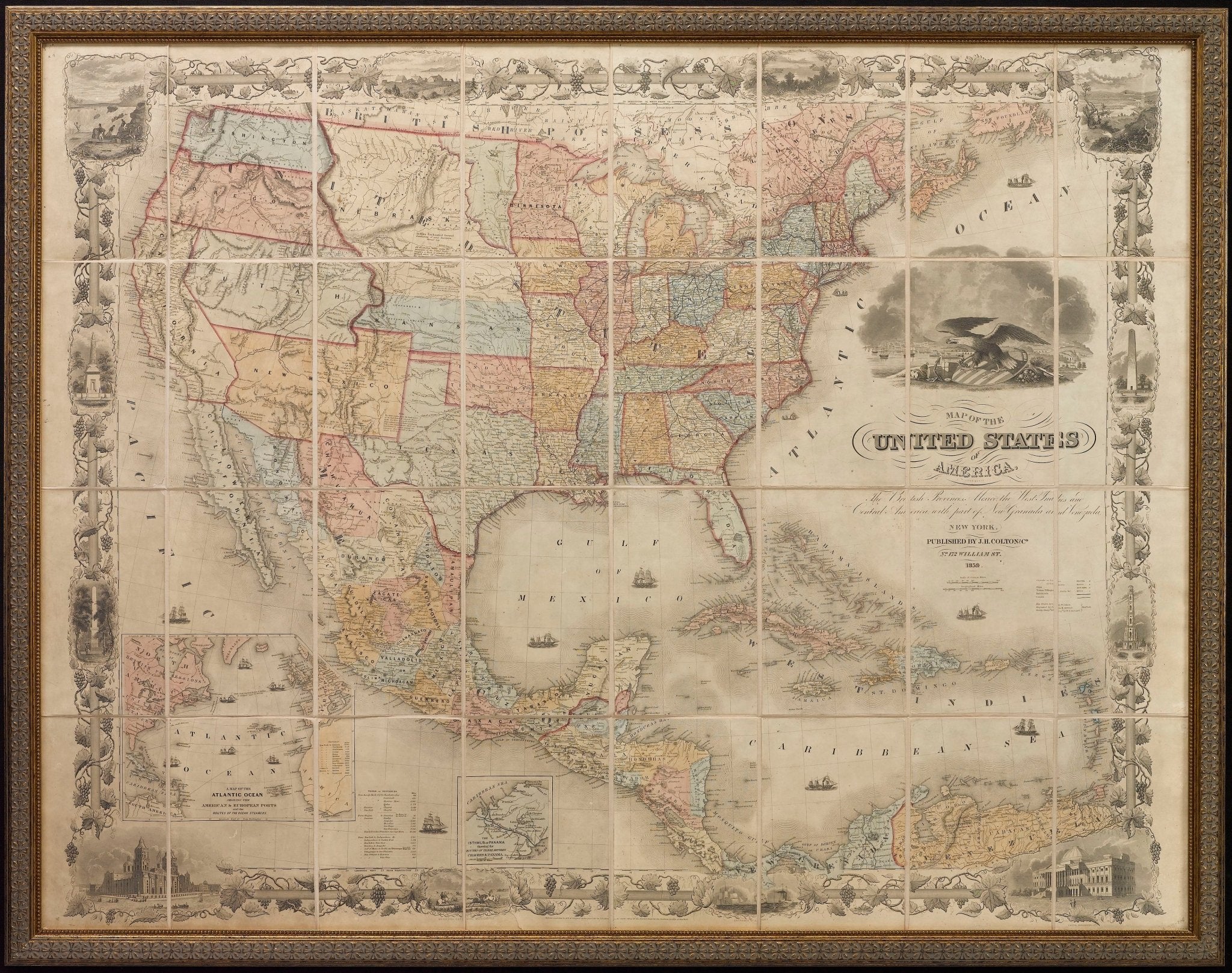
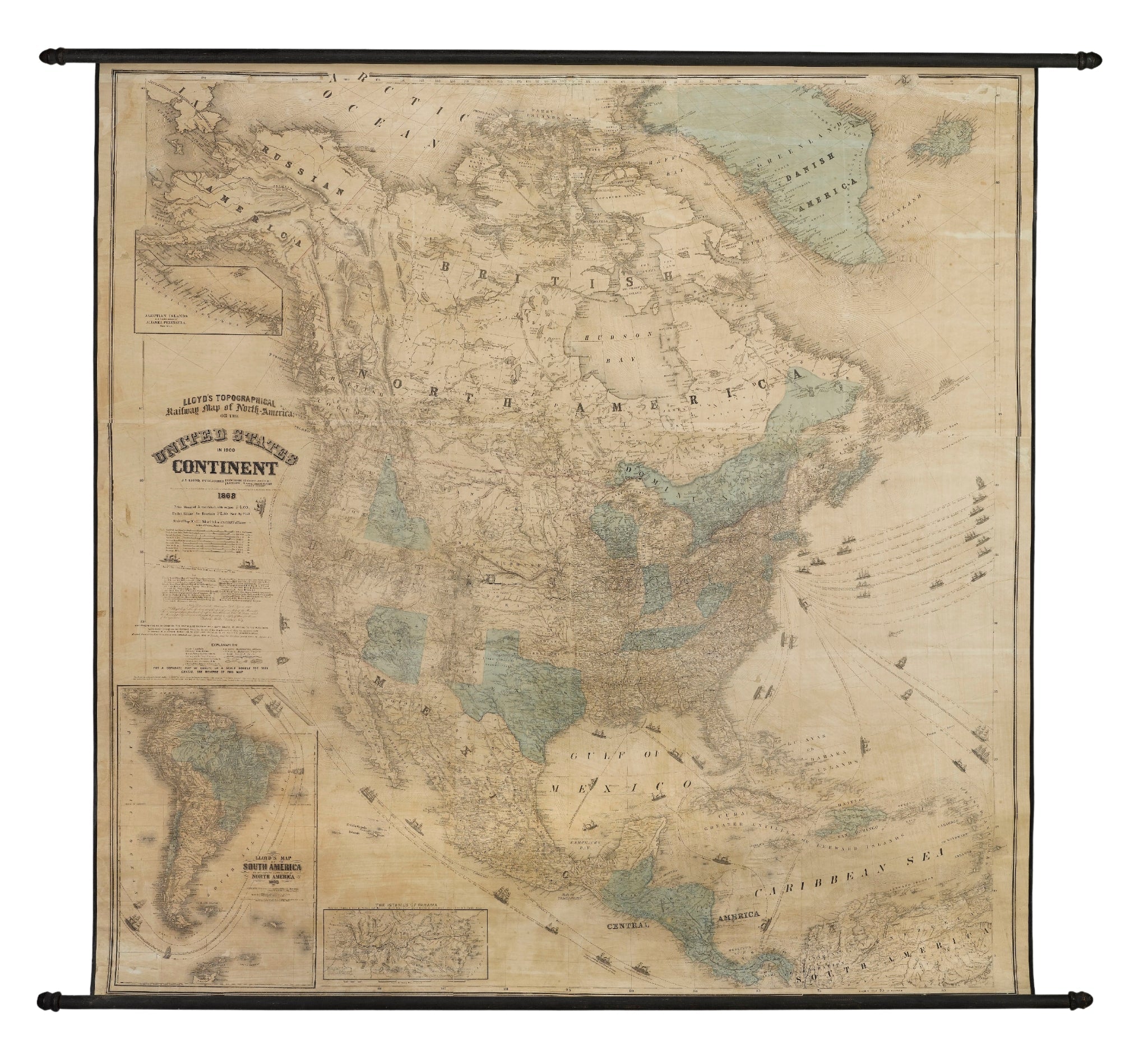
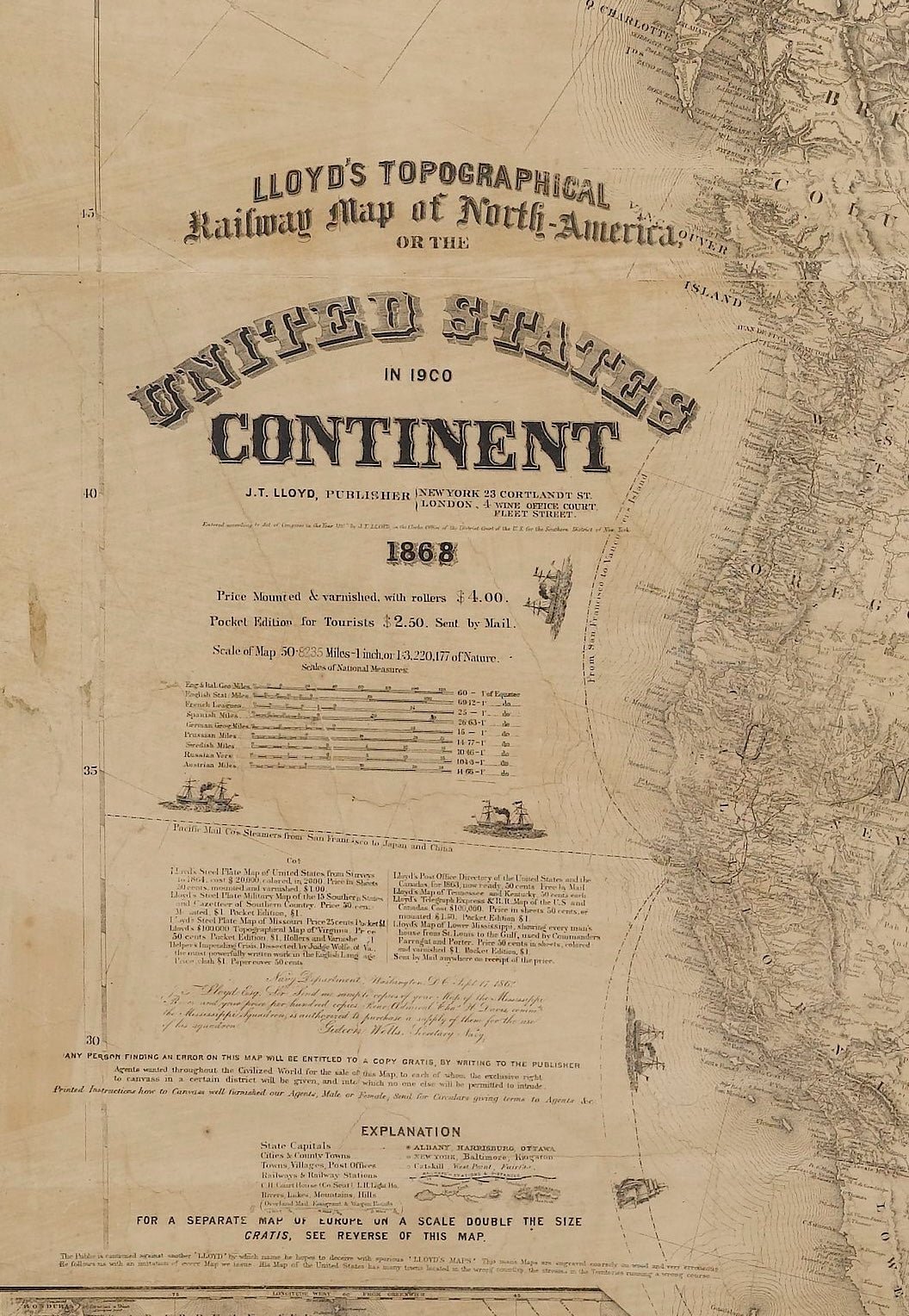
1846 "North America" Map, Engraved by I. Dower
Sale price$950.00
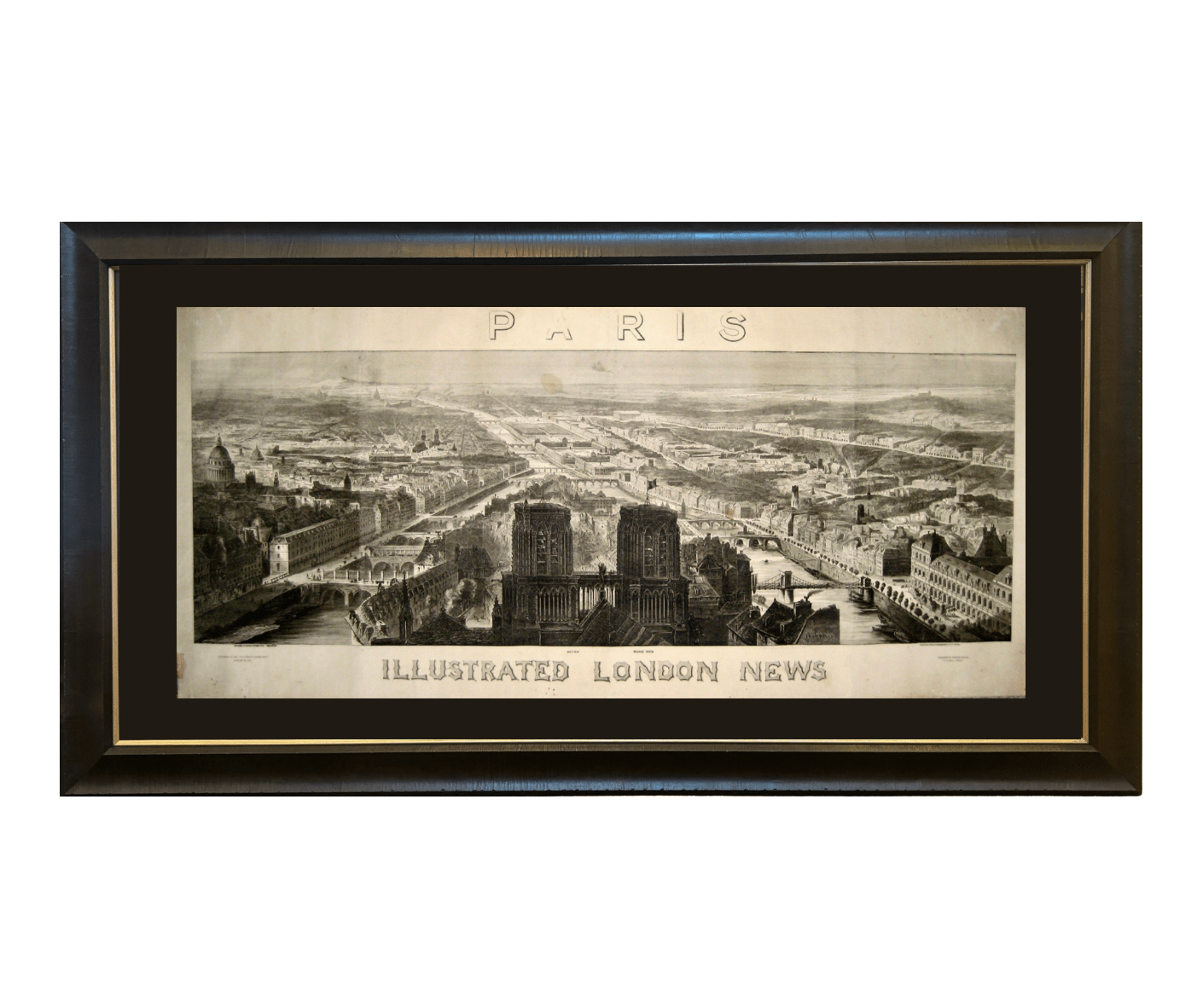
1848 "Paris" Bird's Eye View, Published by the Illustrated London News
Sale price$3,750.00
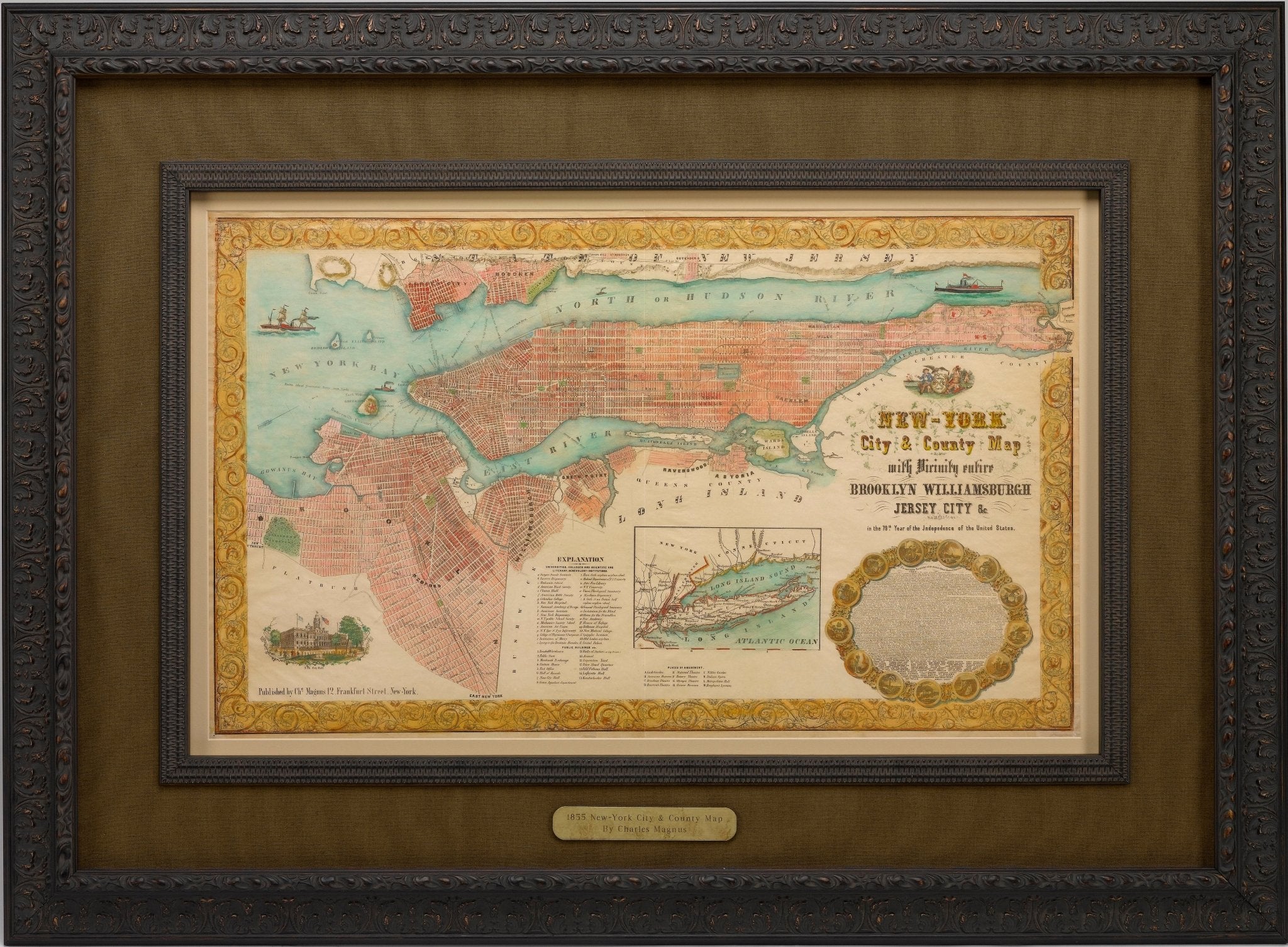
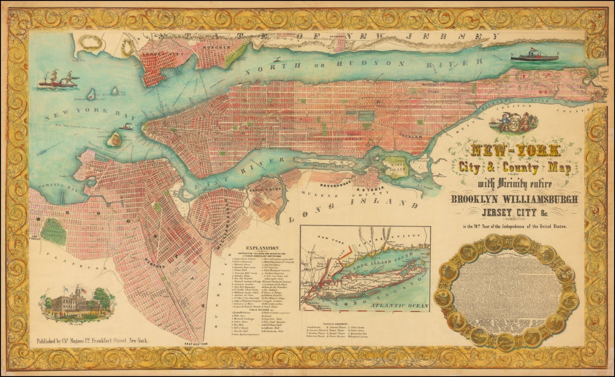
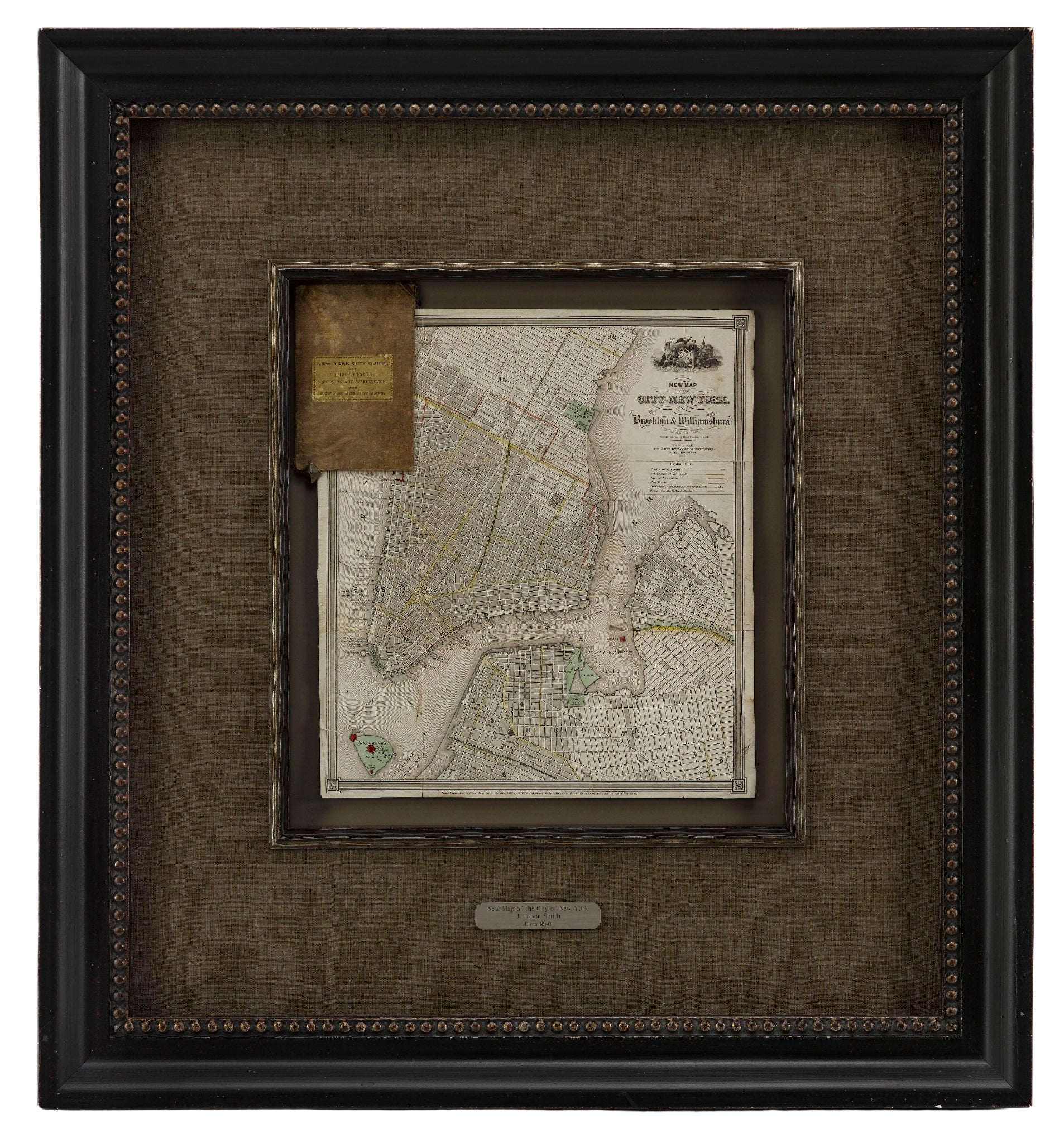
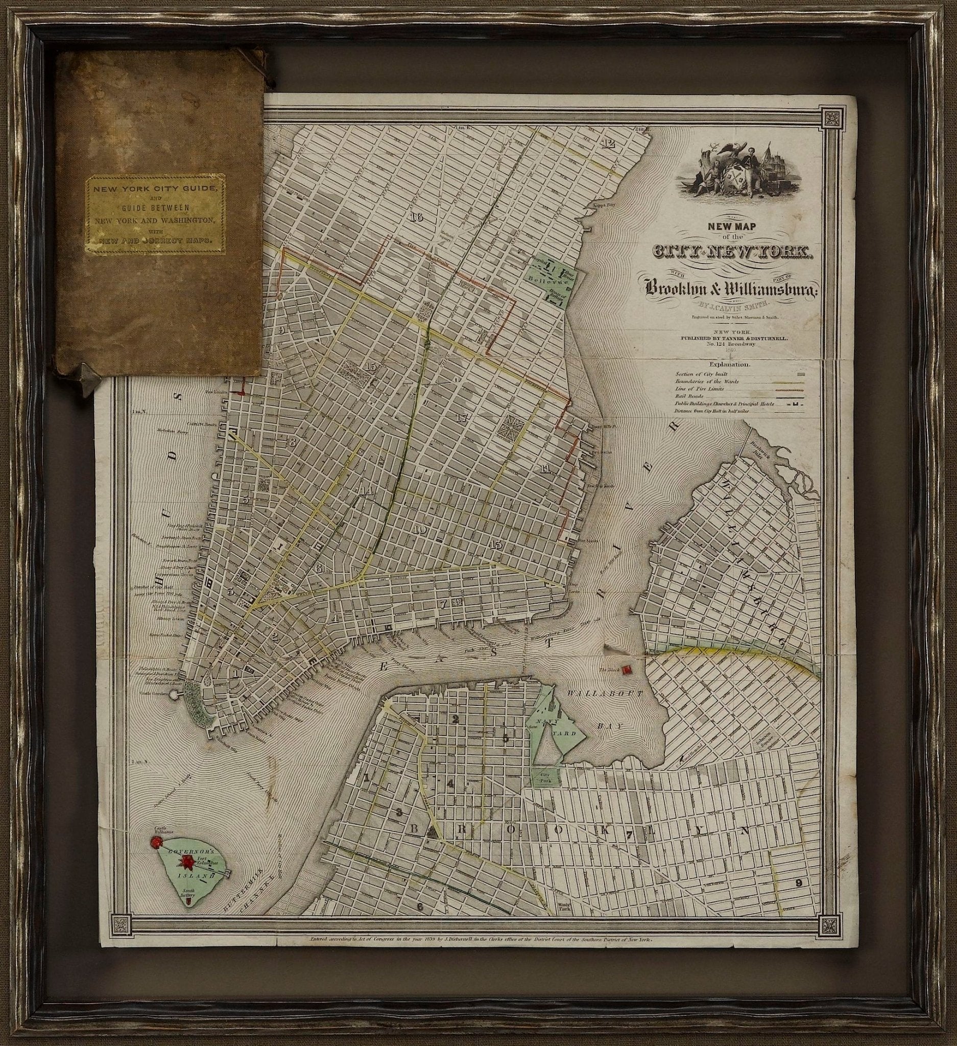
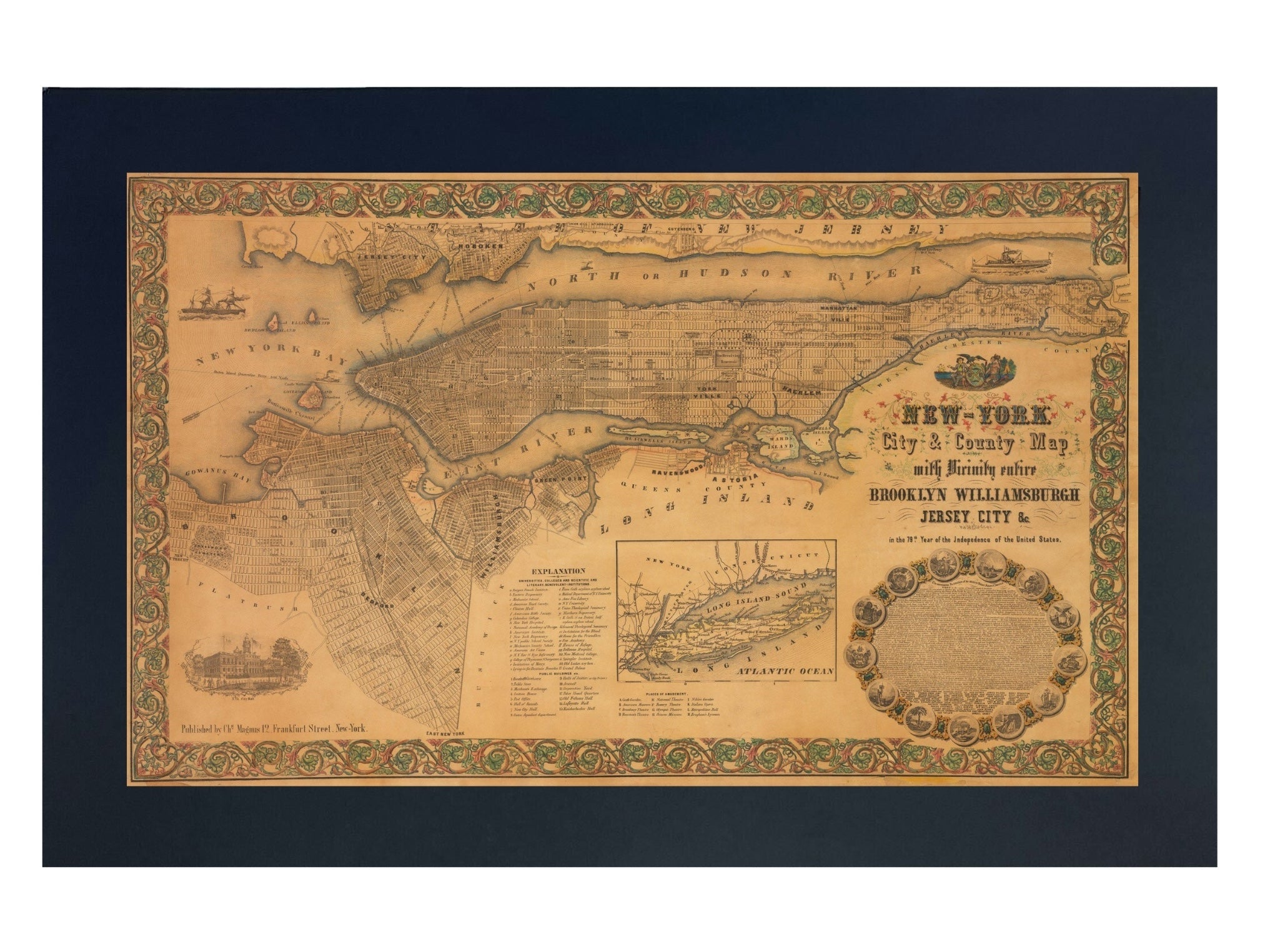
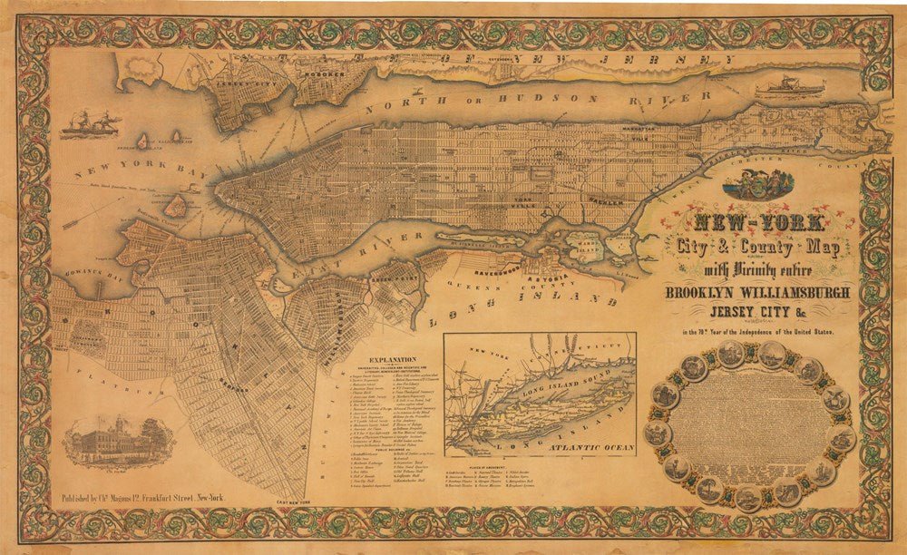
1855 "New-York City & County Map with Vicinity entire Brooklyn Wiliamsburgh Jersey City &c." Map by Charles Magnus
Sale price$7,950.00
Regular price$9,500.00
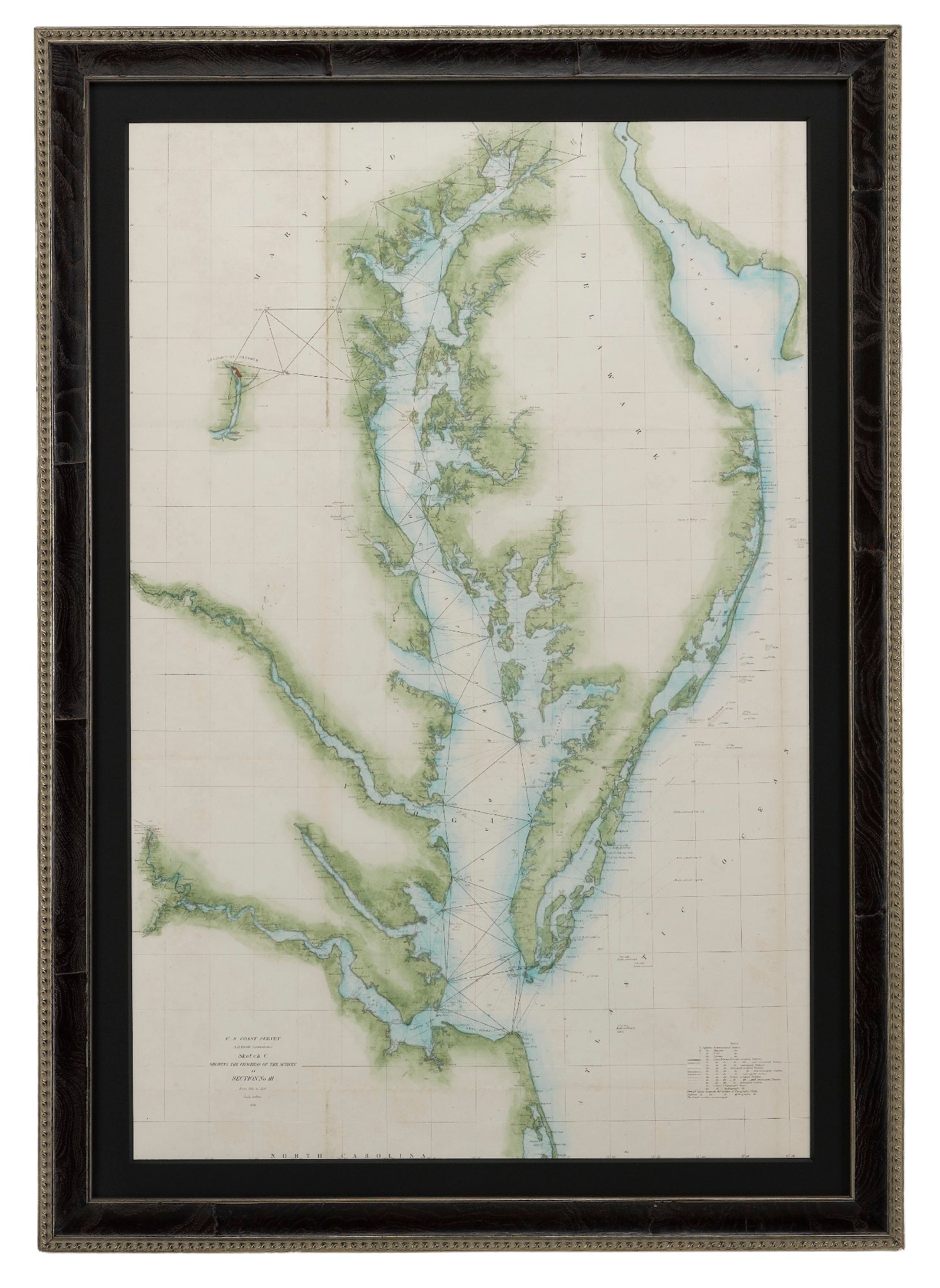
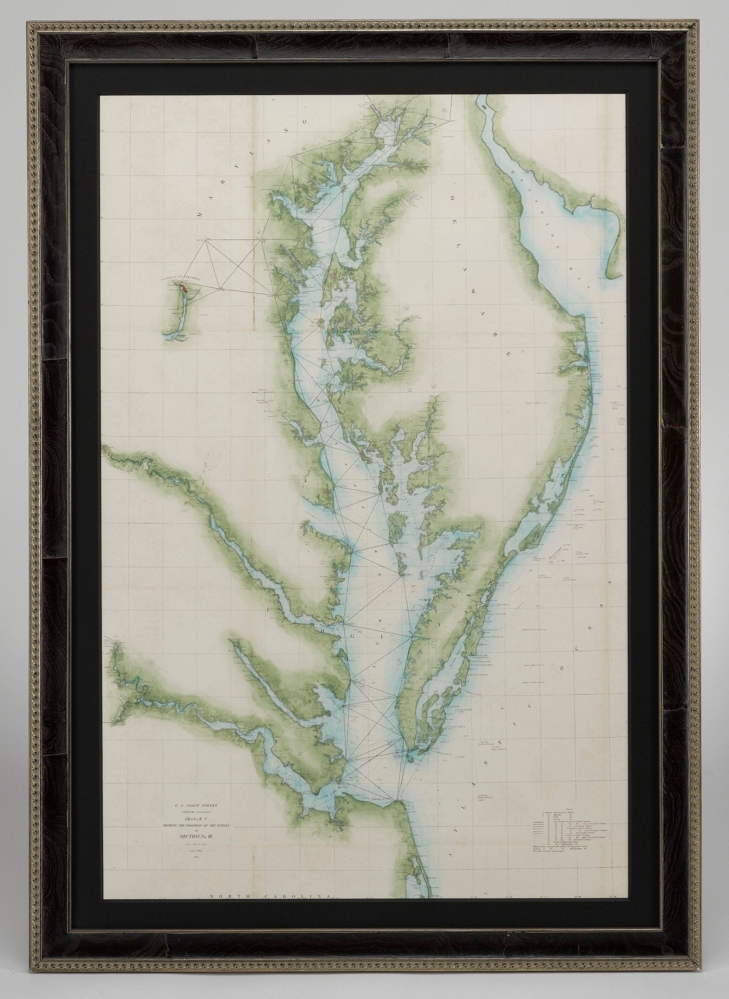
1856 "U.S. Coast Survey Map of Chesapeake Bay and Delaware Bay" by A. D. Bache.
Sale price$4,250.00
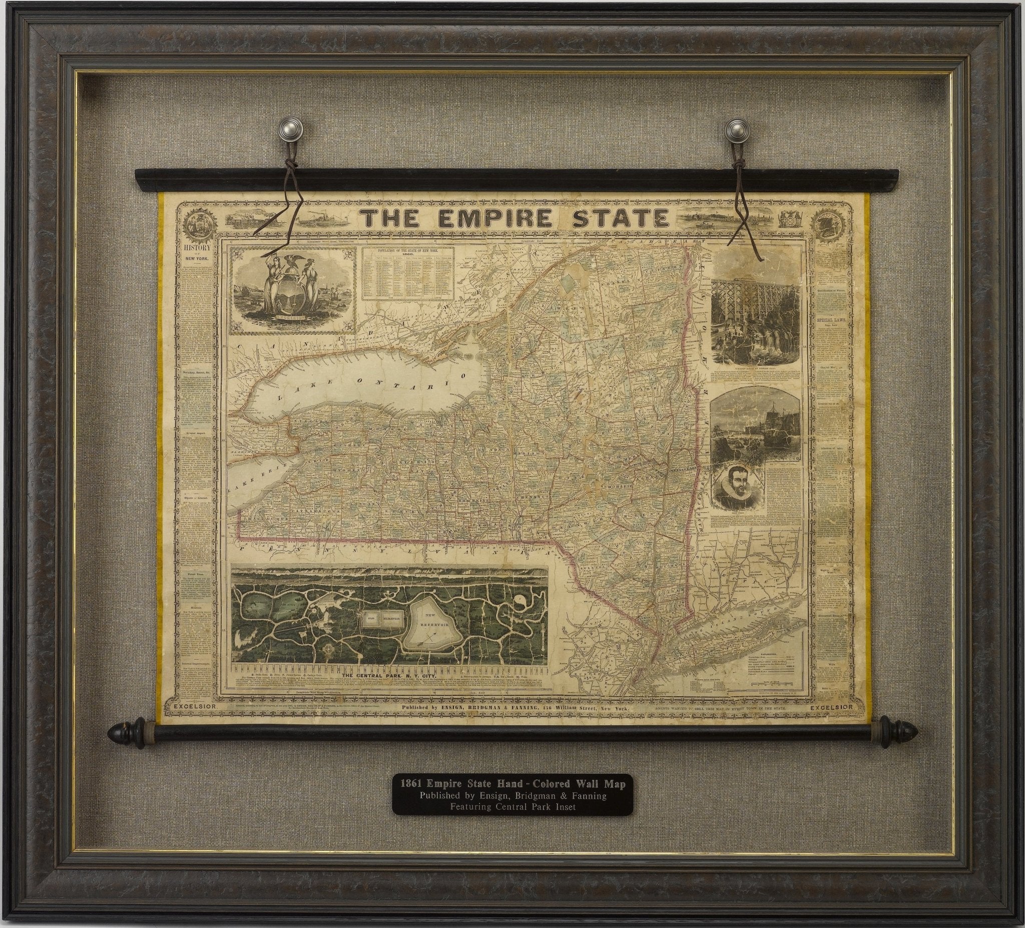
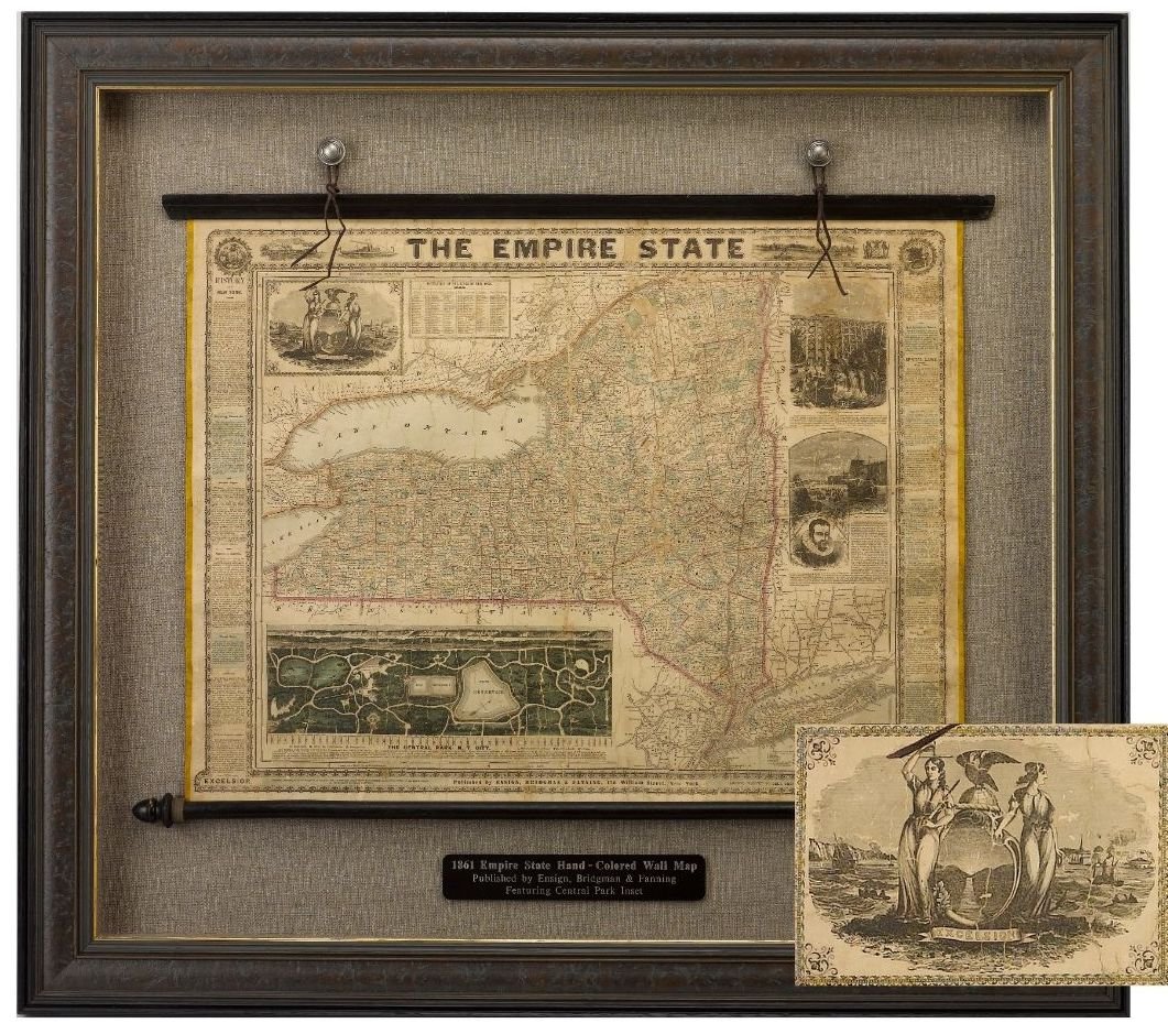
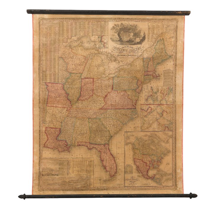
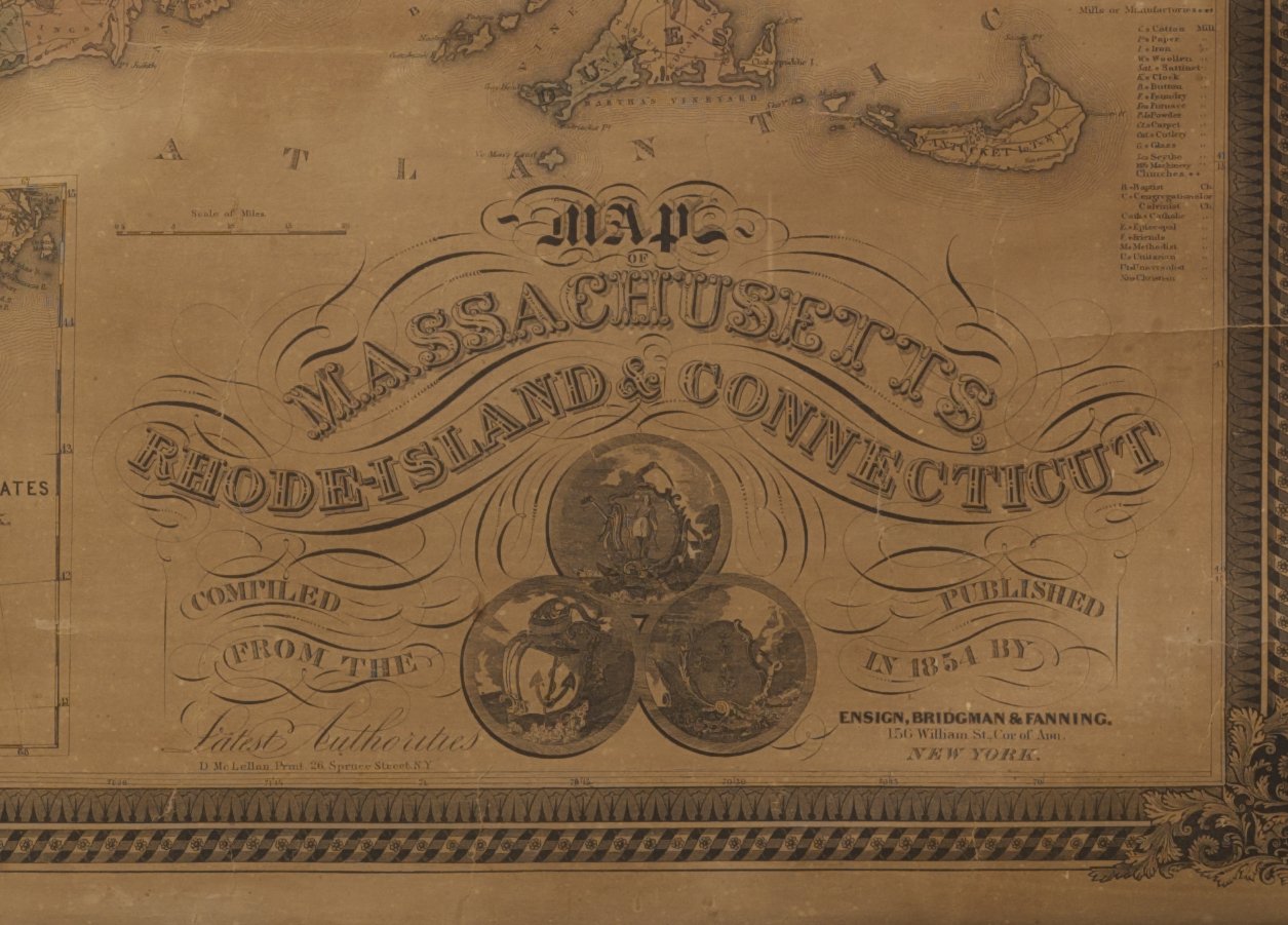
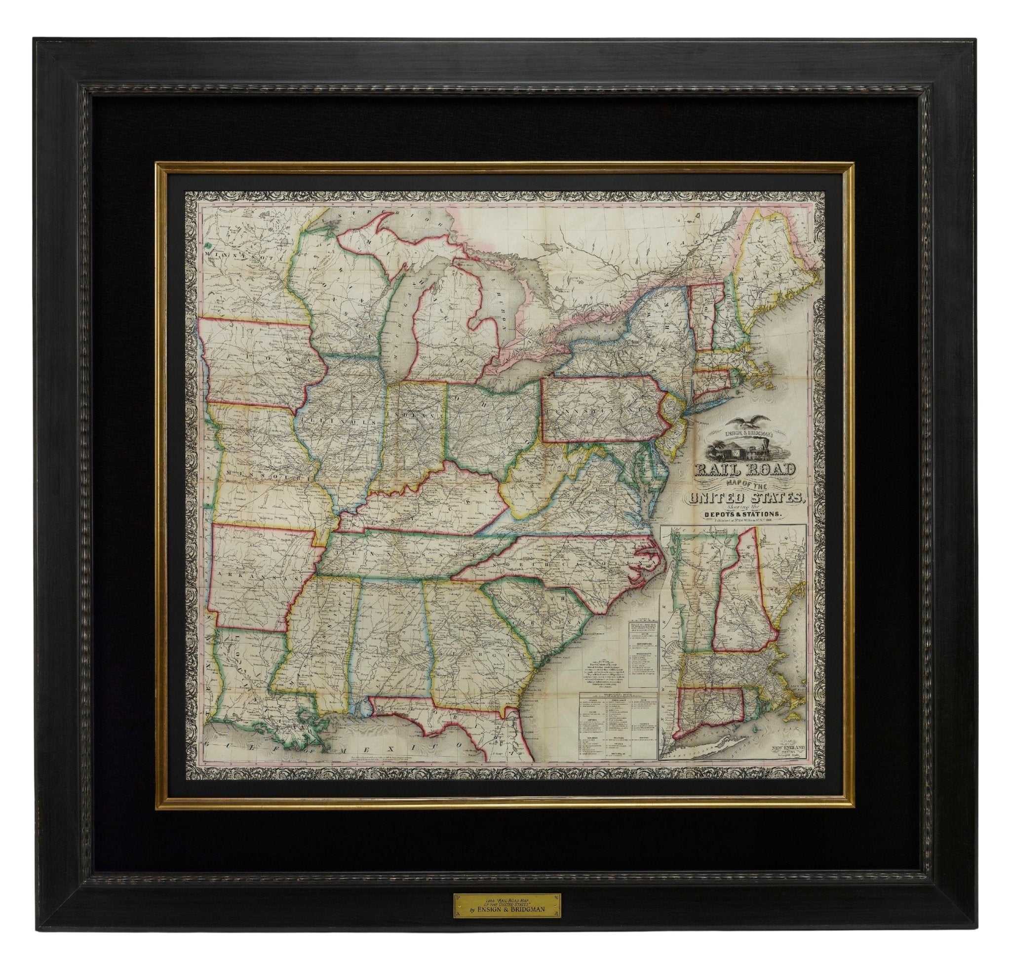
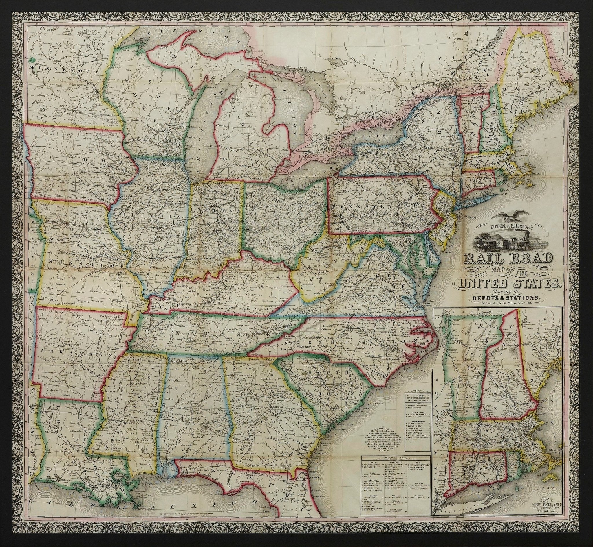
1861 "The Empire State" Wall Map by Ensign, Bridgman & Fanning
Sale price$7,950.00
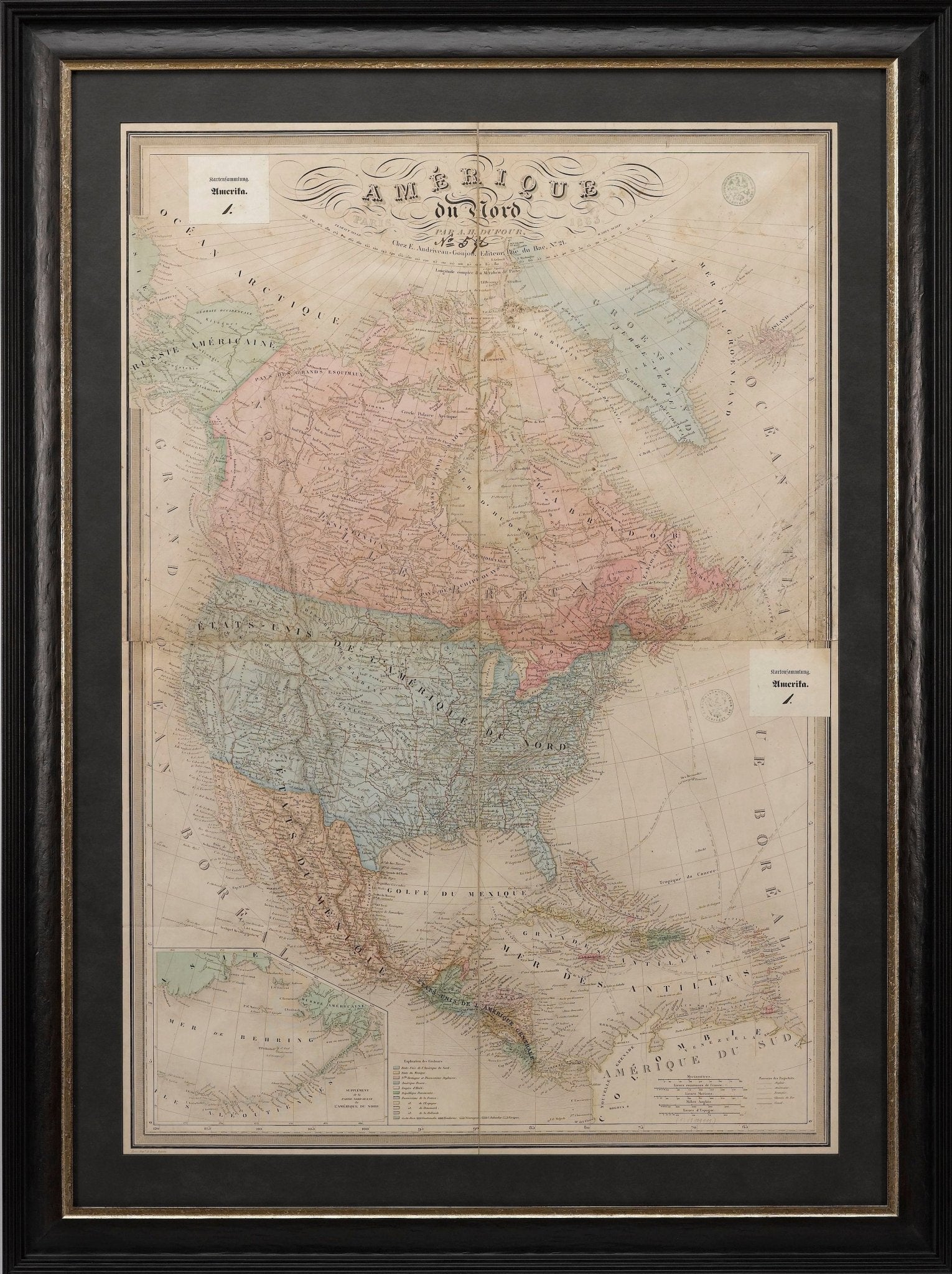
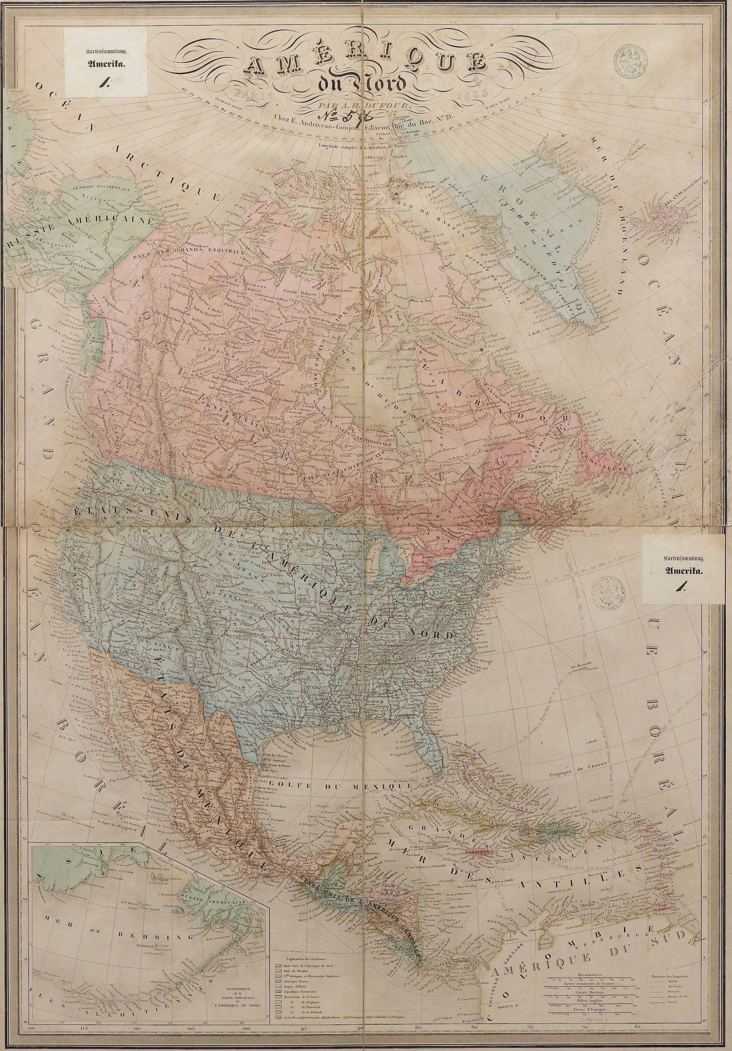
1864 "Amerique du Nord" by Adolphe Hippolyte Dufour
Sale price$4,500.00
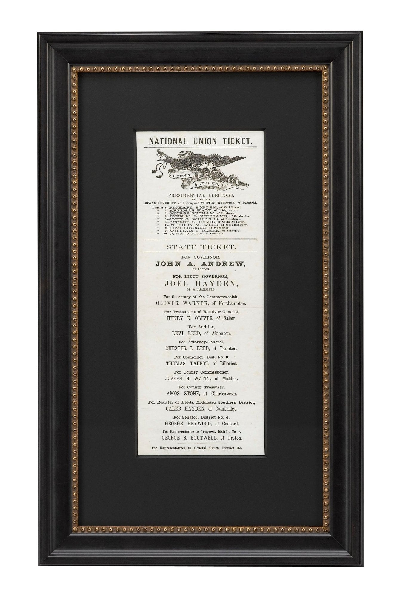
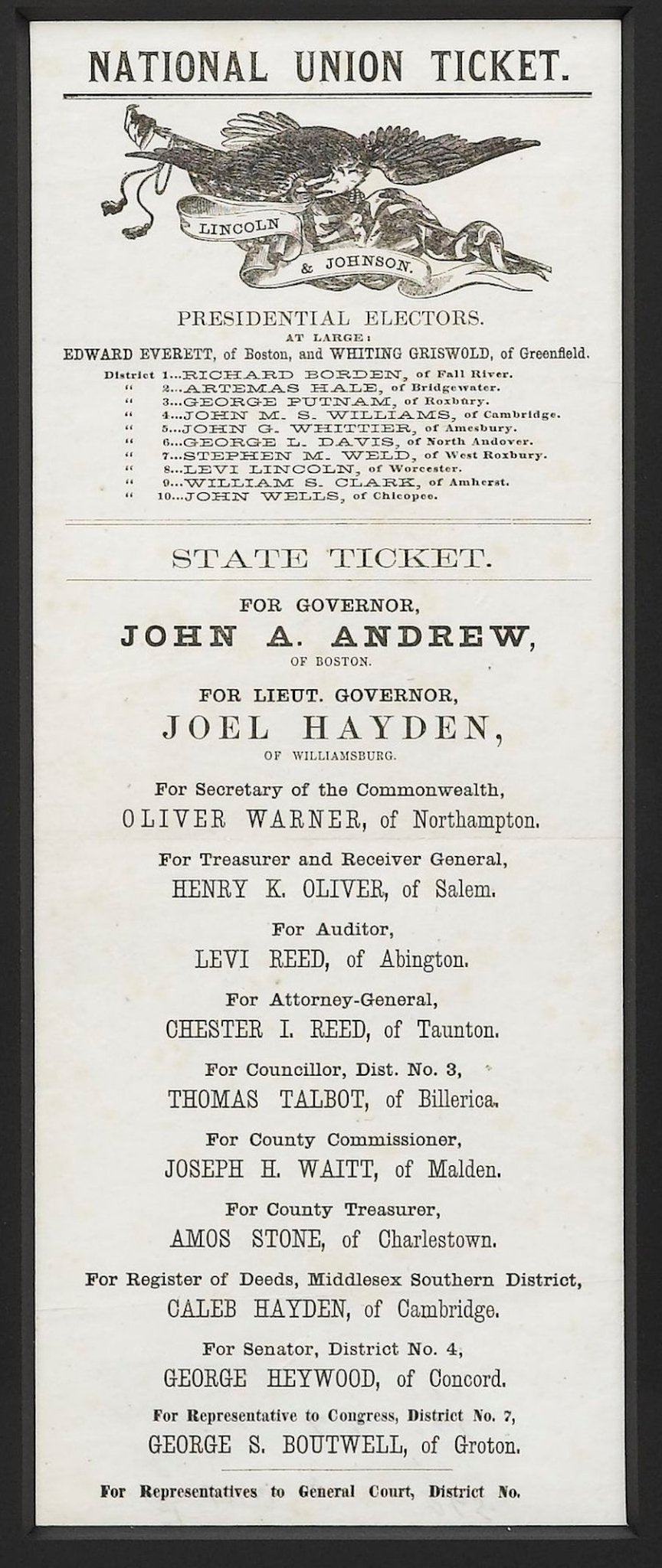
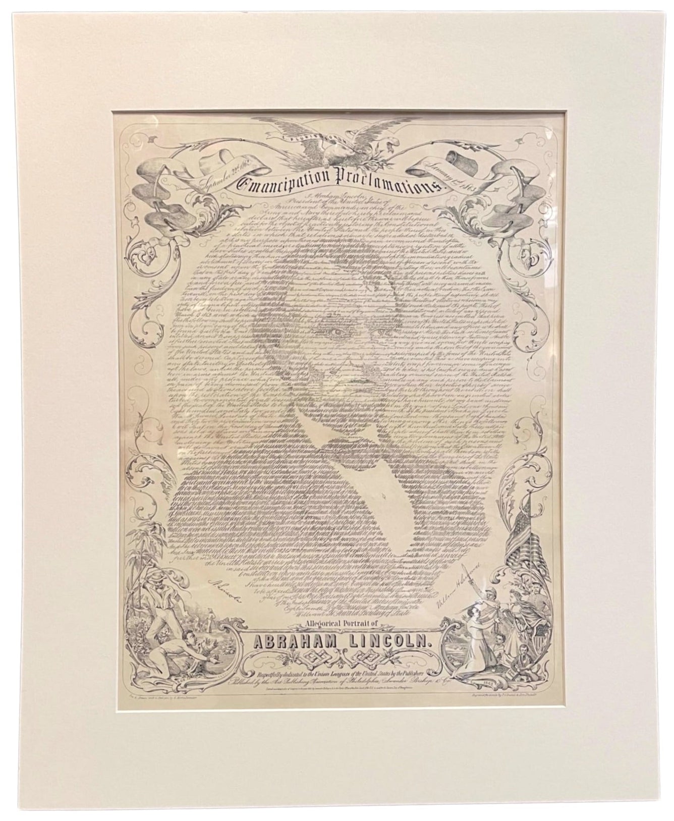
1864 Lincoln & Johnson Boston Union Presidential Ticket
Sale price$2,750.00
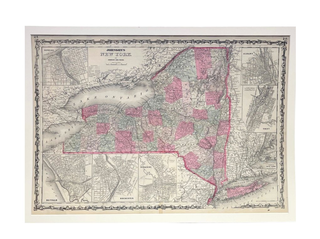
1865 "Johnson's New York" Map by Johnson and Ward
Sale price$650.00
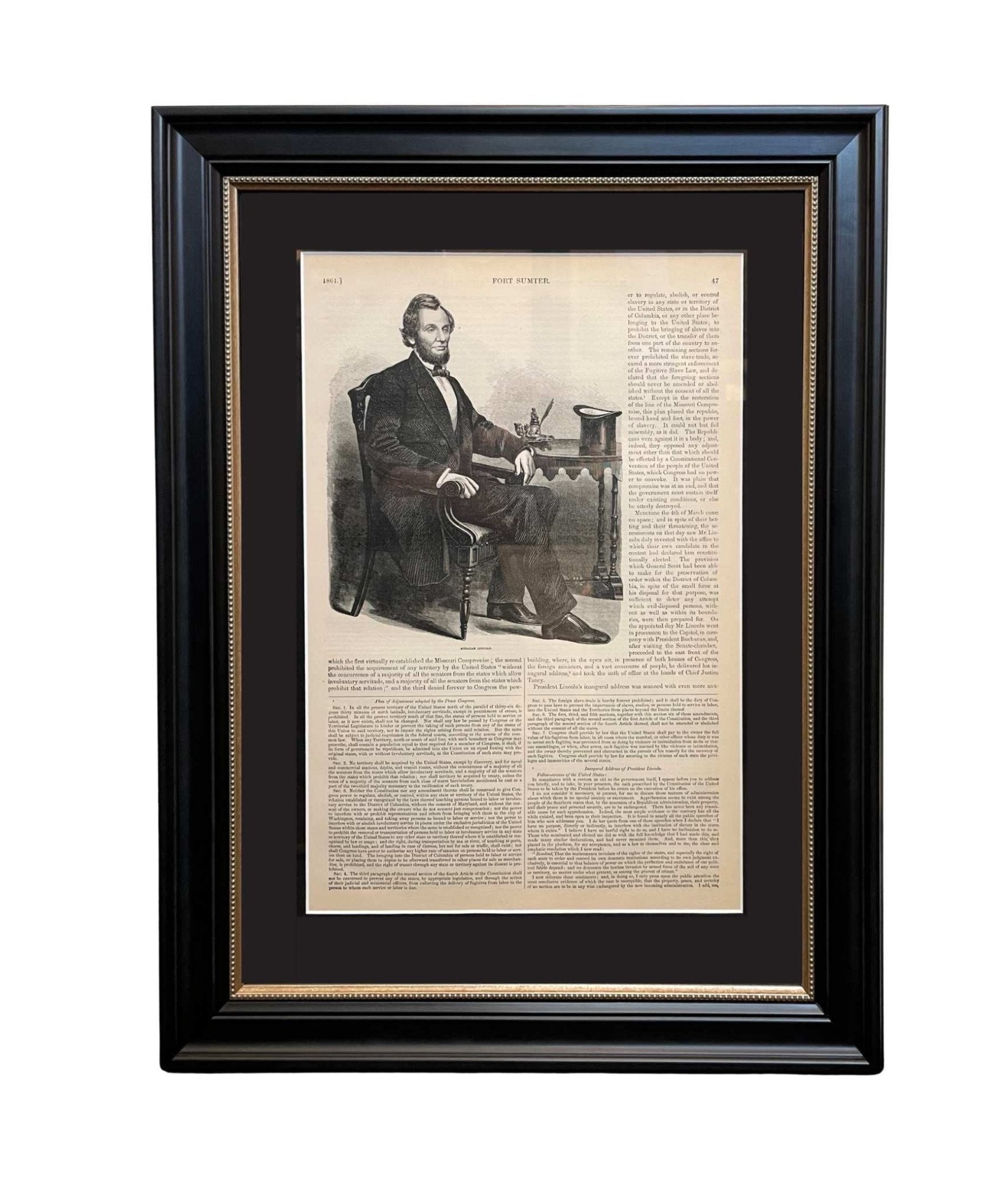
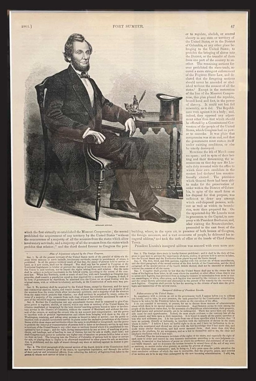
1866 "Abraham Lincoln" Seated Portrait, Published by McDonnell Bros.
Sale price$950.00


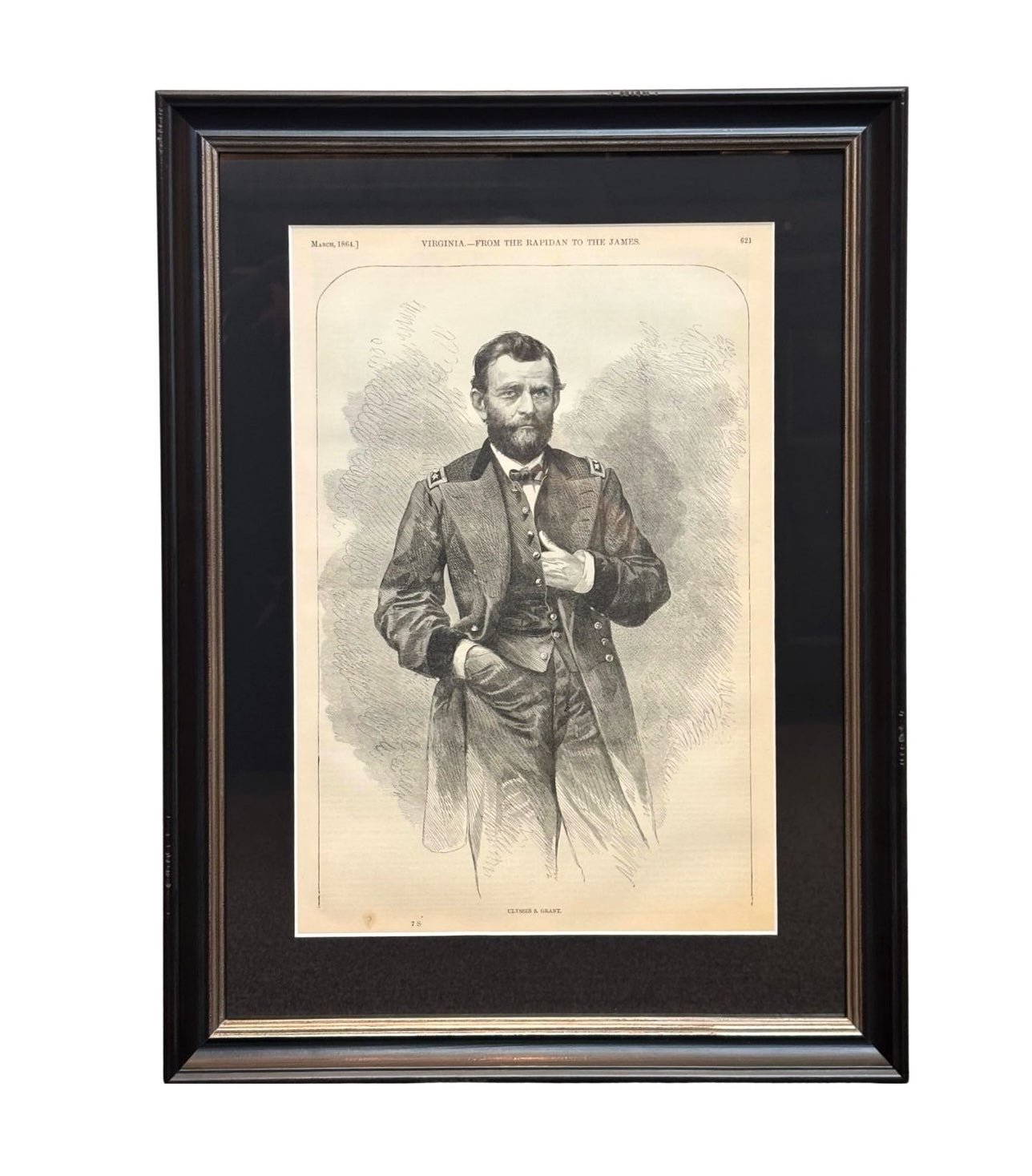
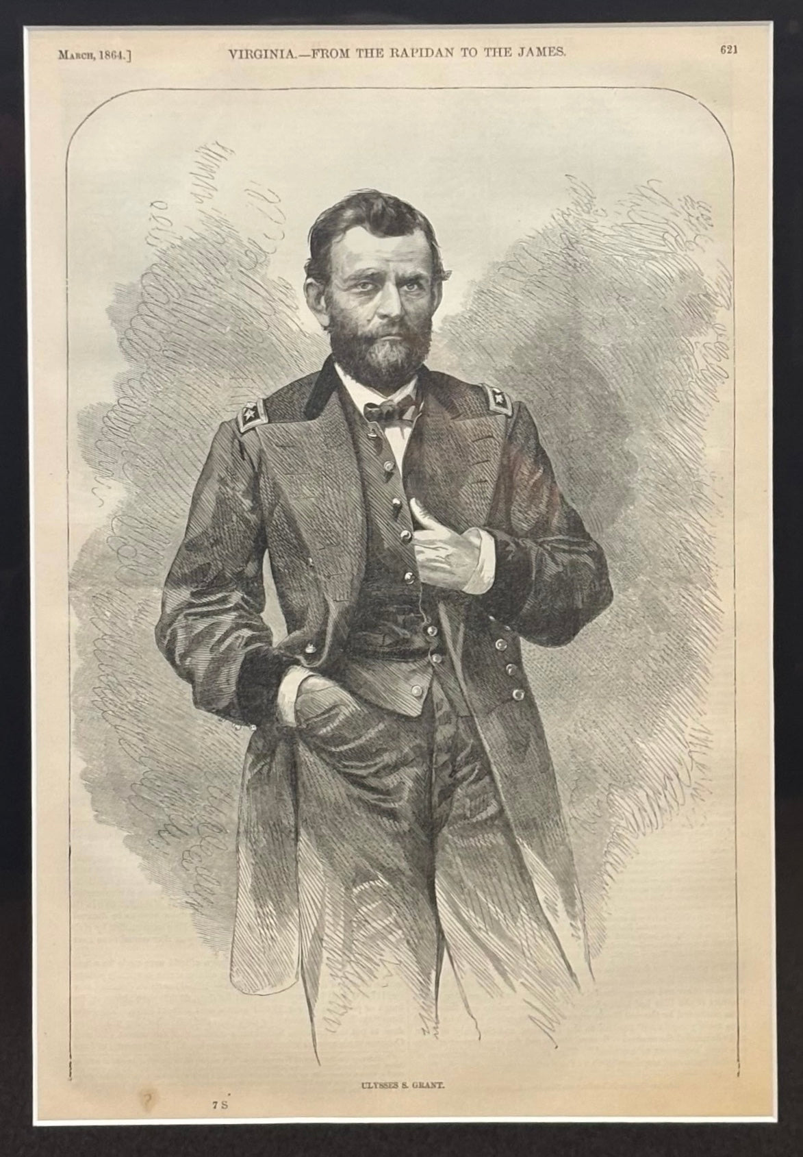
1868 "Ulysses S. Grant" Wood Engraving, Published by McDonnell Bros.
Sale price$950.00


1870 "Johnson's Europe" Map Published by A. J. Johnson
Sale price$1,250.00
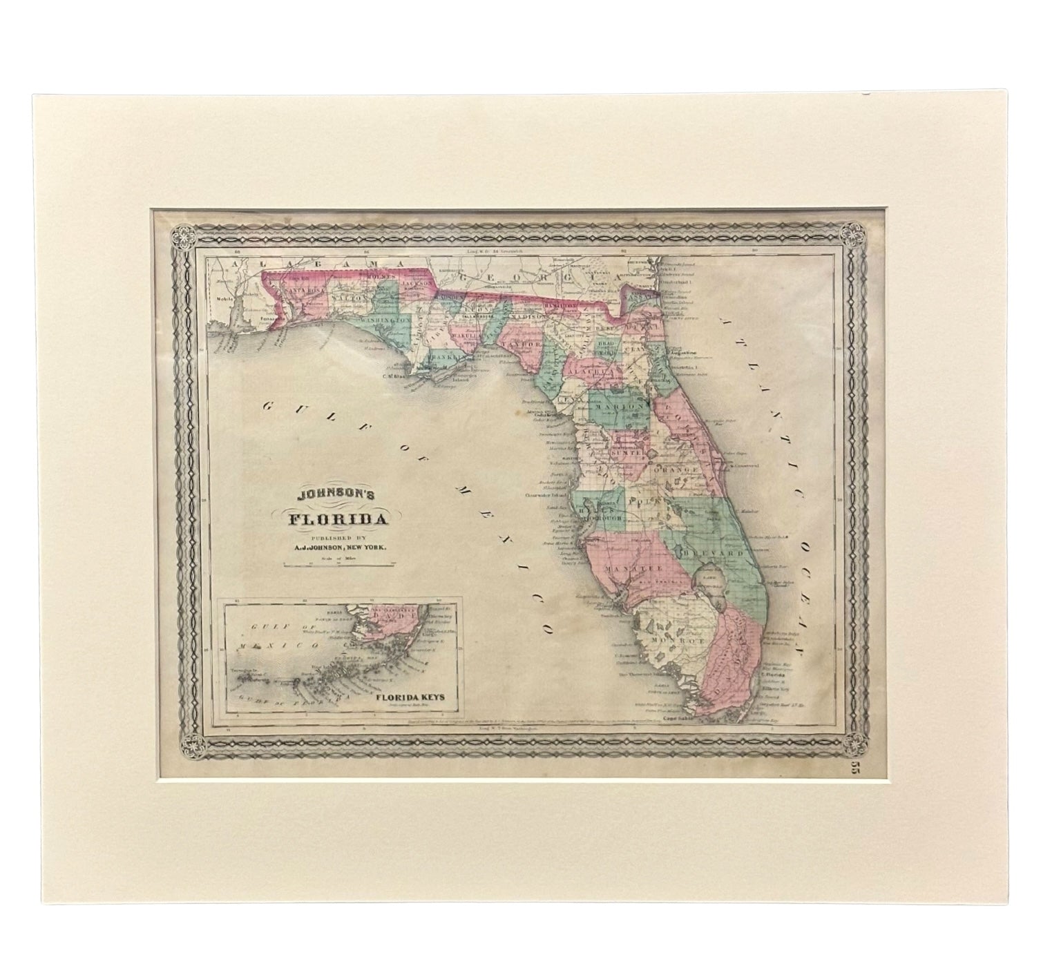

1870 "Johnson's Florida" Map Published by A. J. Johnson
Sale price$750.00
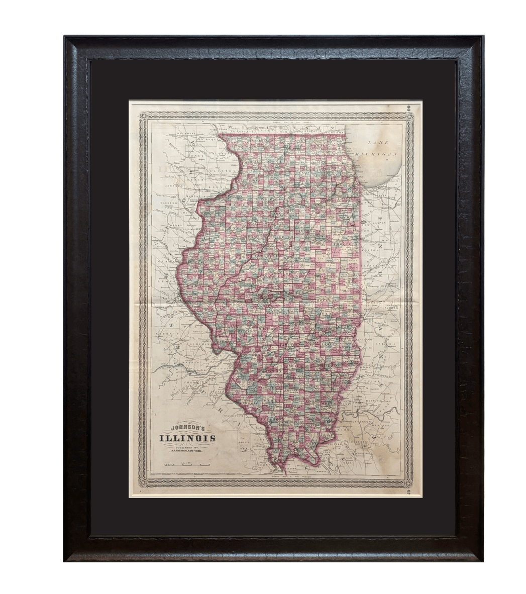

1870 "Johnson's Illinois" Map Published by A. J. Johnson
Sale price$1,500.00
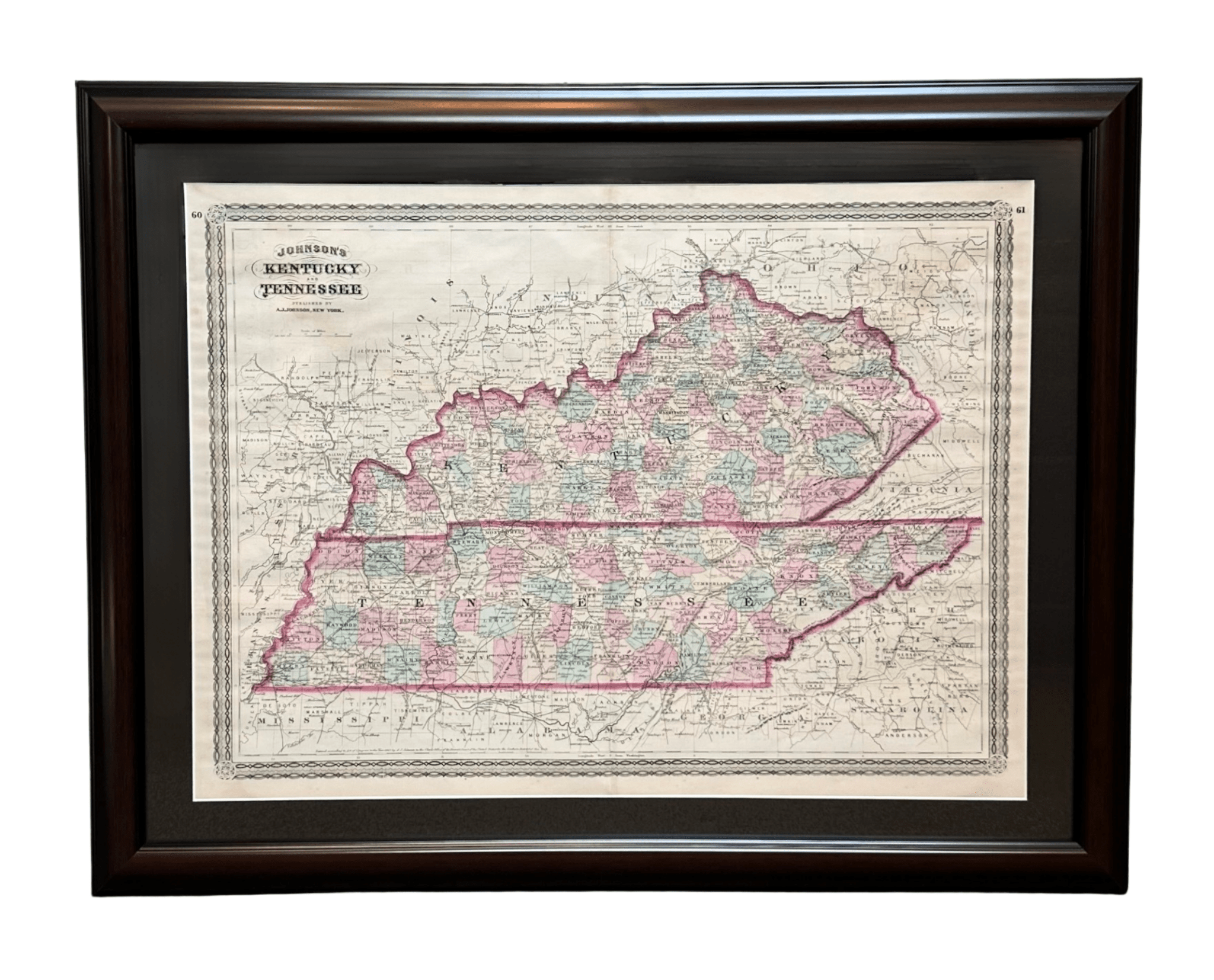
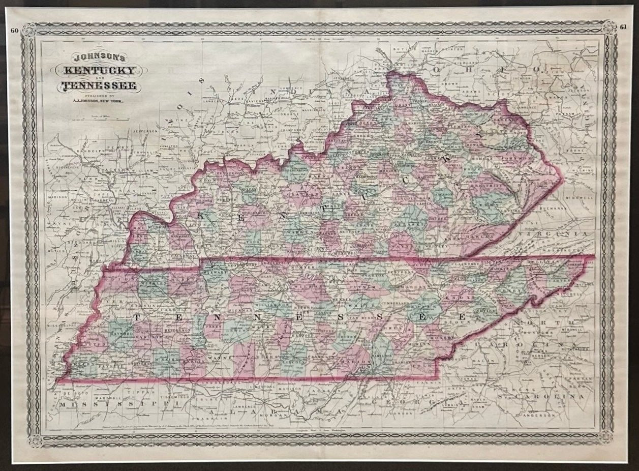
1870 "Johnson's Kentucky and Tennessee" Published by A. J. Johnson
Sale price$995.00

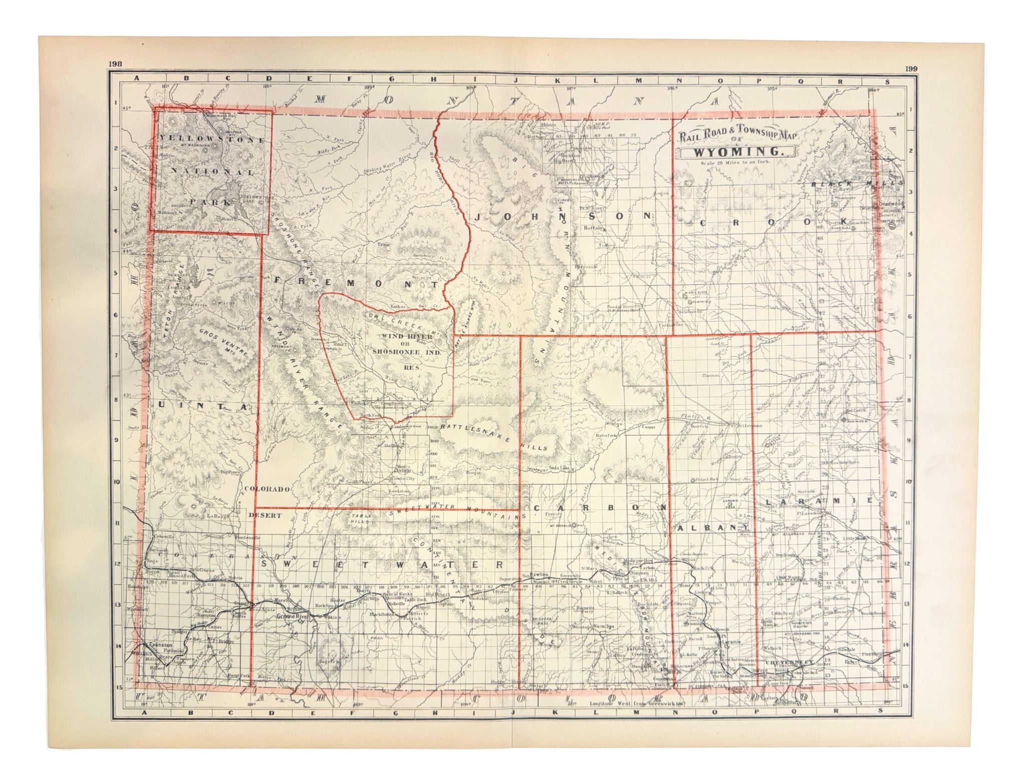
1885 "Rail Road and Township Map of Wyoming" by George Cram
Sale price$900.00
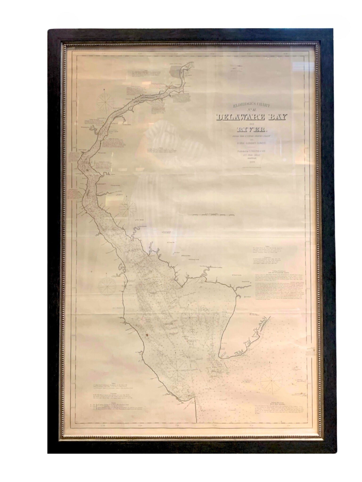
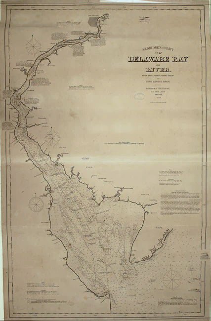
1889 Sea Chart Map of Delaware Bay by George Eldridge, Chart No. 11
Sale price$5,000.00
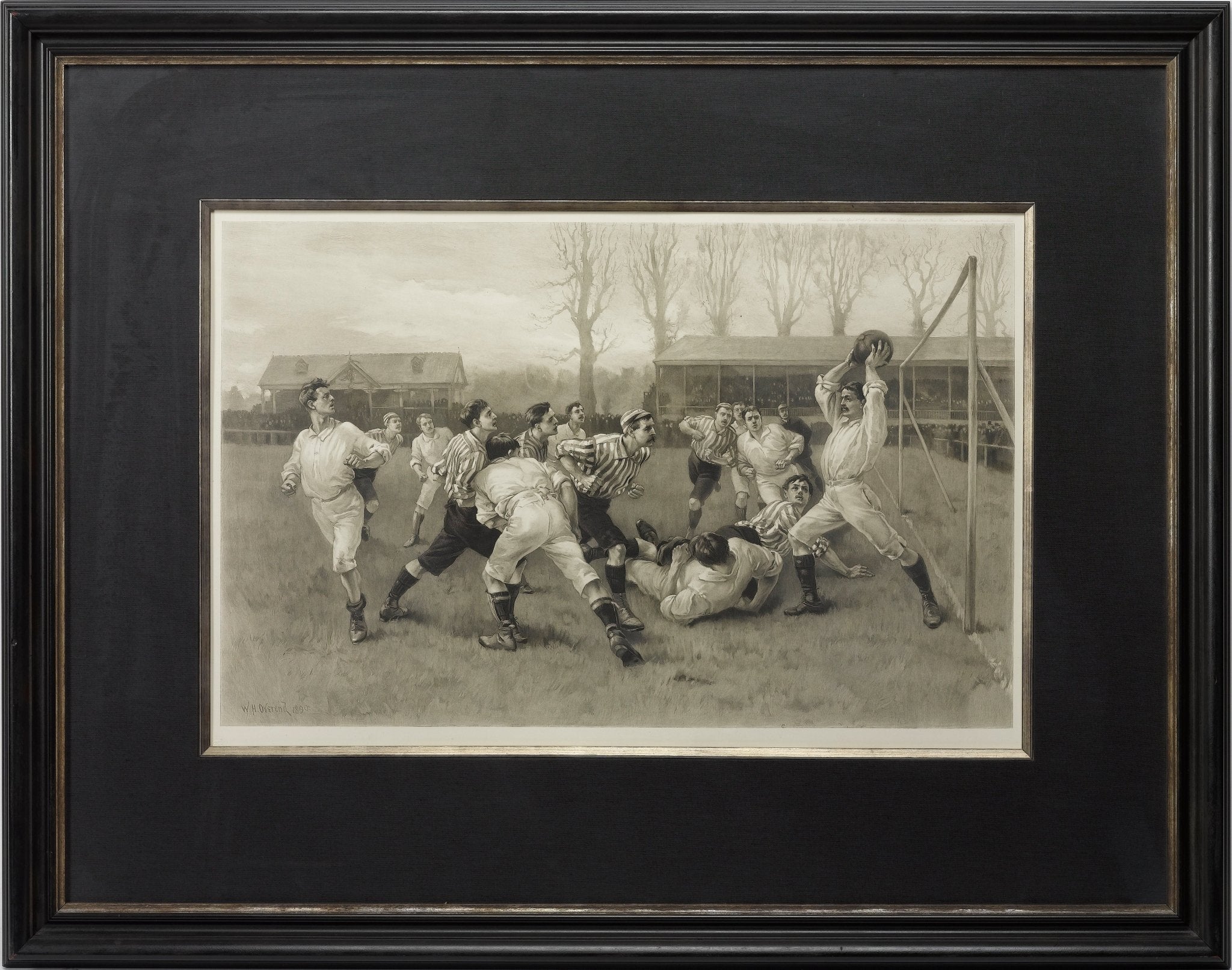
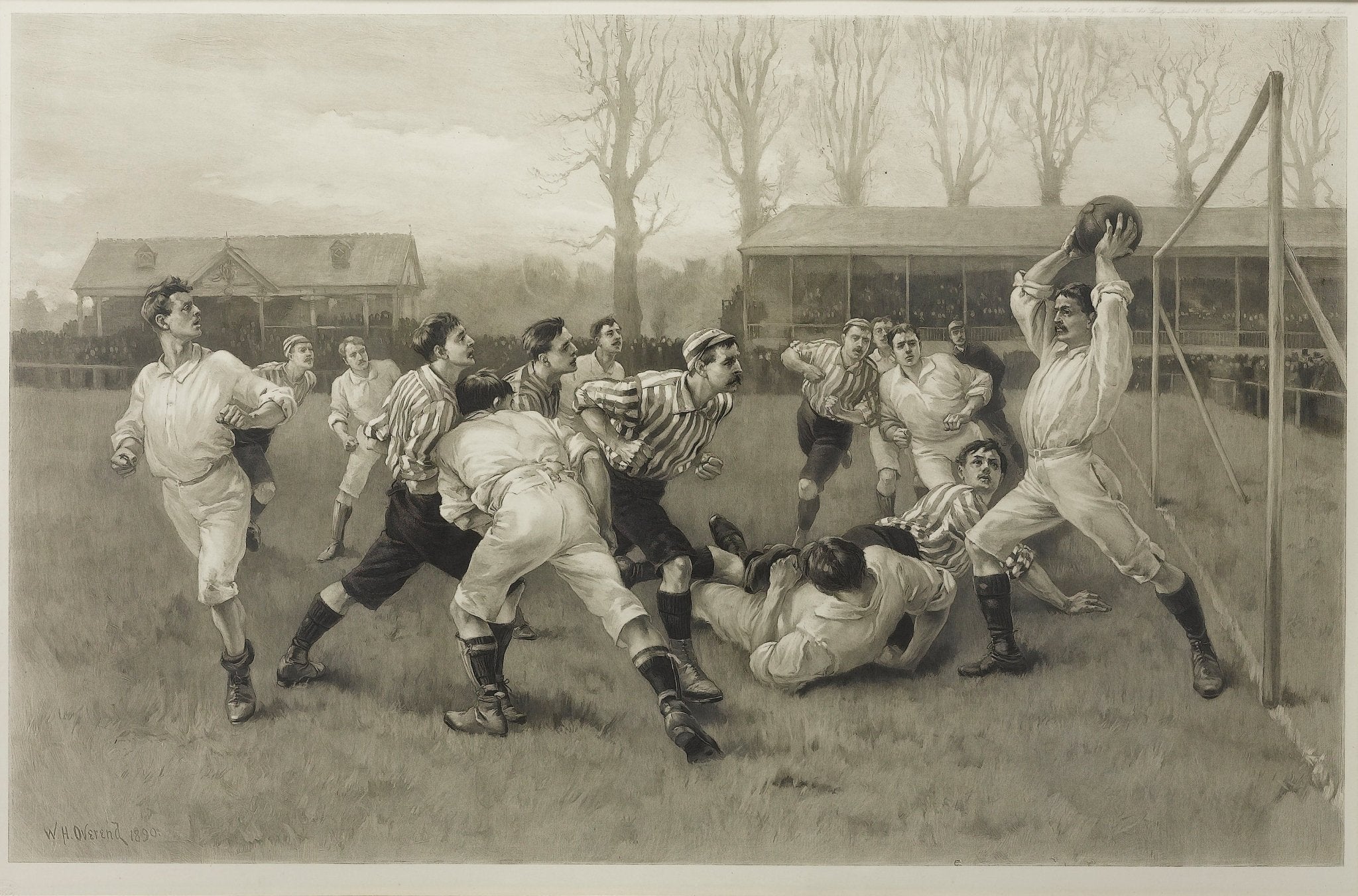
1891 "Football Match and Association Game" Photogravure, after W.H. Overend
Sale price$3,950.00
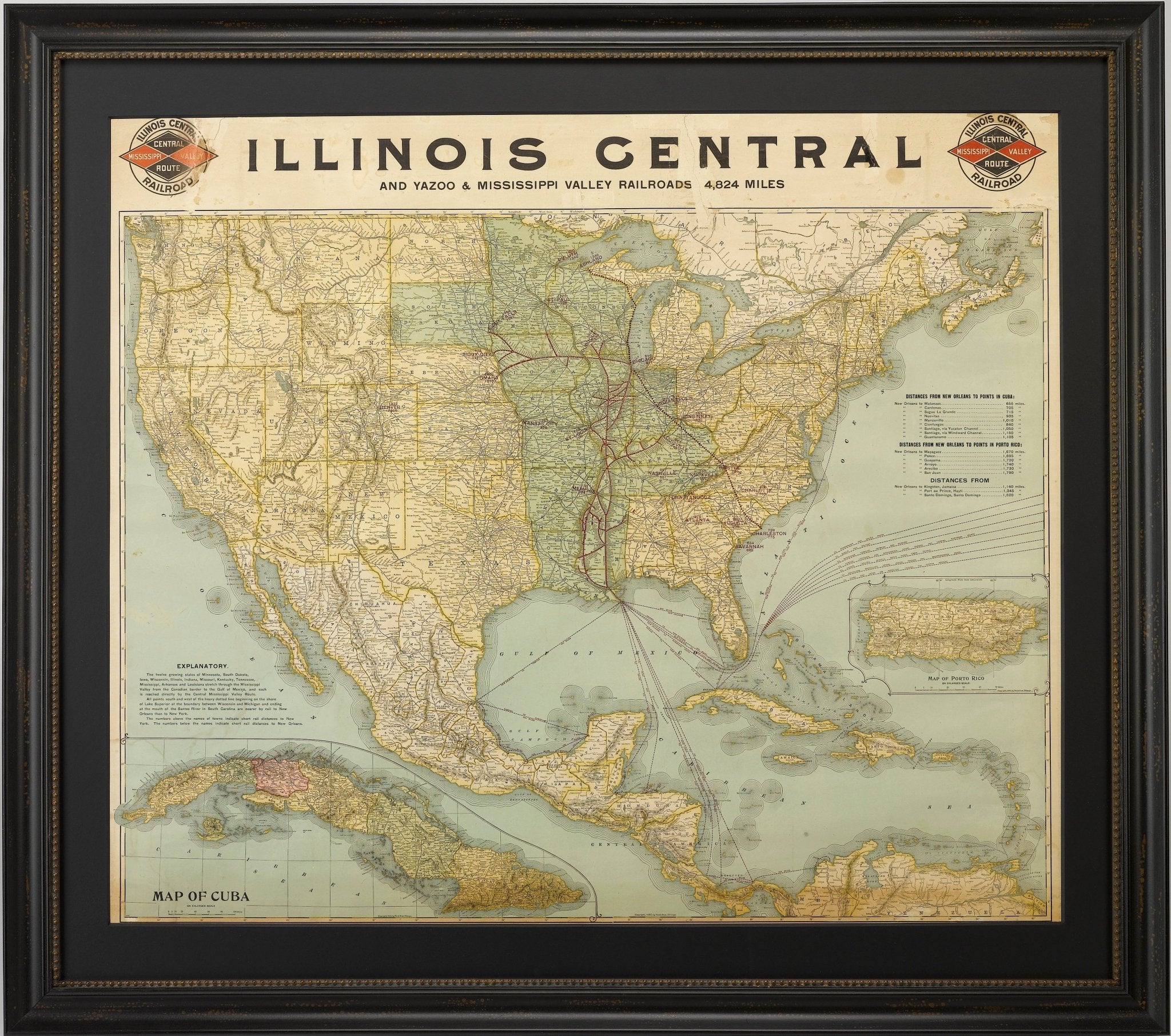
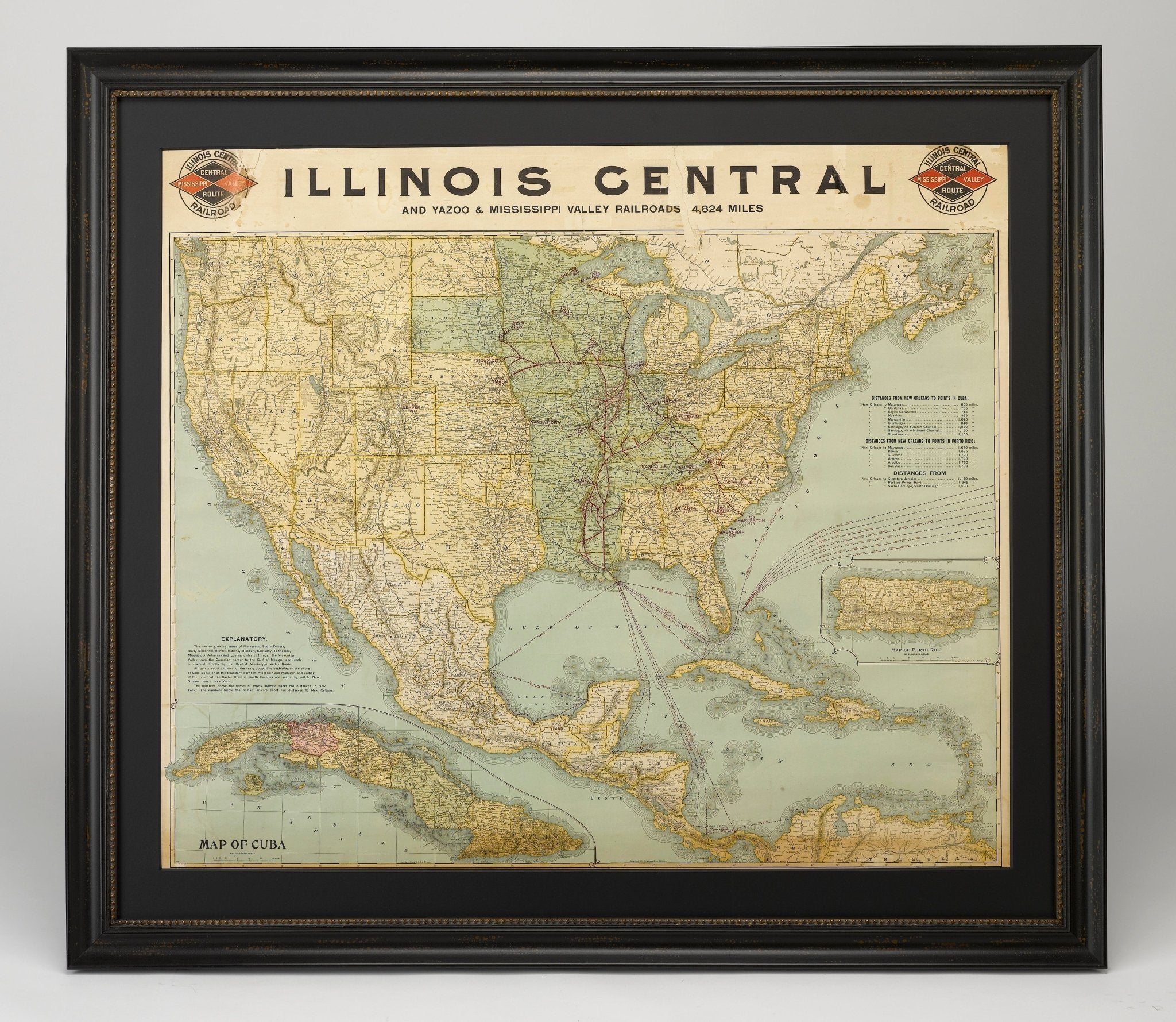
1899 Poole Brothers Railroad Map of the Illinois Central Railroad
Sale price$7,950.00