
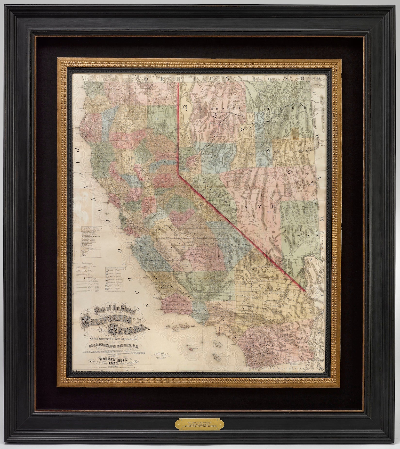
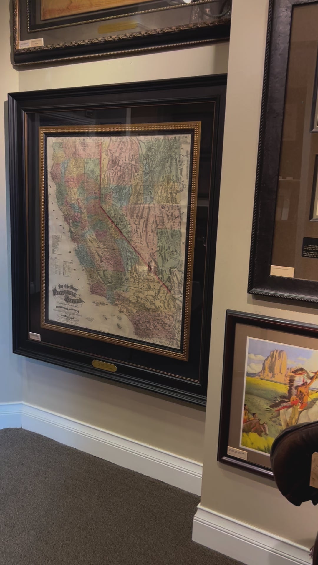
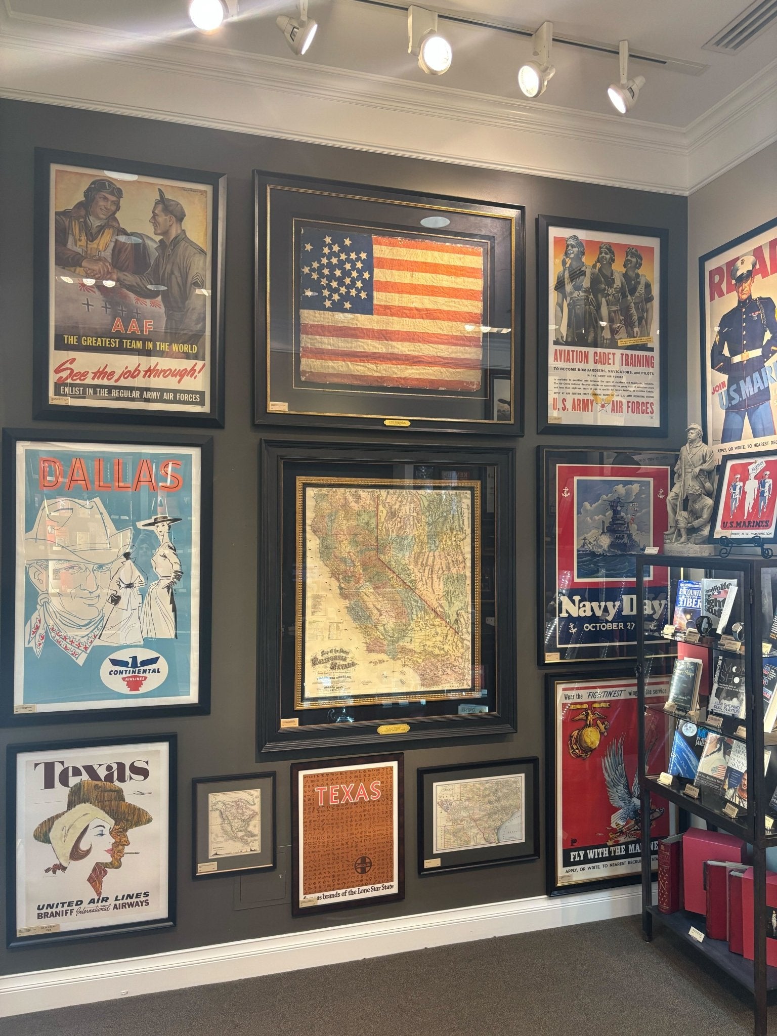
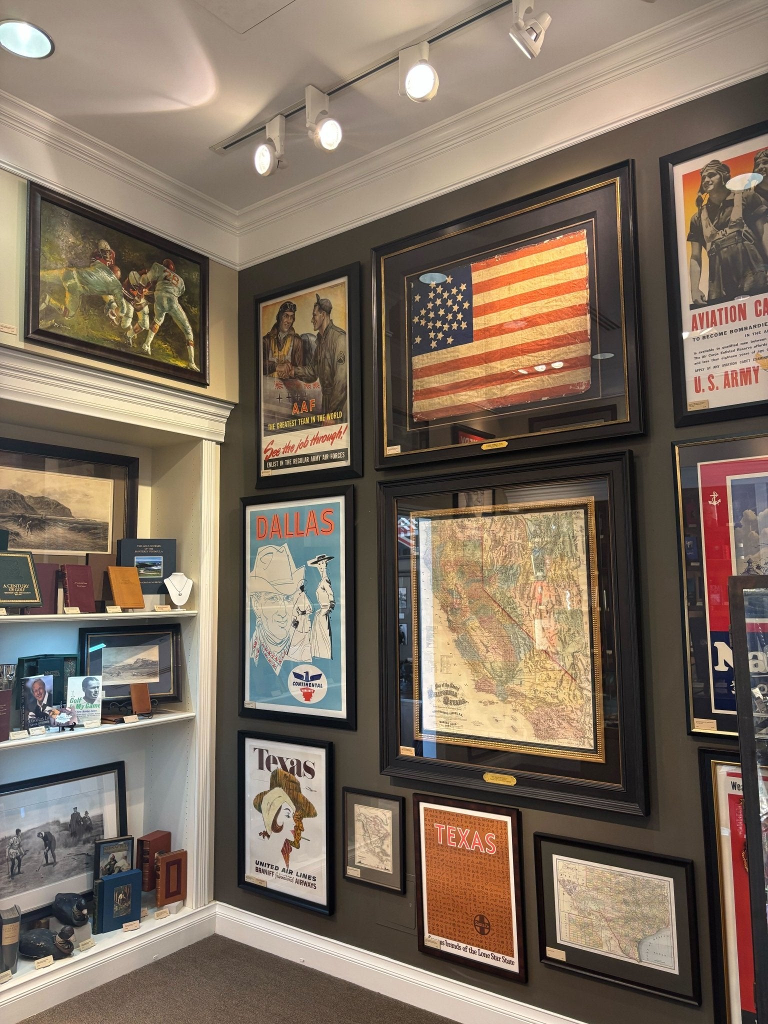
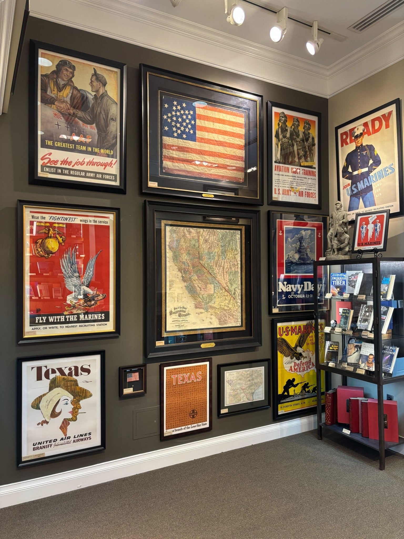
1873 "Map of the States of California and Nevada. Carefully Compiled from the Latest Authentic Sources" by Chas. Drayton Gibbes
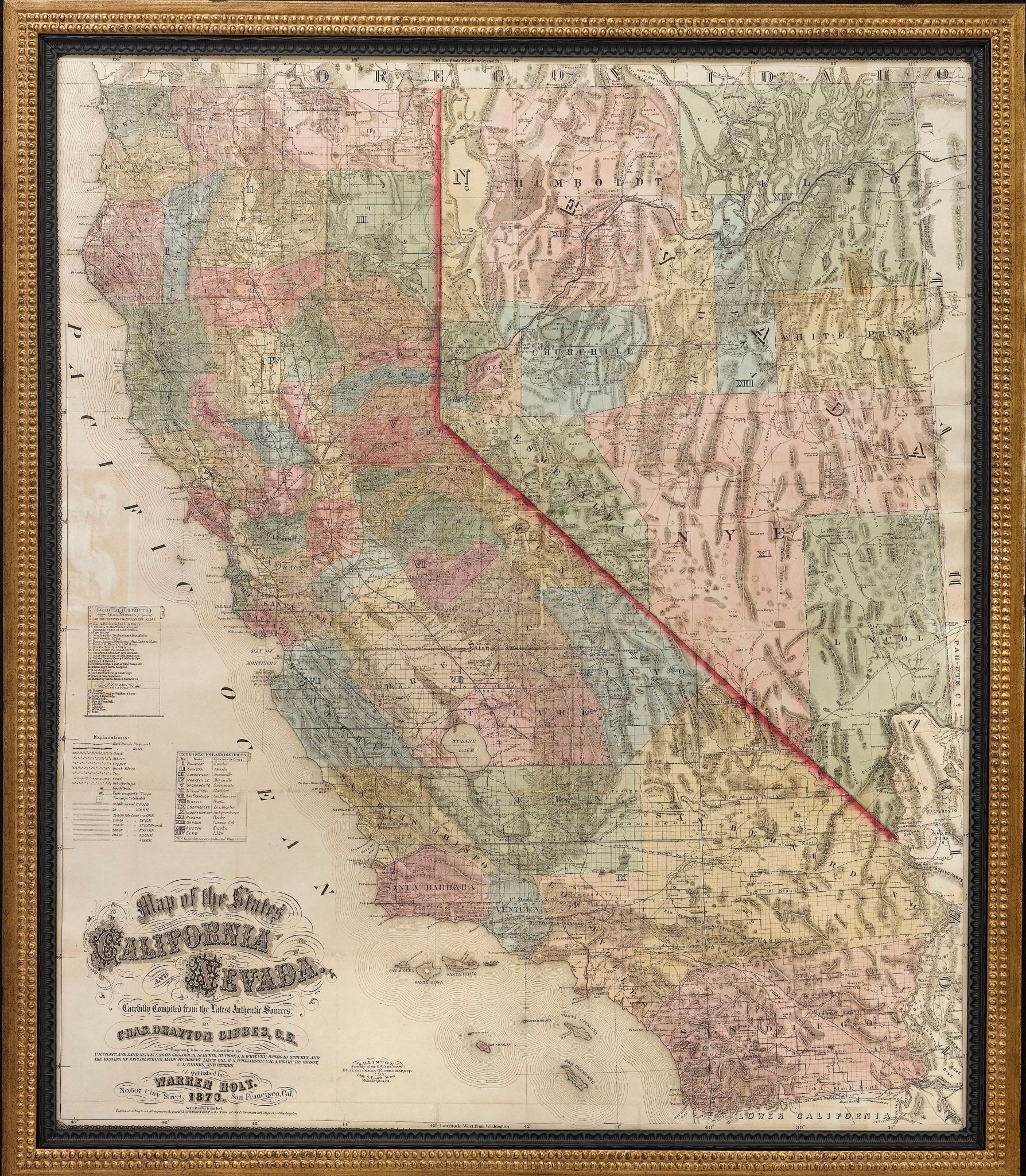
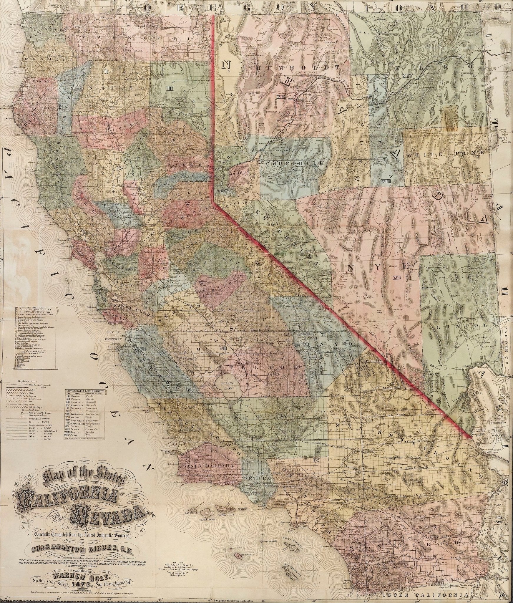
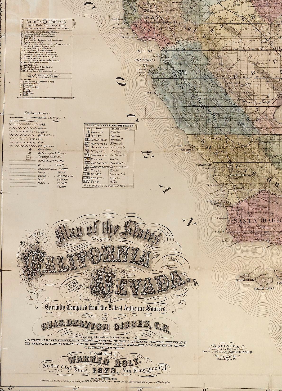
Presented is Warren Holt and Charles Drayton Gibbes' 1873 “Map of California and Nevada.” This map is considered to be one of the finest large-scale maps of California to appear in the second half of the 19th century. Depicting all of California and Nevada, the map offers exceptional detail throughout. To the left, a key identifies 14 federal land districts, 20 California judicial districts, and 9 Nevada counties.
The region’s complex topography is indicated by hachuring, and roads, trails, and rail lines are identified. Included is the route of the Central Pacific Railroad, construction of which began in 1863. There is an abundance of information about towns, settlements, ranches, and mineral resources, and dozens of mining districts are delineated and named.
This map is one of the best and most detailed maps of the region, praised for its detail, accuracy, and compilation of the most recent information, as discovered by explorations of Henry de Groot, Williamson, land and railroad surveys, and border changes issued by the General Land Office administration. Charles Gibbes first issued his large format map of California and Nevada in 1869. He then updated and published the map in a smaller size in 1873, presented here in its rare second state. A third edition was published in 1878.
CONDITION:
Very good. Map trimmed to the neat line, apparently by the publisher. Professionally flattened and backed on linen. Repaired slight loss along some of the original fold lines.
Map has been framed in a custom-built archival black and gold wooden frame with acid-free mats, golden spandrel, UV Plexiglas, and a custom plaque.
Framed Dimensions: 52 1/2" H x 47" W x 3" D.
Accompanied by our company's letter of authenticity.
Pickup available at Colorado
Usually ready in 4 hours
1873 "Map of the States of California and Nevada. Carefully Compiled from the Latest Authentic Sources" by Chas. Drayton Gibbes
Colorado
1 Lake Avenue
Colorado Springs CO 80906
United States
Choose options
Frequently Asked Questions
FAQs
Yes, all of our Antiques are certified authentic. Every antique comes with a signed Letter of Authenticity that details the item’s history, its current condition including any conservation, binding, or framing work, and the item’s provenance. The Letters of Authenticity are priced valuations by our authentication specialists, who assure that items are original and unconditionally guaranteed as genuine for life.
We pack and ship your items from our gallery in Colorado Springs. You may also choose to come pick up your order. Antique items are carefully packed and insured during shipping. The shipping price will be calculated at checkout.
We acquire from a variety of trusted sources all over the world, but mostly through auctions and private collections within the United States. All provenance information will be listed on the Letter of
Authenticity accompanying your purchase.