
Blog
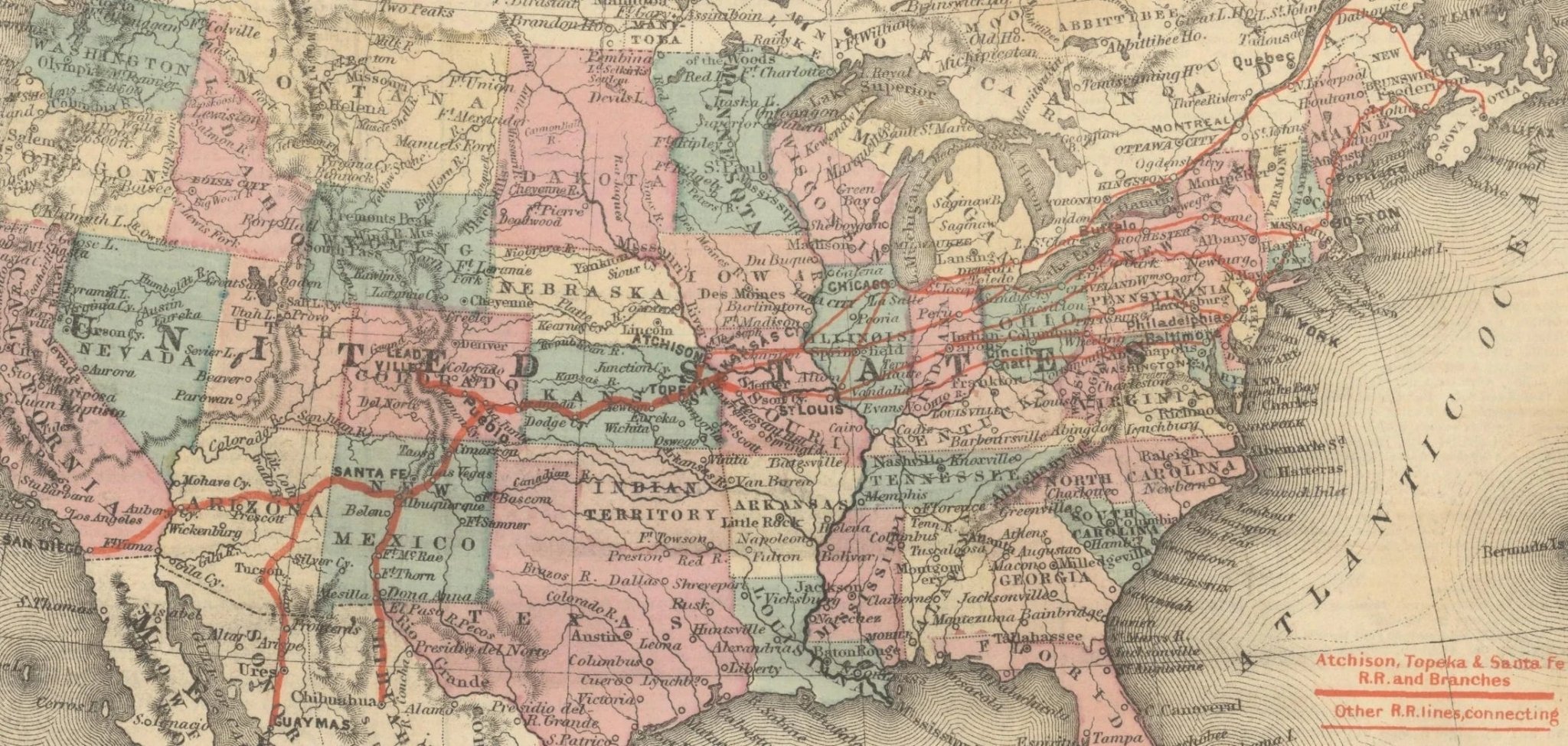
Fascinating Railway Maps of the 19th Century
In the mid-1800s, railroads were transforming the landscape of North America, revolutionizing transportation, industry, and shifting populations seemingly overnight. Maps from this era reflect this...
Read more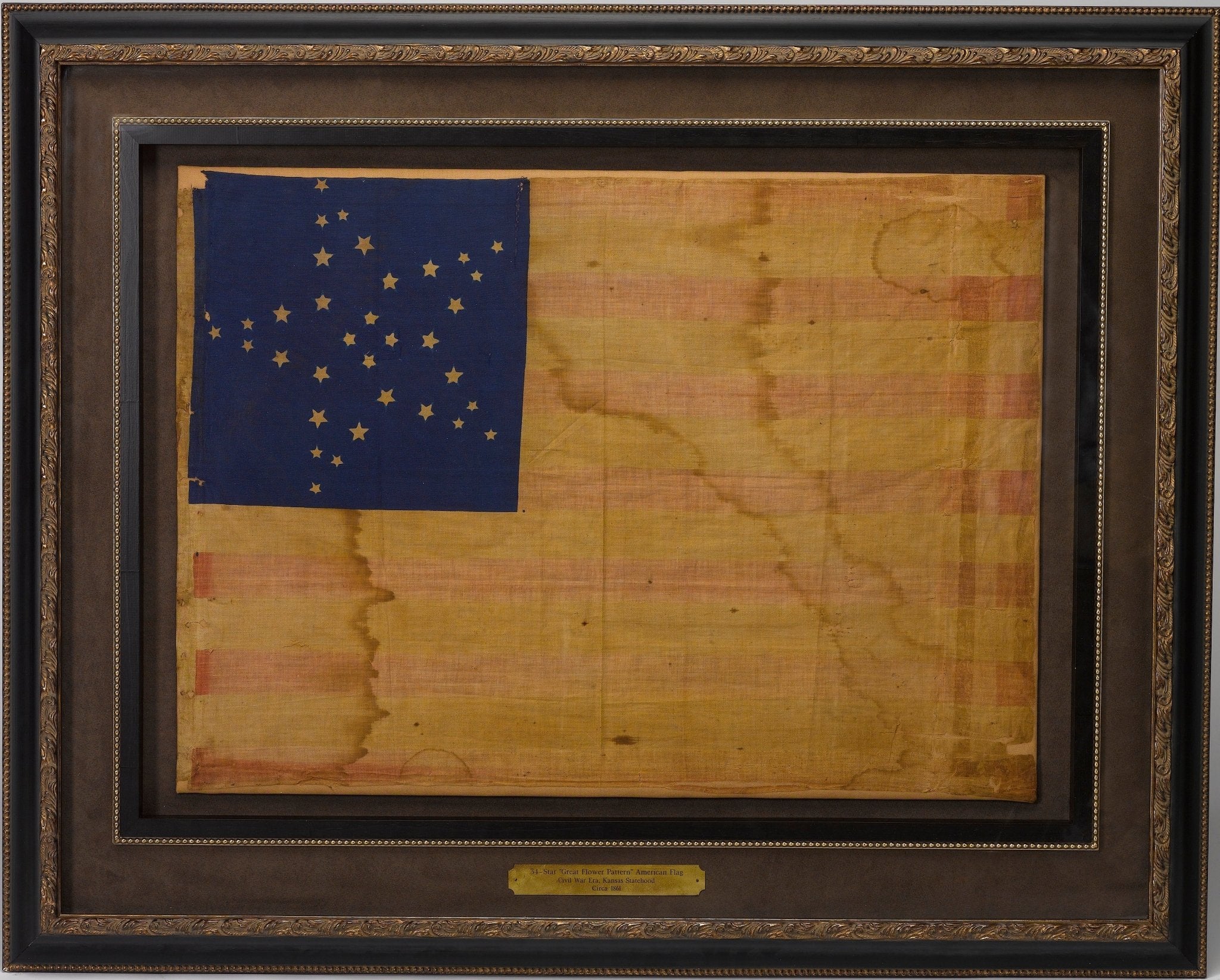
Bleeding Kansas: The Eve of the Civil War
Bleeding Kansas was a time of intense violence over slave and non-slave states in the mid 19th century. Read more about this period- what is known as the precursor to the Civil War.
Read more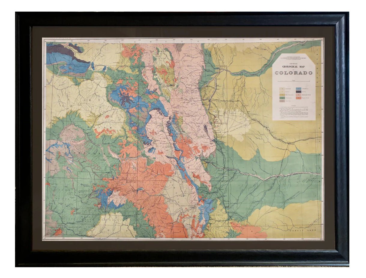
1877 "General Geological Map of Colorado"
New to our shop is this 1877 "General Geological Map of Colorado" by F.V. Hayden, and lithographed by Julius Bien. Read more about this interesting map.
Read more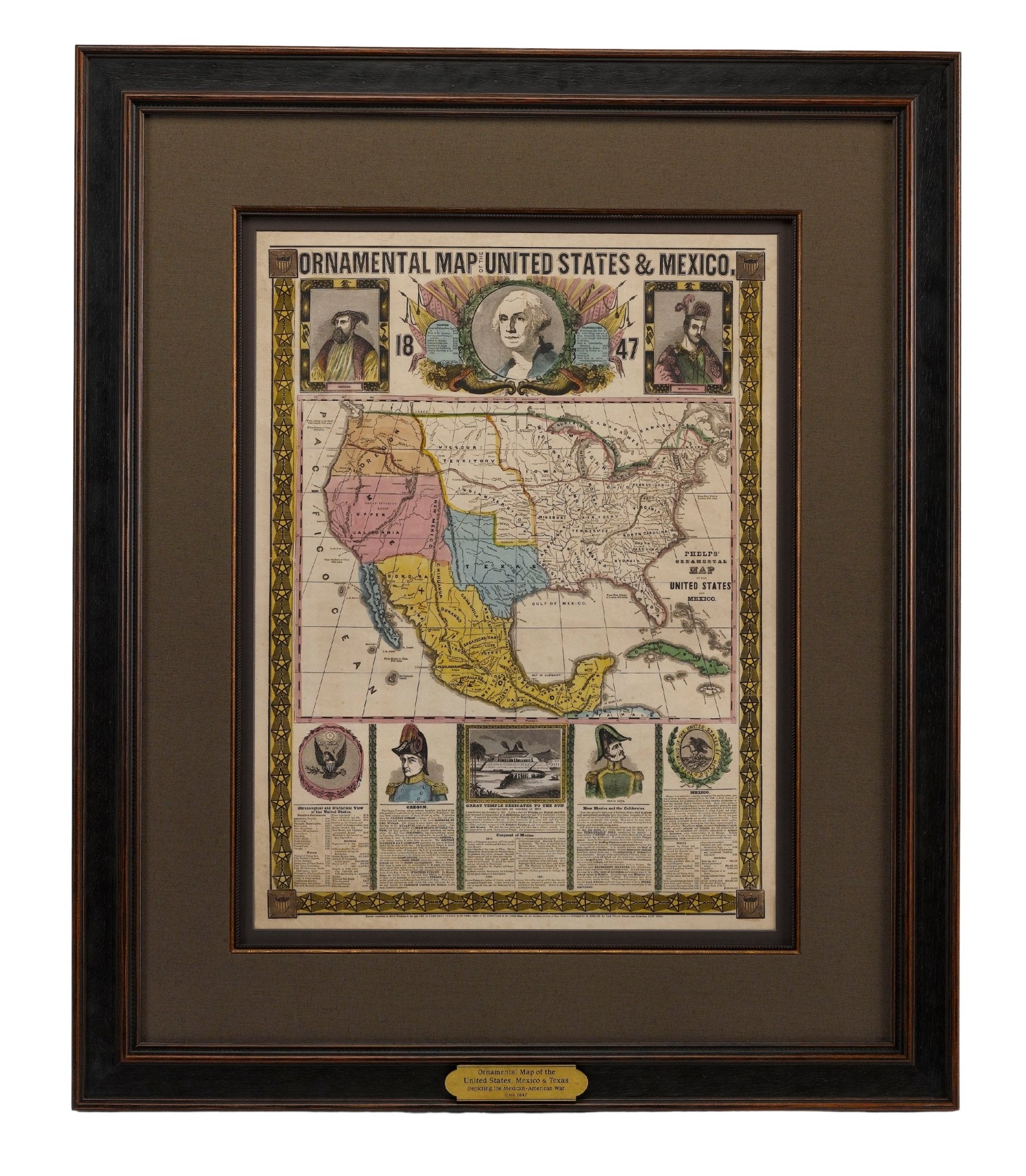
Reaching West: Mapping Manifest Destiny
Manifest Destiny was an ideal rooted in religion, exploration and nationalism. It pushed Americans to travel west in order to obtain cultural and political influence over western territories. Read ...
Read more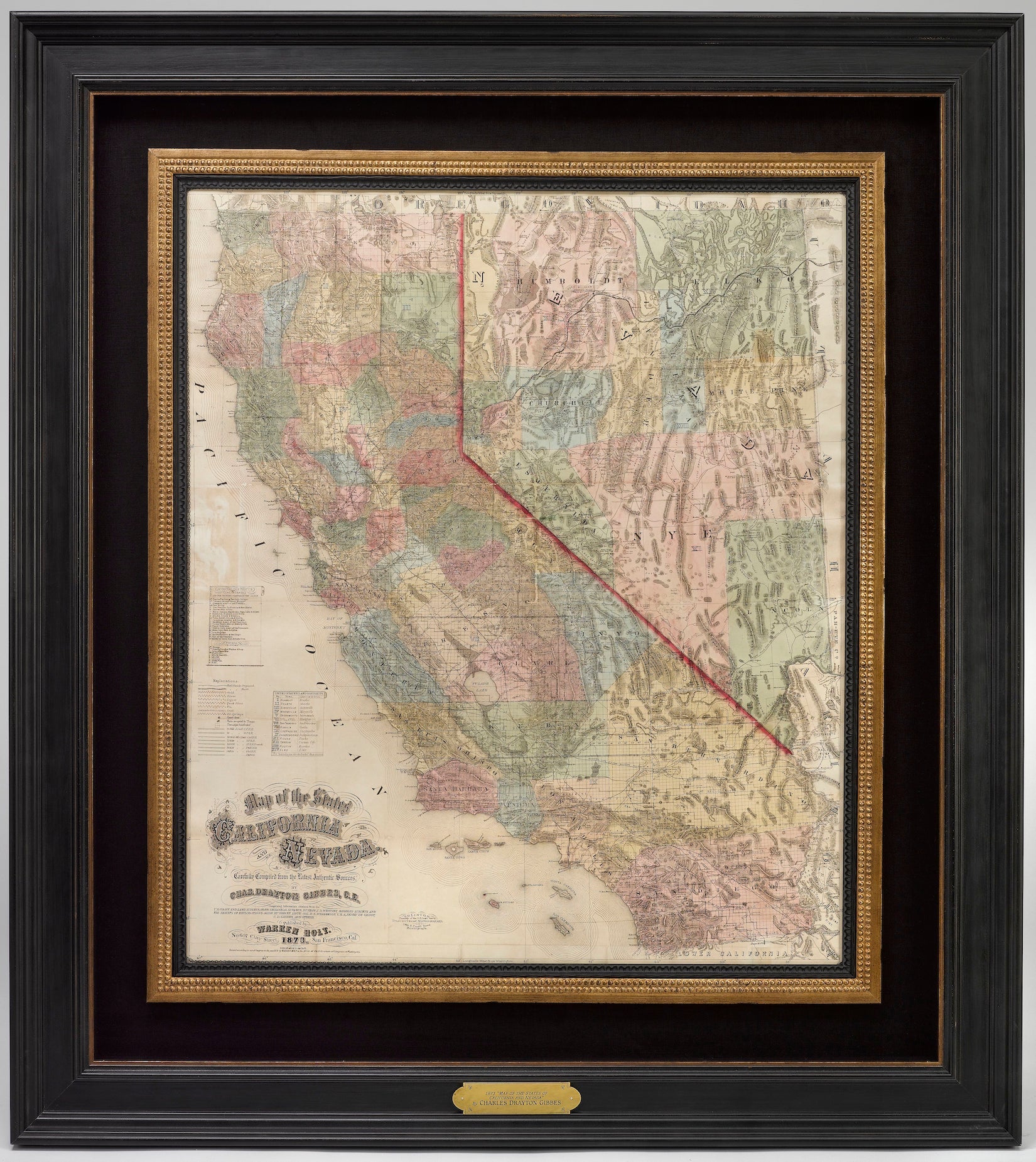
California has a very interesting mapping history. During and after the Mexican-American War, efforts to map California increased. Once gold was discovered in 1848, cartographers, geographers, and ...
Read more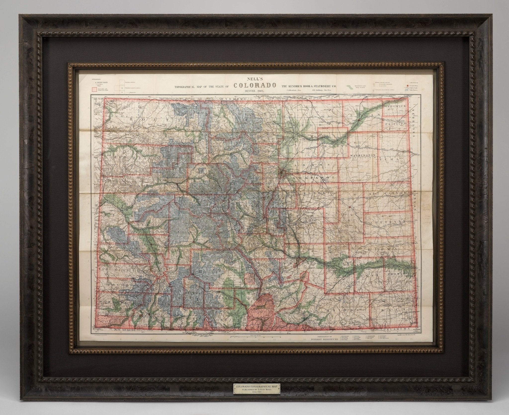
Mapping Colorado with Louis Nell
From 1880 to 1907, Louis Nell published a series of maps of the state of Colorado and formed one of the most continuous cartographic records available for the period immediately following Colorado ...
Read more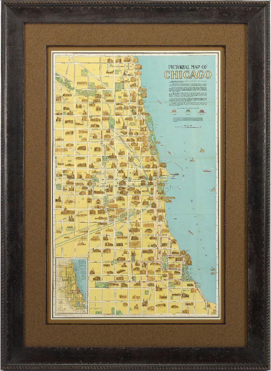
Pictorial Maps: Drawing in a New Wave of Map Collectors
Recent auction trends have shown an increased demand for American pictorial maps from the 1920-50s. Once considered mass-produced ephemera and overlooked by serious map collectors, these maps are n...
Read more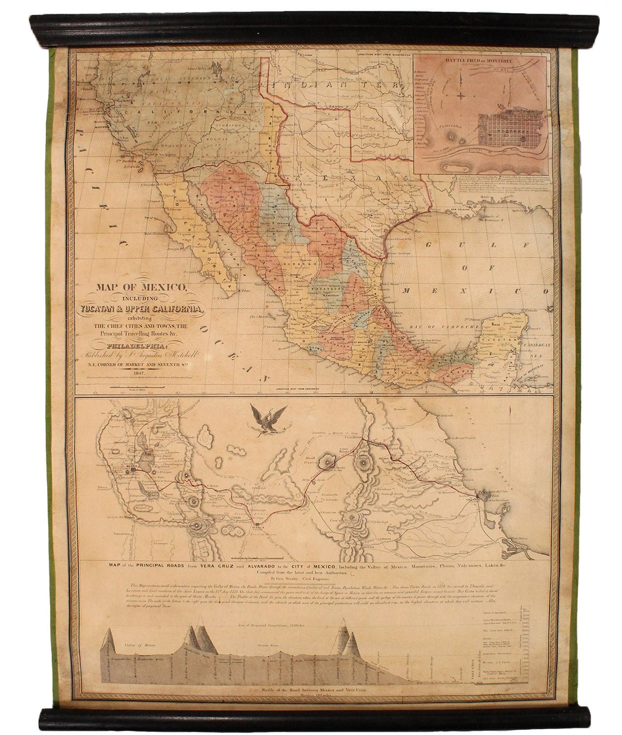
Mitchell's 1847 Wartime "Map of Mexico"
This is the second edition of Samuel Augustus Mitchell's “Map of Mexico, Including Yucatan & Upper California, Exhibiting the Chief Cities and Towns, the Principal Travelling Routes,” published...
Read more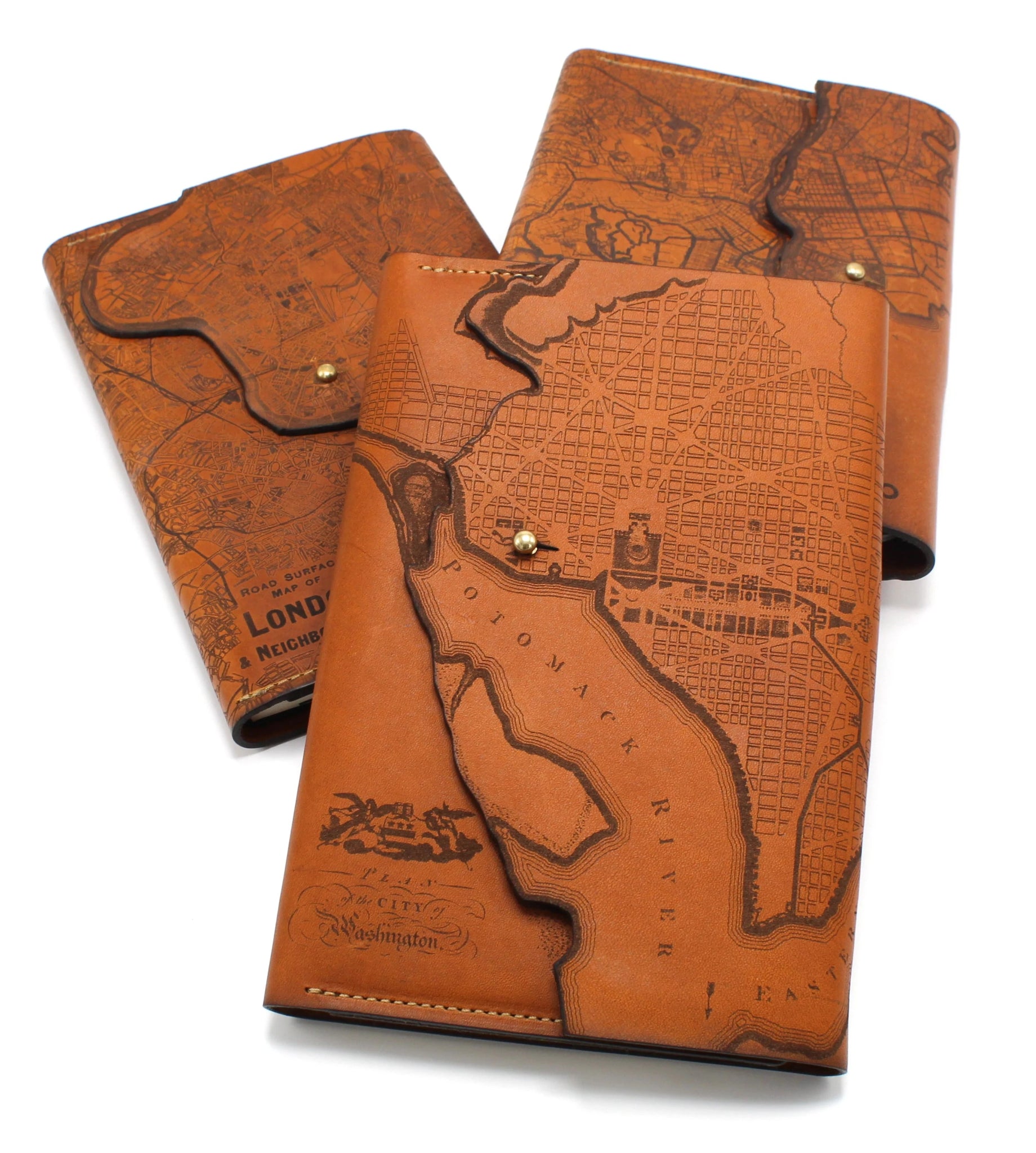
Shopping a Community of Makers: Tactile Craftworks
We at The Great Republic take pride in celebrating American craftsmanship and supporting the community of American makers, designers, artists, and creators represented in our shop. Tactile Craftwor...
Read more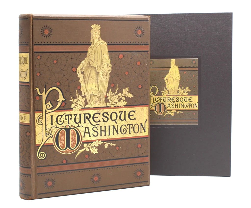
Joseph West Moore's "Picturesque Washington": A Snapshot of D.C. in the 1880s
With detailed prints and intriguing articles, Picturesque Washington by Joseph West Moore exposed 19th century readers to all parts of their expanding, booming capital city. Moore went beyond just ...
Read more