Fascinating Railway Maps of the 19th Century
In the mid-1800s, railroads were transforming the landscape of North America, revolutionizing transportation, industry, and shifting populations seemingly overnight. Maps from this era reflect this transformation by illustrating the extensive railway systems, including key routes west and the criss-crossing railways one could take to travel between cities and new rail hubs. Equally informative and boastful, these maps were often a product of mapmakers and railways working hand-in-hand to entice travellers, encourage settlement along the routes, and produce and sell the most up-to-date information possible. I’ve selected and shared four of my favorite railroad maps from our antique map collection below:
 This is an 1866 issue of “Ensign & Bridgeman’s Rail Road Map of the United States, showing Depots & Stations.” As alluded to in its title, the map highlights existing railroads and railroad depots, as well as proposed lines. Starting on the eastern coast, the map extends to the western borders of Minnesota, Iowa, Missouri, Arkansas, and Louisiana. The map captures the burgeoning American railway infrastructure and documents the industrial ambition of this era. Many names of railroads appear along the cross-hatched lines, while others are numbered to a key list of lines at the bottom right. The inset map focuses on the railways and depots throughout New England, where early American rail travel first flourished.
A small notice at bottom right states that the publishers were going to print small editions at a time so that reliable railroad information could be added or updated. Ensign & Bridgeman continue on to state that “They will feel under obligations to Contractors, Superintendents, & others, who will forward to their address reliable information respecting Proposed or Completed railroads.”
Another iconic railway map is “Lloyd's Topographical Railway Map of North-America, or the United States Continent in 1900.” Published in 1868, J.T. Lloyd created this map as both a topographical railroad map and a prophetic look into the future, an idealized hope for what America would look like in the year 1900. The map was first issued in 1866, just one year after the conclusion of the Civil War. Hopeful signs of growth and reconciliations thus dominate the map, with both northern and southern ports and towns all connected to each other and the world via flourishing railways, steamships, and communication routes.
Highlights of Lloyd's 20th century vision include a transcontinental railroad, two international telegraph lines, and robust fleets of clipper ships and steamships leaving from New York and San Francisco on the coasts and from the Delta of the Mississippi in the south.
This small, folding map of the United States from 1879 highlights various railroad routes of the Atchison, Topeka & Santa Fe Railroad in bright red. The route extends from east coast ports like Halifax, Boston, New York and Philadelphia to St. Louis, Chicago, and Atchison, Lead Valley and Pueblo in Colorado, continues into the Southwest with Santa Fe and San Diego, and ends in the Mexican cities of Guaymas and Chihuahua. Created for German communities in Europe, the verso of the map features three panels of German text titled "Amerika," marketing opportunity and settlement in the rich agricultural lands of southwest Kansas owned by the railroad.
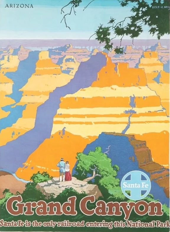
Founded in 1859, the Atchison, Topeka and Santa Fe Railway was created to connect the Kansas frontier town of Atchison with the growing trade routes of the American Southwest. But what began as a regional railroad soon became one of the largest and most influential railroads in the United States, stretching from the Midwest to the Pacific. The Santa Fe Railway forged paths into previously inaccessible regions, bringing infrastructure, American and European settlers, and commerce to the American West. Unlike other railroads that primarily served established cities, the Santa Fe created new towns just by laying track across vast, unsettled land. It gave rise to dozens of communities and helped make states like New Mexico, Arizona, and California more accessible and economically viable.
Lastly, this is an 1899 railroad map of the Illinois Central and Yazoo and Mississippi Valley Railroads, published by the Poole Brothers. The map focuses on the continuous United States from the Atlantic to the Pacific Oceans, the Gulf of Mexico, and the Antilles. Remarkably detailed, the rail routes of the Illinois Central Railroad are marked in red, with each stop labeled. Major stops are overprinted in red, bold letters, with the short rail distances to New York listed above the stop and short rail distances to New Orleans listed below the name. In addition to the Illinois Central network, numerous different rail lines are illustrated and the company running that line is noted along with many stops along each route.
This publisher, The Poole Brothers, was a direct competitor to Rand McNally for the lucrative railroad map business. Like many of its competitors, Poole Brothers maintained an office on Chicago's Printer's Row, located in the downtown Loop district. According to a 1918 issue of The Inland Printer, the firm was seriously engaged in “printing for transportation companies, with a patronage that included practically every railroad in the country."


