Blog
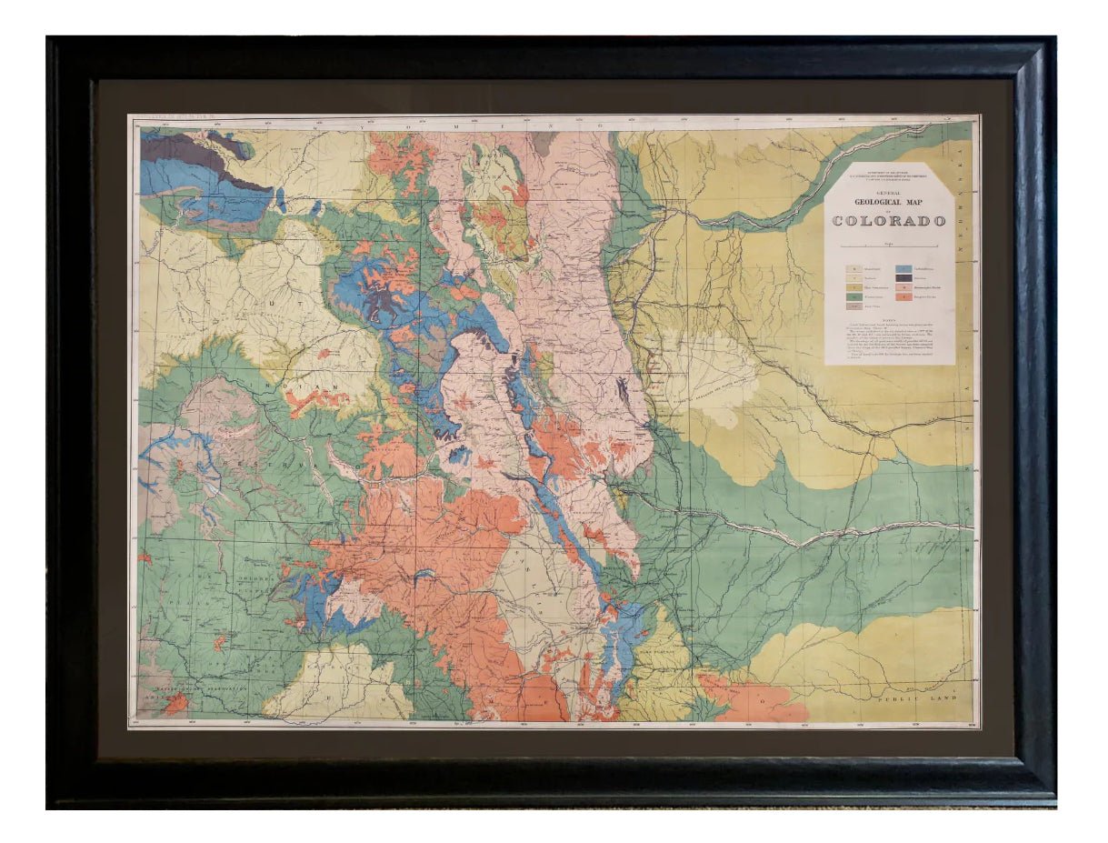
1877 "General Geological Map of Colorado"
New to our shop is this 1877 "General Geological Map of Colorado" by F.V. Hayden, and lithographed by Julius Bien. Read more about this interesting map.
Read more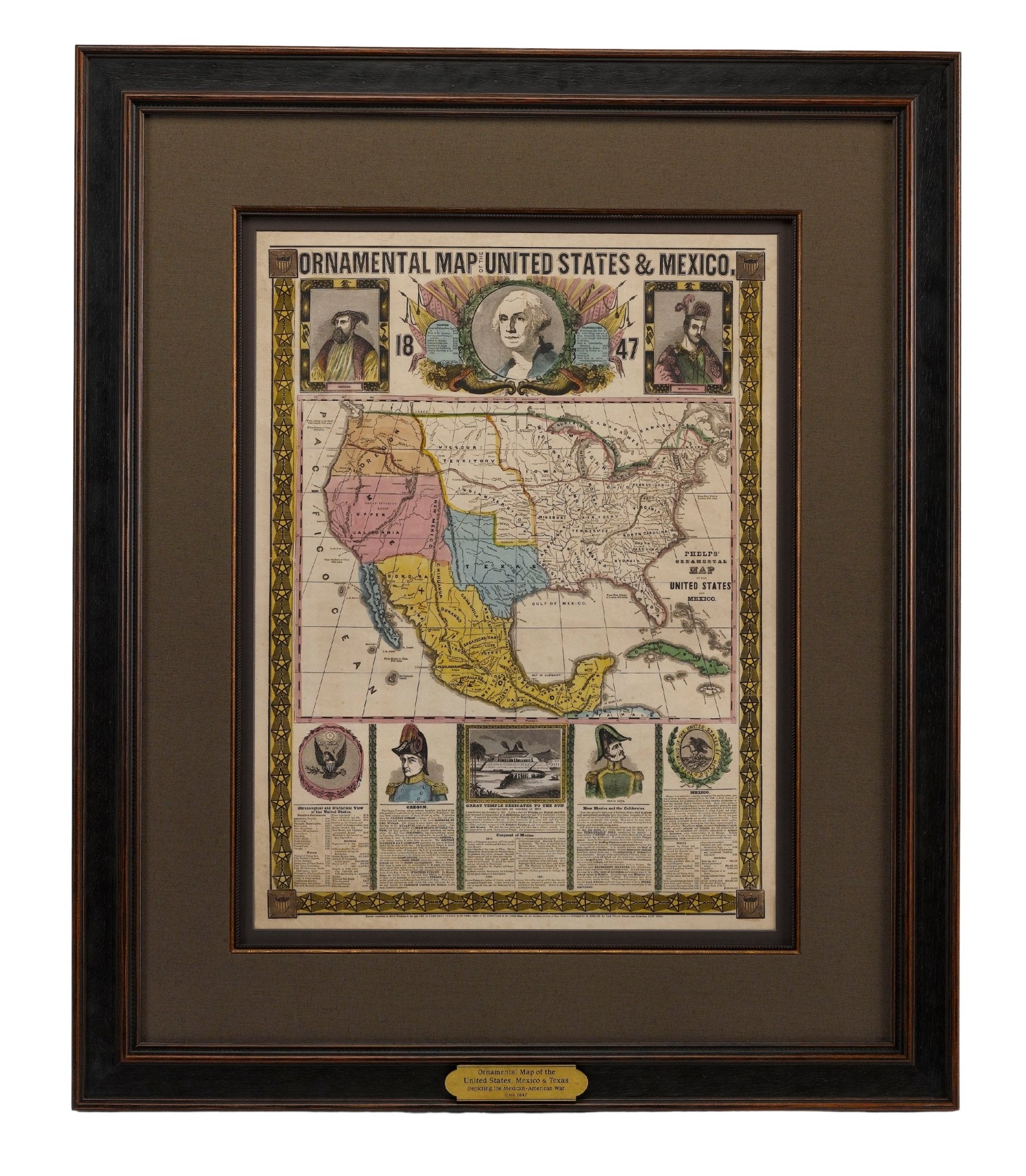
Reaching West: Mapping Manifest Destiny
Manifest Destiny was an ideal rooted in religion, exploration and nationalism. It pushed Americans to travel west in order to obtain cultural and political influence over western territories. Read ...
Read more
2023 Holiday Gift Guides: Gifts for the Explorer
These hand-picked holidays gifts are perfect for the explorer in your life! Inspire them with the tales of intrepid explorers who have come before them, a gorgeous photography collection of the Ame...
Read more
New In: Stunning 19th Century Family Bible
In the late 19th century, to counter the popularity of cheaper, popular dime novels, several publishers sought to elevate the book back to a piece of artistry that would be cherished for generation...
Read more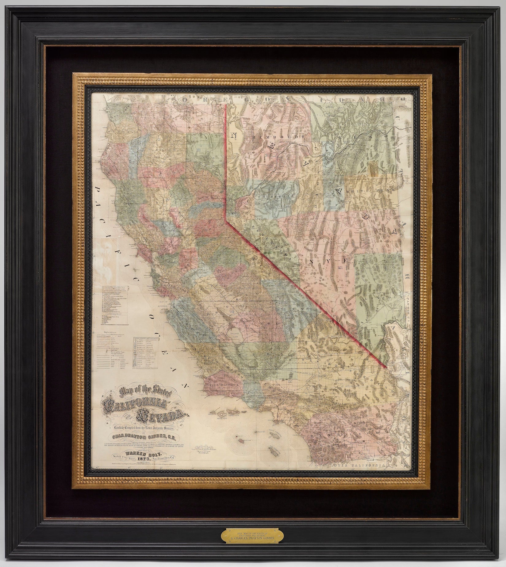
California has a very interesting mapping history. During and after the Mexican-American War, efforts to map California increased. Once gold was discovered in 1848, cartographers, geographers, and ...
Read more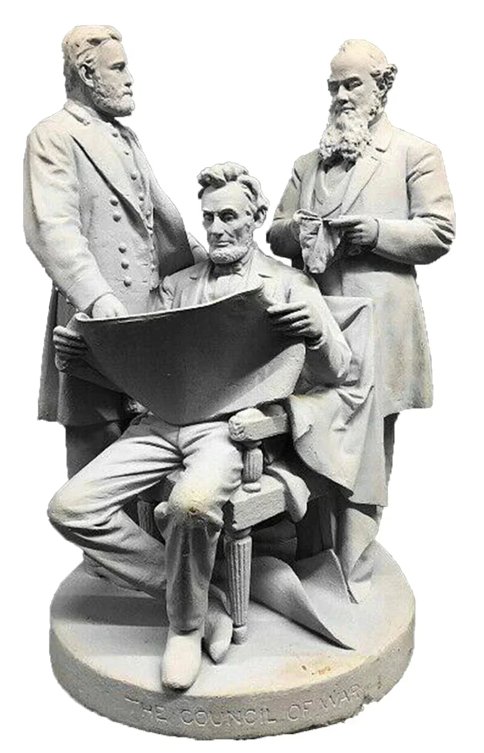
John Rogers: Sculpting the Civil War
A sculptor for the people, John Rogers produced his Civil War works in plaster rather than bronze, so that more could actually afford to purchase them. His works were used almost as in-home monumen...
Read more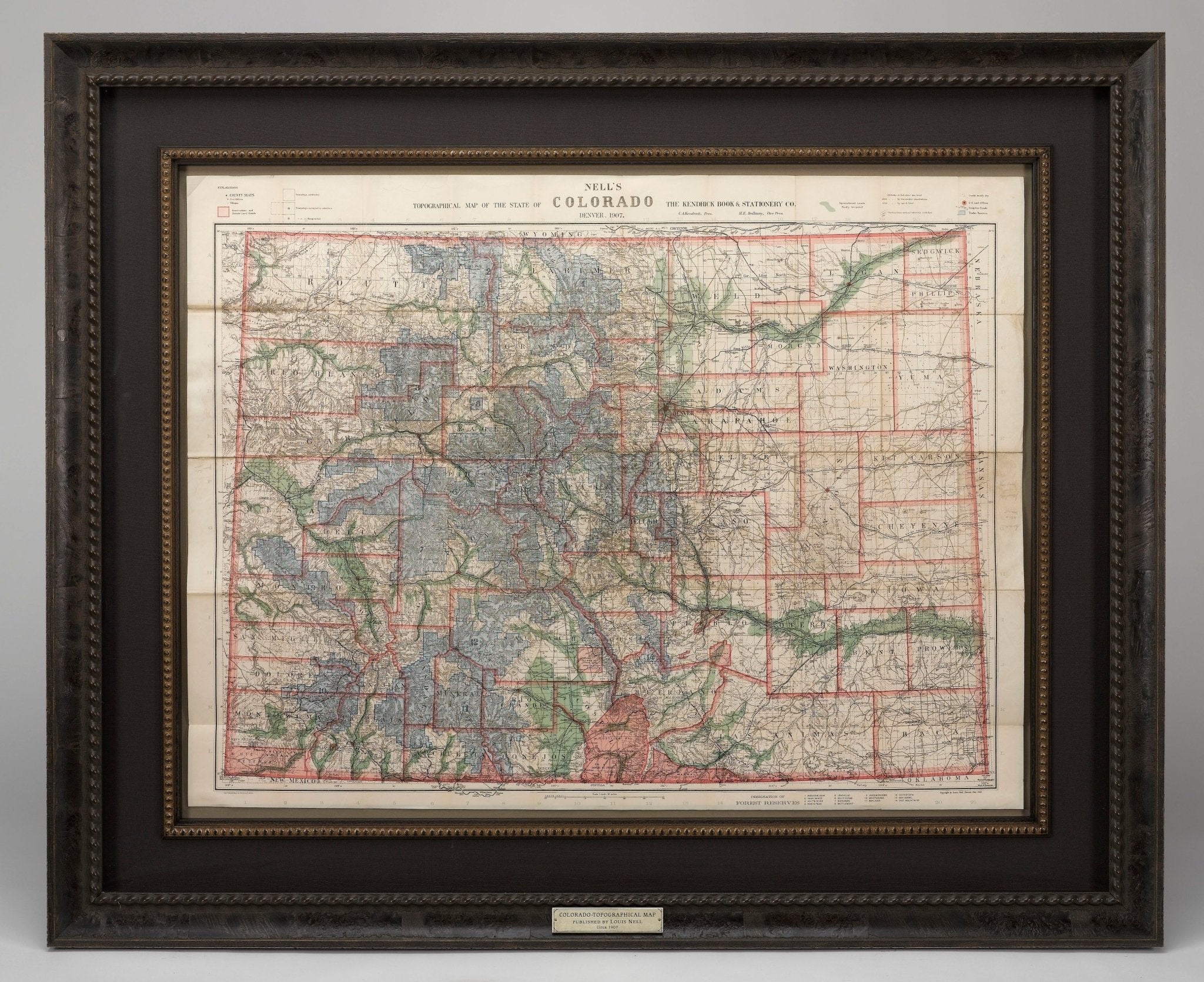
Mapping Colorado with Louis Nell
From 1880 to 1907, Louis Nell published a series of maps of the state of Colorado and formed one of the most continuous cartographic records available for the period immediately following Colorado ...
Read more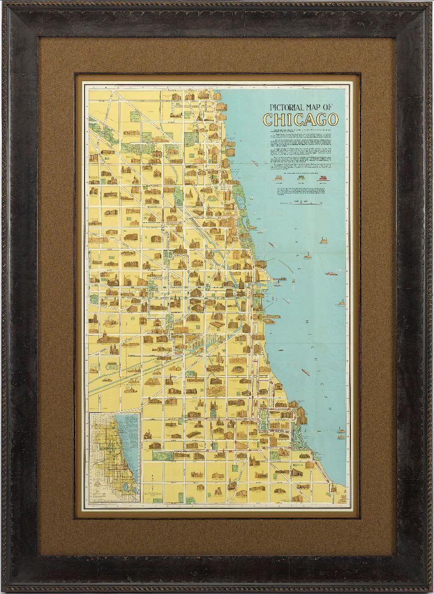
Pictorial Maps: Drawing in a New Wave of Map Collectors
Recent auction trends have shown an increased demand for American pictorial maps from the 1920-50s. Once considered mass-produced ephemera and overlooked by serious map collectors, these maps are n...
Read more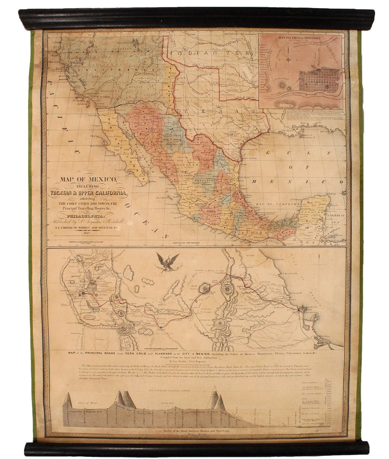
Mitchell's 1847 Wartime "Map of Mexico"
This is the second edition of Samuel Augustus Mitchell's “Map of Mexico, Including Yucatan & Upper California, Exhibiting the Chief Cities and Towns, the Principal Travelling Routes,” published...
Read more
2022 Holiday Gift Guide: Gifts for the Explorer
These hand-picked holidays gifts from The Great Republic are perfect for the explorer in your life! Inspire them with the tales of intrepid explorers who have come before them, a gorgeous photograp...
Read more
