

Article: Tracking Arizona’s Growth, from Territory to 48th State
Tracking Arizona’s Growth, from Territory to 48th State

Arizona became the nation’s 48th state in 1912. Prior to its statehood, Arizona was a part of the Territory of New Mexico. It was then organized as a separate territory on February 24, 1863. Read more about its road to statehood and track its progress through our antique offerings.

The United States acquired the region of present-day Arizona, and neighboring states, under the terms of the 1848 Treaty of Guadalupe Hidalgo. The treaty brought an official end to the Mexican-American War and exchanged 525,000 square miles of Mexican territory for $15 million. Arizona land was also gained in the 1853 Gadsden Purchase, which defined the U.S.-Mexico border and gave the U.S. 29,640 square miles of land known as present-day southern Arizona and southwestern New Mexico. Arizona was a part of the Territory of New Mexico, formed by the Compromise of 1850.

For a brief period before being officially defined as its own territory, Arizona was established as the Confederate Territory of Arizona. A 1861 convention in Tucson declared the territory south of the 34th parallel to be part of the Confederacy. On February 14, 1862, Confederate President Jefferson Davis officially proclaimed the Confederate Territory of Arizona which differed from the Arizona Territory that would be established by the Union in 1863. The land is shown on this Civil War-era map, just bordering New Mexico Territory above.

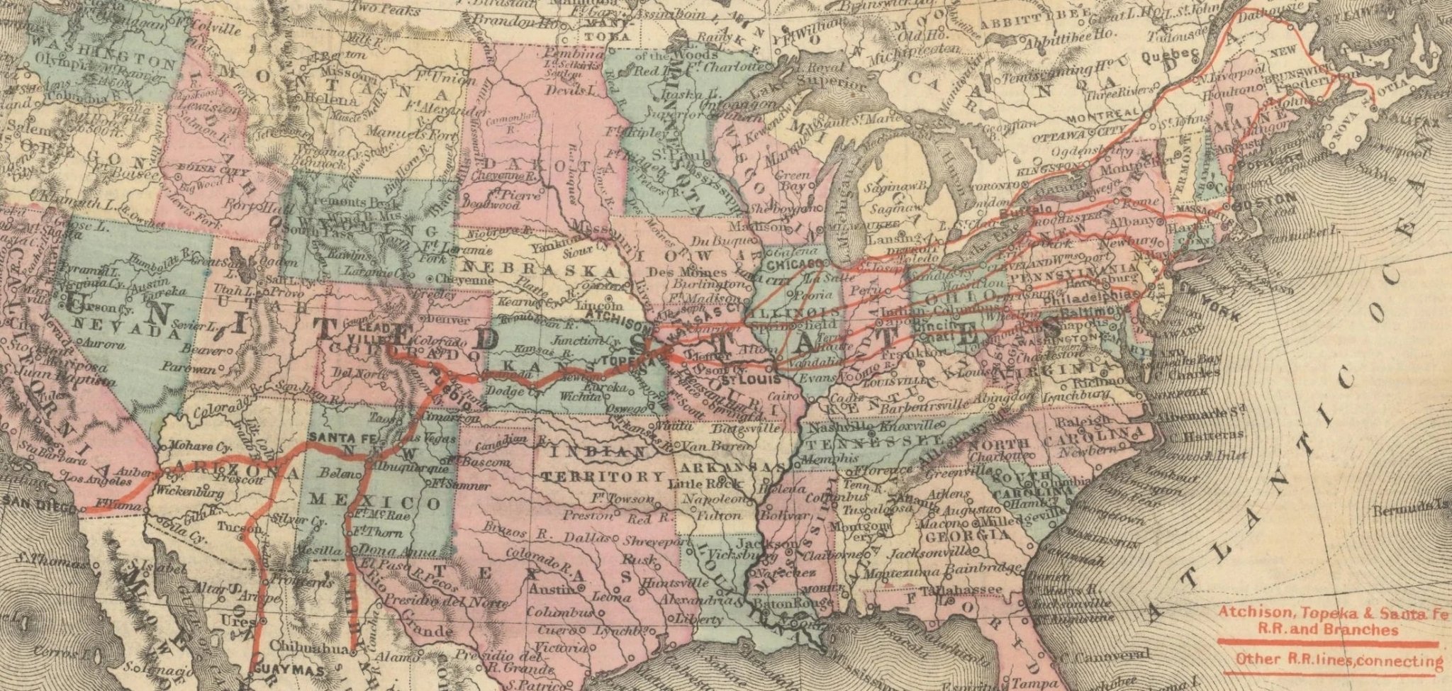
Arizona became its own territory on February 24, 1863. The population of the Arizona Territory grew rapidly throughout the late 19th century. The arrival of the railroad in 1880 ushered in travelers moving West for the promise of rich agriculture and mineral resources. Gold was discovered in 1863 near the first capital, Prescott, and silver was found near Tucson in 1877. By the beginning of the 20th century, the population of Arizona Territory exceeded 100,000. As the population grew, there was increasing sentiment for statehood.
Arizona residents had a desire for statehood long before 1912. However, they rejected a proposal from the U.S. Senate which suggested that Arizona and New Mexico territories combine to be admitted as one state in 1906. They aimed to be admitted as their own state. However, President Taft rejected their attempt in 1911, refuting the constitutional law that allowed for the recall of members of the judiciary. Arizonians voted to change the constitution to appease Taft and be approved for statehood. On February 14, 1912 they were granted statehood as the 48th state in the Union.

