

The Oarsman's and Angler's Map of the River Thames, Published by C. Smith & Son
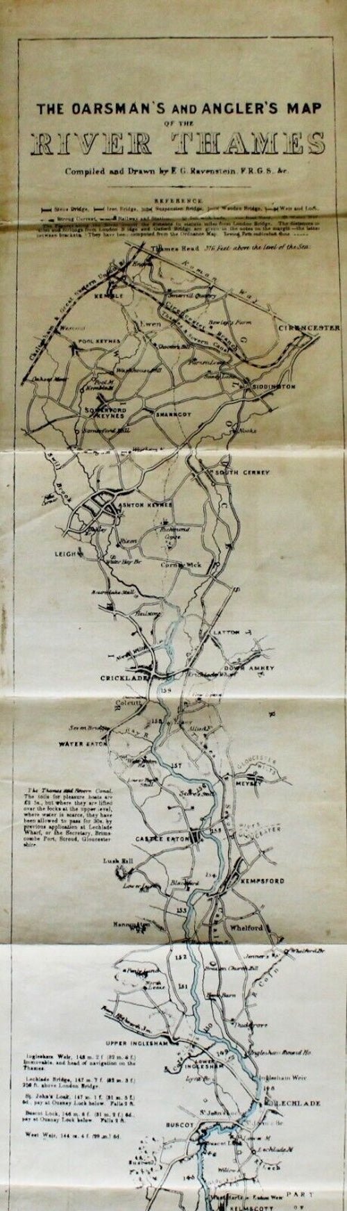
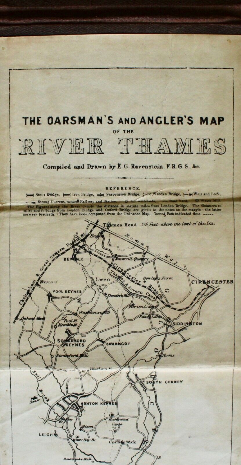
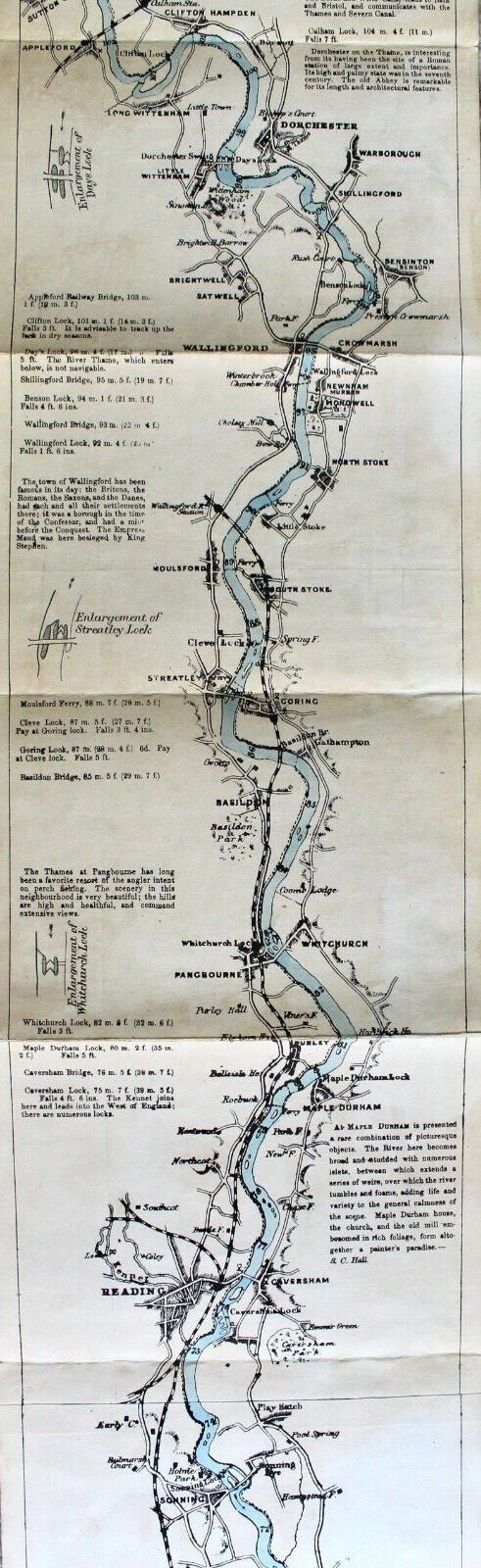
Presented is a long folding map of the Thames River and its banks, with accompanying notes regarding locks, fishing, tide flows, houses, and churches. The map starts at the Thames Head, in Cirencester, and ends at the London Bridge, in London. It includes navigation notes for rowers and specific locations for catching trout, pike, and perch. It also features extensive information on locks, weirs, water mills, paths, and ferries, along with local bylaws and tolls. Published in the late nineteenth century, it was a key guide for recreation during the height of the Victorian Thames' popularity as a leisure destination.
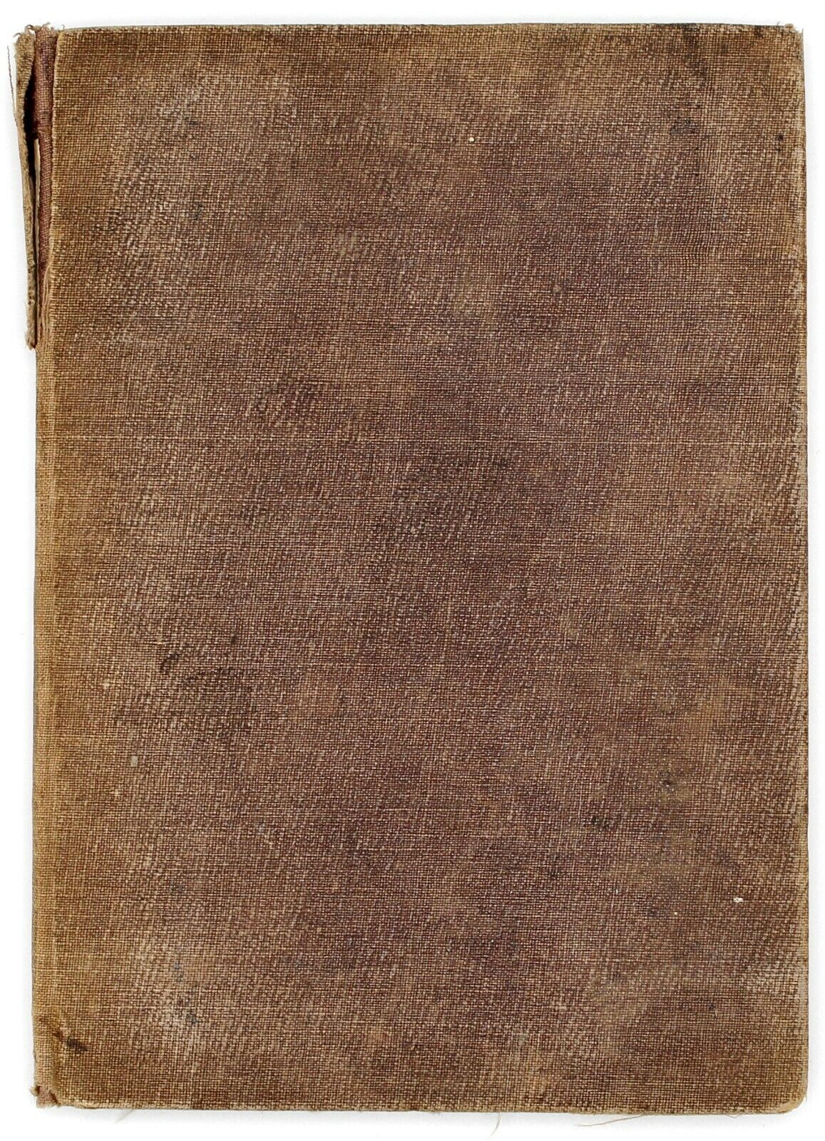
The map is mostly black and white, with original hand coloring to the River Thames. The map is mounted on linen and folds between the publisher's aubergine cloth booklet. The publisher’s line is pasted at bottom of the map, “Published by C. Smith & Son, 63, Charing Cross, London, S.W.”
Pickup available at Colorado
Usually ready in 4 hours
The Oarsman's and Angler's Map of the River Thames, Published by C. Smith & Son
Colorado
1 Lake Avenue
Colorado Springs CO 80906
United States
Choose options
Frequently Asked Questions
FAQs
Yes, all of our Antiques are certified authentic. Every antique comes with a signed Letter of Authenticity that details the item’s history, its current condition including any conservation, binding, or framing work, and the item’s provenance. The Letters of Authenticity are priced valuations by our authentication specialists, who assure that items are original and unconditionally guaranteed as genuine for life.
We pack and ship your items from our gallery in Colorado Springs. You may also choose to come pick up your order. Antique items are carefully packed and insured during shipping. The shipping price will be calculated at checkout.
We acquire from a variety of trusted sources all over the world, but mostly through auctions and private collections within the United States. All provenance information will be listed on the Letter of
Authenticity accompanying your purchase.