
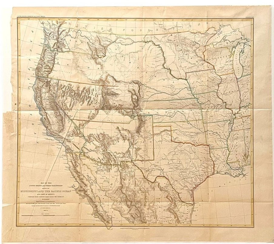
"Map of the United States and Their Territories" by Thomas Jekyll, 1857-8
Presented is Thomas Jekyll’s "Map of the United States and Their Territories, Between the Mississippi and the Pacific Ocean and Part of Mexico, Compiled From Surveys Made Under The Order of W.H. Emory." The map is among the most significant cartographic representations of the American West produced prior to the Civil War. Published in 1857, folded and bound as part of William H. Emory’s Report on the United States and Mexican Boundary Survey, Made Under the Direction of the Secretary of the Interior, the map reflects the most current geographical knowledge available following the conclusion of the Mexican-American War and the acquisition of additional territory through the Gadsden Purchase of 1854.
William H. Emory, an officer in the U.S. Army Corps of Topographical Engineers, was appointed to lead the American Boundary Commission. The Commission was charged with establishing the precise international boundary between the United States and Mexico. Over the course of nearly two years, Emory and his colleagues conducted extensive surveys that formed the basis for this landmark map.
Drawn by Thomas Jekyll, under the supervision of Lieutenant Nathaniel Michler, and engraved by Selmar Siebert, the map presents a detailed vision of the West at a moment of profound territorial transformation. The map encompasses the vast territorial expanses of Nebraska, Kansas, New Mexico, Utah, Oregon, Washington, and Minnesota, depicting a landscape that remained only partially known to American cartographers. Although extensive areas across Arizona, New Mexico, Nevada, Utah, and the Pacific Northwest are designated as “unexplored territory,” the map combines and assembles disparate observations from numerous expeditions into a coherent geographical picture. The map is intricately engraved with mountain ranges, river systems, and topographical features, while also noting roads, military posts, settlements, and transportation routes.
Along the south, both the pre- and post-Gadsden Purchase borders with Mexico are clearly identified. Michler worked closely with his Mexican counterpart, Captain Francisco Jiménez, in surveying critical sections of the boundary between Nogales and Yuma, including the region south of Arivaca.
The large Nebraska and Kansas Territories extend across the central portion of the map. The Wasatch Mountains, Elk Mountains, and Upper Colorado River basin are rendered with considerable detail. Lake Tahoe appears but is unmarked, yet later celebrated geographical landmarks such as the Tetons and Yellowstone Lake remain absent, underscoring the pace of western exploration during the period. Similarly, the Great Plains and Rocky Mountain West are pictured just before the discovery of gold in Colorado in 1858, which had major changes to the settlement and development of that area.
This map represents the culmination of knowledge gathered through successive expeditions, beginning with the explorations of Lewis and Clark and continuing through numerous governmental and private surveys undertaken in the decades that followed. It is an essential record of the nation’s expanding geographic understanding on the eve of the Civil War.
CONDITION:
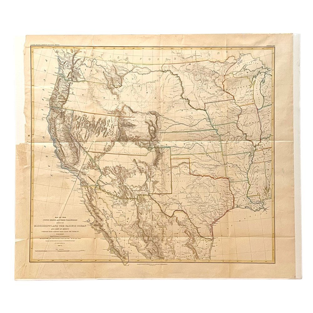
Very good+ condition. Engraved map, with later hand coloring. Originally issued folded and bound into William H. Emory’s Report on the United States and Mexican Boundary Survey, since removed. Some vertical and horizontal fold lines, as expected from a folding map, as well as a few diagonal creases. Previous tape repair/residue at left margin, where it was attached into book. Two small circular stains, one light blue ink stain in right margin. Very small tear along one fold line. Light toning visible across margins.
The map is presented unframed, with foamboard backing.
Dimensions: 20 ⅜” H x 23” W (image). 23” H x 26” W (sheet)
Accompanied by our company's letter of authenticity.
Pickup available at Colorado
Usually ready in 4 hours
"Map of the United States and Their Territories" by Thomas Jekyll, 1857-8
Colorado
1 Lake Avenue
Colorado Springs CO 80906
United States
Choose options
Frequently Asked Questions
FAQs
Yes, all of our Antiques are certified authentic. Every antique comes with a signed Letter of Authenticity that details the item’s history, its current condition including any conservation, binding, or framing work, and the item’s provenance. The Letters of Authenticity are priced valuations by our authentication specialists, who assure that items are original and unconditionally guaranteed as genuine for life.
We pack and ship your items from our gallery in Colorado Springs. You may also choose to come pick up your order. Antique items are carefully packed and insured during shipping. The shipping price will be calculated at checkout.
We acquire from a variety of trusted sources all over the world, but mostly through auctions and private collections within the United States. All provenance information will be listed on the Letter of
Authenticity accompanying your purchase.