
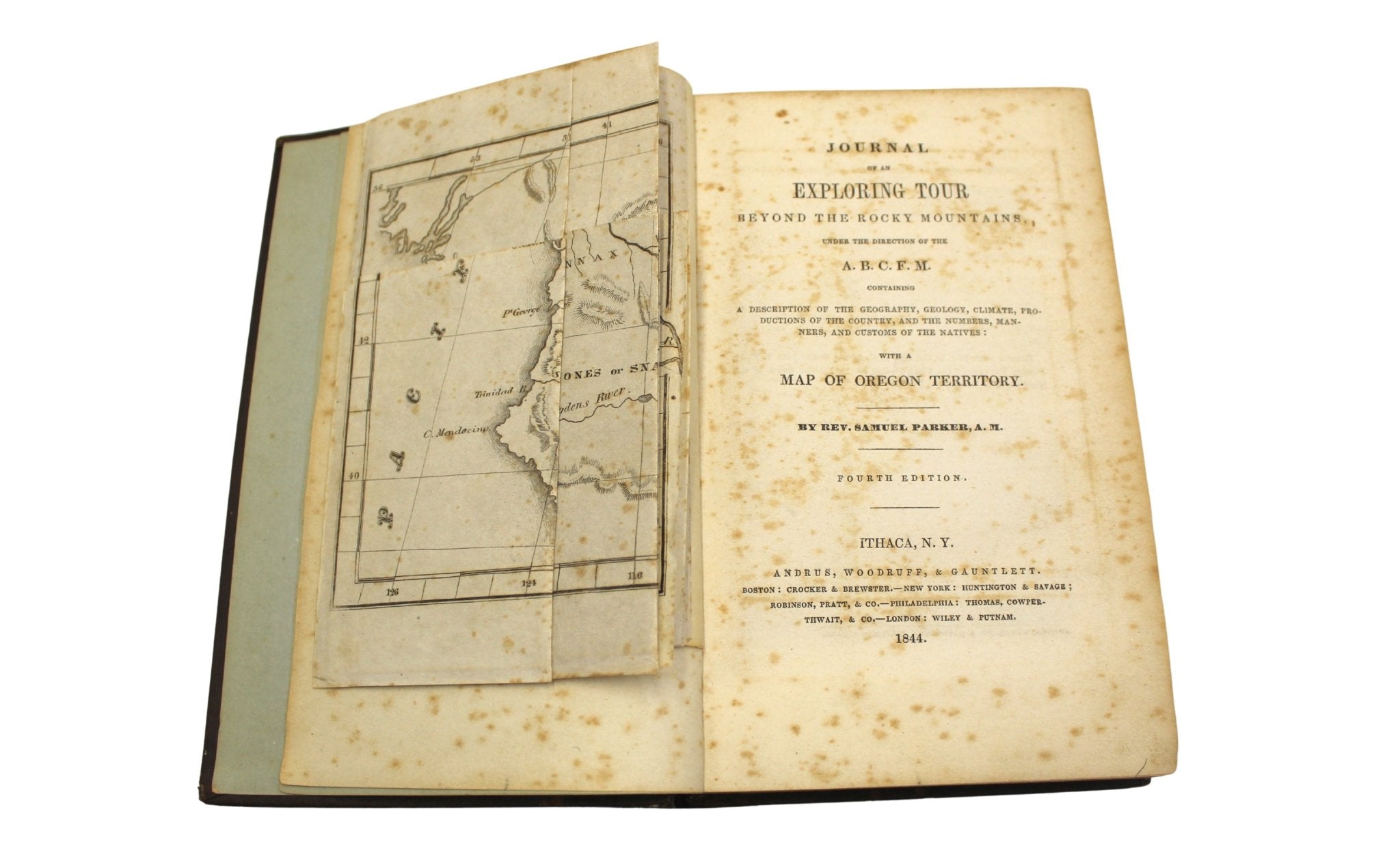
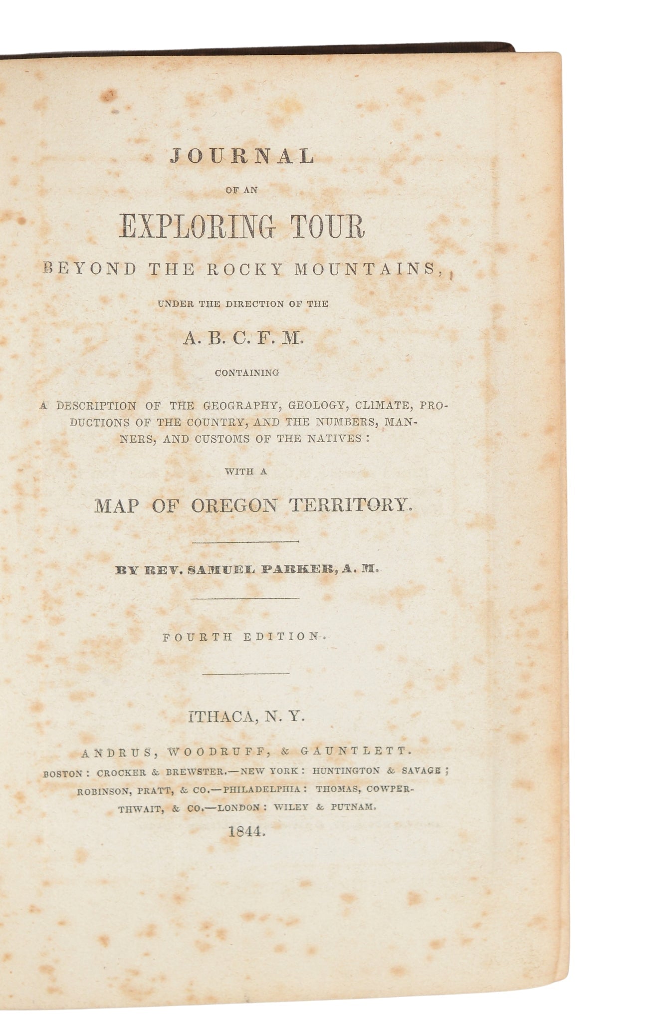
Journal of an Exploring Tour Beyond the Rocky Mountains by Rev. Samuel Parker, Fourth Edition, 1844
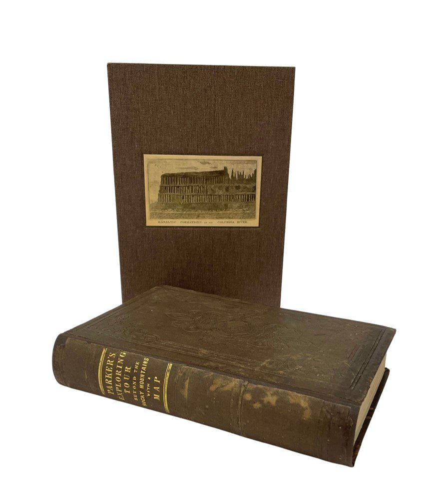
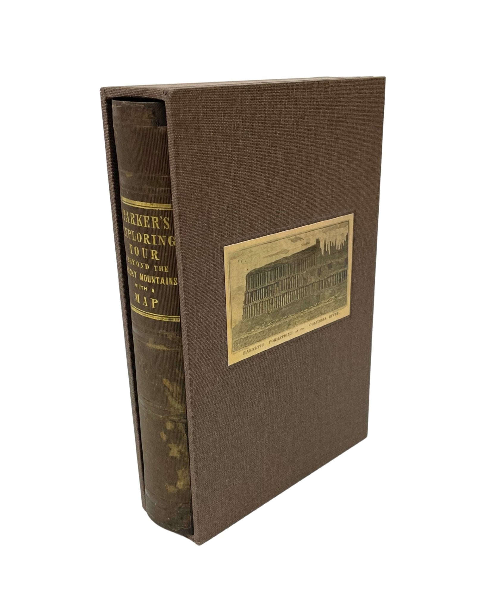
Parker, Samuel. Journal of an Exploring Tour Beyond the Rocky Mountains, Under the Direction of the A. B. C. F. M., Containing a Description of the Geography, Geology, Climate, Productions of the Country, and the Numbers, Manners, and Customs of the Natives: With a Map of Oregon Territory. Ithaca: Andrus, Woodruff, & Gauntlett, 1844. Fourth Edition. Octavo. In brown cloth embossed hardcover boards, with gilt titles to spine, rebacked. With folding “Map of Oregon Territory,” and “Basaltic Formations on the Columbia River” engraving. Presented with a new archival slipcase.
Presented is the fourth edition of Samuel Parker’s Journal of an Exploring Tour Beyond the Rocky Mountains. Published by Andrus, Woodruff, & Gauntlett in Ithaca, New York in 1844, this fourth edition is revised, corrected, and enlarged from the first edition issued in 1838. The work is one of the most significant early narratives of the Pacific Northwest, combining travel account, missionary report, ethnographic observation, and geographical survey. Written from his firsthand experience on a three-year tour of the area, Parker’s Journal provided one of the earliest detailed descriptions of the Oregon Country available to an American audience.
Samuel Parker (1779–1866), a Congregational minister commissioned by the American Board of Commissioners for Foreign Missions, departed from the Missouri frontier in 1835 with the annual caravan of the American Fur Company. Accompanied initially by Dr. Marcus Whitman, Parker traveled to the Green River rendezvous before continuing westward alone under the protection of Native guides. His route took him through the Rocky Mountains to Fort Walla Walla and Fort Vancouver, where he spent the winter of 1835–1836. He explored the Columbia River basin and portions of present-day Oregon and Washington, evaluating potential missionary stations and documenting the geography, resources, and native peoples of the region. Following his exploration of the Columbia River basin, Parker departed the Pacific Northwest by ship, traveling through the Hawaiian Islands before returning to the eastern United States around Cape Horn, completing a journey that spanned nearly three years. The Journal therefore extends beyond the Oregon Country, incorporating his observations of Hawaii and trans-Pacific travel, while still maintaining its primary focus on the lands and peoples west of the Rocky Mountains.
The journal is distinguished by the breadth and detail of its observations. Parker records encounters with numerous Indigenous nations, including the Flathead, Nez Percé, and Cayuse, offering descriptions of social customs, religious beliefs, trade practices, and daily life. Equally important are his accounts of the natural landscape. Rivers, mountain passes, forests, fisheries, and agricultural lands are described with unusual precision, reflecting Parker’s keen interest in both the physical geography and future development of the region. His observations were widely respected by later scholars. Thomas W. Field praised the work, writing that Parker’s “personal experience among the nomads of the plains, the root-diggers of the mountains, and the fish-eaters of the western slope” was presented with “such evident adherence to fidelity of narration as to acquire our confidence and belief,” concluding that “in all the qualities which a historian would require, it has few equals.”
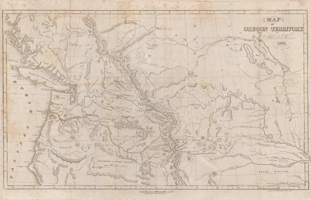
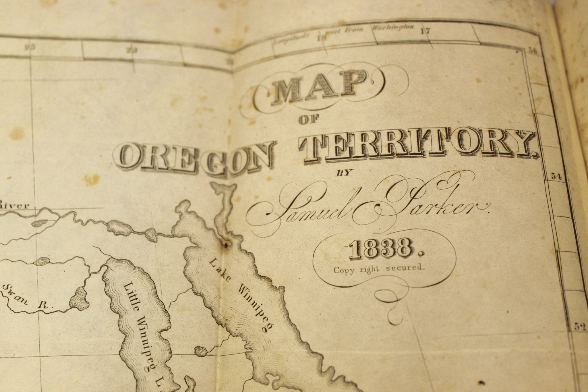
One of the most celebrated features of the volume is its folding Map of Oregon Territory, engraved by M. M. Peabody and issued from Parker’s original surveys and compiled observations. The map is widely recognized as one of the earliest reliable representations of the interior Pacific Northwest and Ione of the most important cartographic documents relating to the Oregon Country. Its compilation reflected a combination of multiple authoritative sources. The western portion derived from the surveys of George Vancouver, the central section from Parker’s own observations and notes during his journey, the northern areas from sketches by Samuel Black, and the southern regions from information associated with Jedediah Smith. The resulting map provided one of the clearest and most dependable visual representations of the Oregon Country available during the early nineteenth century. River systems, mountain ranges, tribal territories, trading routes, and frontier forts are carefully identified, including an early representation of Fort Hall.
The map was considered a substantial improvement over earlier efforts, and Parker himself noted in the Preface of this book that it was “far more accurate than any which has before been published.” Carl Wheat described Parker’s Map of the Oregon Territory as having “represented a real advance,” specifically noting that it “was made from personal observation.” Wagner-Camp characterized the map as “one of the earliest to circulate widely and to provide reliable information about the interior of Oregon Territory.”
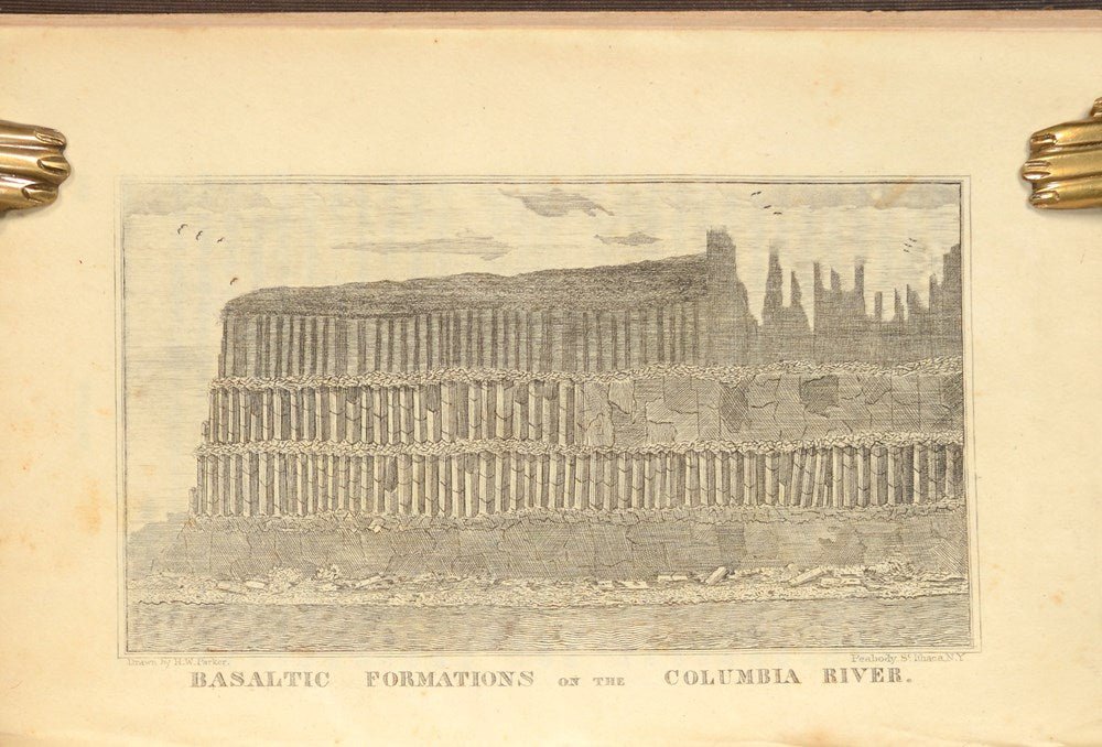
Also included is the engraved plate depicting the “Basaltic Formations on the Columbia River,” an early published illustration of the dramatic geological formations of the Columbia Gorge. Combining detailed firsthand observations with one of the most influential maps of the region, Parker’s work remains a foundational source for the history, geography, and cartography of the Oregon Territory.
CONDITION:
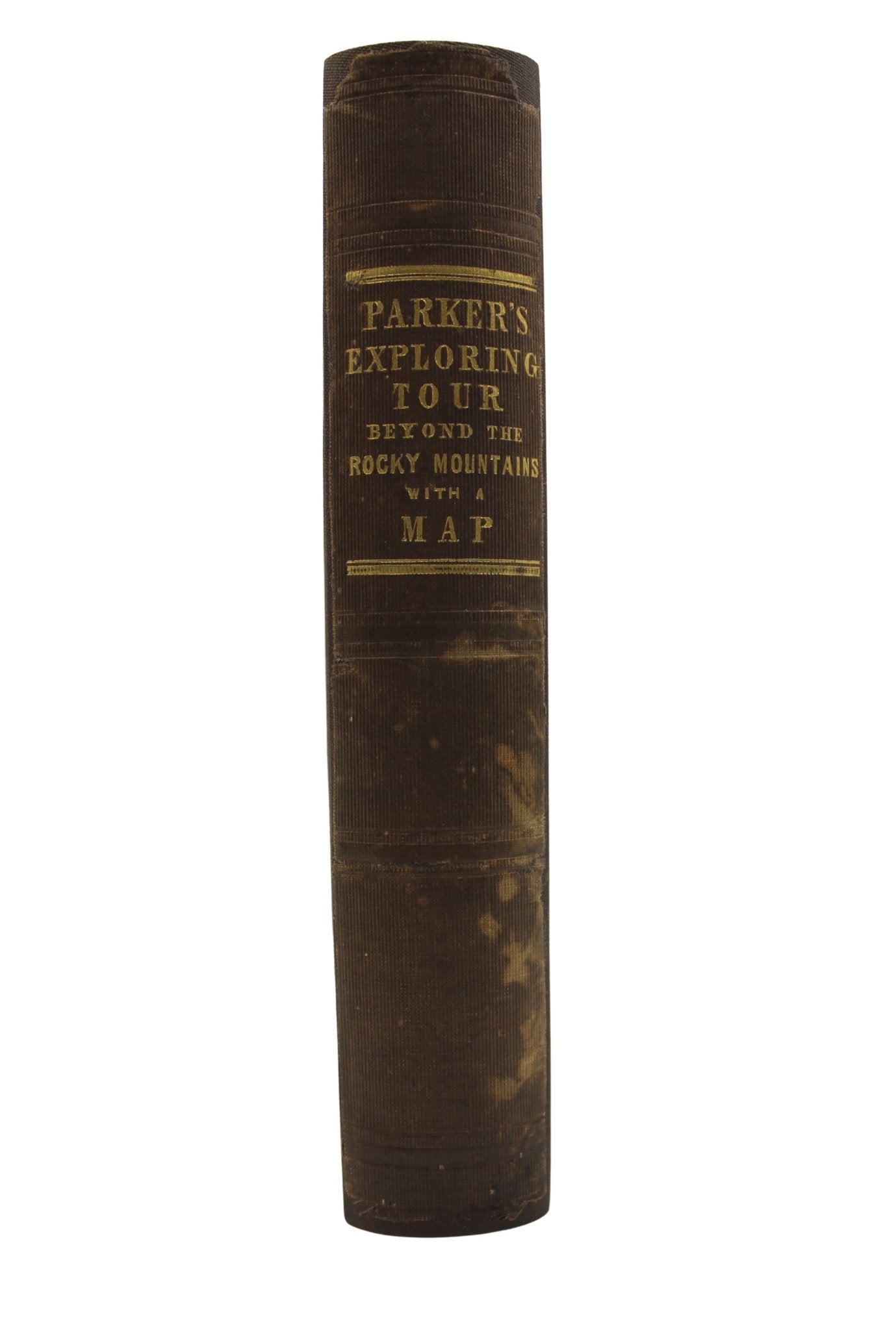
Very good condition. Fourth Edition. Octavo. In blind stamped brown cloth boards, with gilt titles on the spine. Boards and spine have bumped corners, surface wear and scratches, and light damp staining. Rebacked. Interior pages with scattered foxing and light toning, more concentrated on title page. Previous owner's inked name on endpaper. Folding map, engraved and dated to 1838, and engraving, “Basaltic Formations on the Columbia River,” as issued. The folding map has light damp staining along the left edge and some scattered foxing. 416 pp. With new archival slipcase with inlay.
Book Dimensions: 7 7/8" H x 5 3/8" W x 1 1/2" D. Slipcase Dimensions : 8 1/4" H x 5 1/2" W x 1 3/4" D.
REF: Wagner-Camp 70:4, Graff 3194, Wheat Trans-Maps 438
Accompanied by our company's letter of authenticity.
Pickup available at Colorado
Usually ready in 4 hours
Journal of an Exploring Tour Beyond the Rocky Mountains by Rev. Samuel Parker, Fourth Edition, 1844
Colorado
1 Lake Avenue
Colorado Springs CO 80906
United States
Choose options
Frequently Asked Questions
FAQs
Yes, all of our Antiques are certified authentic. Every antique comes with a signed Letter of Authenticity that details the item’s history, its current condition including any conservation, binding, or framing work, and the item’s provenance. The Letters of Authenticity are priced valuations by our authentication specialists, who assure that items are original and unconditionally guaranteed as genuine for life.
We pack and ship your items from our gallery in Colorado Springs. You may also choose to come pick up your order. Antique items are carefully packed and insured during shipping. The shipping price will be calculated at checkout.
We acquire from a variety of trusted sources all over the world, but mostly through auctions and private collections within the United States. All provenance information will be listed on the Letter of
Authenticity accompanying your purchase.