
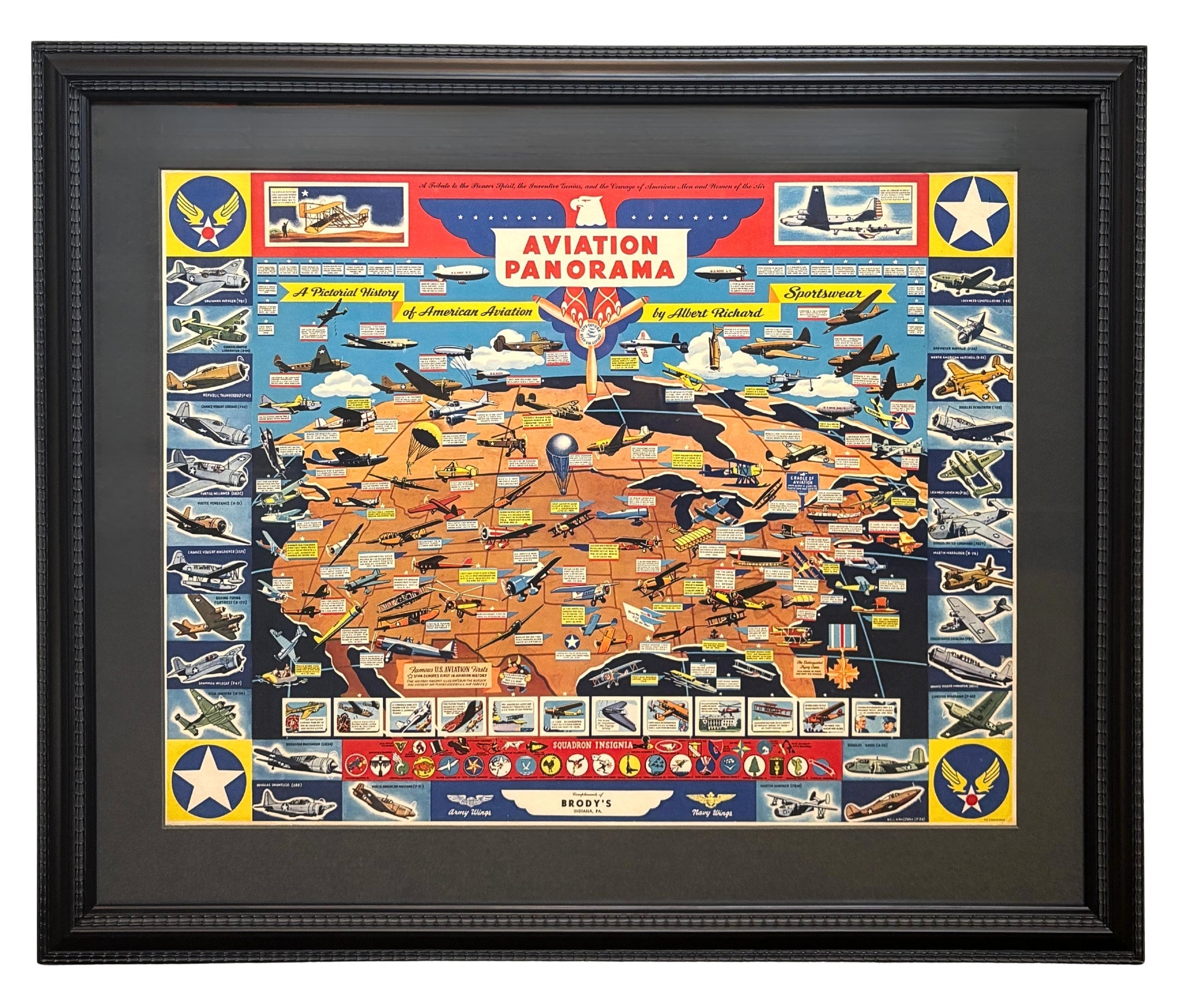
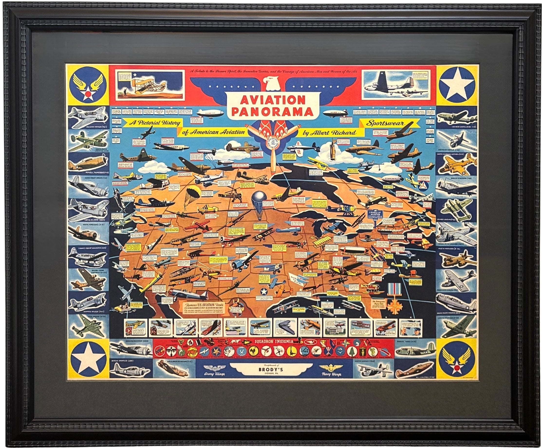
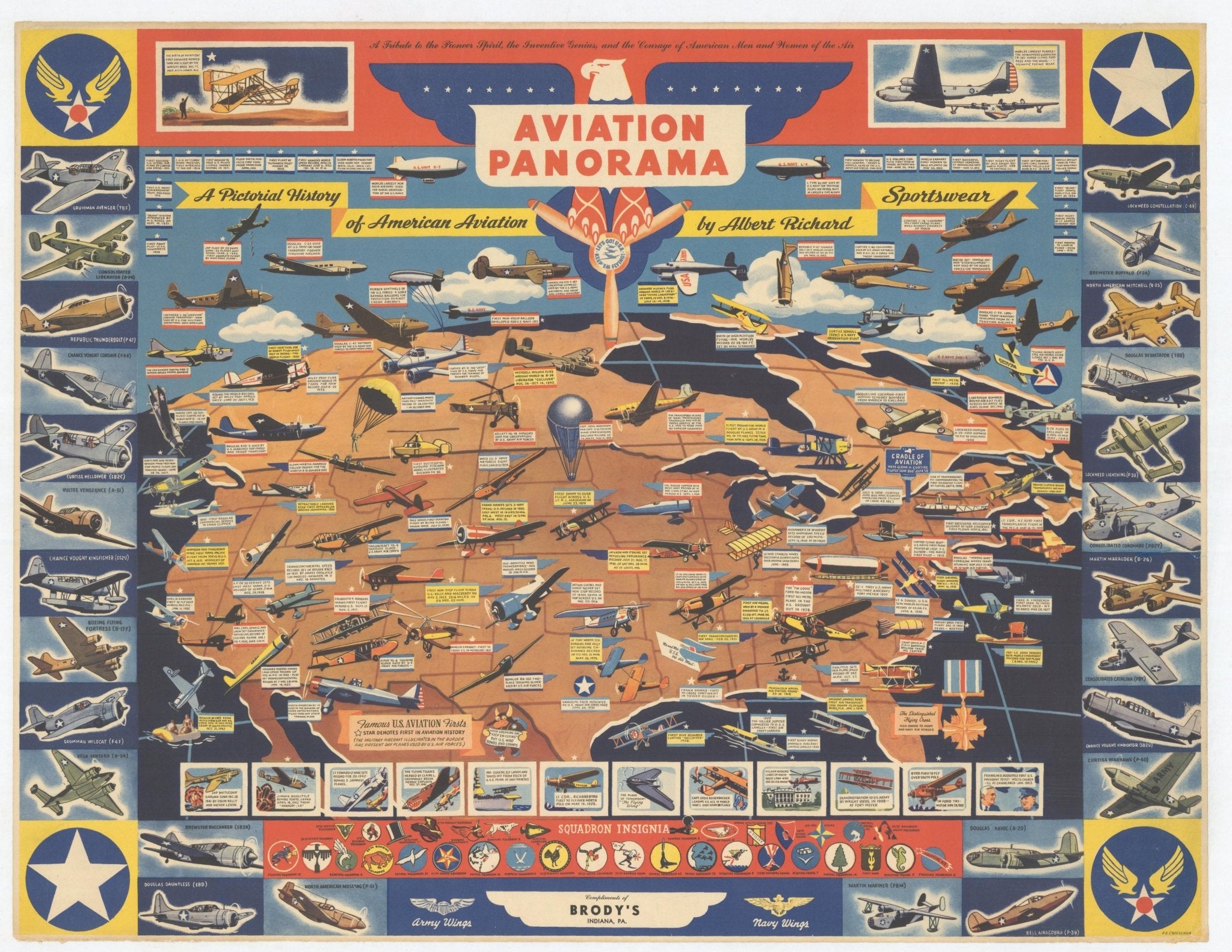



"Aviation Panorama: A Pictorial History of American Aviation" Map of the United States by F. E. Cheeseman, circa 1944
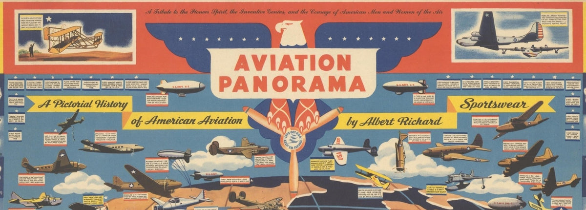
Presented is an original 1943 "Aviation Panorama - A Pictorial History of American Aviation" pictorial map. This World War II-era map showcasing American aviation was created by F. E. Cheeseman, for Milwaukee-based clothing manufacturer Albert Richard. Richly illustrated, it chronicles the development of flight from the pioneering experiments of the late nineteenth century through the remarkable technological achievements that transformed aviation in the modern era. As noted at the top of the map, it is a “Tribute to the Pioneer Spirit, the Inventive Genius, and the Courage of American Men and Women of the Air.”
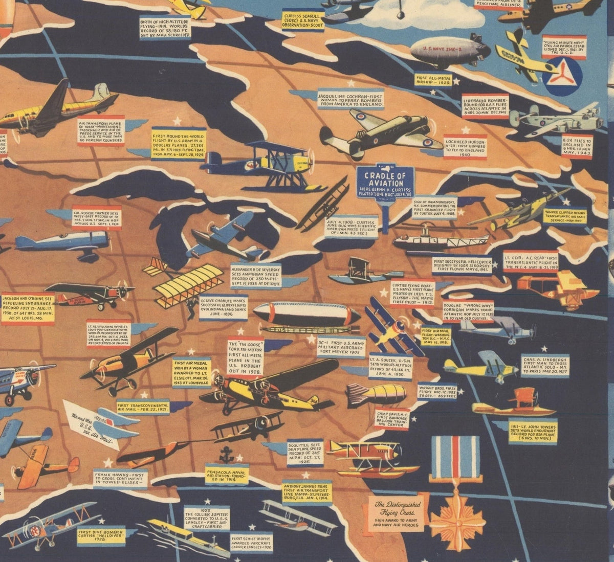
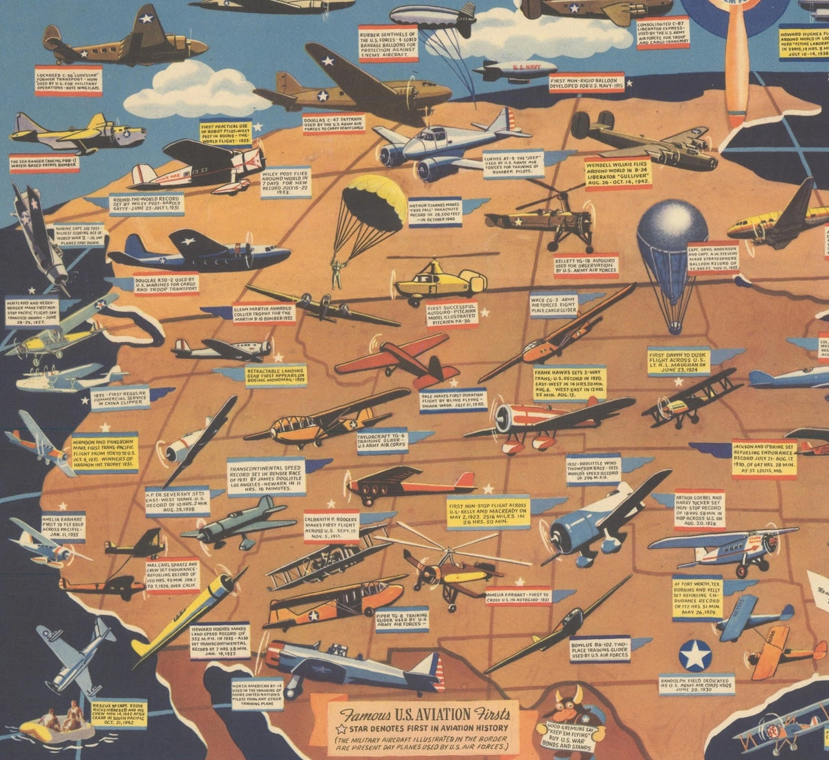
This map of the United States is filled with illustrations of various aircraft, each one marking a milestone in the history of aviation. Among the milestones depicted are Octave Chanute's groundbreaking glider experiments over the Indiana sand dunes in 1896, the Wright brothers' first powered flight at Kitty Hawk in 1903, the inaugural transcontinental air mail service in 1921, Amelia Earhart's pioneering solo flight across the Pacific in 1935, Howard Hughes' record-setting round-the-world flight aboard his "Flying Laboratory" in 1938, and the first successful helicopter flight in 1941.
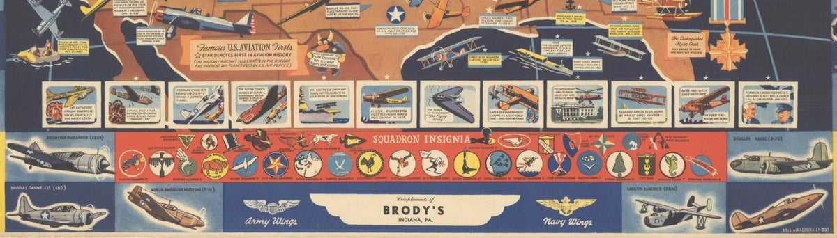
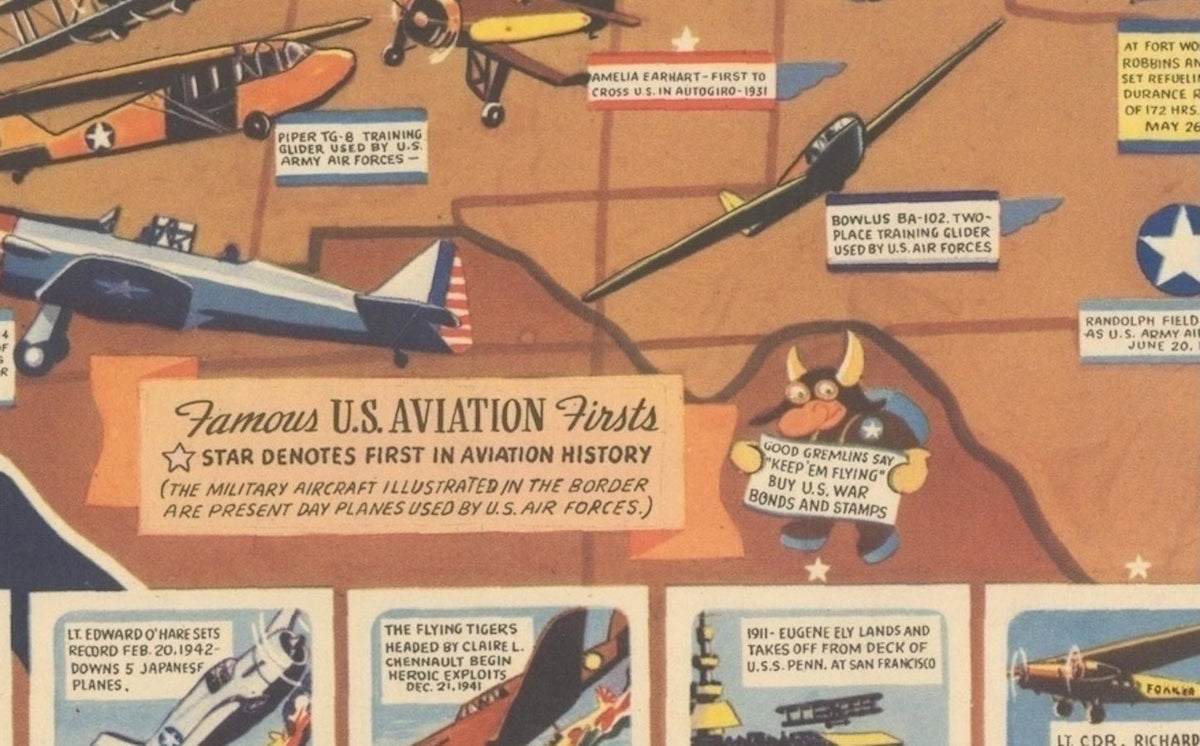
The map is further surrounded by a border with several types of modern warplanes, the "present day planes used by the U.S. Air Forces.” Along the bottom are squadron insignia and vignettes of notable achievements in aviation history, including contemporary acts of WWII heroics, Franklin D. Roosevelt flying to meet Winston Churchill in Casablanca, and "the Flying Wing," a futuristic prototype aircraft. A "good gremlin" at bottom center encourages folks to “‘Keep ‘Em Flying’ Buy U.S. War Bonds and Stamps,” reinforcing the map's role as a piece of home front propaganda.
CONDITION:
Very good+ condition. Printed color, still bright and vibrant. Paper is mounted on linen, with few short edge tears repaired along the right.
Archivally framed with acid-free dark gray top mat, UV Plexiglas, and a custom-built wooden frame.
Framed Dimensions: 24" H x 28 3/4" W x 7/8" D.
REFERENCES: Rumsey #9019.
Accompanied by our company's letter of authenticity.
Pickup currently unavailable at Colorado
"Aviation Panorama: A Pictorial History of American Aviation" Map of the United States by F. E. Cheeseman, circa 1944
Colorado
1 Lake Avenue
Colorado Springs CO 80906
United States
Choose options
Frequently Asked Questions
FAQs
Yes, all of our Antiques are certified authentic. Every antique comes with a signed Letter of Authenticity that details the item’s history, its current condition including any conservation, binding, or framing work, and the item’s provenance. The Letters of Authenticity are priced valuations by our authentication specialists, who assure that items are original and unconditionally guaranteed as genuine for life.
We pack and ship your items from our gallery in Colorado Springs. You may also choose to come pick up your order. Antique items are carefully packed and insured during shipping. The shipping price will be calculated at checkout.
We acquire from a variety of trusted sources all over the world, but mostly through auctions and private collections within the United States. All provenance information will be listed on the Letter of
Authenticity accompanying your purchase.