
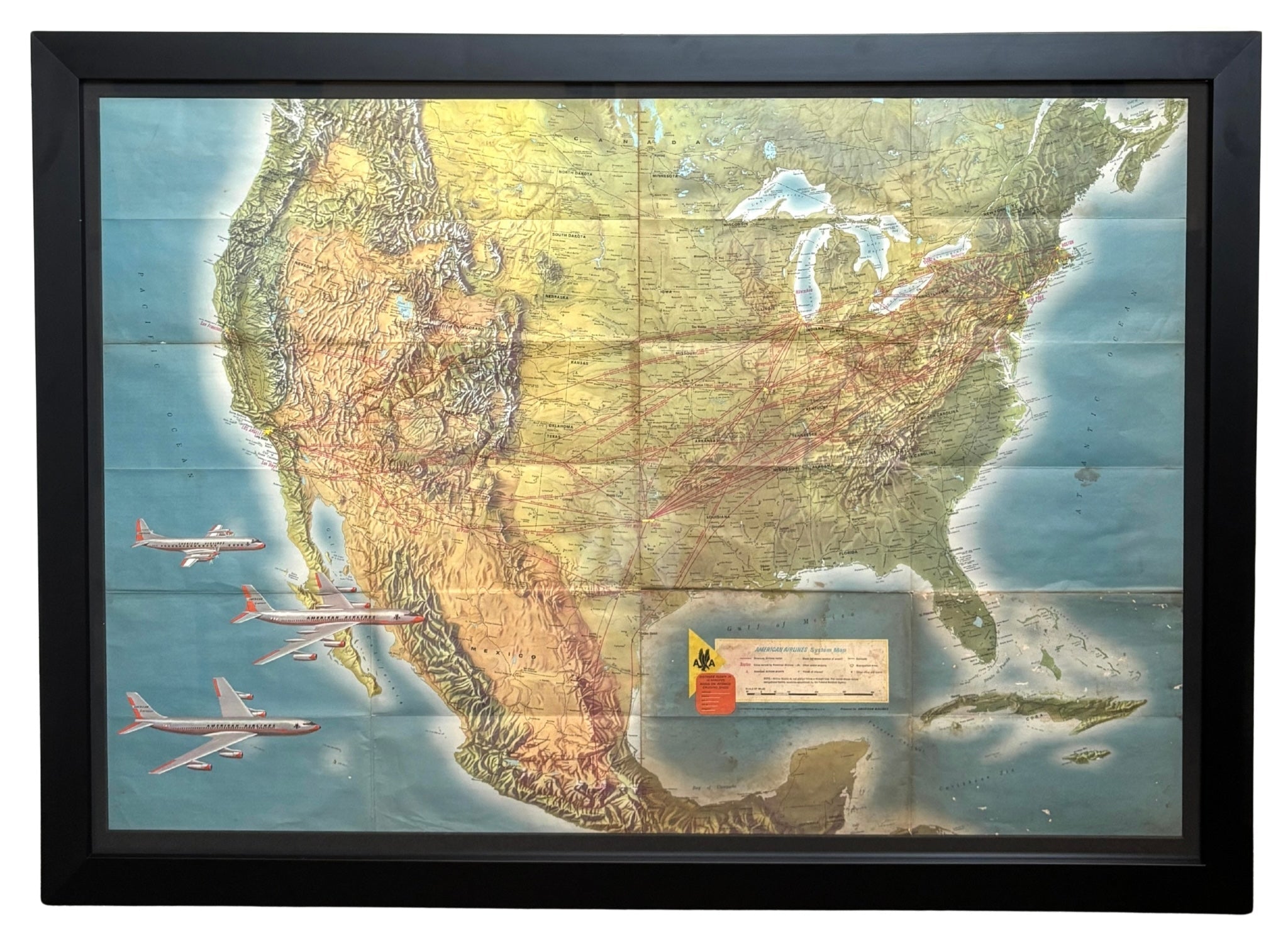
"American Airlines System Map" by Rand McNally & Co., circa 1962
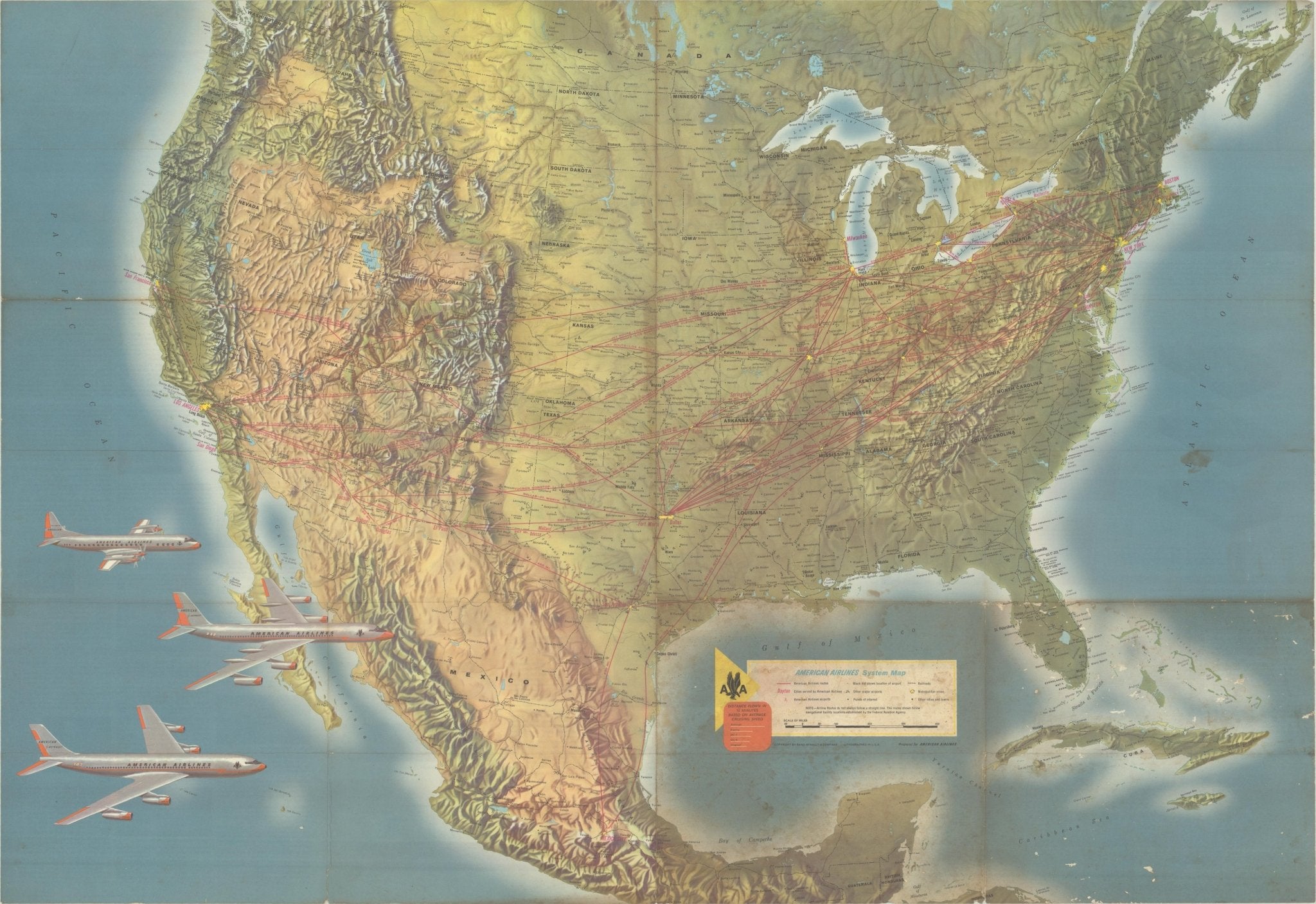
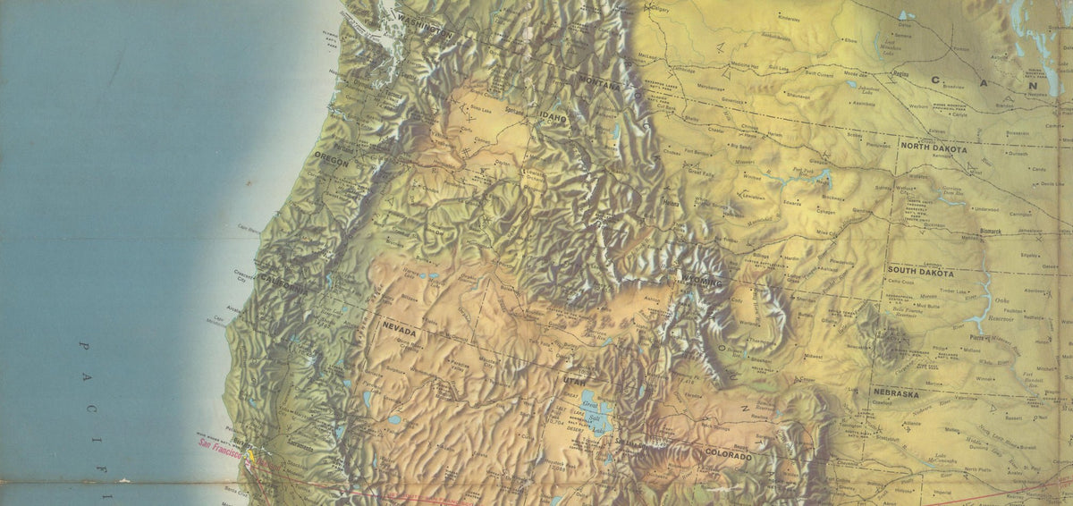
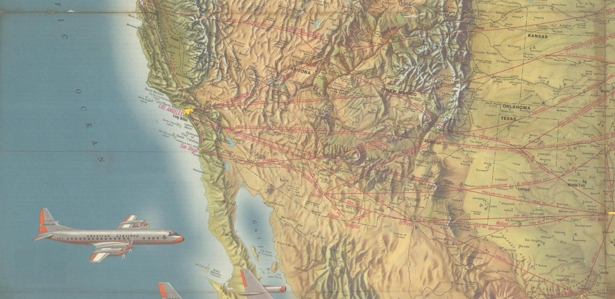
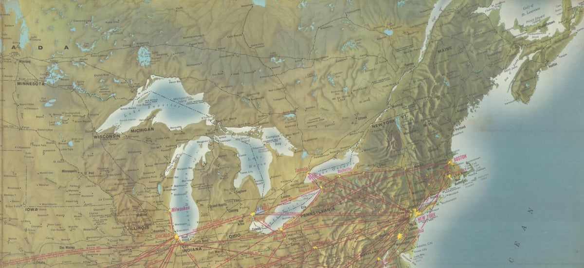
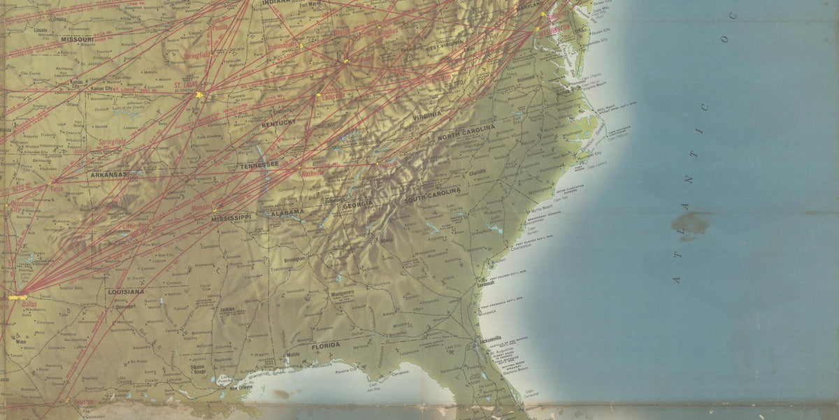
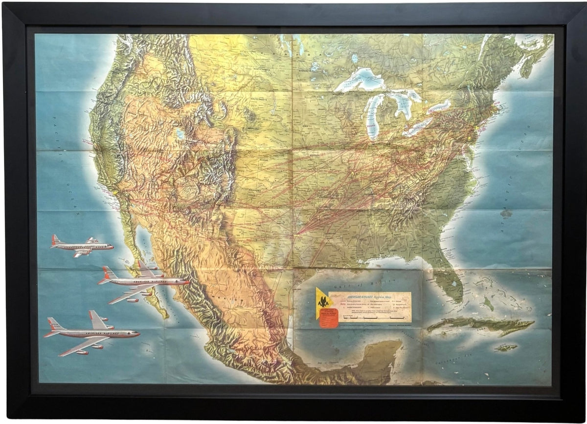
Presented is an original "American Airlines System Map" from 1962. A topographical map of the United States, overlaid with American Airlines routes, this colorful lithograph was prepared for American Airlines by the publishers Rand McNally & Co. Issued during the height of the Jet Age, the map documents the airline's rapidly expanding network and celebrates the new technological advances in commercial air travel.
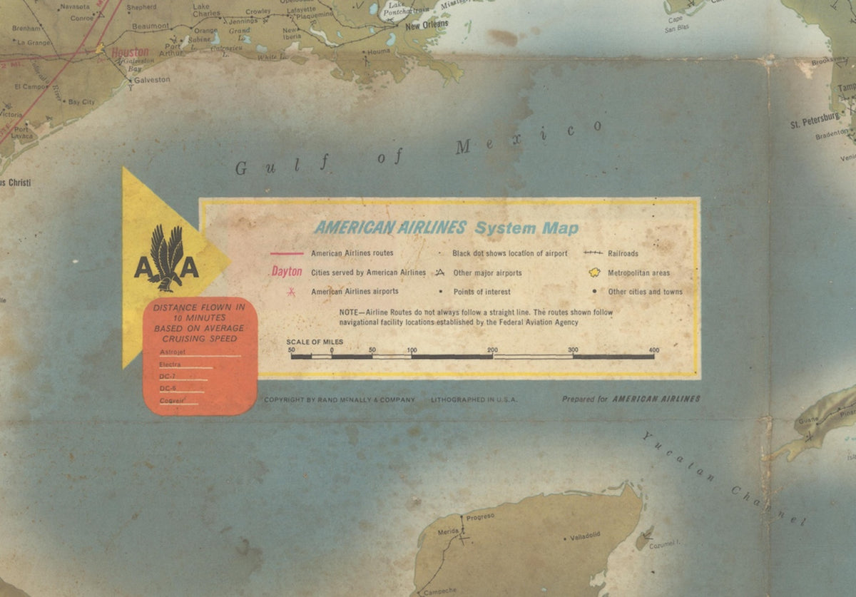
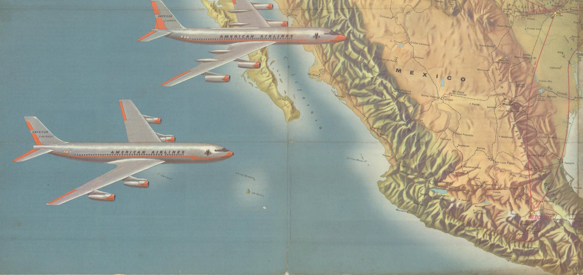
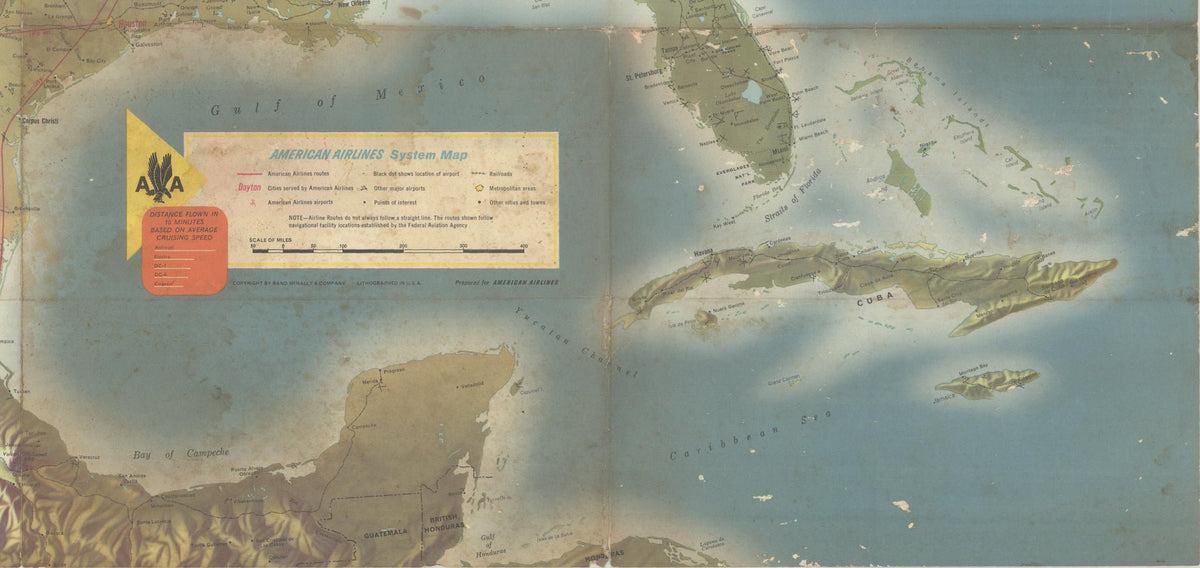
The American Airlines routes are highlighted in red throughout the United States and Mexico, spanning as far south as Mexico City. The distance, in miles, of the nonstop routes are labeled on each flight path. The legend at the bottom identifies cities served by American Airlines, American Airlines airports, other major airports, points of interest, railroads, metropolitan areas, and other cities and towns, providing travelers with a comprehensive overview of the nation's transportation infrastructure.
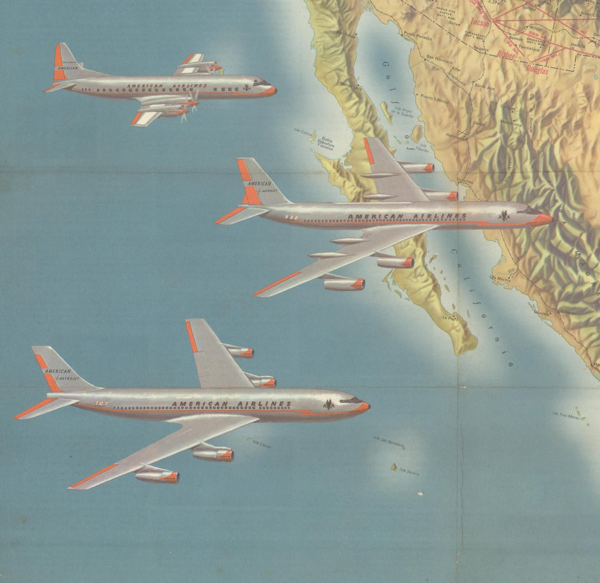
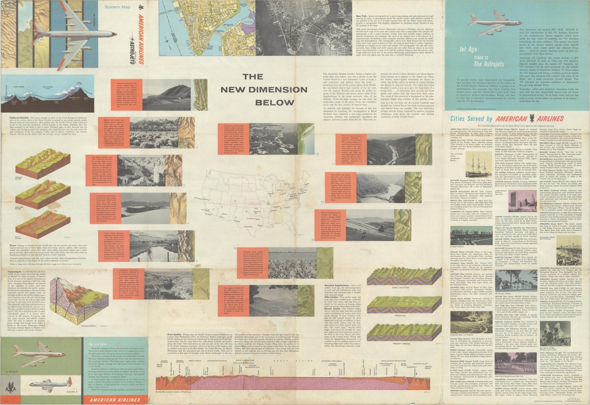
This handsome air route map highlights American Airlines’ new "Astrojets." Printed text on the map’s verso enthusiastically announces the arrival of "Jet Age: Stage II," promoting American Airlines' fleet of Boeing 707 Astrojets, introduced into service in 1961, while heralding the forthcoming Convair 990 Astrojet, scheduled to enter service early in 1962. At bottom left, the map shows an illustration of the 707 and a 909, alongside the smaller Elektra II for visual comparison. A diagram at bottom right shows how much distance each aircraft can cover in 10 minutes, based on average cruising speed, providing passengers with a rudimentary way to clock the duration of their jet-propelled flights.
American Airlines, founded in 1930 through the consolidation of numerous regional carriers, emerged as one of the nation's leading airlines during the postwar era. By the early 1960s, its investment in advanced jet aircraft dramatically expanded the speed, comfort, and accessibility of air travel, helping to reshape business and leisure transportation across North America.
CONDITION:
Very good condition. Color lithograph, printed color. Map was issued folding, with pictorial wrappers. Fold lines are present, light toning along the central fold and some tiny abrasions. Light to moderate staining and soiling, mostly in the bottom right quadrant of the map. A few short fold separations, including a 2.5" separation at top left, have been closed on verso with archival tape.
Archivally framed in a custom-built black wooden frame with acid-free black mats and UV Plexiglas.
Framed Dimensions: 28 1/8" H x 39" W x 1 1/4" D.
Accompanied by our company's letter of authenticity.
Pickup available at Colorado
Usually ready in 4 hours
"American Airlines System Map" by Rand McNally & Co., circa 1962
Colorado
1 Lake Avenue
Colorado Springs CO 80906
United States
Choose options
Frequently Asked Questions
FAQs
Yes, all of our Antiques are certified authentic. Every antique comes with a signed Letter of Authenticity that details the item’s history, its current condition including any conservation, binding, or framing work, and the item’s provenance. The Letters of Authenticity are priced valuations by our authentication specialists, who assure that items are original and unconditionally guaranteed as genuine for life.
We pack and ship your items from our gallery in Colorado Springs. You may also choose to come pick up your order. Antique items are carefully packed and insured during shipping. The shipping price will be calculated at checkout.
We acquire from a variety of trusted sources all over the world, but mostly through auctions and private collections within the United States. All provenance information will be listed on the Letter of
Authenticity accompanying your purchase.