
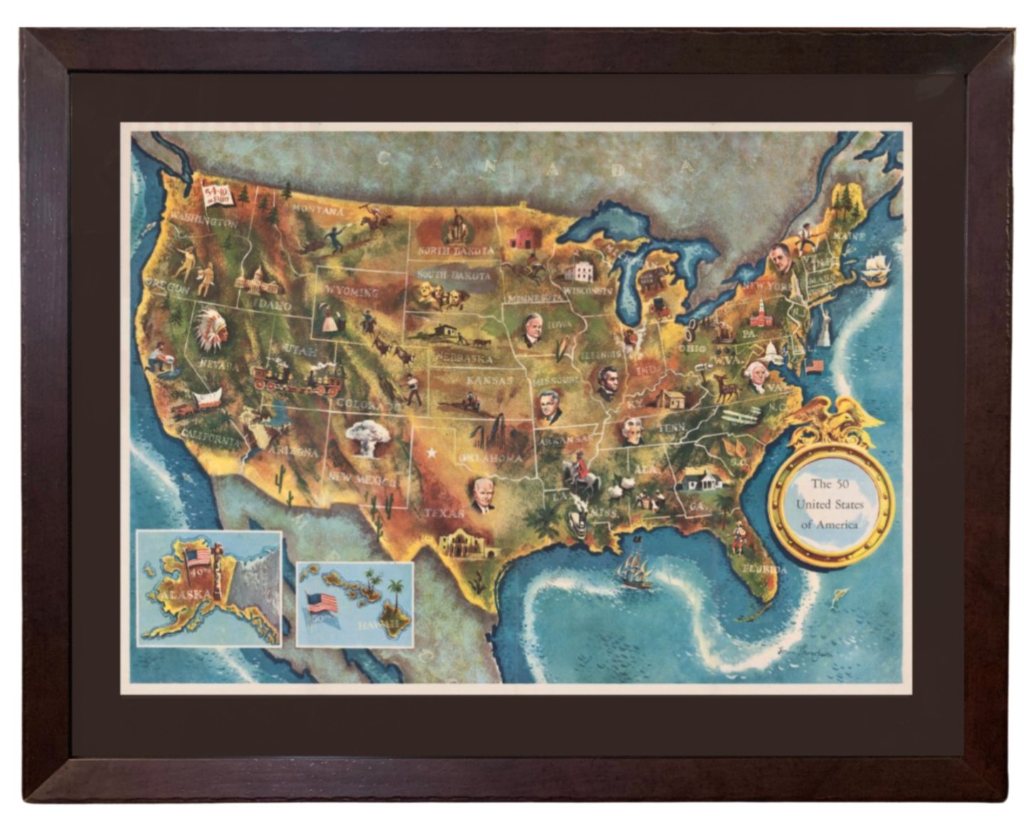
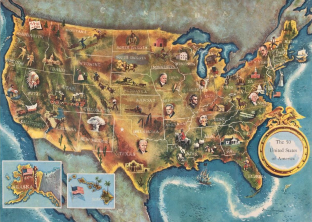
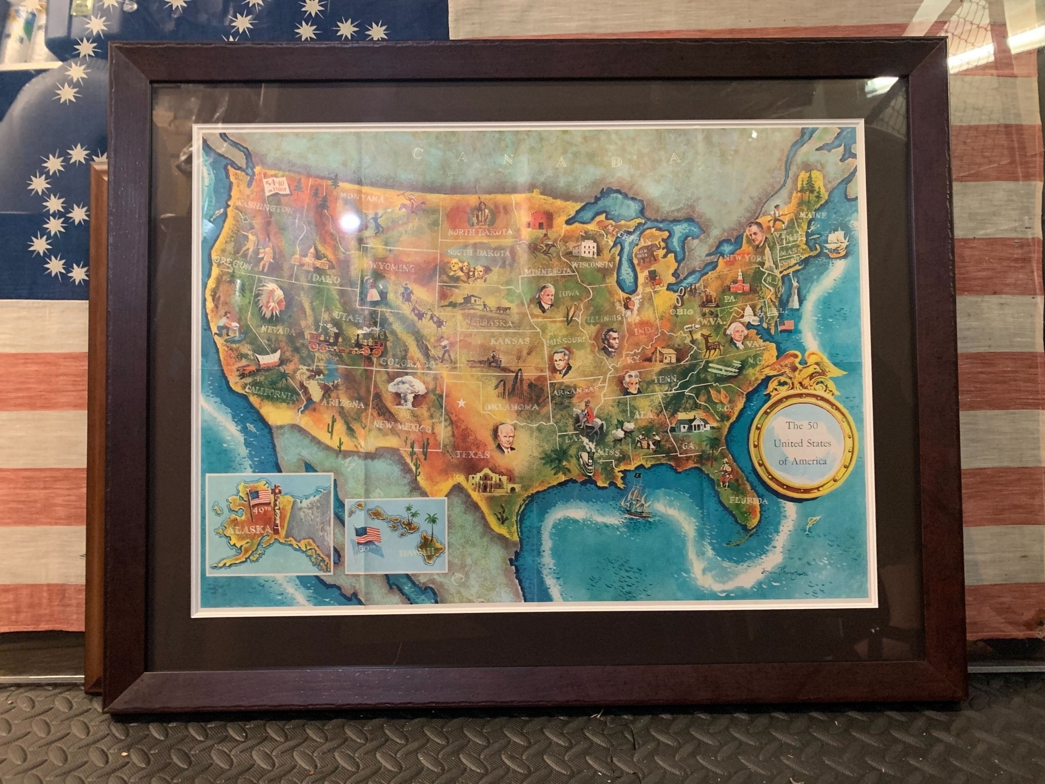
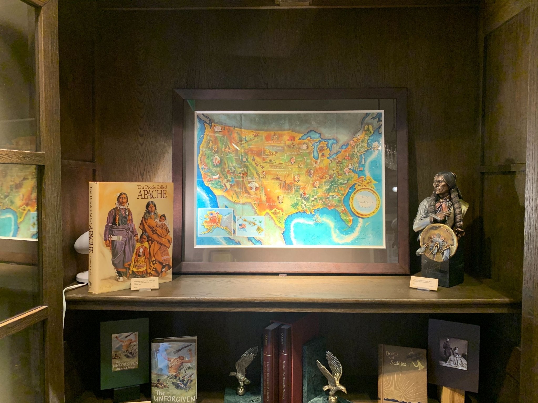
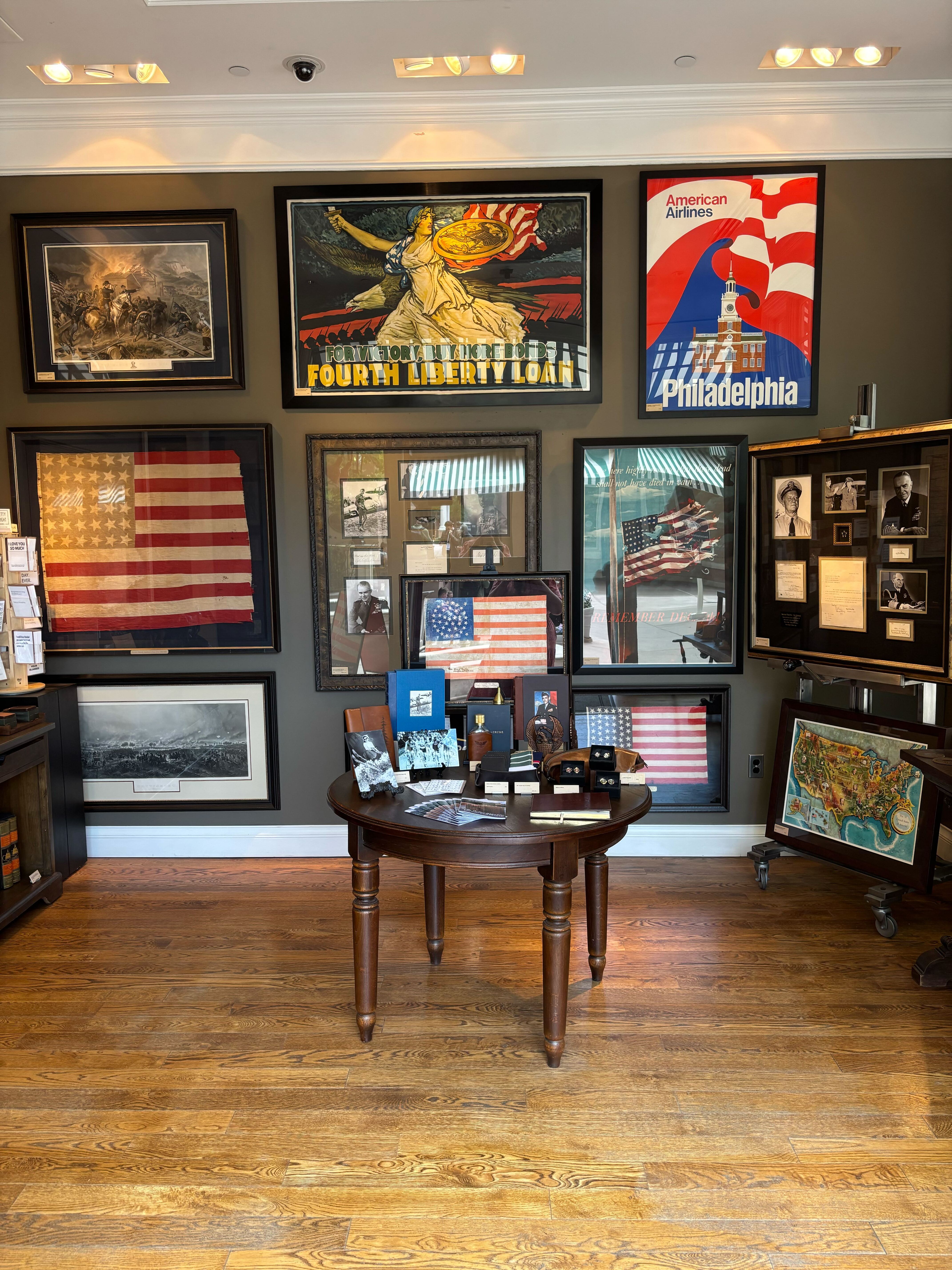
1960 "The 50 United States of America" Pictorial Map by Lorin Thompson
This colorful map of the United States was drawn by Lorin Thompson and published by the General Foods Corporation in 1960. The map was issued as a promotional pamphlet in advance of the 1960 presidential election. The cover title for the pamphlet reads: "Election Map and 1960 Presidential Fact Sheet...Yours Free with Any Purchase of Gravy Train."
The map has a unique pictorial style with bright colors and dynamic illustrations celebrating key moments of American history. The map is illustrated with past presidents, Native Americans, depictions of the "Golden Spike" in Utah, gold mining in California, Kitty Hawk, and more. Important landmarks like the White House, Statue of Liberty, and Alamo are shown, as well as indicators of a booming agriculture and industry sector. At bottom left, viewers will find two inset maps of Hawaii and Alaska, with small American flags noting they were the 49th and 50th states added to the Union.
The verso shows portraits of the two 1960 Presidential candidates, Kennedy and Nixon, following short biographies of the candidates. A large 1960 election scoreboard encourages “the whole family to join in the fun of predicting which Presidential Candidate will win in each state.” It also has a section highlighting every previous American president as well as a large key to the 54 illustrations on the front of the map. Meant to function as an election map and tracker, the pamphlet functioned as a free promotional offer for Gravy Train dog food.
Originally developed by General Foods, Gravy Train was introduced in 1959 and trademarked in 1960. It was the first brand of dog food to have a brown gravy form when water was added to the dry kibble. The advertising catchphrase was "the gravy taste dogs can't wait to finish." With a series of successful commercials and printed advertisements just like this pamphlet, Gravy Train quickly became a household name.
CONDITION:
Very good condition. A clean and colorful example, issued folding. Vibrant color with almost no fading. Paper is healthy. Original fold lines, as expected. Unframed Dimensions: 17 ⅞” H x 24 ⅞” W.
Map has been artfully framed in a custom built wooden frame with acid free mats and UV glass. Framed Dimensions: 25" H x 31 3/4" W x 1 1/8" D.
Accompanied by our company's letter of authenticity.
Pickup available at Colorado
Usually ready in 4 hours
1960 "The 50 United States of America" Pictorial Map by Lorin Thompson
Colorado
1 Lake Avenue
Colorado Springs CO 80906
United States
Choose options
Frequently Asked Questions
FAQs
Yes, all of our Antiques are certified authentic. Every antique comes with a signed Letter of Authenticity that details the item’s history, its current condition including any conservation, binding, or framing work, and the item’s provenance. The Letters of Authenticity are priced valuations by our authentication specialists, who assure that items are original and unconditionally guaranteed as genuine for life.
We pack and ship your items from our gallery in Colorado Springs. You may also choose to come pick up your order. Antique items are carefully packed and insured during shipping. The shipping price will be calculated at checkout.
We acquire from a variety of trusted sources all over the world, but mostly through auctions and private collections within the United States. All provenance information will be listed on the Letter of
Authenticity accompanying your purchase.