1928 "Map of Rock Island Lines and Connections" United States Railroad Map by The Poole Brothers
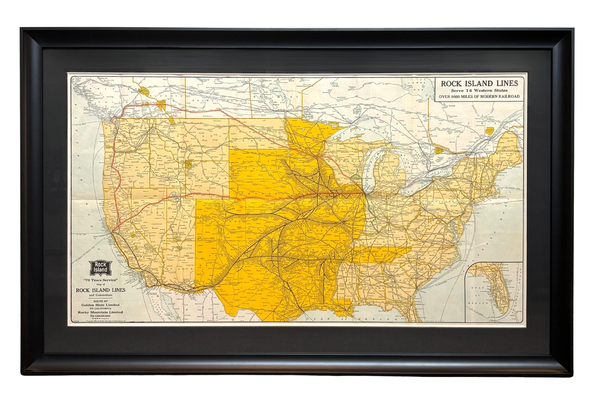
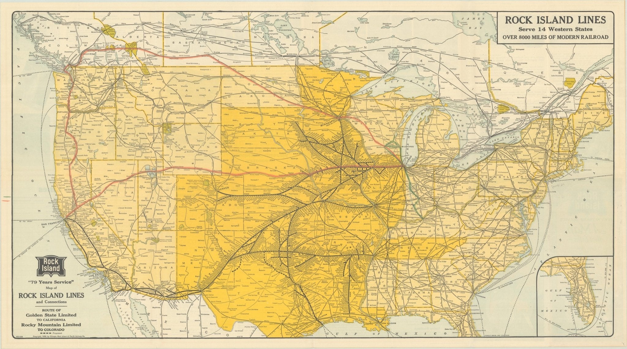
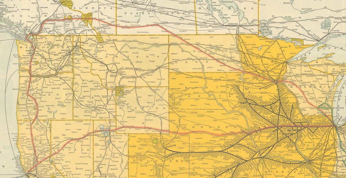
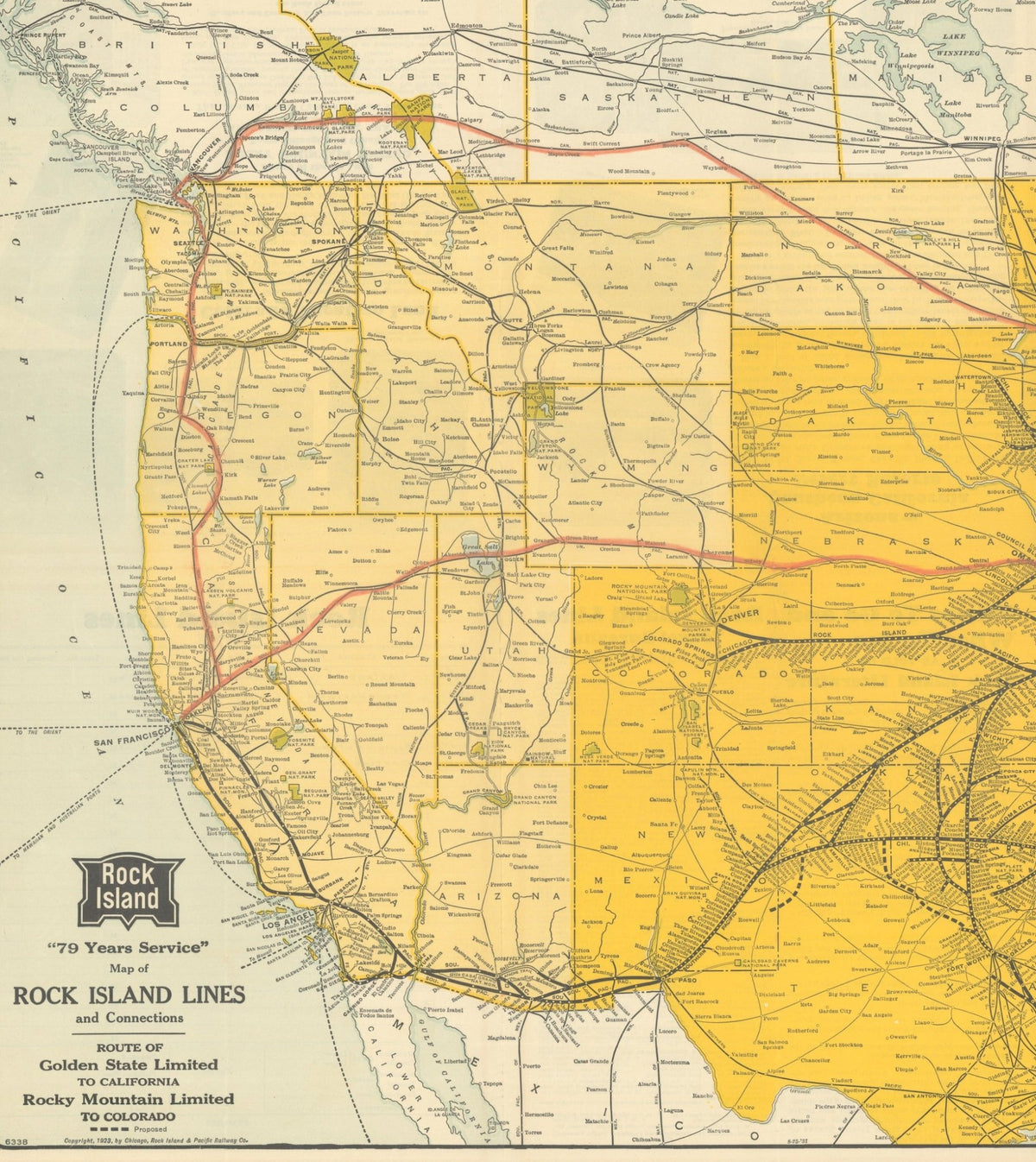
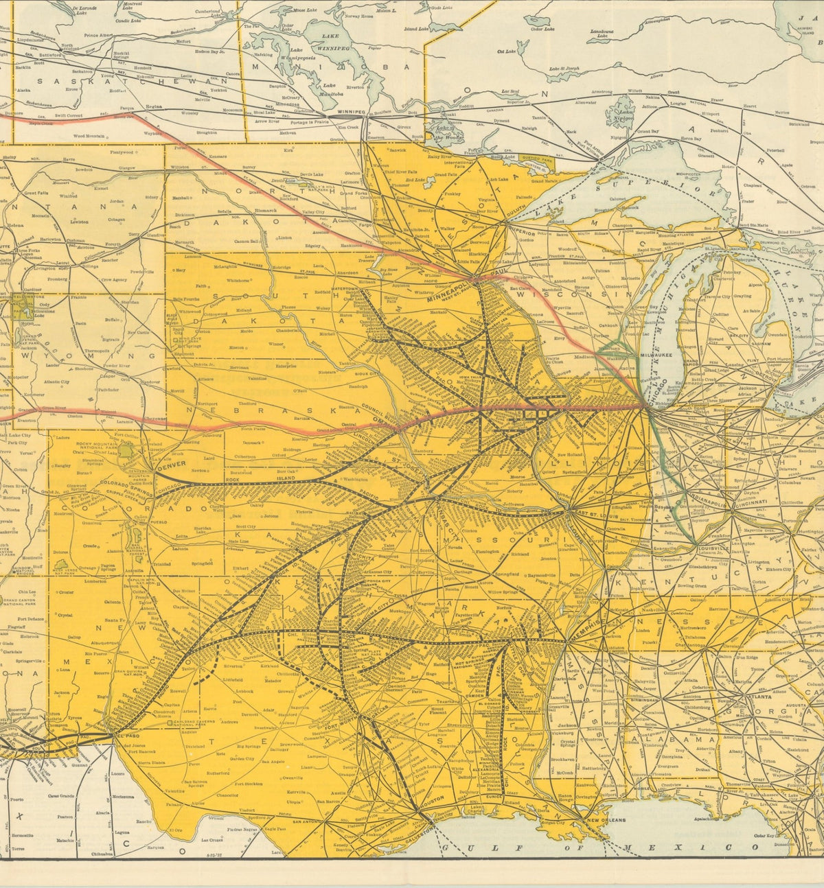
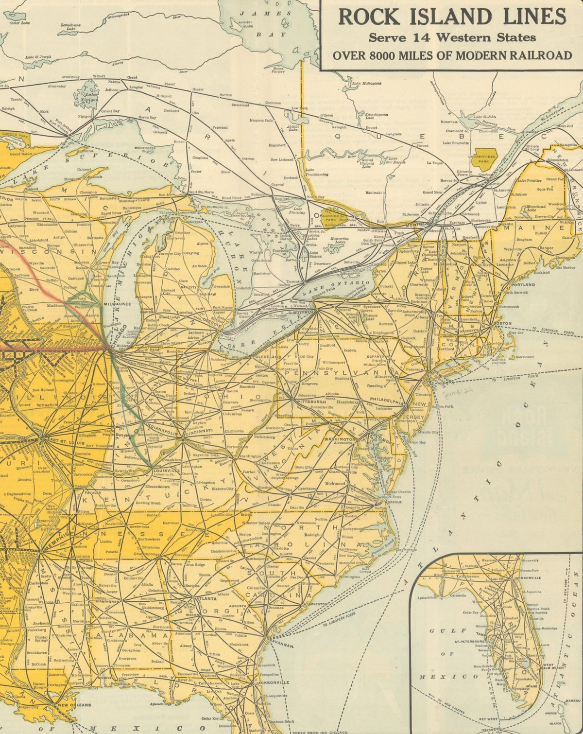
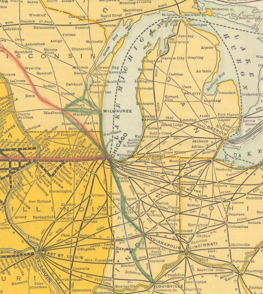
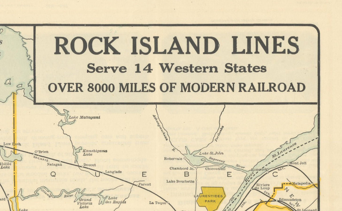
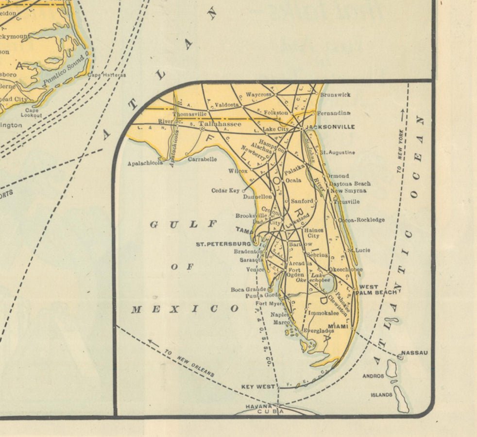
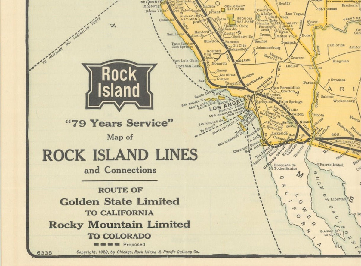
Presented is a 1928 "Map of Rock Island Lines and Connections: Route of Golden State Limited to California, Rocky Mountain Limited to Colorado." This large promotional map for the Chicago, Rock Island, and Pacific Railroad, also known as the Rock Island Line, was published by the Poole Brothers in Chicago. It delineates the railway's many routes branching from its headquarters in Chicago. The jointly operated western lines, the Golden State Limited and the Rocky Mountain Limited, are also traced.
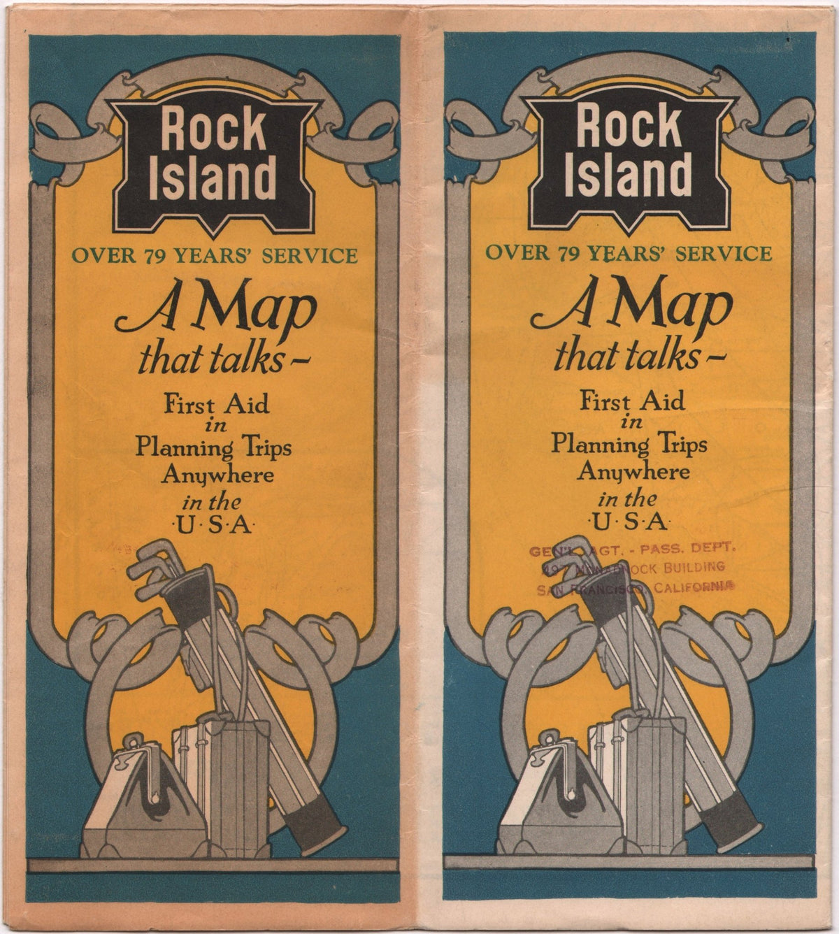
This railroad map of the United States was originally issued as a folding map, with pictorial covers that note that this is "A Map that Talks - First Aid in Planning Trips Anywhere in the U.S.A." Not only is every stop identified along the Rock Island Line train routes, but the large map also does a great job of identifying other connecting train routes and ports throughout the country and even into Canada. Prominent towns and cities in each state are marked, as are important rivers and lakes. National parks are also colorfully depicted in green.
Chartered in February of 1851 as the Chicago and Rock Island Railroad, the Rock Island Line grew into one of the most important railroad systems in the American Midwest. Its first train operated on October 10, 1852, between Chicago and Joliet, Illinois. It reached the Mississippi River at Rock Island, Illinois, in 1854, becoming the first railroad to connect Chicago with the river. Renamed the Chicago, Rock Island and Pacific Railroad in 1866, it expanded steadily through acquisitions and new construction, ultimately operating “over 8,000 miles of modern railroad” across fourteen states, with major routes linking Chicago to Denver, Colorado Springs, Minneapolis, St. Paul, Kansas City, Memphis, Fort Worth, Galveston, and Tucumcari.
The railroad carried a wide range of passengers, including business travelers, settlers, and tourists, while also transporting agricultural crops, livestock, coal, and manufactured goods that fueled the economic growth of the region. After decades of financial challenges and changing transportation patterns, The railroad ceased operations in 1980, after decades of financial challenges and changing transportation patterns.
Based in Chicago, the Poole Brothers were active in the late 19th and early 20th century, with a primary publishing focus of railroad and travel maps. In 1868, George Amos Poole along with his uncle William H. Rand and Andrew McNally formed a partnership that purchased the printing plant of the Chicago Tribune. This partnership later incorporated under the name Rand, McNally & Co. with George serving as its treasurer. George then left the Rand McNally organization to form Poole Brothers with his brother William H. Poole. Poole Brothers was a direct competitor to Rand McNally for the lucrative railroad business. Like many of its competitors, Poole Brothers maintained an office on Chicago's Printer's Row, located in the downtown Loop district. According to a 1918 issue of The Inland Printer, the firm was seriously engaged in “printing for transportation companies, with a patronage that included practically every railroad in the country." Poole Brothers later expanded to print periodicals, including Advertising Age and the New England Journal of Medicine.
CONDITION:
Very good + condition. Issued folding, on a clean sheet with full margins. Printed color, in pale and bright yellow, blue, and green. The color is bright, with only light fading. The map has later manuscript notations along several route lines, in red and green pencil, from past owner. “Poole Bros. Inc. Chicago” printed at lower right margin. “Copyright, 1928, by Chicago, Rock Island & Pacific Railway Co.” printed at bottom left margin.
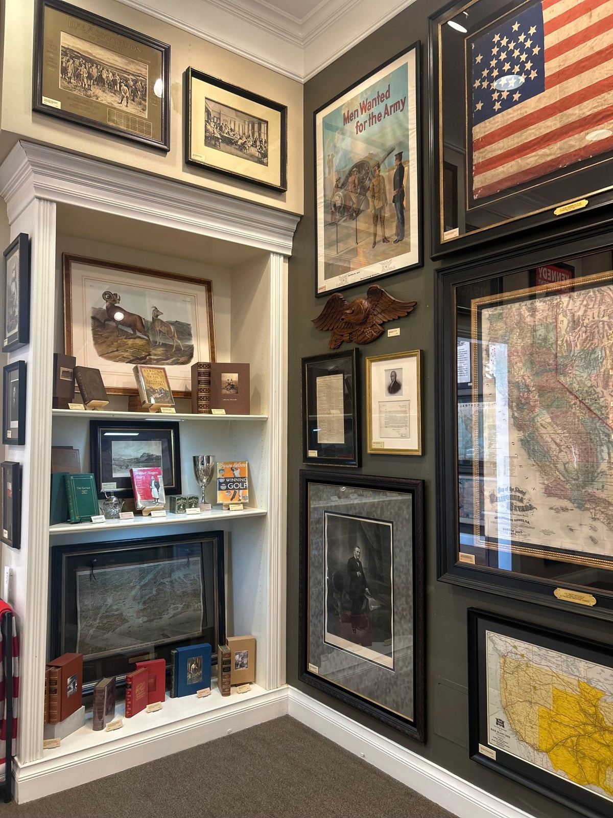
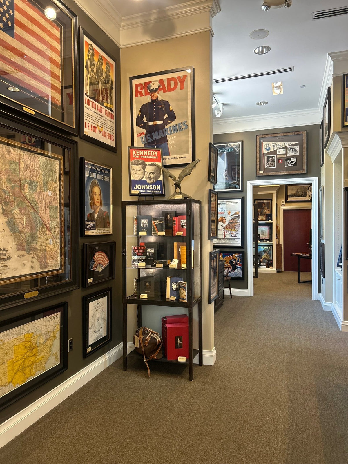
The map is archivally framed in acid-free black top mats, UV glass, and a custom-built black wooden frame.
Framed Dimensions: 23 1/2" H x 37 1/4" W x 1 3/8" D.
Pickup available at Colorado
Usually ready in 4 hours
1928 "Map of Rock Island Lines and Connections" United States Railroad Map by The Poole Brothers
Colorado
1 Lake Avenue
Colorado Springs CO 80906
United States
Choose options
Frequently Asked Questions
FAQs
Yes, all of our Antiques are certified authentic. Every antique comes with a signed Letter of Authenticity that details the item’s history, its current condition including any conservation, binding, or framing work, and the item’s provenance. The Letters of Authenticity are priced valuations by our authentication specialists, who assure that items are original and unconditionally guaranteed as genuine for life.
We pack and ship your items from our gallery in Colorado Springs. You may also choose to come pick up your order. Antique items are carefully packed and insured during shipping. The shipping price will be calculated at checkout.
We acquire from a variety of trusted sources all over the world, but mostly through auctions and private collections within the United States. All provenance information will be listed on the Letter of
Authenticity accompanying your purchase.