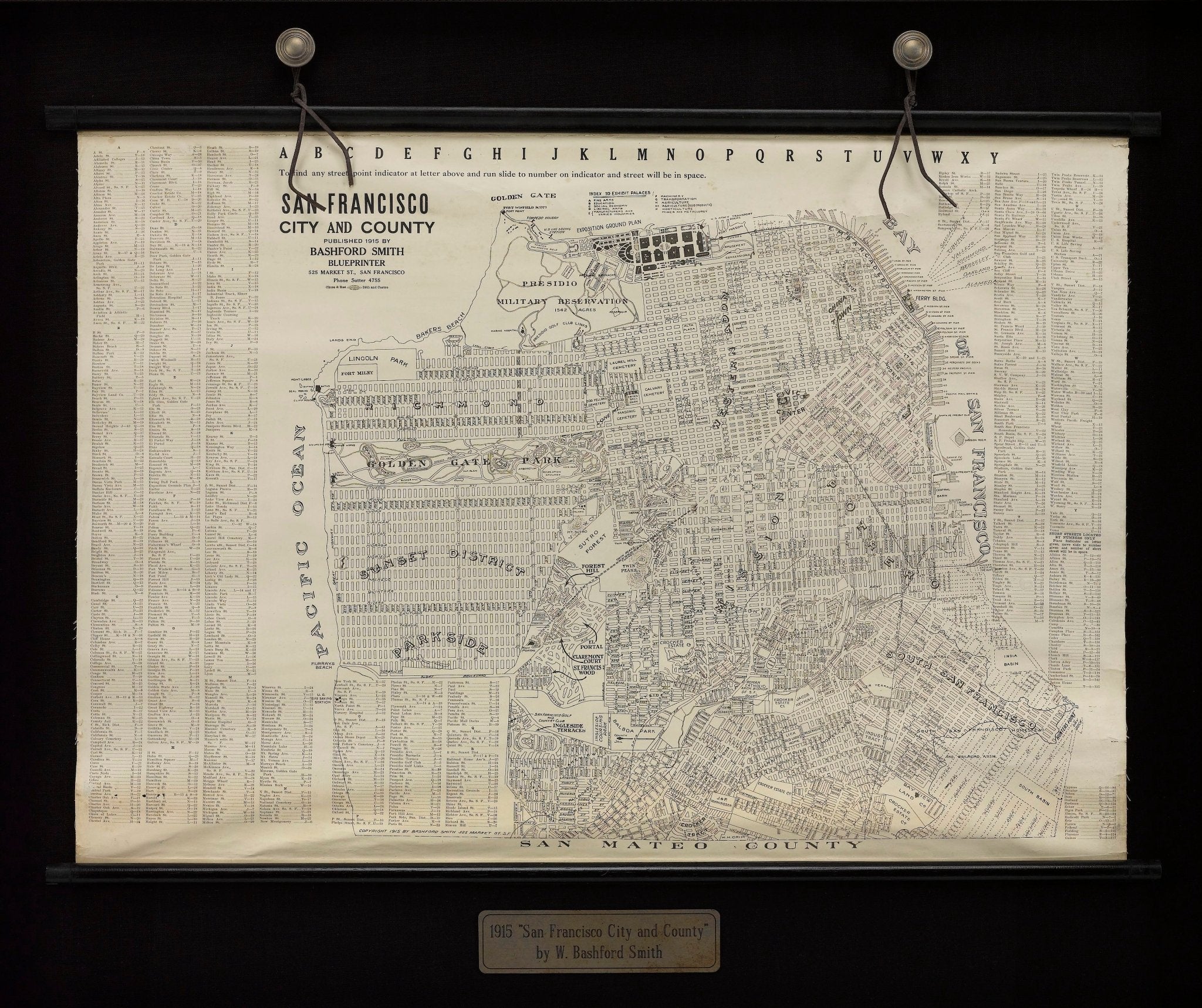
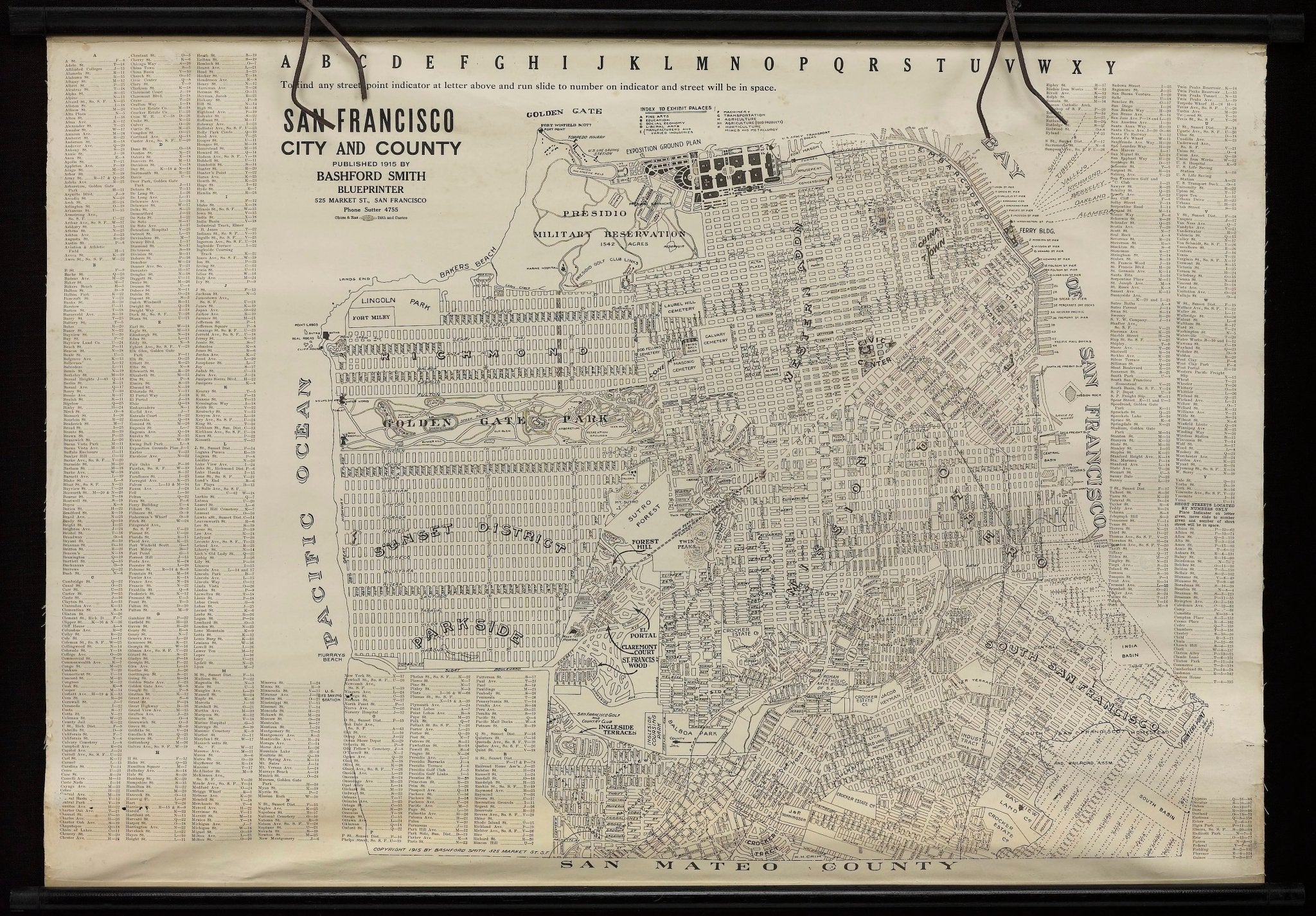
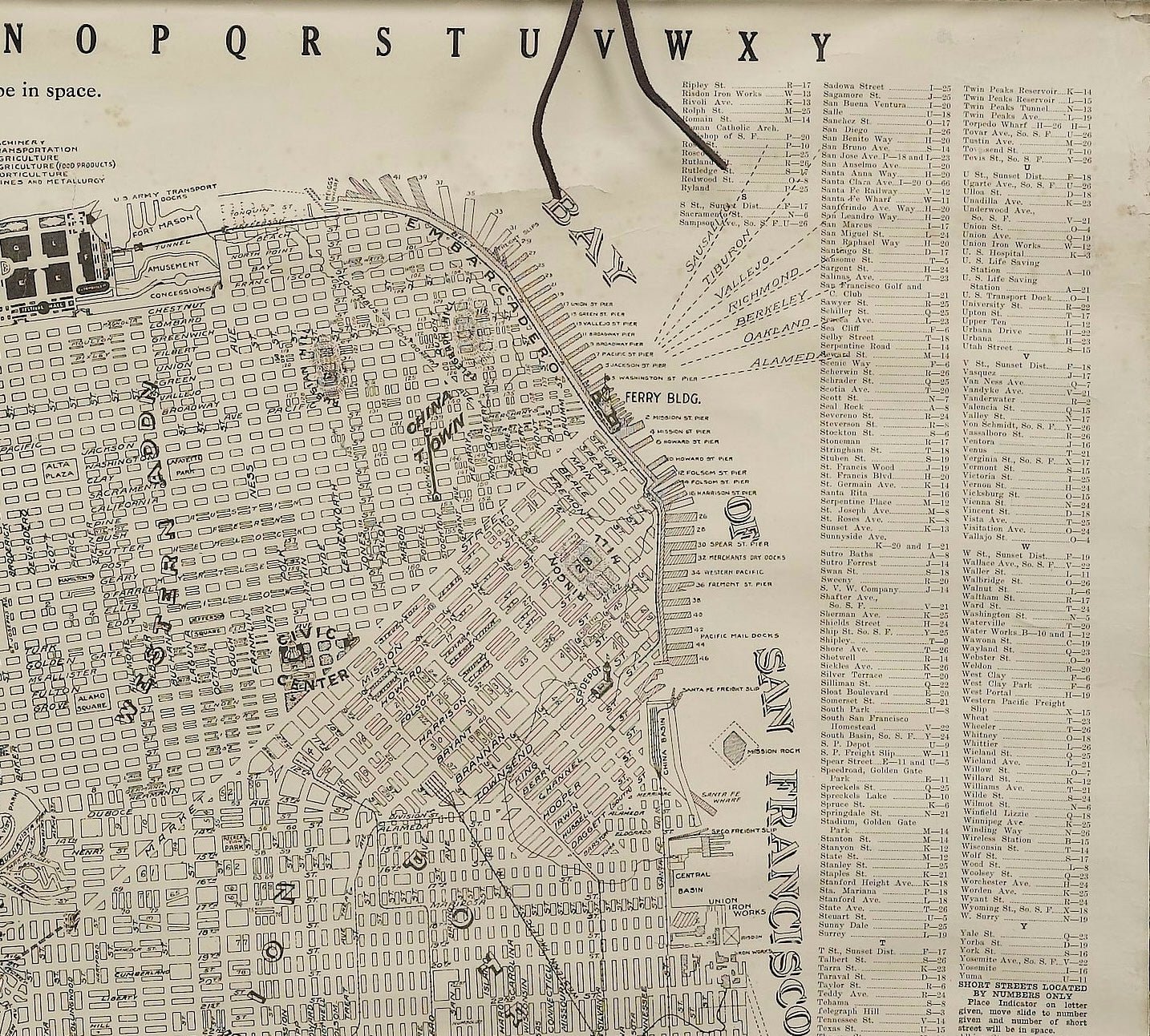
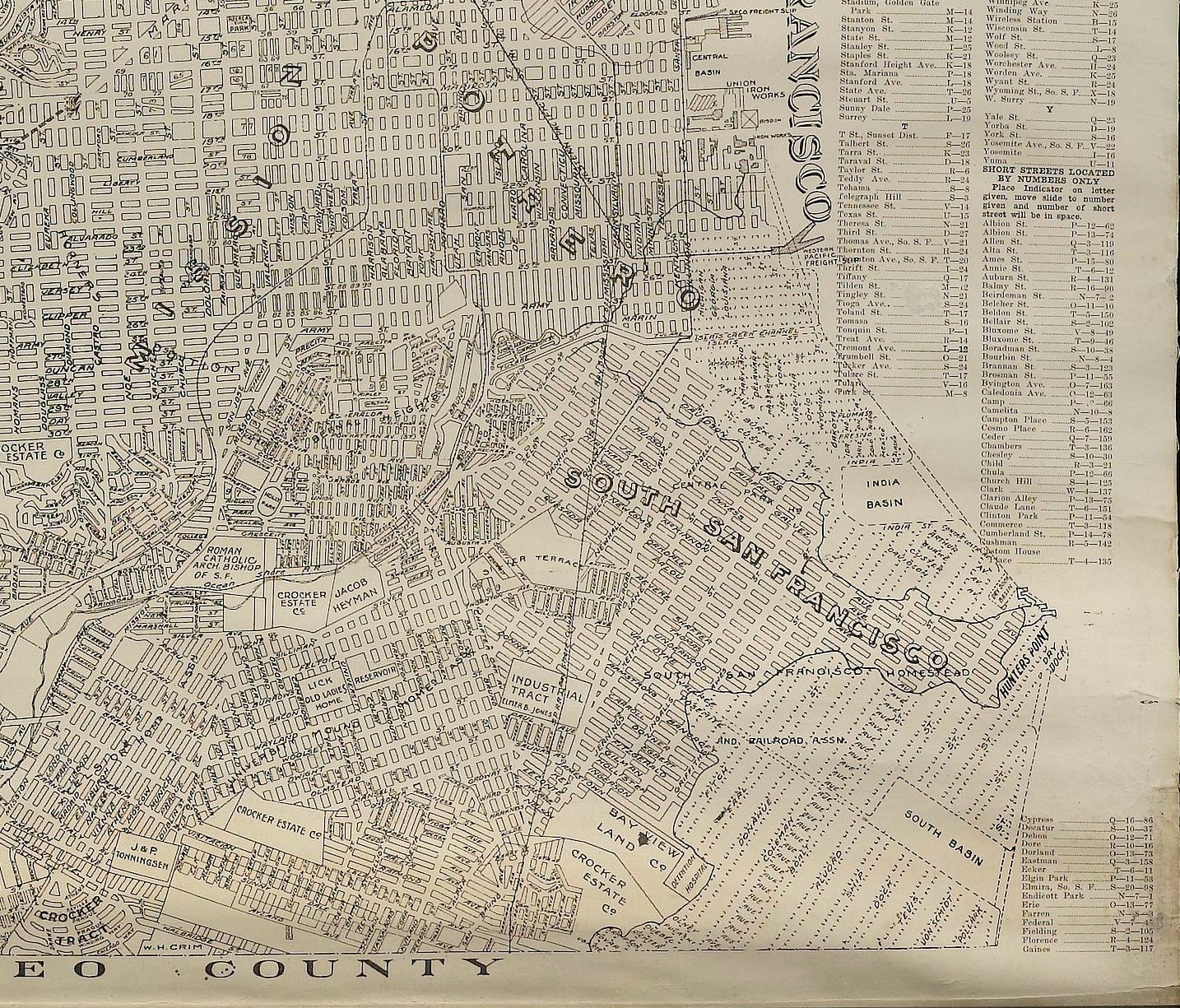
1915 "San Francisco City and County" Hanging Map by W. Bashford Smith
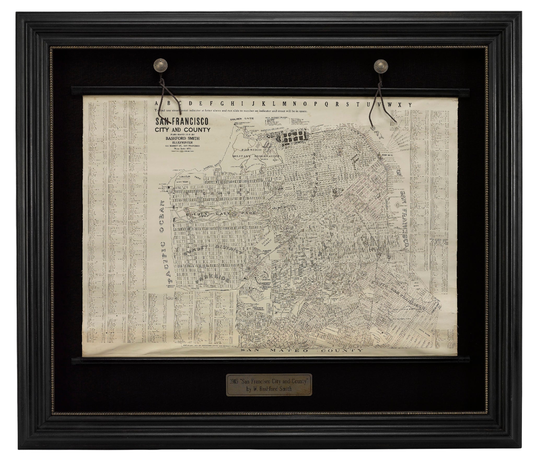
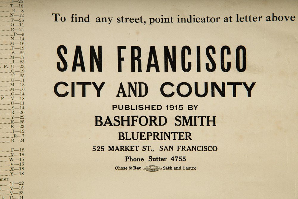
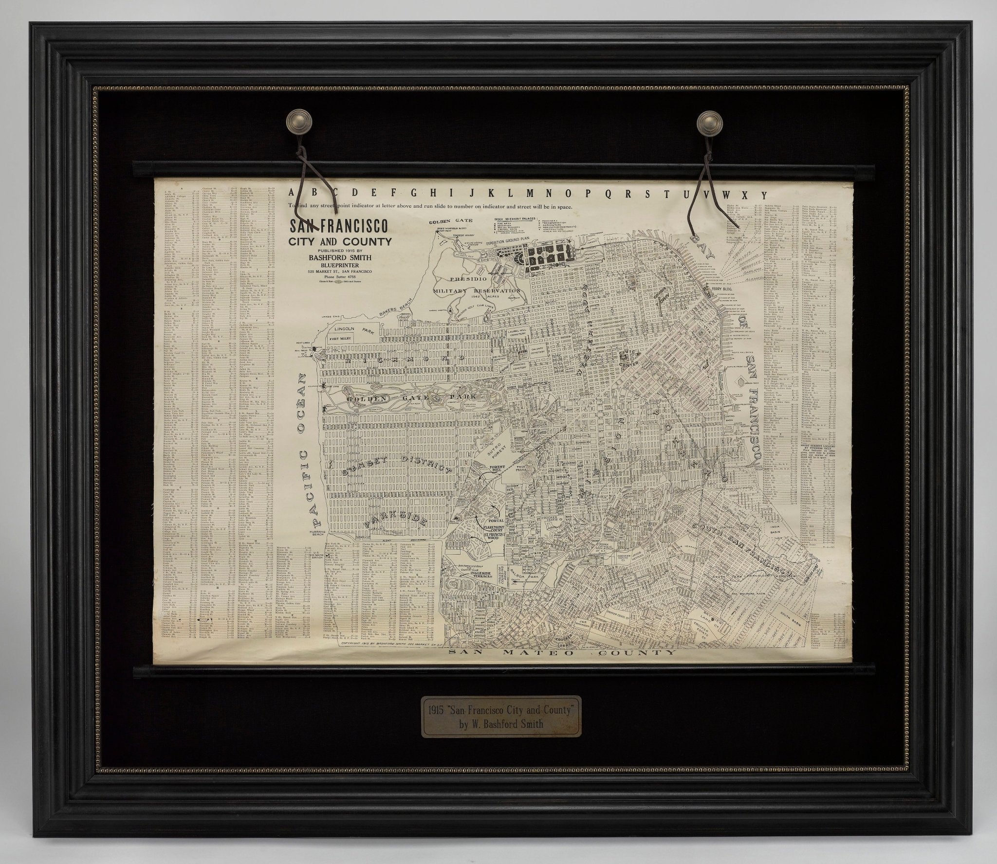
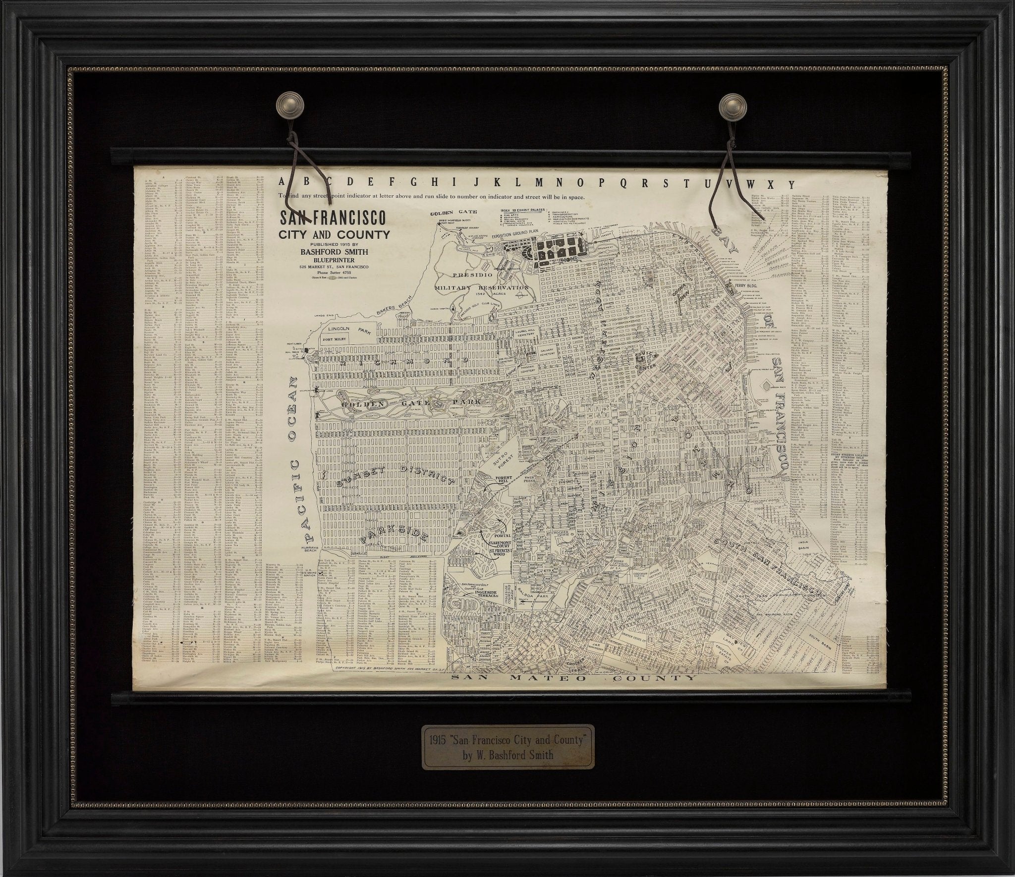
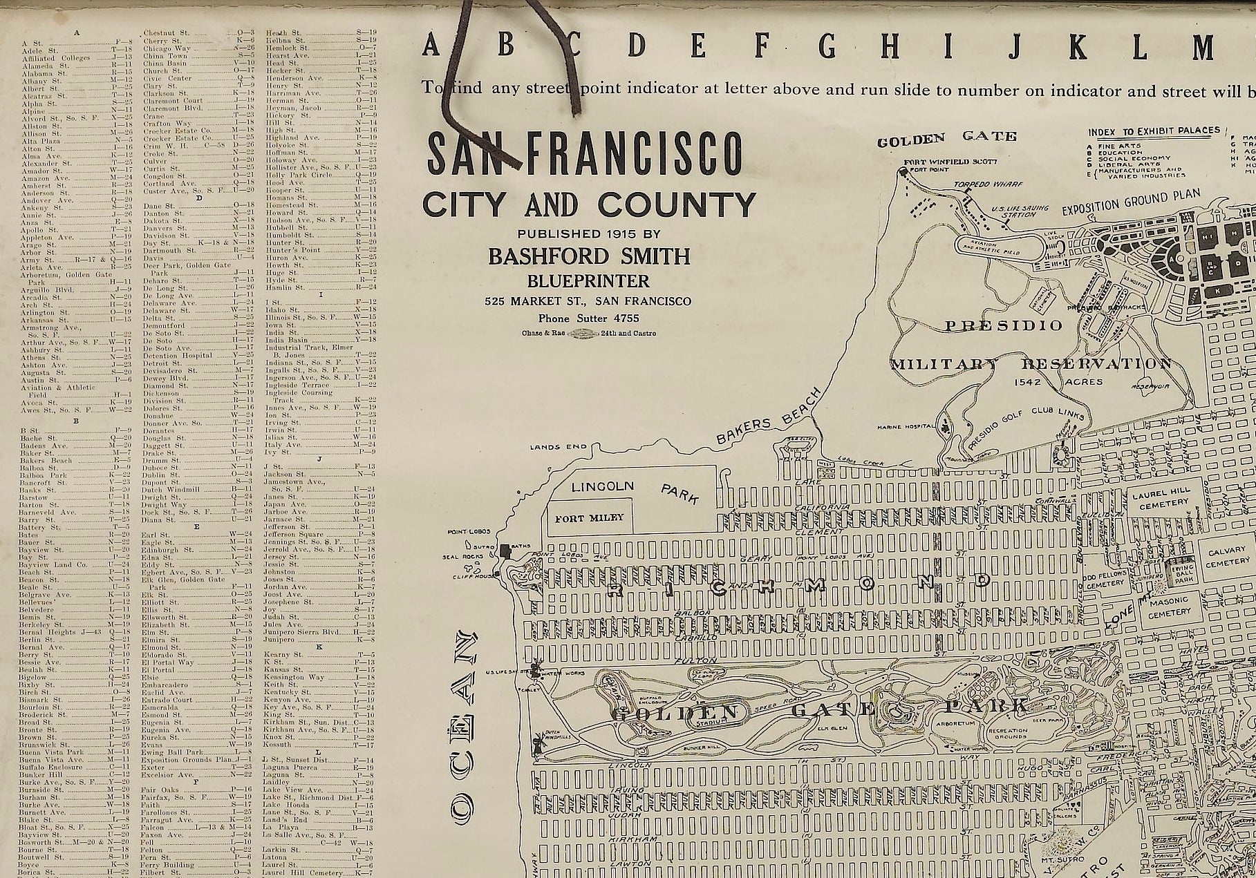
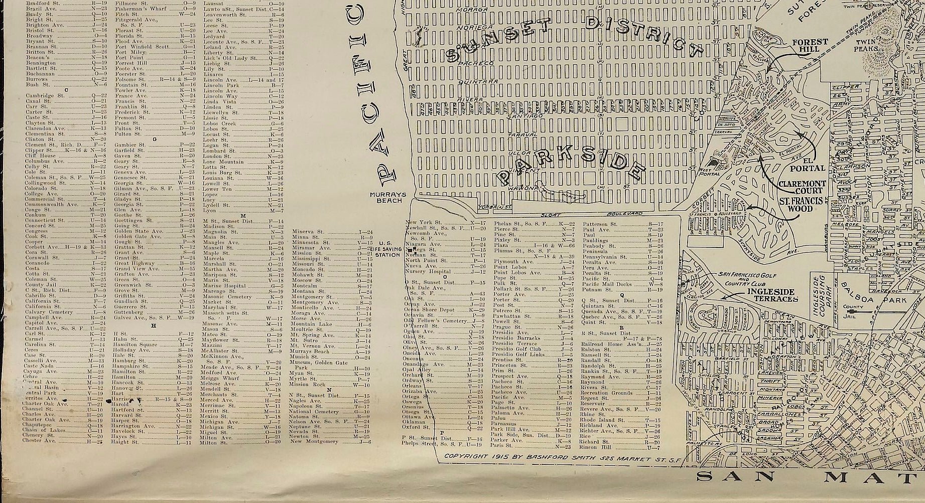
Presented is a rare wall map of San Francisco, California by W. Bashford Smith. Published in San Francisco in 1915, this map indicates streets and city districts, and, most notably, shows the site of the Panama-Pacific International Exposition, with a smaller guide to "Exhibit Palaces." The map is printed in black and white and is surrounded by a large index of city street names. Based on OCLC records, this map was issued in at least two sizes: a smaller sheet map and a larger wall map on rollers, as seen here.
In 1915, San Francisco hosted the world's fair called the Panama-Pacific International Exposition. The expansive fair stretched along two and a half miles of waterfront property. The fair celebrated a great American achievement– the triumphant completion of the Panama Canal. It also highlighted San Francisco’s grandeur and successful rebuild after the terrible earthquake of 1906. Nine years earlier, San Francisco experienced one of the worst national disasters to date– a 7.9 magnitude earthquake and resulting fires that destroyed over 80% of the city. The city overcame great challenges to rebuild and welcome the world by the time the Exposition opened in 1915.
Between February and December 1915, over 18 million people visited the fair. Fairgoers attended scientific and educational presentations, explored international pavilions, and enjoyed displays of advancements in science, art, racing, and technology. The Panama-Pacific International Exposition was the first world’s fair to demonstrate a transcontinental telephone call, to promote wireless telegraphy, and to endorse the use of the automobile.
CONDITION:
Very good condition. Wall map, printed in black and white, on wooden rollers.Paper is healthy. Light toning. Creasing to margins, from past use and storage as a rolled map. Scattered tiny black spots, contained mostly to the index and outer margins.
Map has been artfully mounted, hanging, inside a custom wooden frame, with linen mats, and UV Plexiglas. Framed Dimensions: 39 1/2" H x 45 1/2" W x 3 1/4" D.
Accompanied by our company's letter of authenticity.
Pickup available at Colorado
Usually ready in 4 hours

1915 "San Francisco City and County" Hanging Map by W. Bashford Smith
Colorado
1 Lake Avenue
Colorado Springs CO 80906
United States
Choose options


Frequently Asked Questions
FAQs
Yes, all of our Antiques are certified authentic. Every antique comes with a signed Letter of Authenticity that details the item’s history, its current condition including any conservation, binding, or framing work, and the item’s provenance. The Letters of Authenticity are priced valuations by our authentication specialists, who assure that items are original and unconditionally guaranteed as genuine for life.
We pack and ship your items from our gallery in Colorado Springs. You may also choose to come pick up your order. Antique items are carefully packed and insured during shipping. The shipping price will be calculated at checkout.
We acquire from a variety of trusted sources all over the world, but mostly through auctions and private collections within the United States. All provenance information will be listed on the Letter of
Authenticity accompanying your purchase.

