
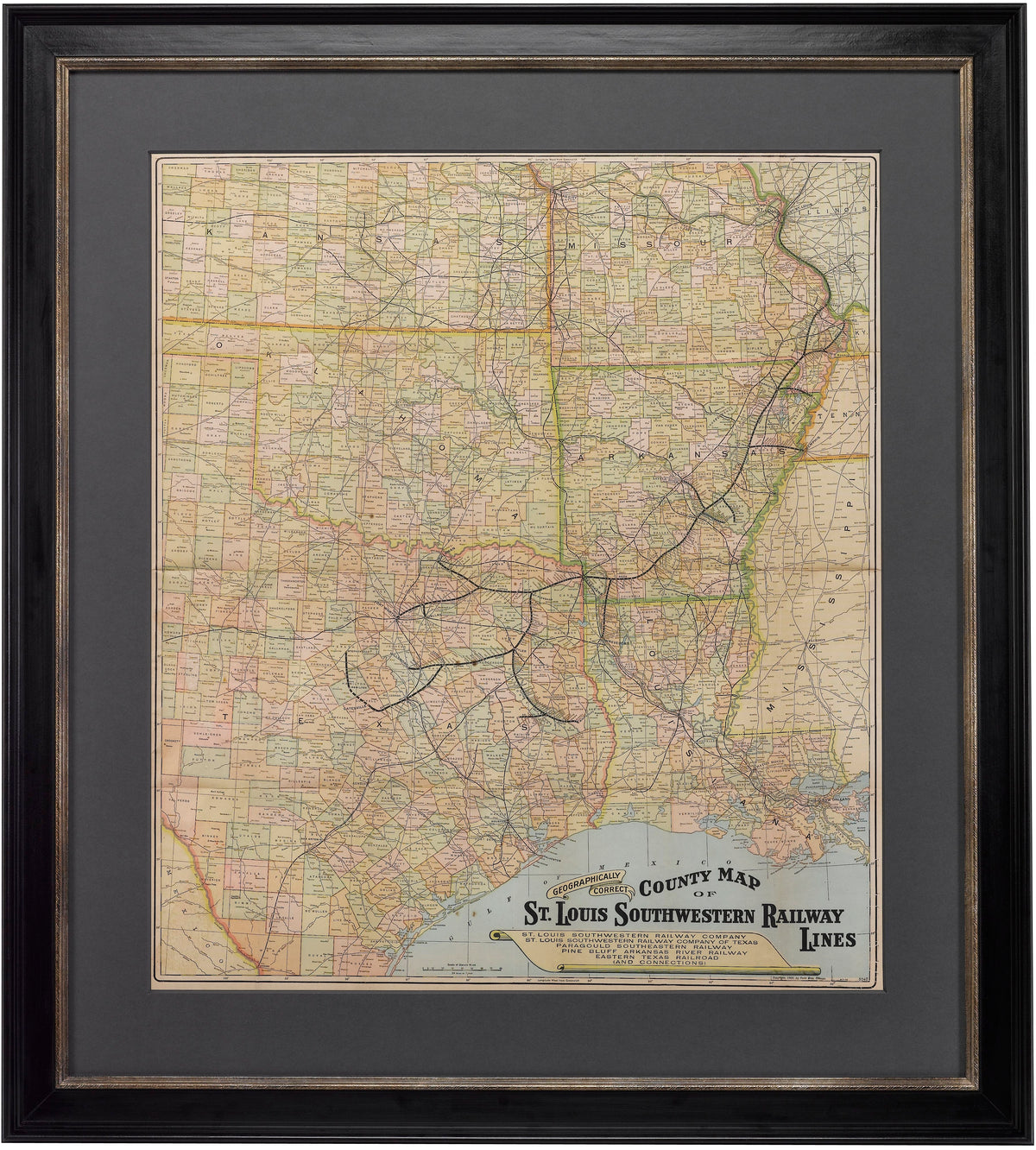
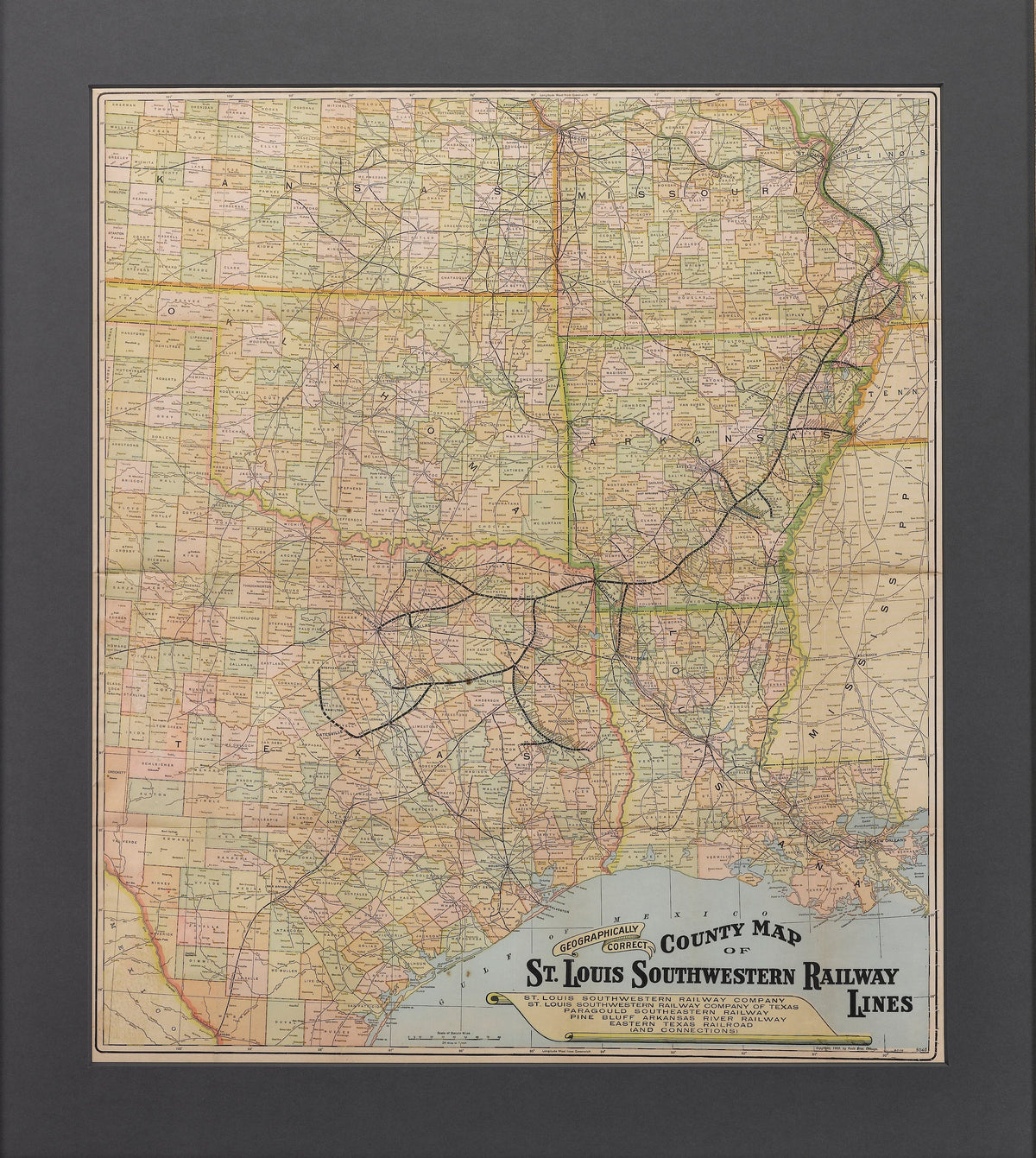
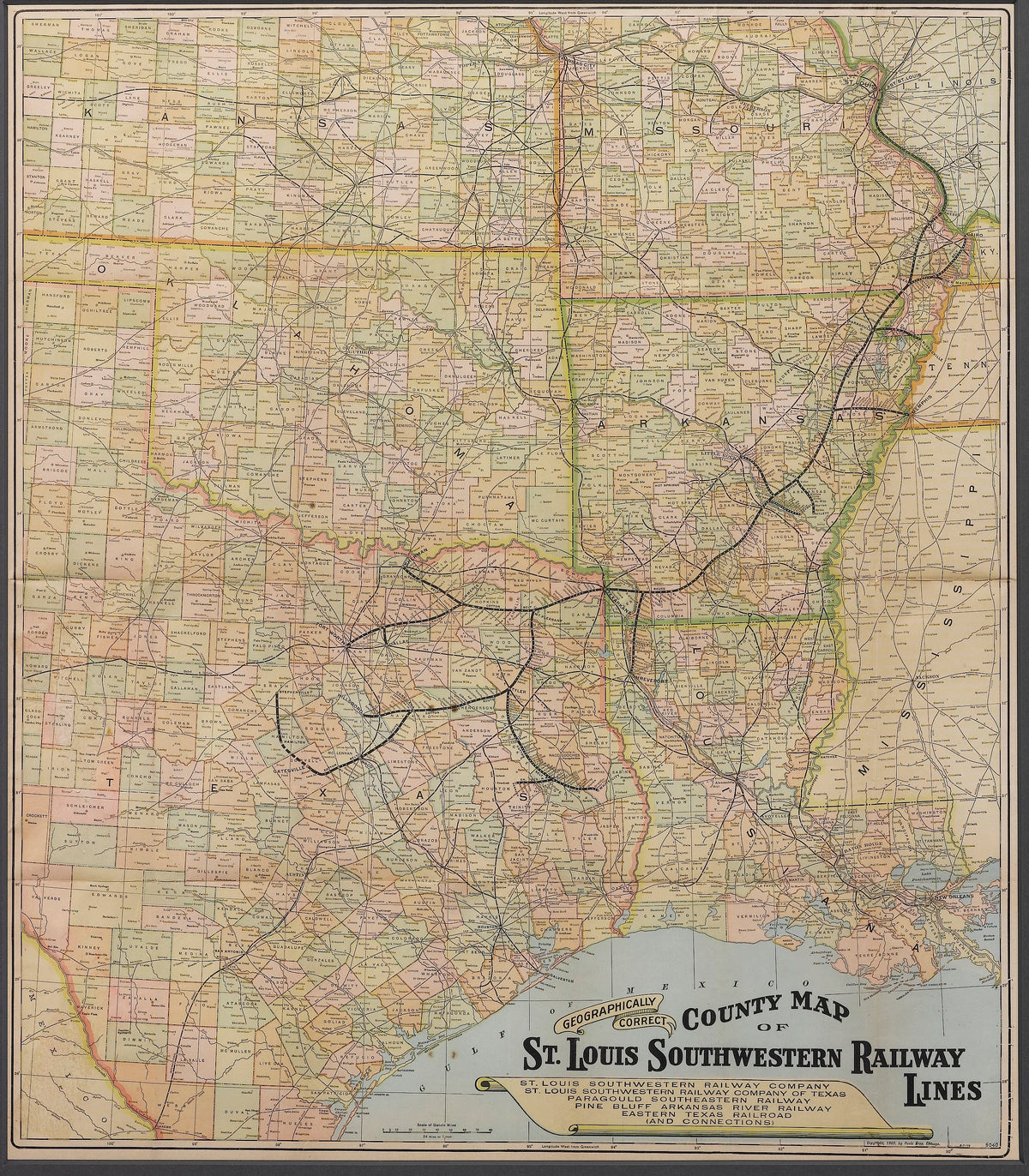
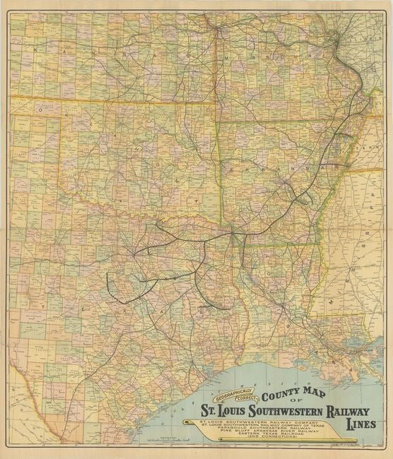
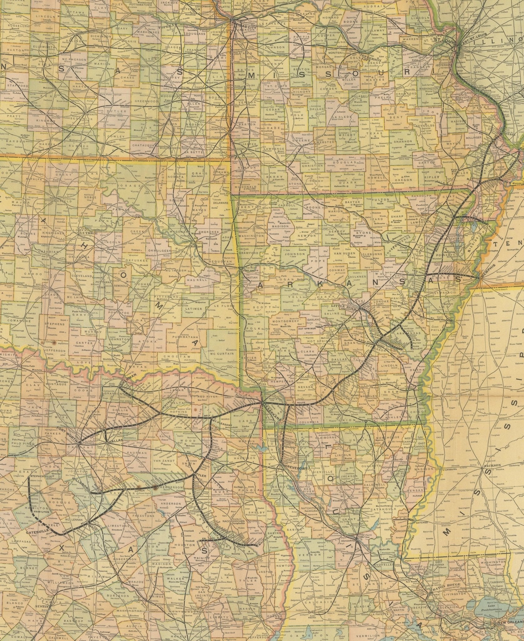
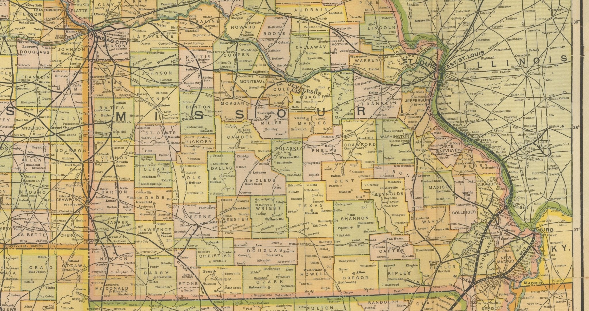
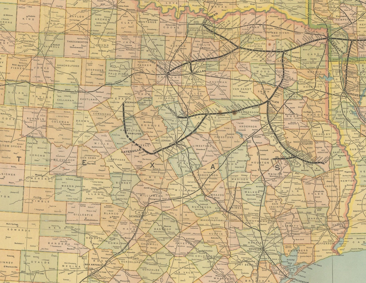
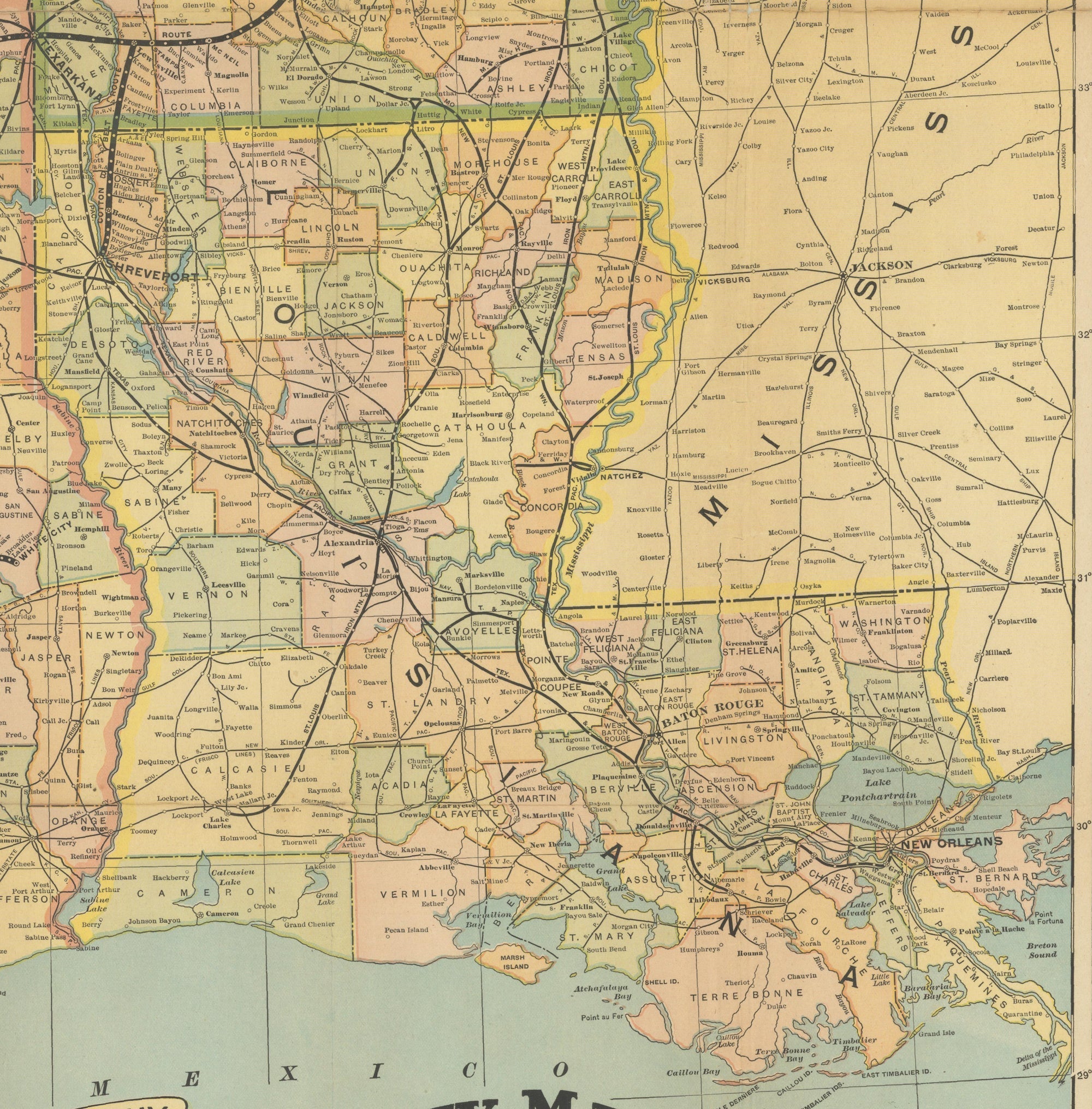
1909 "Geographically Correct County Map of St. Louis Southwestern Railway Lines" by Poole Bros.
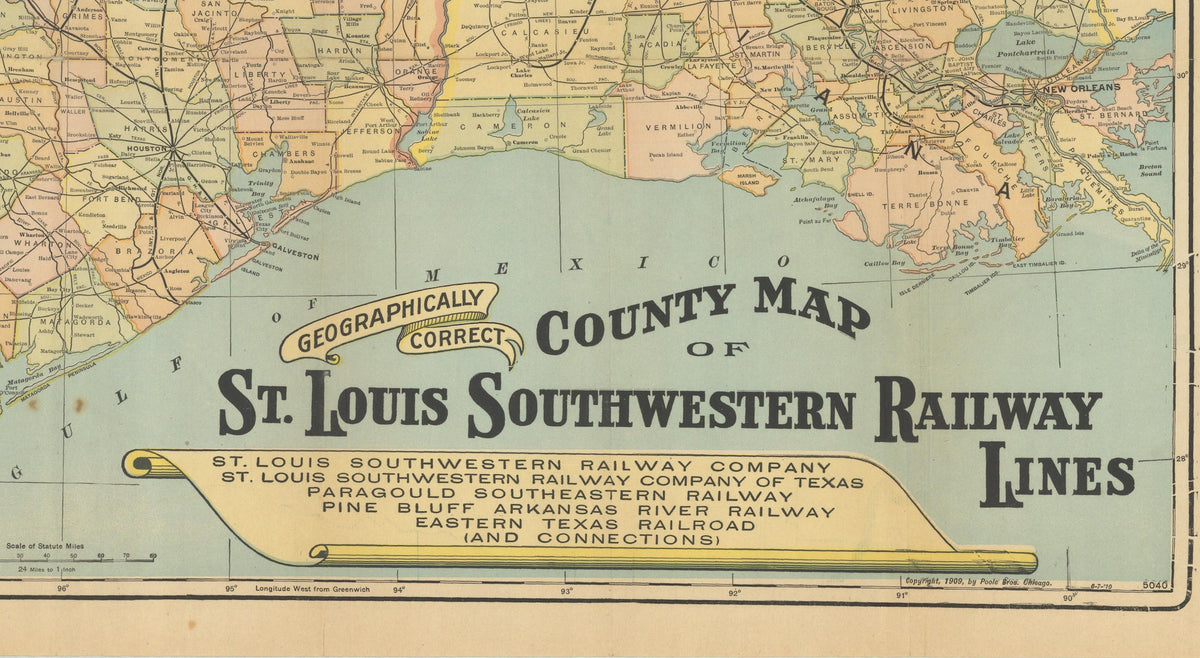
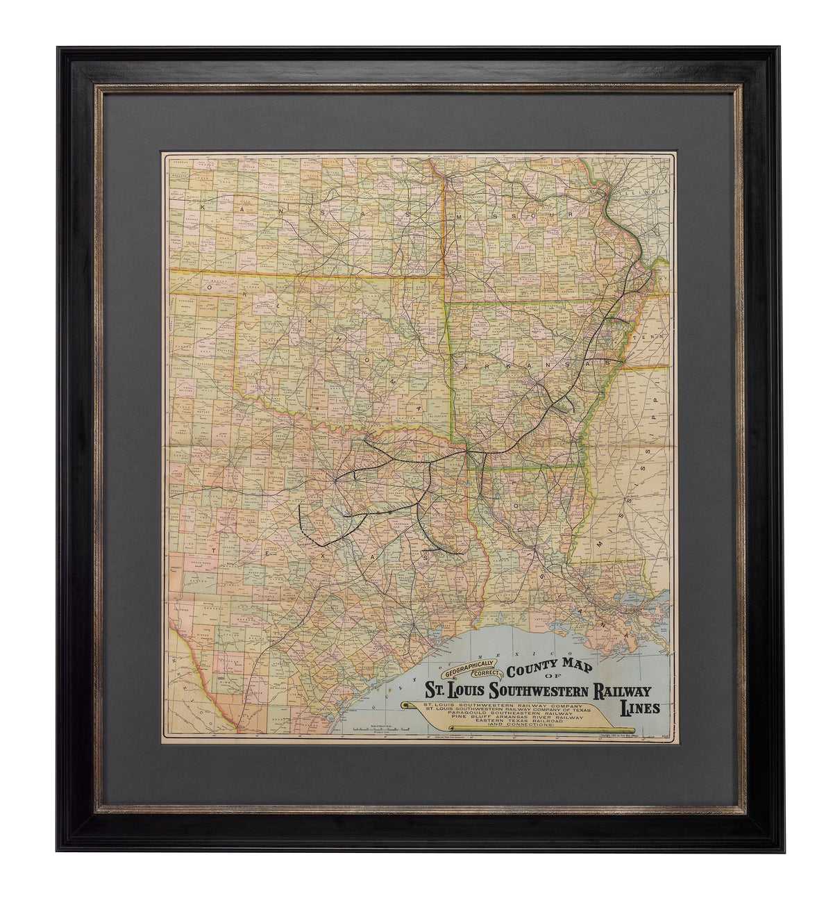
Presented is an original 1909 "Geographically Correct County Map of St. Louis Southwestern Railway Lines" by Poole Bros. This large and colorful railroad map covers the route of the St. Louis Southwestern Railroad, also known as the "Cotton Belt Route," as it traverses Missouri, Arkansas, Texas, and Louisiana. The map is colored by county, with state borders oulined; it names counties, cities and towns, and rivers. It also locates connecting railroads in the region, with routes splitting off to Kansas, Oklahoma and Mexico in the west and Illinois, Kentucky, Tennessee, and Mississippi, in the east.
The St. Louis Southwestern Railroad, or "Cotton Belt Route," emerged from a series of Texas railroads developed in the 1870s and 1880s, beginning with the Tyler Tap Railroad and expanding into a regional system connecting St. Louis and Memphis with Texarkana, Tyler, Corsicana, Dallas, Fort Worth, Waco, and ultimately Gatesville, with numerous branch lines serving East and North Texas. The railroad’s principal economic purpose was to move the region’s cotton and agricultural products to national markets, particularly St. Louis, while bringing manufactured goods and supplies back into Texas.
As the line grew, it helped transform established settlements into commercial centers and encouraged the growth of new railroad towns. The line provided farmers with access to cotton gins, mills, warehouses, distant merchants, and banks. In places such as Corsicana, Waco, Bullard, Mount Vernon, and communities throughout Hill County, the arrival of the railroad brought substantial population growth, facilitating the movement of new settlers and immigrant communities into previously rural areas. Germans and Eastern Europeans, among others, contributed significantly to the development of towns along the railroad’s routes.
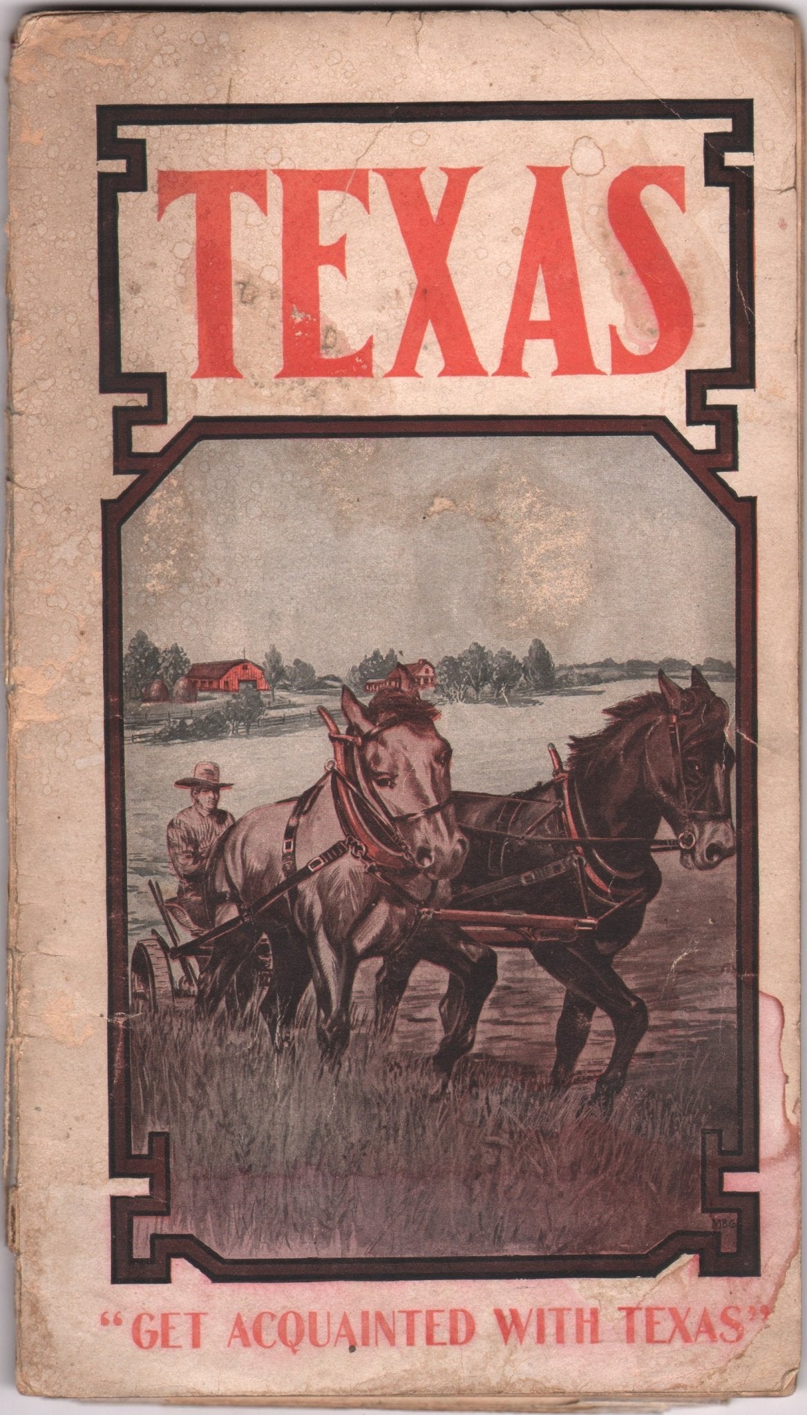
This map was issued as a fold out map, part of a 38-page promotional pamphlet entitled “Texas Farm Fruit and Garden Lands: Opportunities for Homebuilding in the Chosen Field of Diversified Agriculture along the Cotton Belt Route.” The pamphlet text describes opportunities for immigrants throughout the state, mostly related to farming but some also to oil. The pictorial paper covers show a farmer plowing a field with text "Get Acquainted with Texas." The population of Texas grew rapidly from 1,591,749 in 1880 to 3,048,710 in 1900. In addition to the natural growth of the already resident population, a steady migration came from other states, primarily in the South. Immigration, especially from Mexico and Germany, contributed 179,357 foreign born to the population by the turn of the century.
Based in Chicago, the Poole Brothers were active in the late 19th and early 20th century, with a primary publishing focus of railroad and travel maps. In 1868, George Amos Poole along with his uncle William H. Rand and Andrew McNally formed a partnership that purchased the printing plant of the Chicago Tribune. This partnership later incorporated under the name Rand, McNally & Co. with George serving as its treasurer. George then left the Rand McNally organization to form Poole Brothers with his brother William H. Poole. Poole Brothers was a direct competitor to Rand McNally for the lucrative railroad business. Like many of its competitors, Poole Brothers maintained an office on Chicago's Printer's Row, located in the downtown Loop district. According to a 1918 issue of The Inland Printer, the firm was seriously engaged in “printing for transportation companies, with a patronage that included practically every railroad in the country." Poole Brothers later expanded to print periodicals, including Advertising Age and the New England Journal of Medicine.
CONDITION:
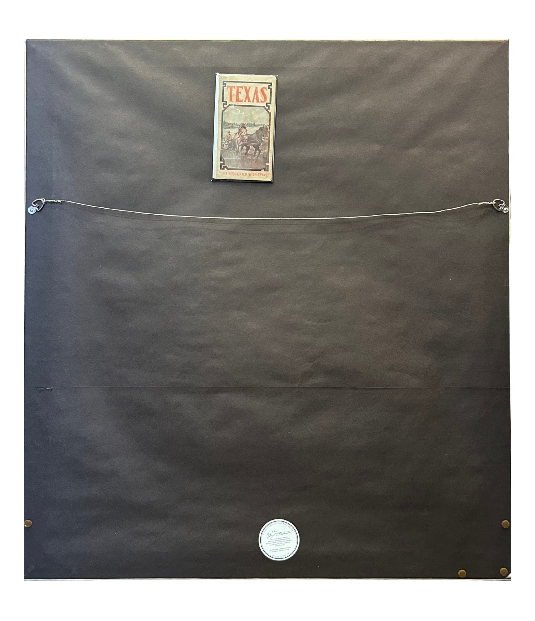
Very good+ condition. Folding map, as-issued, with printed color. The color is still vibrant. The map has a few spots of foxing and a number of fold separations that have been closed on verso with archival tape. Removed from original covers. Covers are worn, with toning and fading. Covers saved, attached to mylar sleeve on back of frame.
Framed to archival standards with acid-free mat, UV Plexi, and a custom wooden frame.
Framed Dimensions: 46 7/8"H x 42 1/4"W x 1 7/8"D.
Accompanied by our company's letter of authenticity.
Pickup available at Colorado
Usually ready in 4 hours
1909 "Geographically Correct County Map of St. Louis Southwestern Railway Lines" by Poole Bros.
Colorado
1 Lake Avenue
Colorado Springs CO 80906
United States
Choose options
Frequently Asked Questions
FAQs
Yes, all of our Antiques are certified authentic. Every antique comes with a signed Letter of Authenticity that details the item’s history, its current condition including any conservation, binding, or framing work, and the item’s provenance. The Letters of Authenticity are priced valuations by our authentication specialists, who assure that items are original and unconditionally guaranteed as genuine for life.
We pack and ship your items from our gallery in Colorado Springs. You may also choose to come pick up your order. Antique items are carefully packed and insured during shipping. The shipping price will be calculated at checkout.
We acquire from a variety of trusted sources all over the world, but mostly through auctions and private collections within the United States. All provenance information will be listed on the Letter of
Authenticity accompanying your purchase.