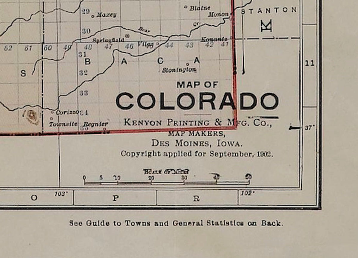
1902 "Map of Colorado" by The Kenyon Company
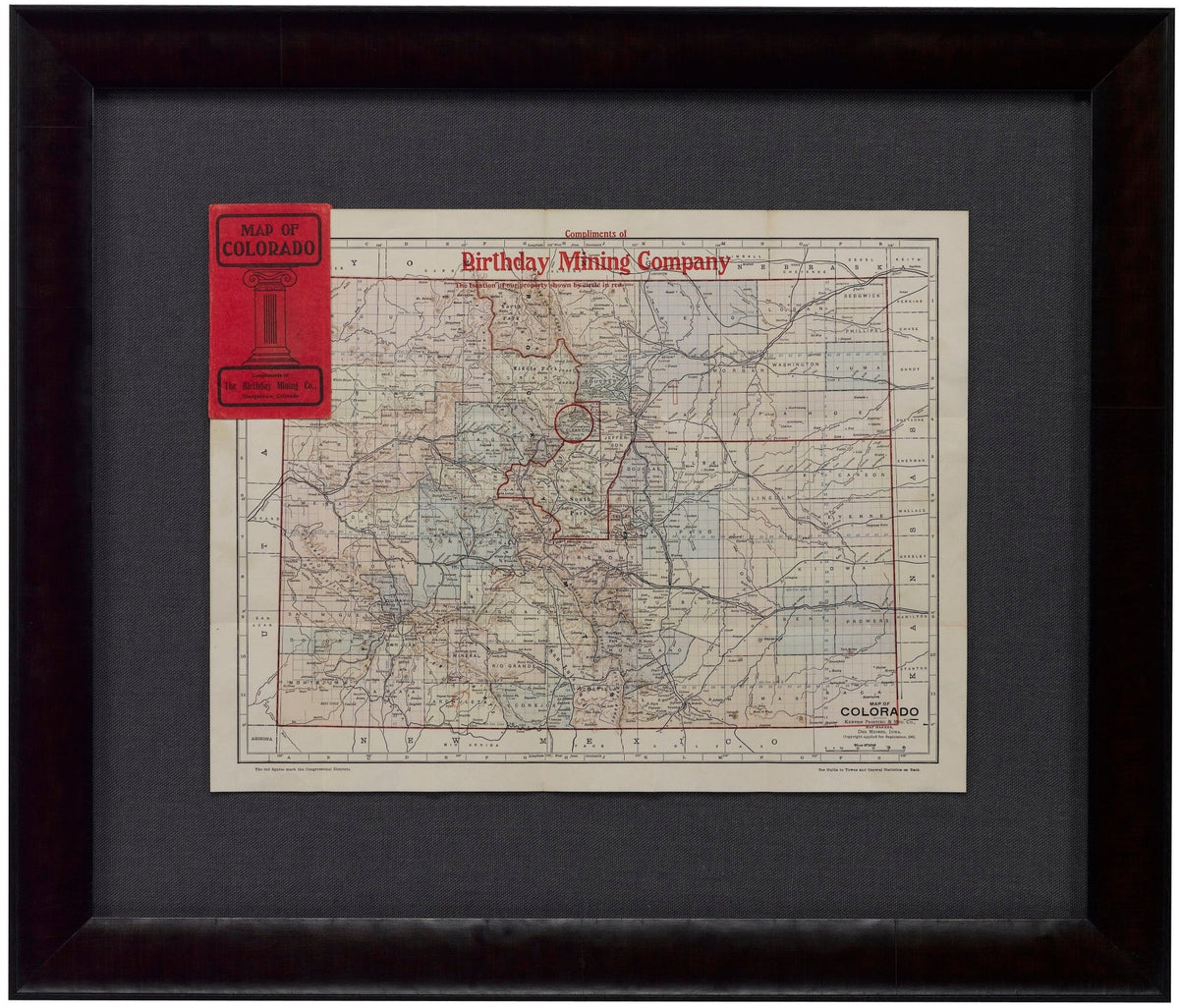
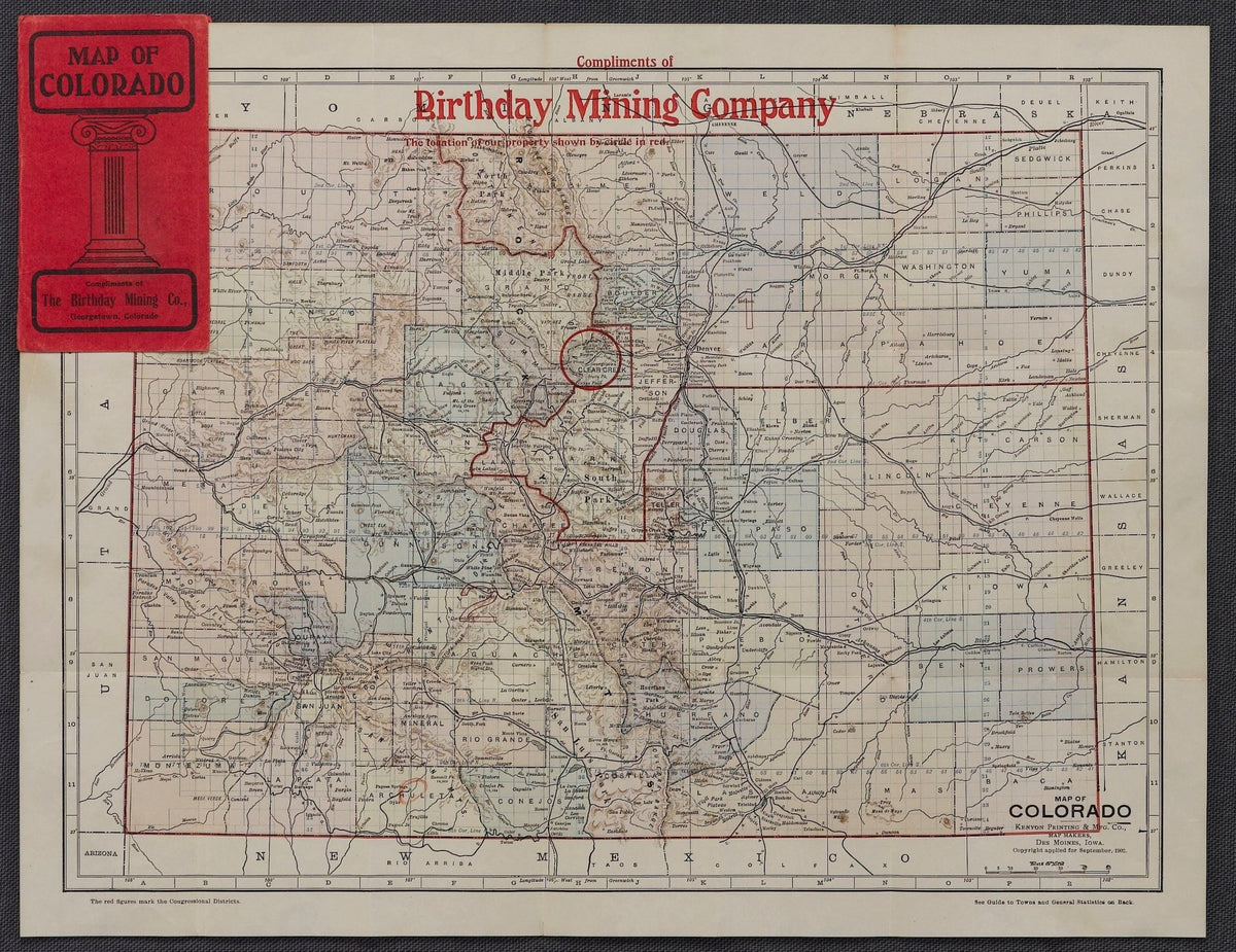
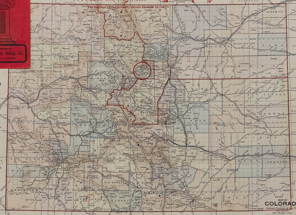
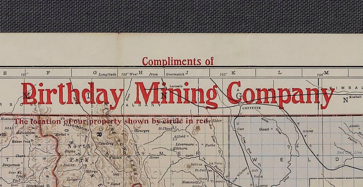
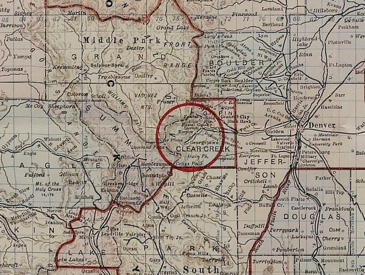
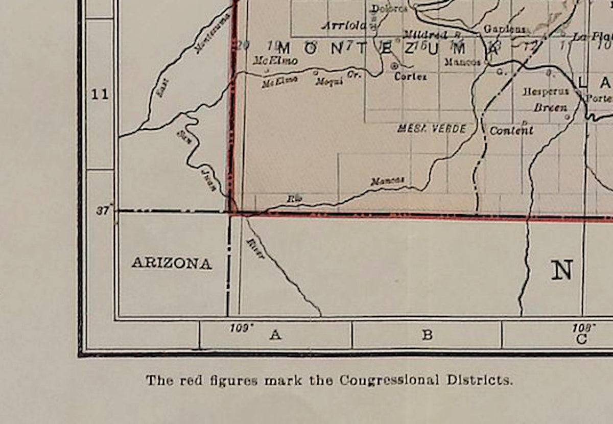
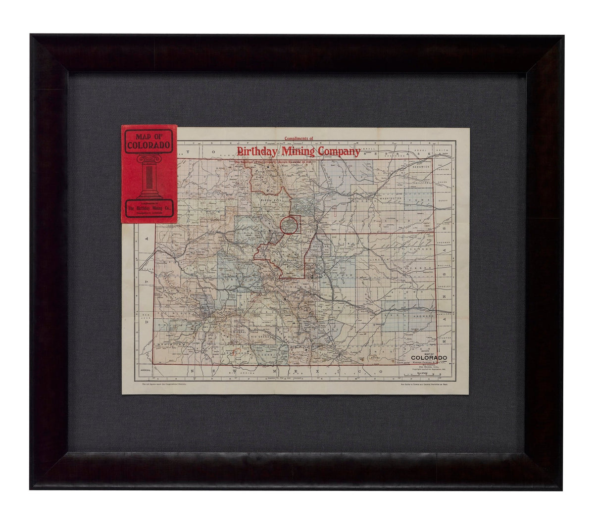
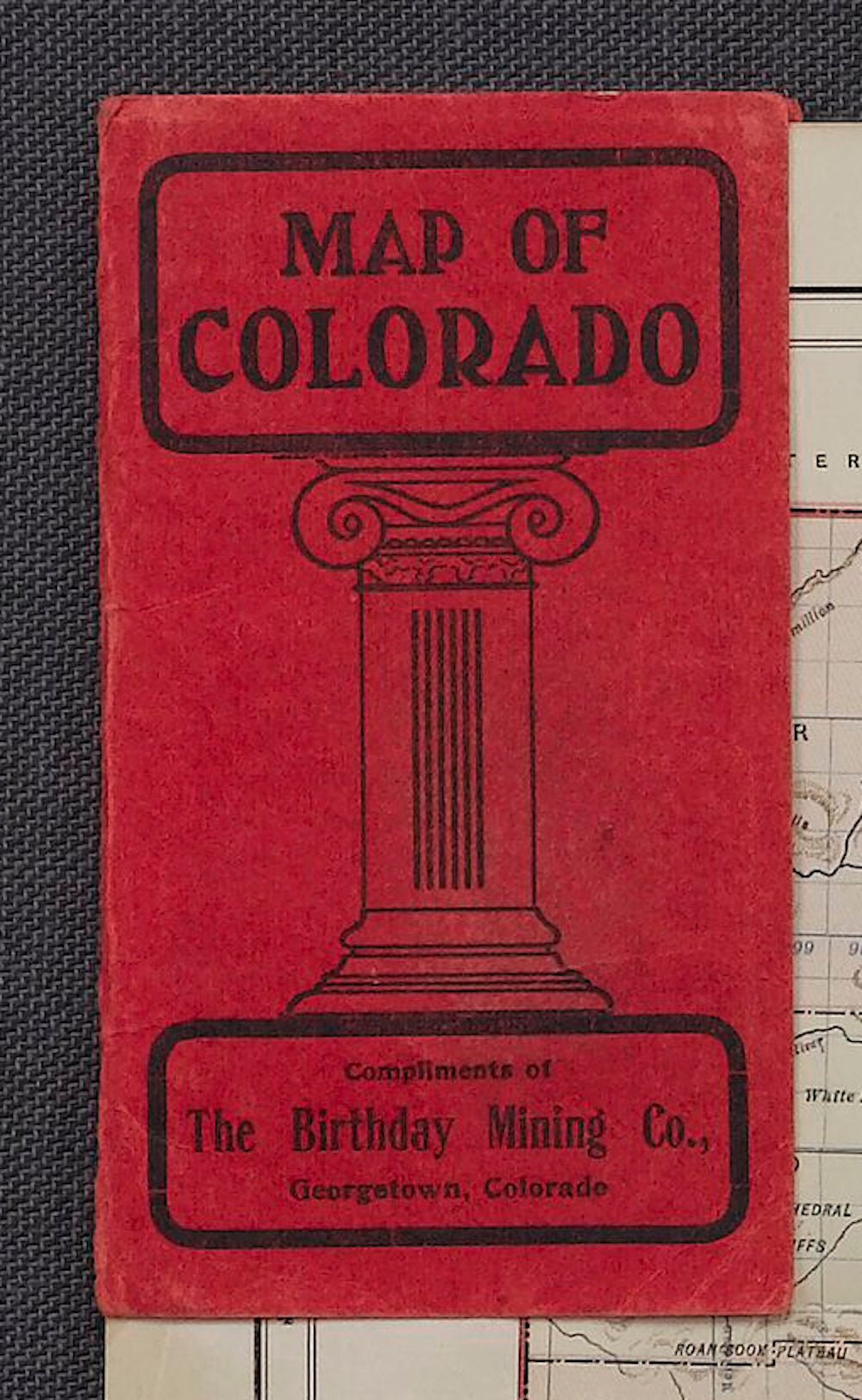
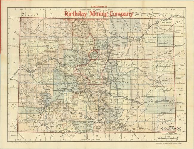
Presented is a vintage 1902 advertising pocket map of Colorado, promoting the Birthday Mining Company. The map was published by Kenyon Printing & Mfg. Co., in Des Moines, Iowa; the Kenyon Printing & Mfg. Co. printed these maps for a number of different businesses. This is a colorful map with red overprinting, with a circle locating the Birthday Mining Company headquarters in Georgetown, Colorado. Congressional districts are also identified by large red numbers. The map was issued folding, with red paper covers printed with "Compliments of the Birthday Mining Co." The back cover boasts, "In thirteen months this mine has produced a 130 per cent dividend on its paid-up capital."
The map presents the state of Colorado in remarkable detail, depicting cities, towns and mining communities, as well as rivers and lakes. The relief of the terrain is shown through tan hachures, showing off the mountainous areas of Colorado. The map’s verso contains an index with population for all cities and counties. Issued at the turn of the century, it captures the state during a pivotal period of transition, when railroads and mining were rapidly reshaping the area.
Prior to 1858, Colorado was mostly a stopping point for travelers on their way to California and Oregon. However, in the 1860s Colorado experienced its own gold rush shortly followed by a silver rush in the 1870s and 1880s. The sudden increase in population and introduction of railroads led to a boom in the area. President Ulysses S. Grant signed Proclamation 230 admitting the state of Colorado to the Union as the 38th state on August 1, 1876. Gold, silver, and especially coal mining continued in the state, and the population kept expanding. Colorado had a recorded population of 539,700 in 1900, 799,024 in 1910, and 939,629 in 1920.
CONDITION:
Fine condition. Printed color, with red overprinting. Very clean and healthy paper. With a single manuscript notation in red pencil at bottom. Folding map, as issued. Light creasing at folds. Folds into stiff red paper covers, printed with "Compliments of the Birthday Mining Co." The covers are lightly soiled. Map Dimensions: 13.3” H x 17.8” W. Cover Dimensions: “5.5” H x 3.1” W.
Framed to archival standards with acid-free mat, UV Plexi, and a custom wooden frame.
Framed Dimensions: 25"H x 26 1/4"W x 1 1/2"D.
Accompanied by our company's letter of authenticity.
Pickup available at Colorado
Usually ready in 4 hours
1902 "Map of Colorado" by The Kenyon Company
Colorado
1 Lake Avenue
Colorado Springs CO 80906
United States
Choose options
Frequently Asked Questions
FAQs
Yes, all of our Antiques are certified authentic. Every antique comes with a signed Letter of Authenticity that details the item’s history, its current condition including any conservation, binding, or framing work, and the item’s provenance. The Letters of Authenticity are priced valuations by our authentication specialists, who assure that items are original and unconditionally guaranteed as genuine for life.
We pack and ship your items from our gallery in Colorado Springs. You may also choose to come pick up your order. Antique items are carefully packed and insured during shipping. The shipping price will be calculated at checkout.
We acquire from a variety of trusted sources all over the world, but mostly through auctions and private collections within the United States. All provenance information will be listed on the Letter of
Authenticity accompanying your purchase.