
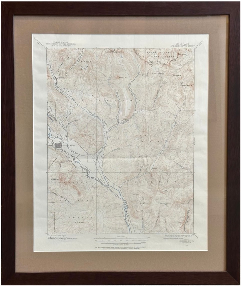
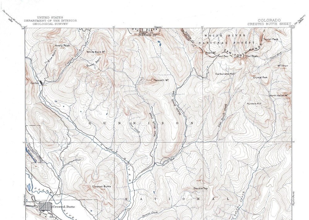
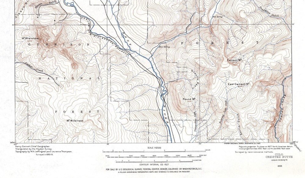
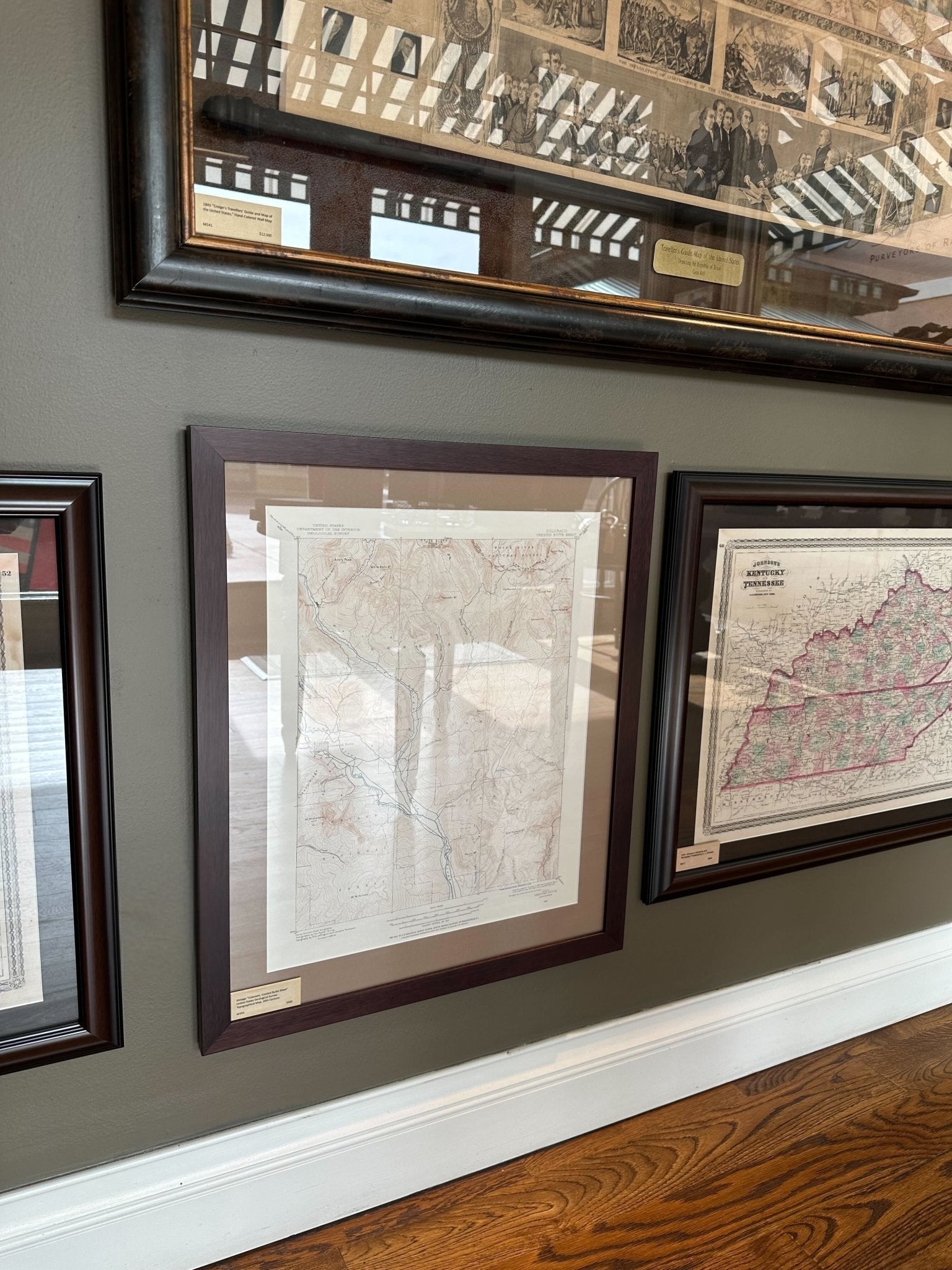
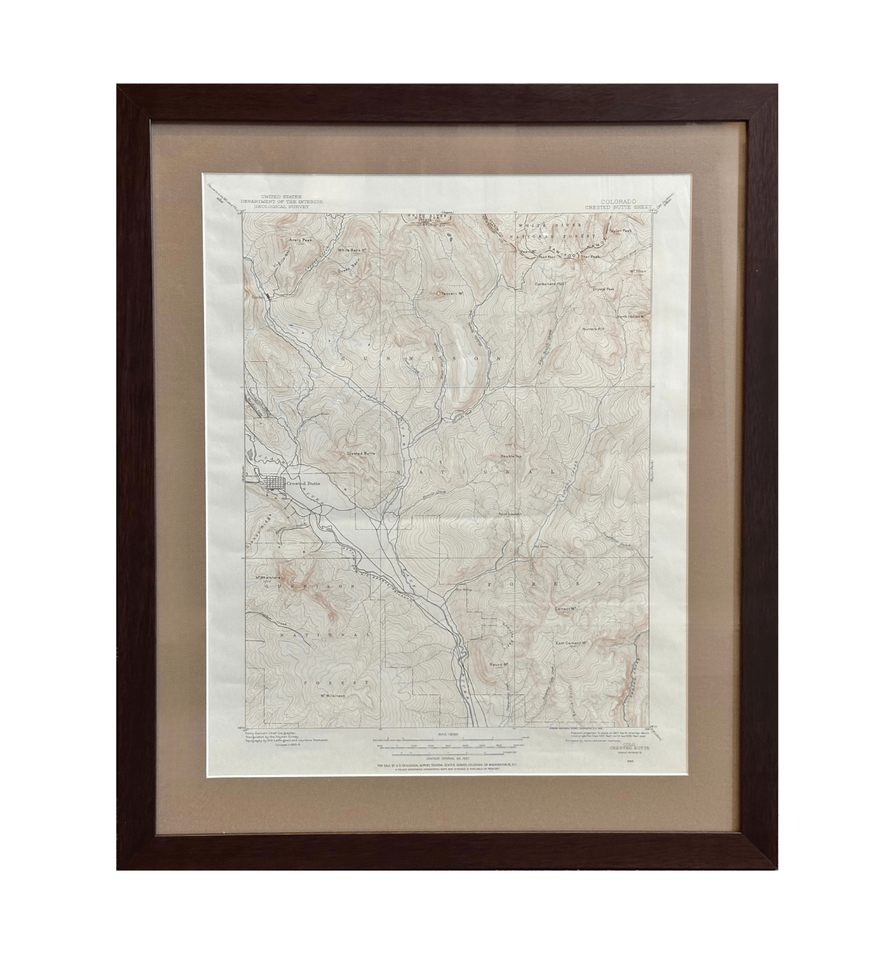
Vintage "Colorado, Crested Butte Sheet" United States Geological Survey Topographical Map, 20th Century
Presented is a vintage "Colorado, Crested Butte Sheet" topographical map, first published by the United States Geological Survey. Highly detailed, the map captures the rugged topography of Gunnison National Forest and White River National Forest as surveyed between 1883 and 1888, during the height of the region’s mining boom. The map presents finely rendered contour lines, waterways, and elevations, as well as the railroad route of the Denver and Rio Grande Railroad and some detail of Crested Butte. It is a visual testament to the precision of late 19th-century surveying, with triangulation by the Hayden Survey and topography by W.H. Leffingwell and Laurence Thompson, under the direction of Henry Gannett, Chief Geographer. Although this map is undated, it is safe to assume this map was published in the 20th century, as the text in the bottom margin instructs how to shift the map’s original projection lines to adjust to the 1927 North American datum.
Trappers first visited the Elk Mountains in the 1850s, followed by prospectors in the valley in the 1860s. At the time, the region was home to the Ute people, who had lived, hunted, and traveled through the mountains for centuries. They resisted early mining attempts, and the combination of harsh winters and poor gold yields discouraged many settlers from staying in the area.
Settlement interest returned in the 1870s after silver was discovered north of present-day Crested Butte. In 1873, geologist Ferdinand V. Hayden surveyed the area, naming the area’s distinctive peaks the “crested buttes” and mapping rich silver and coal deposits in the region.
Investor Howard F. Smith founded the town of Crested Butte in 1878, near the confluence of Coal Creek and the Slate River. Smith built a sawmill and smelter, hoping to attract settlers, and within two years, hundreds of miners arrived in search of gold and silver. Crested Butte quickly grew into a crucial supply and service hub for surrounding mining camps.
By 1880, coal had overtaken precious metals in importance. Local coal beds along Coal Creek were found to produce high-quality coke, essential for smelting metals. This drew the attention of railroad and steel magnate William Jackson Palmer, who was seeking fuel for his new steel mill in Pueblo. Palmer extended his Denver & Rio Grande Railroad into the Elk Mountains and by late 1881, the first railcar reached Crested Butte. That same year, Palmer’s Colorado Coal & Iron Company opened the Crested Butte Mine, and adjacent coke ovens operating nearby. Crested Butte had transformed from a settlement into a thriving coal town.
With the railroad came rapid growth. By 1882, the town’s population topped 500. The town added hotels, saloons, restaurants, a church, schools, and a city hall, all serving a bustling mining economy. Coal from Crested Butte was shipped across Colorado, Utah, and Nevada to power homes, railroads, and industrial operations.
CONDITION:
Fine condition. Topographical United States Geological Survey map. One-sheet, printed in blue, brown, and black. Titled at top right margin, with instructions on how to adjust to 1927 NAD in bottom right margin, survey history in bottom left margin, and scale of miles in bottom center margin. Paper is healthy, save creases at fold lines.
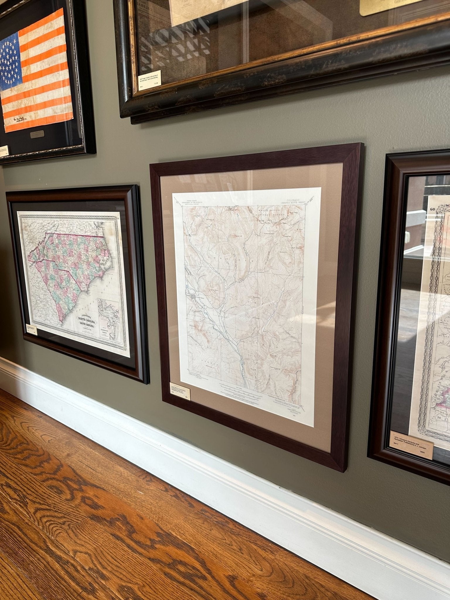
Artfully framed to archival standards, in a custom-built wooden frame with an acid-free mat, and UV glass. Framed Dimensions: 26 1/2"H x 22 1/8"W x 3/4"D
Pickup available at Colorado
Usually ready in 4 hours
Vintage "Colorado, Crested Butte Sheet" United States Geological Survey Topographical Map, 20th Century
Colorado
1 Lake Avenue
Colorado Springs CO 80906
United States
Choose options
Frequently Asked Questions
FAQs
Yes, all of our Antiques are certified authentic. Every antique comes with a signed Letter of Authenticity that details the item’s history, its current condition including any conservation, binding, or framing work, and the item’s provenance. The Letters of Authenticity are priced valuations by our authentication specialists, who assure that items are original and unconditionally guaranteed as genuine for life.
We pack and ship your items from our gallery in Colorado Springs. You may also choose to come pick up your order. Antique items are carefully packed and insured during shipping. The shipping price will be calculated at checkout.
We acquire from a variety of trusted sources all over the world, but mostly through auctions and private collections within the United States. All provenance information will be listed on the Letter of
Authenticity accompanying your purchase.