
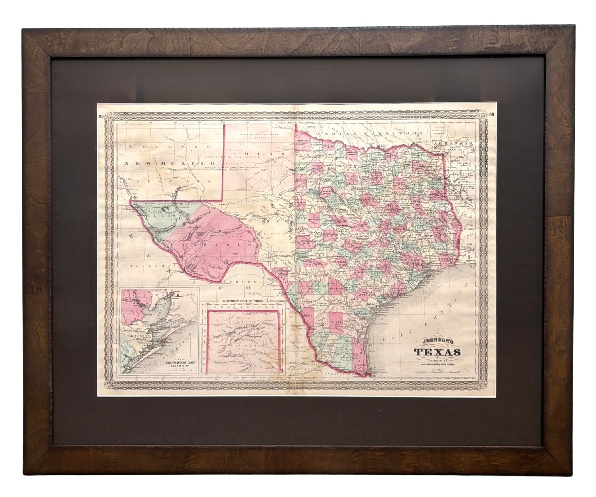
1870 "Johnson's Texas" Map, Published by A. J. Johnson
Presented is an original 1870 "Johnson's Texas" map. First published in 1866, this map was issued as pages 58 and 59 in the 1870 edition of “Johnson's New Illustrated (Steel Plate) Family Atlas.” The map is engraved, with attractive hand coloring and a decorative border. Texas is outlined in pink and colored by county. Depicted but not colored are the neighboring country and states of Mexico, New Mexico, Indian Territory, Arkansas, Louisiana. The Gulf of Mexico is at bottom right of the map and two inset maps are printed in the lower left: "Plan of Galveston Bay and Vicinity" and "Northern Part of Texas." The map is beautifully detailed, with railroads, roads, rivers and creeks, and important cities and towns all marked.
The publishing company of A.J. Johnson was a successor of Johnson and Ward, a successor to Johnson and Browning, themselves a successor to the famous publishing company, J. H. Colton and Company. A combination of both new plates and older, updated ones, all of the maps in this famous 1870 atlas were compiled, drawn, and engraved under the supervision of A. J. Johnson.
This 1870 publication of “Johnson's New Illustrated (Steel Plate) Family Atlas” is also notable for its inclusion of a treatise on physical geography by Professor A. Guyot, marking the first year his essay appeared and his name featured on the cover. The atlas was recognized with a First Prize Medal at the Universal Exposition of 1867 in Paris.
“Johnson's New Illustrated Family Atlas” was a comprehensive world atlas featuring 60 full-color maps. Designed to be both educational and a decorative addition to a home library, it reflected the 19th-century fascination with detailed and ornate cartographic publications. In addition to maps, the atlas included geographical, statistical, and historical information, as well as a dictionary of religious denominations, a testament to its extensive scope and utility. The treatise on physical geography by A. Guyot further demonstrates that period’s growing interest in scientific inquiry, making the atlas a valuable resource not just for navigation and geography, but also for understanding the natural world.
CONDITION:
Fine condition overall. Hand Colored. Page 58 and 59 from “Johnson's New Illustrated (Steel Plate) Family Atlas.” Decorative border. Texas is colored by county, uncolored for bordering states of Mexico, New Mexico, Indian Territory, Arkansas, Louisianai. Two inset maps at lower left. Publication line: "Entered according to Act of Congress in the Year 1866, by A.J. Johnson, in the Clerks Office of the District Court of the United States for the Southern District of New York". Toning to paper. Light to moderate staining, more noticeable along the centerfold. Split at bottom center margin, into map, now stabilized. Full margins.
Artfully framed in a custom-built wooden burl frame with UV glass and acid-free brown top mats.
Framed Dimension: 27"H x 33"W x 1"D.
Accompanied by our company's letter of authenticity.
Pickup available at Colorado
Usually ready in 4 hours
1870 "Johnson's Texas" Map, Published by A. J. Johnson
Colorado
1 Lake Avenue
Colorado Springs CO 80906
United States
Choose options
Frequently Asked Questions
FAQs
Yes, all of our Antiques are certified authentic. Every antique comes with a signed Letter of Authenticity that details the item’s history, its current condition including any conservation, binding, or framing work, and the item’s provenance. The Letters of Authenticity are priced valuations by our authentication specialists, who assure that items are original and unconditionally guaranteed as genuine for life.
We pack and ship your items from our gallery in Colorado Springs. You may also choose to come pick up your order. Antique items are carefully packed and insured during shipping. The shipping price will be calculated at checkout.
We acquire from a variety of trusted sources all over the world, but mostly through auctions and private collections within the United States. All provenance information will be listed on the Letter of
Authenticity accompanying your purchase.