
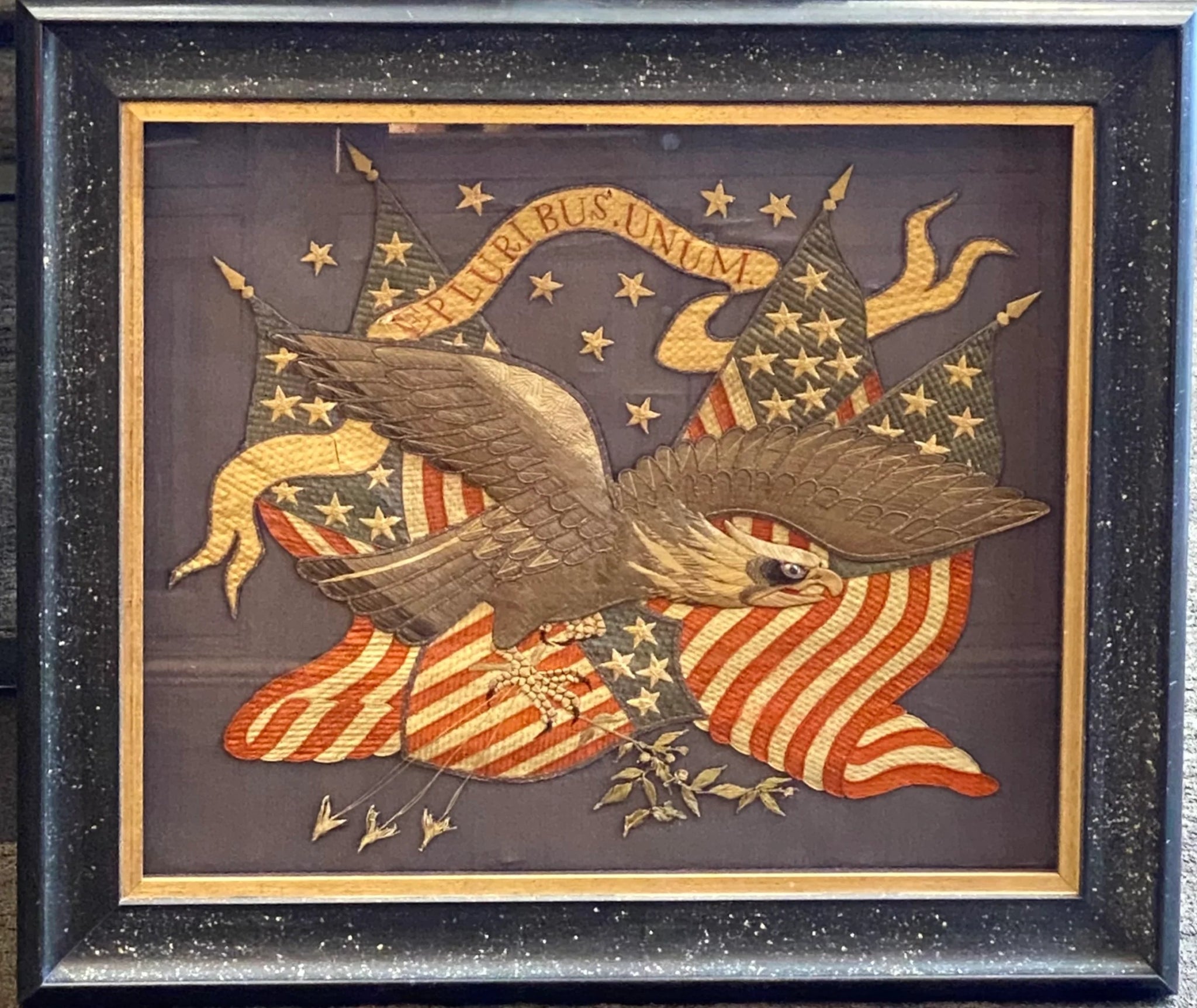
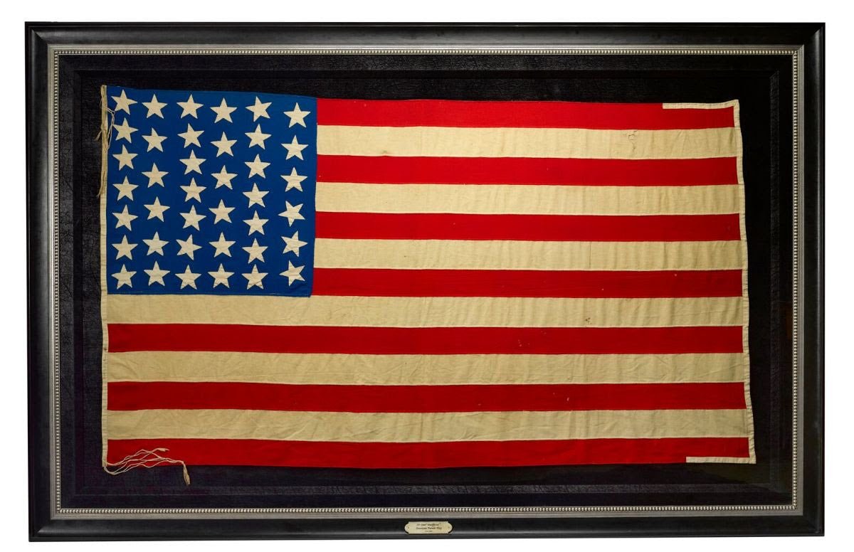
New York Maps
New York, one of the original 13 colonies, gained its statehood on July 26, 1788. From this point on, New York would become one of the most popular and culturally influential states in the United States. Ellis Island, featuring the bold and beautiful Statue of Liberty, was a safe haven for many refugees and immigrants from the late 1800s to the mid 1950s, coming in to become U.S. citizens. This was a piece of New York's unique history that was continually referenced through World War I war bond posters. New York was also home to many Founding Fathers, including Alexander Hamilton, who ran a Federalist periodical under the pseudonym "Publius" called the New York Evening post, which is now famously known today as the New York Post. Through the works of this newspaper The Federalist was born.

Another part of New York's unique history is the maps. Each map that we have available tells its own story about New York City and the surrounding areas and gives us a different perspective on the state. Take, for example, our 1840 "New Map of the City of New York With Part of Brooklyn & Williamsburg" by J. Calvin Smith, the oldest New York map we currently have available. With a color-coded key denoting development within the city, railroad lines, ward boundaries, lines of fire limits, public buildings, and distances from city hall in half miles, this map is an excellent early example of the ever-growing city, with clear distinctions of newly developed buildings and a view of the foundational city structure.
Our 1855 "New-York City & County Map with Vicinity entire Brooklyn Wiliamsburgh Jersey City &c." by Charles Magnus is an unusual and attractive depiction of the city. The map is turned clockwise so that cardinal west is at the top of the map, with an illustration of the New York City Hall at the bottom left of the map and balanced by the full text of the Declaration of Independence surrounded by an elaborate medallion at the bottom right, topped off with a beautifully decorated with acanthus leaf motif border. Special attention is paid to individual streets, blocks, parks and even important buildings, showing ferry crossings, canals, and railroads as well with steamships navigating the Hudson River.


A favorite among The Great Republic team is this 1912 "Panoramic View of New York City and Vicinity" by Jacob Ruppert. What makes this map so unique and engaging is the story behind the map maker himself, Jacob Ruppert. Jacob Ruppert's father, a Bavarian immigrant, owned a Manhattan brewery where young Jacob learned the craft of brewing. Jacob fell in love with the craft and in 1862 established the Jacob Ruppert Brewery, noted on the map with a black star, which sold over 5,000 barrels of beer in the first year alone. By the time Jacob's son, Jake, took over as the general manager in 1890, the brewery was producing over half a million barrels a year.


Beyond his beer empire, Ruppert was an important figure in New York sports. In 1915 him and his partner at the time bought the New York Highlanders, now known as the New York Yankees. Four years later they brought the Boston Red Sox pitcher, Babe Ruth, to New York. Lou Gehrig and Joe DiMaggio are two others that Ruppert is responsible for bringing over to the Yankees. Ruppert bought and opened Yankee Stadium in 1923, where the beer was promoted and featured. The brewery itself, between Second and Third avenues and East 90th and 92nd streets, closed in 1965.

The great Empire State is known to many as a place of opportunity, growth, and liberty. Our stunning 1861 The Empire State Wall Map gives a snapshot of the state and it's history during the mid 19th century. Published the first year of the Civil War, the map provides text pertaining to New York state history, boundary lines, geology, forestry, and explanations of the state's current laws, including voting procedures divided by race, rights of men and married women in the state, the procedures for the collection of debts, wills, and deeds, as well as homestead exemptions and statistics from the 1860 census.
...
Each one of our maps uniquely depicts New York City and its surroundings at that time that tell their own individual stories. Our history as a country runs deep throughout the original 13 colonies, and New York is no exception. Any one of these maps would be a great piece to add to any collector who is looking for a story to put up on their wall. Check out all of our New York related items here!