A Detailed Map of NY, with an Interesting Story
|
|
|
|

|
|
|

The Babe Ruth Story by Babe Ruth and Bob Considine, First Edition, 1948
|


|
|
|
|
|
|
|
The Babe Ruth Story by Babe Ruth and Bob Considine, First Edition, 1948
|
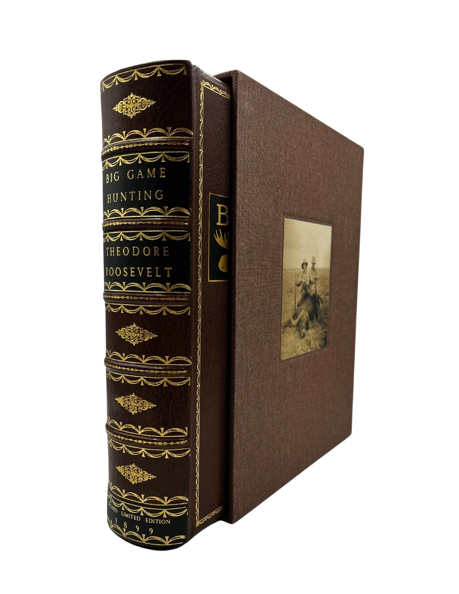
Theodore Roosevelt, Outdoorsman and Naturalist
Theodore Roosevelt was an outdoorsman, writer, soldier, and the 26th president of the United States. Roosevelt made a name for himself in politics, being then the youngest president in U.S. history...
Read more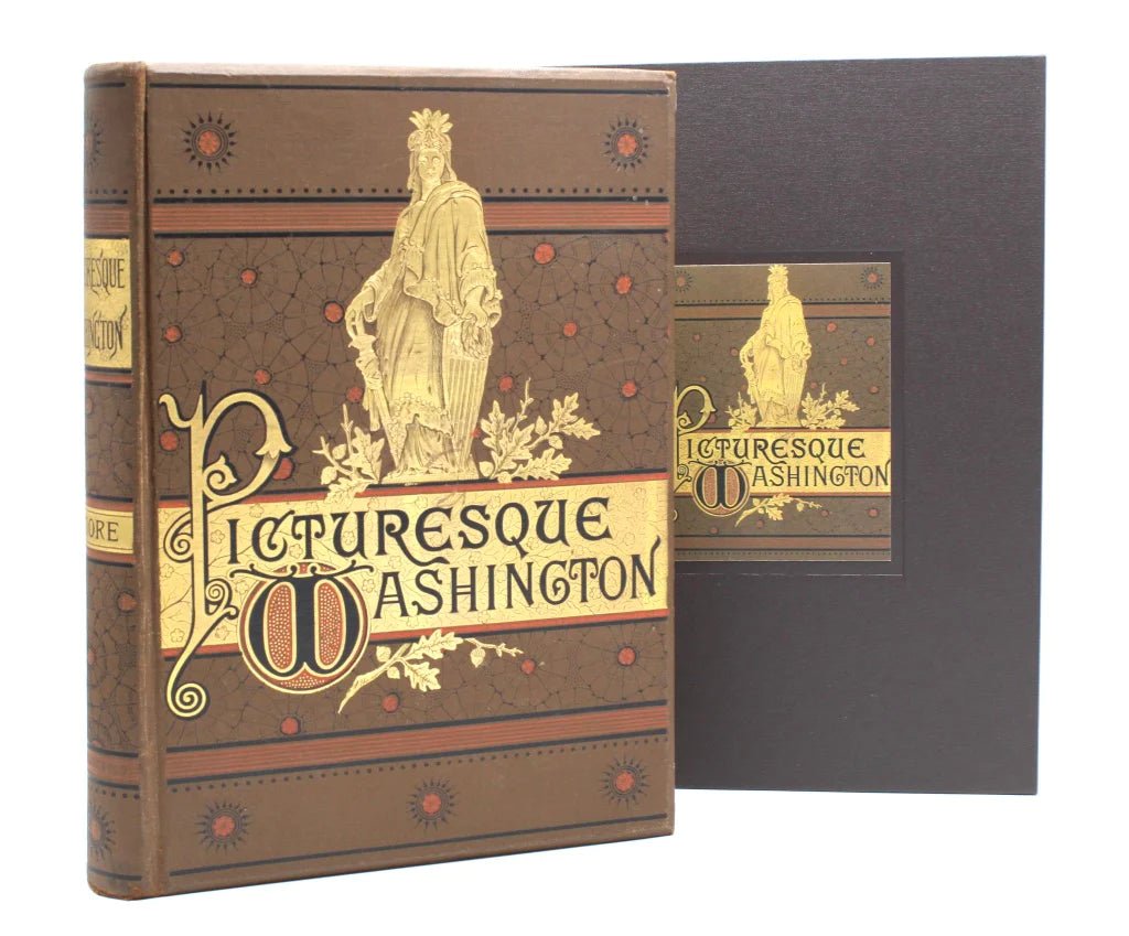
Joseph West Moore's "Picturesque Washington": A Snapshot of D.C. in the 1880s
With detailed prints and intriguing articles, Picturesque Washington by Joseph West Moore exposed 19th century readers to all parts of their expanding, booming capital city. Moore went beyond just ...
Read more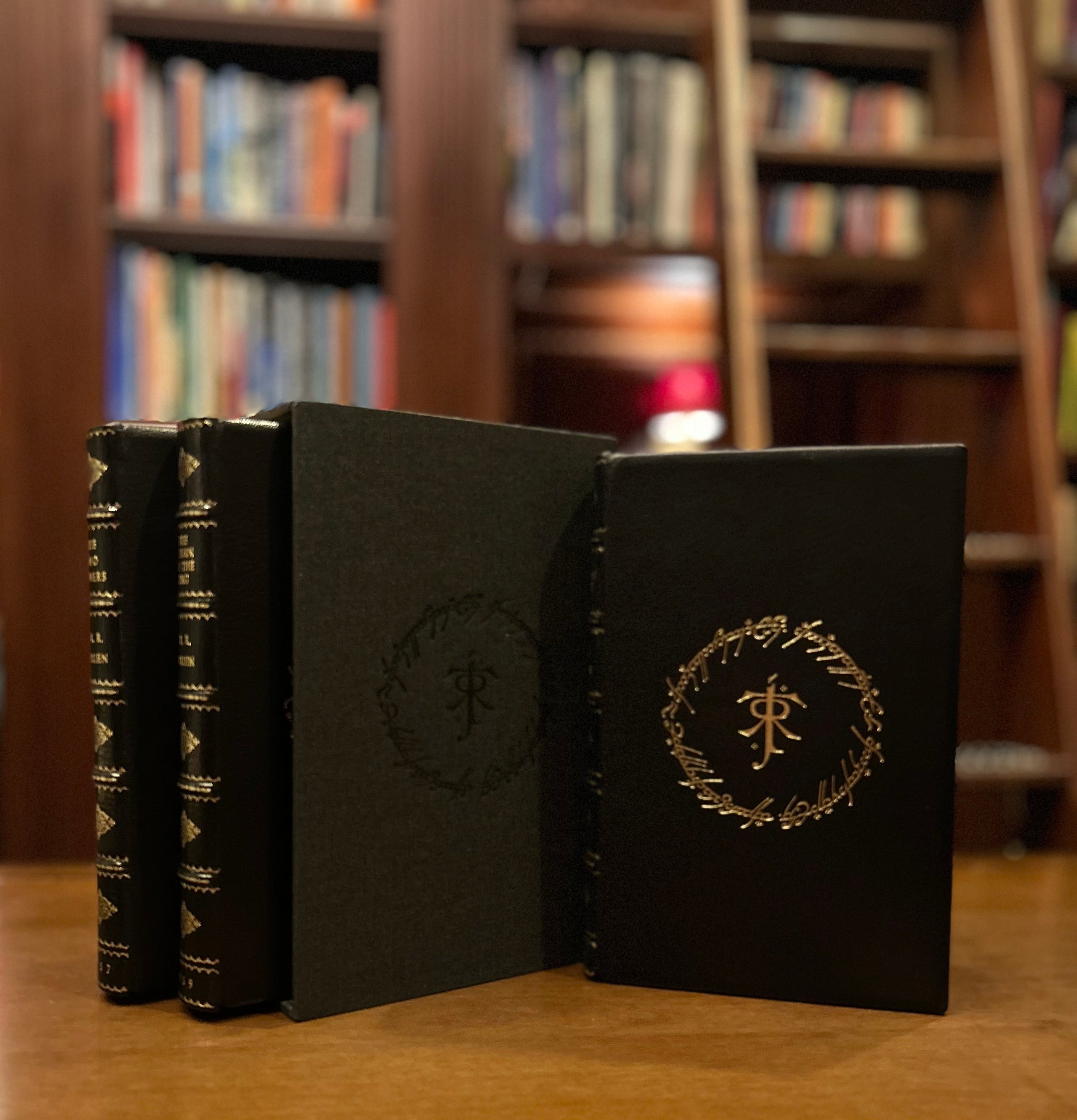
On This Day in 1954: First Printing of "The Fellowship of the Ring"
On July 29, 1954, The Fellowship of the Ring was first published by Allen & Unwin, marking the beginning of J.R.R. Tolkien's monumental Lord of the Rings trilogy. Seventy-two years later (to t...
Read more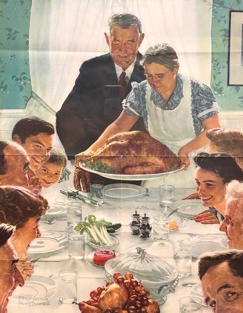
Norman Rockwell's “Four Freedoms”
New to our Colorado Springs gallery are all four of the iconic 1943 “Four Freedoms” War Bonds posters by Norman Rockwell. The series was a visual representation of the closing remarks of President ...
Read more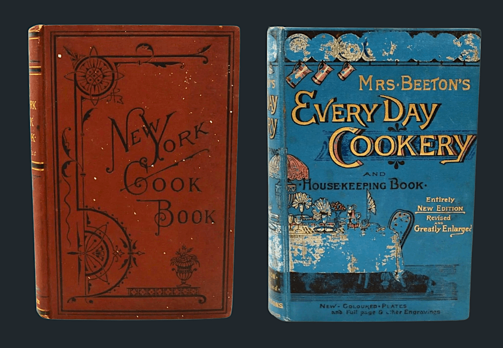
A Pair of Rare Nineteenth Century Cookbooks
More than simple recipe collections, nineteenth century cookbooks served as indispensable household manuals, offering guidance on everything from meal preparation and budgeting to home remedies, he...
Read more