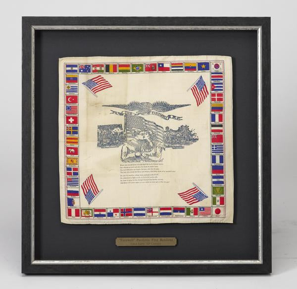
WWI Sweetheart Silks
Ever since we displayed this sentimental and patriotic WWI handkerchief on our walls in our Washington DC store, we have been asked countless times to tell the story behind this unique item. So today we are exploring the tale behind this beautiful war memorabilia.
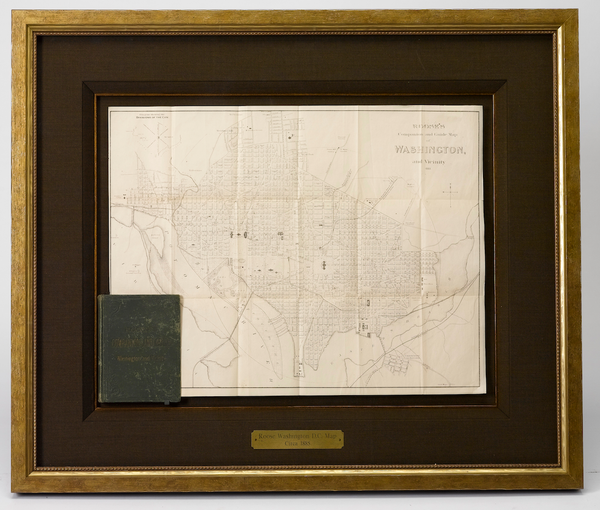
Post Civil War DC in "Roose's Companion and Guide to Washington and Vicinity"
Today on the blog we are examining a fairly uncommon and very illuminating map of Washington D.C., dating to 1885, created by William S. Roose. Because it was a planned city, the early maps of Washington, DC have always been a particularly accurate way to track the development of the nation’s capital. This map helps us explore the markers of a growing population in postbellum DC, and the projects and infrastructure changes, specifically the 1881 reclamation of the Potomac Flats, that were necessary for the Nation's Capital to thrive.

© 2024 The Great Republic. All Right Reserved.