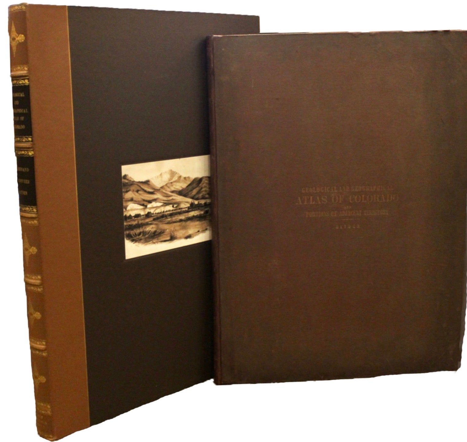

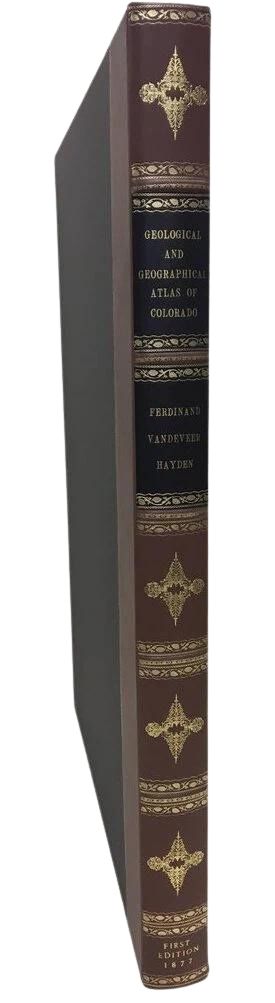
Hayden's Geological and Geographical Atlas of Colorado and Portions of Adjacent Territory, First Edition of Twenty Maps, 1877
$7,500.00
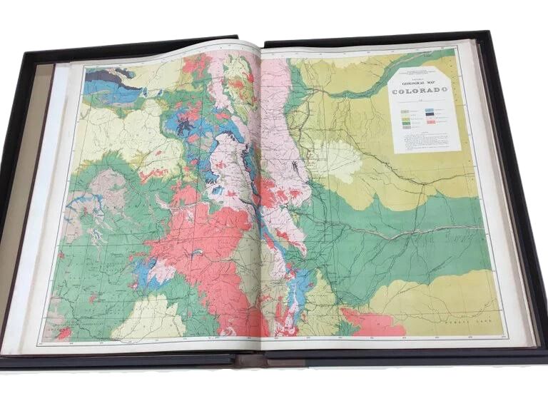
This is F. V. Hayden's Geological and Geographical Atlas of Colorado and Portions of Adjacent Territory, an unmatched geological record for its time. Published by the Department of the Interior in 1877, the Atlas of Colorado consists of twenty double elephant sized sheets, divided into two series. The first series, four sheets, embrace the entire area on a scale of twelve miles to an inch, and include Triangulations, Drainage, an Economic Map, and a General Geological map. The second series consists of twelve sheets in pairs, six representing general topographical features of Northwest, North, Central, West, Southwest, and South Central Colorado, and six of the identical, corresponding areas with colored, geological delineations. These sheets are on scale of four miles to the inch. The final four sheets are two geological sections and two panoramic views.
In 1867, the government-funded, systematic surveying and mapping of Western geology and geography began in earnest. Scientists, geologists, and military engineers organized a group of experts to travel through the West, mapping and cataloging the land and its resources. Between 1867 and 1879, Congress authorized and funded four significant surveys, under four leaders: the Powell Survey, under John Wesley Powell (1870–78); the King Survey, led by Clarence King (1867–78); the Wheeler Survey, under Lieutenant George M. Wheeler (1871–79); and the Hayden Survey, led by Ferdinand Vandeveer Hayden (1867–79). The four surveys consolidated into the United States Geological Survey (USGS).
The Hayden Survey was the largest and best funded of the four major surveys. Hayden wrote that he felt a comprehensive survey of Colorado would “yield more useful results, both of a practical and scientific character. . . . The prospect of its [Colorado’s] rapid development within the next five years, by some of the most important railroads of the West, renders it very desirable that its resources be made known to the world at as early a date as possible” (Hayden 1874, 11).
The area of Colorado of most interest to Hayden was the mountains and western plateaus of the territory. His survey looked at the prairie-mountain interface, but did not venture very far eastward into the plains. Hayden felt that the plains’ geology was not of much interest in either a resource or scientific sense, due to its relatively simple geology, few mineralogical resources, and limited use beyond farming and ranching.
The Atlas required the concerted efforts of all Hayden field parties for several years. Hayden’s method of operation was to create nearly-independent survey teams or divisions, which would work in separate locations throughout the field season. Each survey division consisted of a topographer or cartographic and surveying expert, one or two geologists, one or more natural scientists (i.e. a paleontologist, botanist, or zoologist), and enough support men to run the camp and care for the mules. Three or four of these divisions were used each year. Each team was responsible for areas of 5,000 square miles or more. The fourth team was headed by Hayden himself.
This meticulous survey was the only one of a single state or territory ever completed in such depth. Hayden’s scientific research made Colorado the most intensively studied place in the entire West, with the possible exception of California. His surveys and the resulting data output created an unparalleled number of publications , the most significant being the Atlas of Colorado.
The Atlas of Colorado was well received in the scientific community. An August 1878 Geological Magazine review by T. Oldham celebrated:
“We have the results of four years’ labour (1873-74-75-76) produced and published in a finished site in the year 1877! And such four years of labour as these must have been! An area exceeding that of Ireland, in most parts inaccessible, everywhere difficult to travel in, open to disturbances, for fears of disturbances, from unsettled Indian tribes, where everything had to be carried with the observer, and he thrown entirely on his own resources, and such limited aid as he could bring with him; such an area has been triangulated, measured, physically examined, and mapped; its drainage carefully determined, its economic and agricultural divisions noted, and its geological structure carefully investigated. We have no hesitation in saying Prof. Hayden may justly point to this as a success, rarely ever approached, probably never equaled. And may justly recount with pride the names of those few who have so ably and so untiringly carried out his wishes.”
This Atlas of Colorado is a classic example of Western Americana and exemplifies the best cartographic, geologic, and illustrative work of the Hayden survey. It would make a stellar addition to any serious collector’s library.
CONDITION:
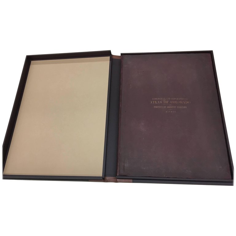
First edition, elephant folio, title page, list of sheets, plus 20 double-page folding color and black and white lithographic topographical and geological maps.
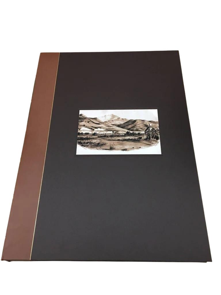
Bound in original boards and beautifully presented in calf leather and cloth clamshell with raised, gilt spine and a Colorado mountain range image on the front of the clamshell.
Volume shows beautifully, with mild signs of wear and age. Paper healthy, with minimal evidence of foxing or staining. The maps are bright, vibrant, and crisp, with color still fully intact.
REFERENCES:
Hayden, Ferdinand V. (1874). Annual Report of the United States Geological and Geographical Survey of the Territories, Embracing Colorado: The Exploration for the Year 1873. Washington, DC: US Government Printing Office. pg 11.
Oldham, T. (1878). IV.—Geological and Geographical Atlas of Colorado, and Portion of Adjacent Territories. By F. V. Hayden, U.S. Geologist-in-Charge. Published by the Department of the Interior, under the United States Geological and Geographical Survey of the Territories, 1877. Geological Magazine, 5(8), pgs. 365-367.
Related Items


© 2024 The Great Republic. All Right Reserved.