


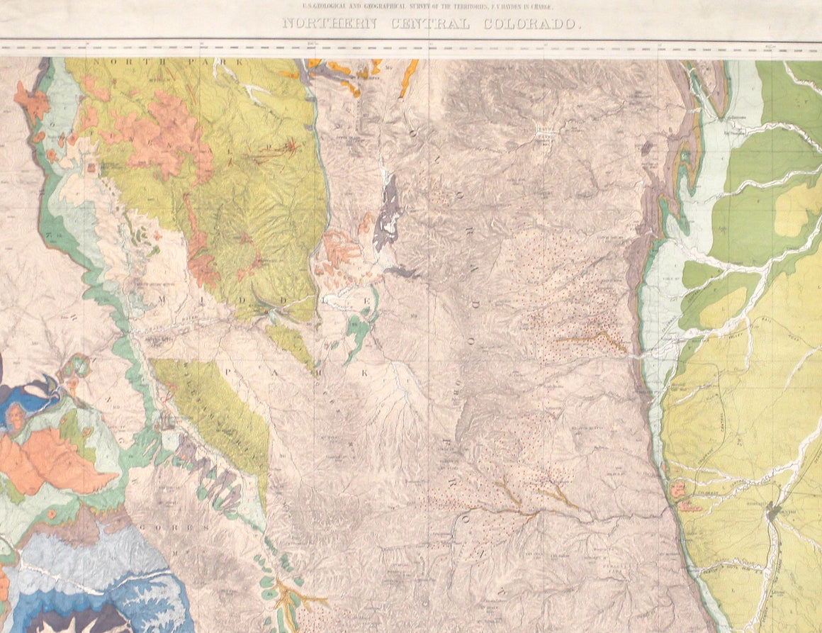
1907 Nell's Topographical Map of the State of Colorado
$6,500.00
This highly detailed pocket map is a topographical map of the state of Colorado by Louis Nell from 1907. The map "has been compiled from all available surveys in existence... [I]t is consequently the most complete and accurate one ever published, and shows all the information useful to settlers, miners and travelers."
The map is fully engraved with virtually no area left untouched by the engraver. The map is colored to indicate Forest Reserves, agricultural lands, timber reserves, watersheds, and creeks. Towns, villages, settlements, mining areas, railroads and townships are also highlighted. The map is drawn on a scale of 10 miles to every 1 inch.
Louis Nell traveled to Colorado in the mid-1870’s as a topographical assistant to leading cartographer George Wheeler. Nell enjoyed the area so much that he settled there and published a series of maps of the state between the years 1880 and 1907. He formed one of the most continuous cartographic records available for the period immediately following Colorado statehood. His intensely detailed maps captured the rapid development of the state, including the great Silver Boom during the late 19th century. This is the final edition, sold by the Kendrick Book & Stationery Company, and is a very scarce issue.
CONDITION:
Overall very good condition. Some visible wear along fold lines. Printed color is bold. The map has been framed according to the highest conservation standards. Framed dimensions: 45 ½” H x 55 ½” W x 3" D.
Related Items


© 2024 The Great Republic. All Right Reserved.